Matador Ambassador / champion freeskier Drew Tabke and crew get unreal backcountry access in Alaska.

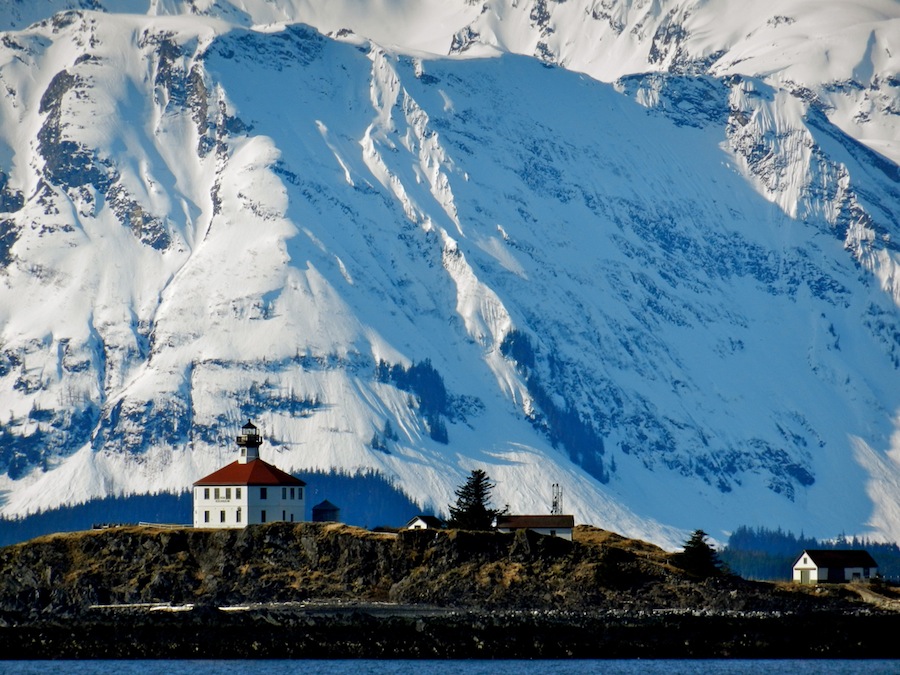
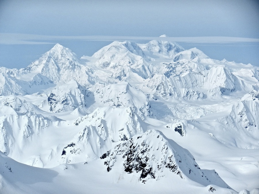
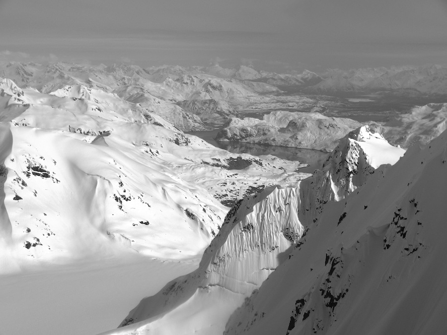
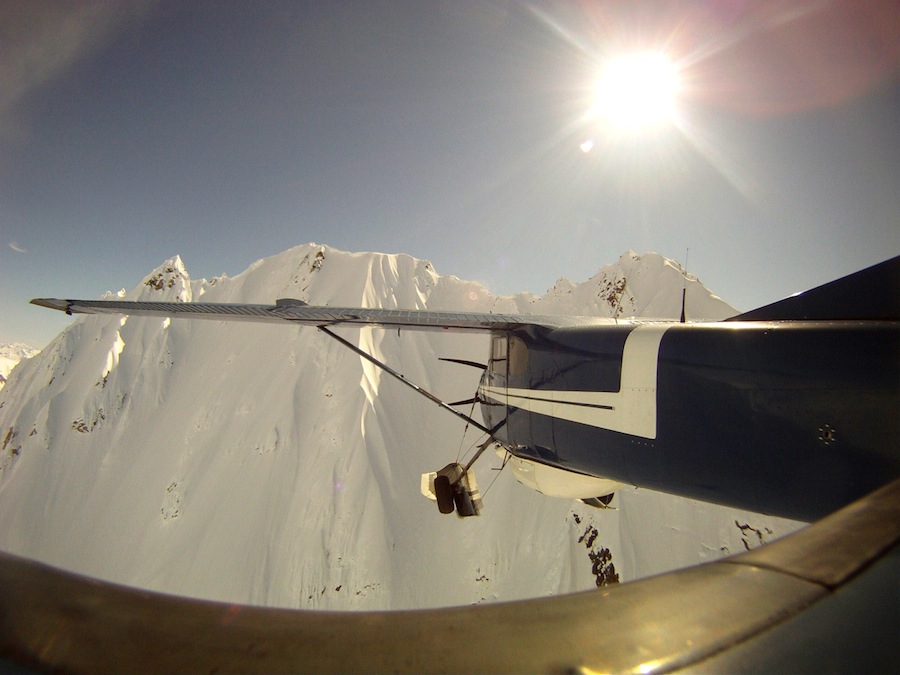
IN LATE APRIL I went to Alaska with two of my good friends from Chile — Chopo Diaz and Claudio Vicuña. Our plan was to be dropped off by a ski plane on a glacier near Glacier Bay National Park.

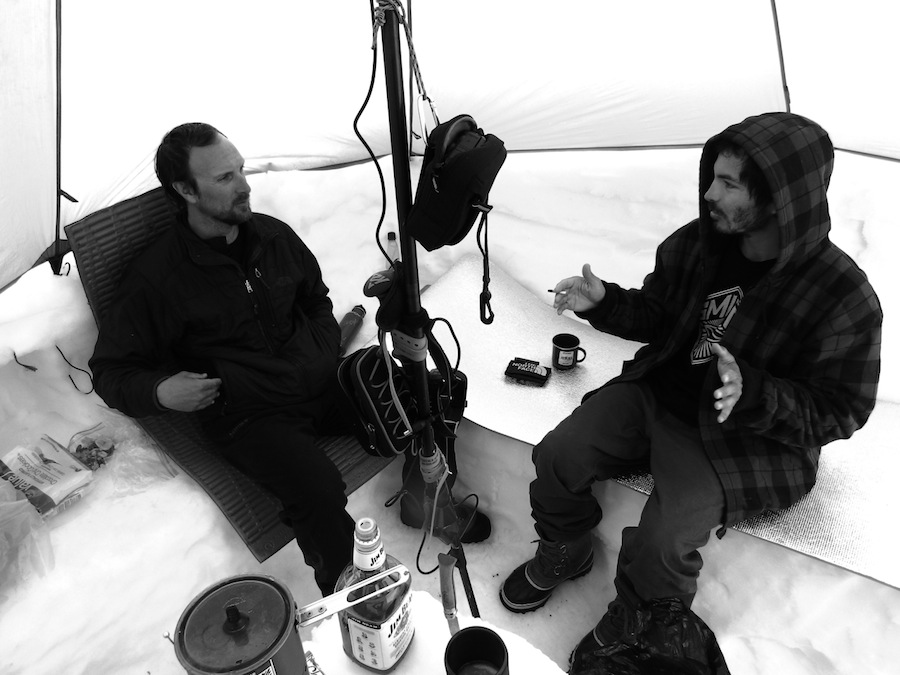
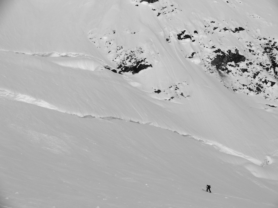
Once on the glacier we’d make camp and backcountry ski for about 10 days. It was the best of both worlds: mechanized assistance to get us to an incredible mountain environment, and the isolation, freedom of choice, and independence offered by camping and ski touring.

1

Lynn Canal

During the Klondike Gold Rush, the Lynn Canal was a major route for miners heading to Skagway, Alaska, hoping to strike it rich. We experienced the same feeling of heading into the unknown as we sailed north on this historic and dramatic waterway with our expedition equipment packed below deck. The ferry took us from Alaska's capital, Juneau, four hours north to the fishing town of Haines.

2

Fly Drake

This is an image taken from Chopo Diaz's GoPro which our pilot, Drake Olsen, attached to the tail of his Cessna 180. Drake, a former Le Mans Porche race car driver, is an amazing pilot capable of doing amazing things with his plane. In this image he is flying straight towards the wall of spines on the high peak above our camp which we eventually skied.

3

Camp Kitchen

Here we are during one of countless hours spent in the kitchen; Claudio is on the left and Chopo on the right. Chopo had never snow camped before this 11-day expedition but he seemed right at home. Snow, after all, is Chopo's natural habitat - in six years he skied twelve winters between Chile, North America, and Europe. Claudio spends extensive time in Patagonia, Chile's southern latitude equivalent of Alaska, thus the climate was no problem for him either. Our kitchen was a source of much pride - every square inch of snow was lovingly sculpted to maximize comfort and efficiency of space. Hanging from the center pole are a camera, an iPod, and speakers which we kept charged with solar panels.

4

Mt Fairweather

Reaching a high ridge early one morning we gained a view of 15,325' Mount Fairweather. This deceivingly named peak receives powerful winter weather all year long, getting around 100" of precipitation annually. Though Chopo and I felt like we were conquering an itimidating Alaskan peak, an ocean of summits sprawled to the west, growing bigger with each consecutive ridgeline, culminating with the summit of Fairweather, nearly 10,000' higher than where we were standing.

5

Climbing Shrund

The cracks Chopo is skinning towards are called bergschrunds. They're a kind of crevasse which forms at the interface between a glacier flowing down the valley and the ice and snow that coats the steeper walls at the sides. We heard that these cracks were much bigger than in previous years because of continued record warm summers, but thanks to the high snow totals we found easy places to cross where the ~100-foot deep cracks were bridged with snow or completely filled in.

6

Camp from Summit

The Morse Glacier was heavily used by backcountry skiers this year. Before our arrival, an American ski film crew had visited for almost two weeks as well as a group of five Swiss backcountry skiers. The extremely stable weather meant their old camps and tracks were never wiped away by wind or snow. There was also a party of seven to our east on the Muir Glacier, a party of two the next glacier to the west (the Cushing) and another large group even further west (on the Carroll). In previous years our pilot, Drake Olsen, would bring a couple dozen climbers and skiers into the park. This year the number was closer to 200.

7

Muir Inlet

Connected to the Pacific Ocean, the Muir Inlet could be seen from the summit of the highest peak above camp, which we reached on our sixth day. Within ten miles, the glacier we were camped on (the Morse) meets with the Muir Glacier and arrives nearly to the sea. Due to rapid retreat and deterioration, this glacier which once flowed directly into the sea receded inland in 1993 and became a terrestrial glacier. As recently as 1979, the glacier flowed about 16 feet per day, whereas today that rate is .5 feet per day.