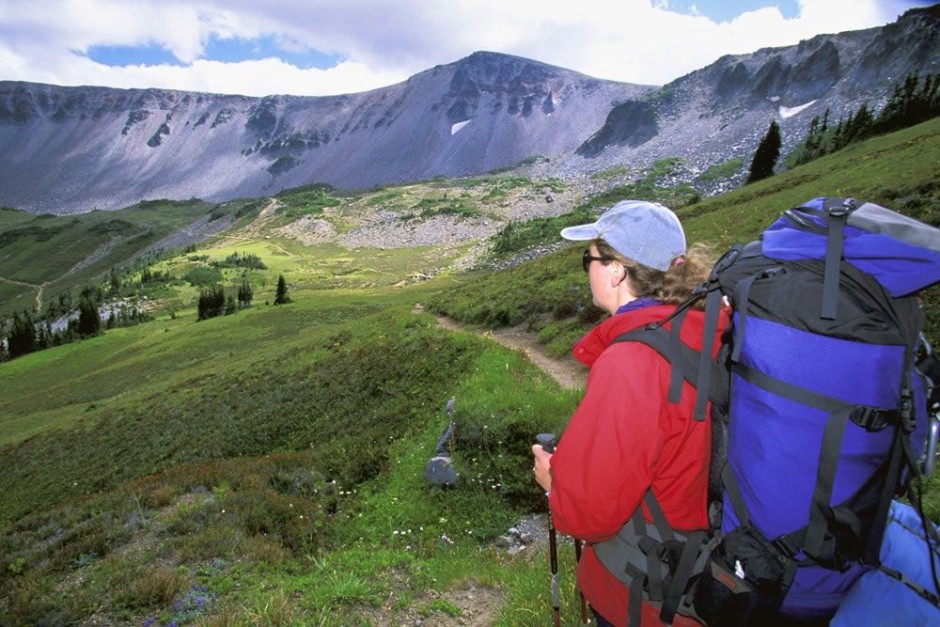
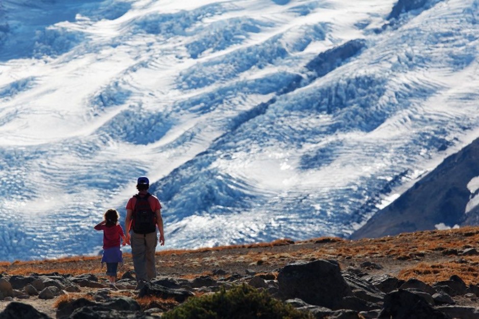
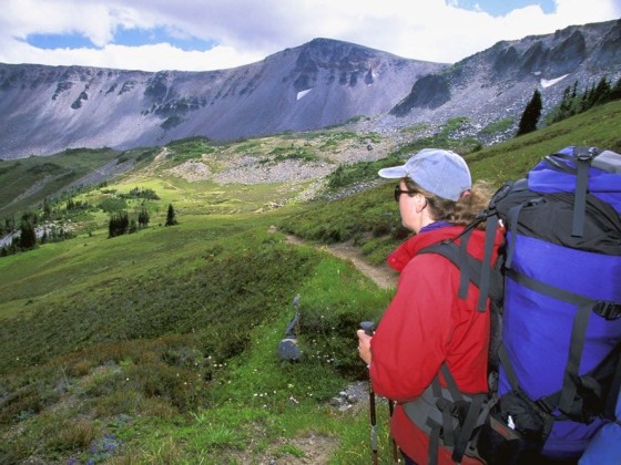
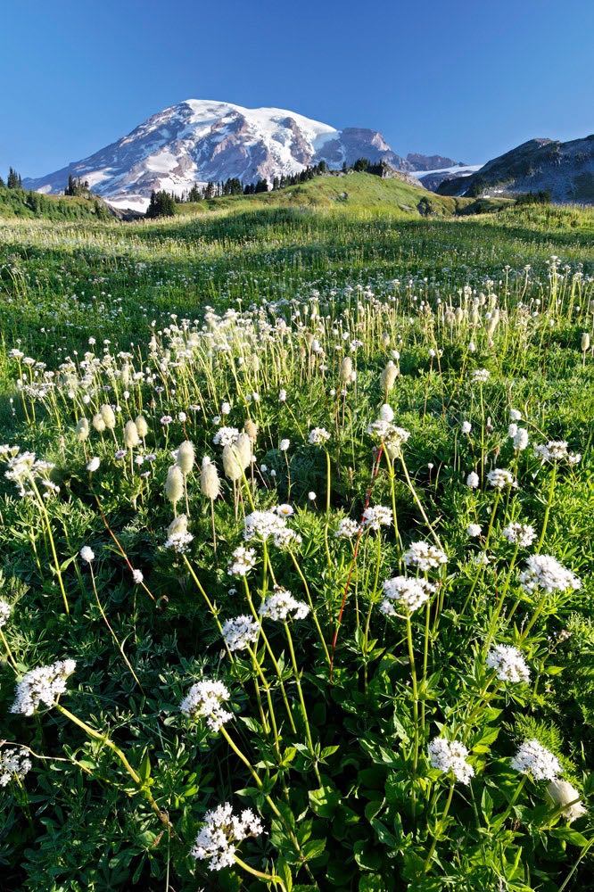
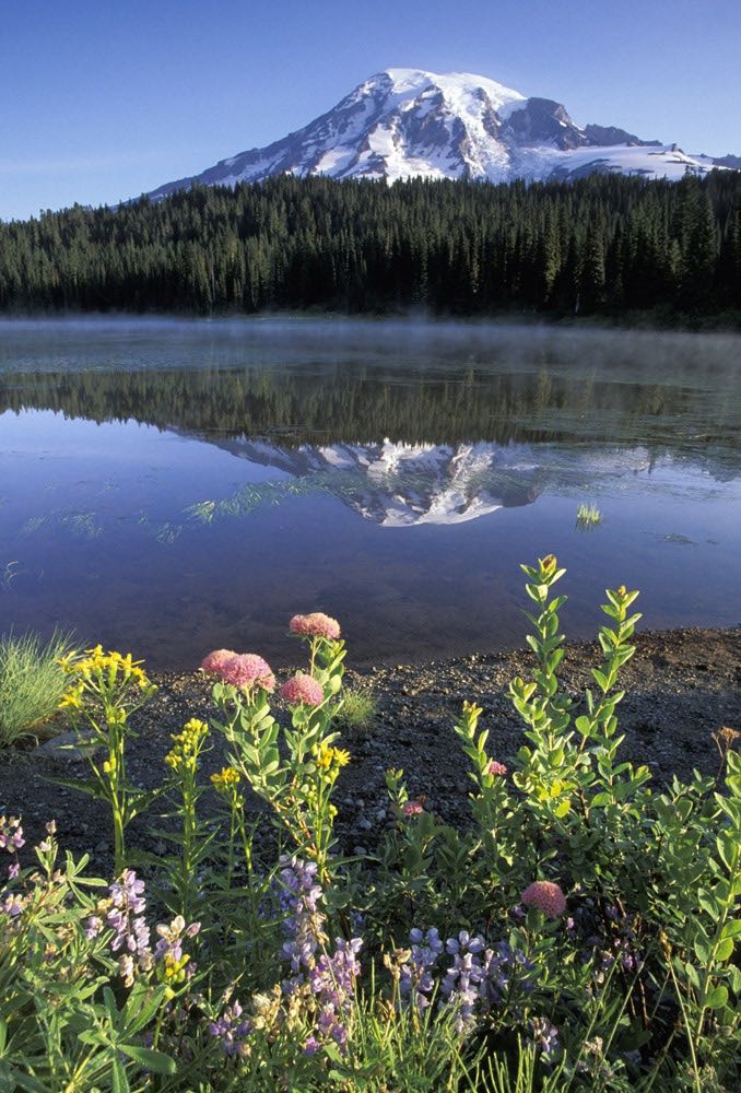
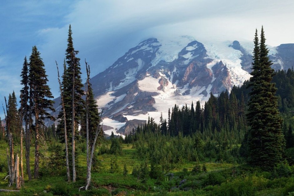
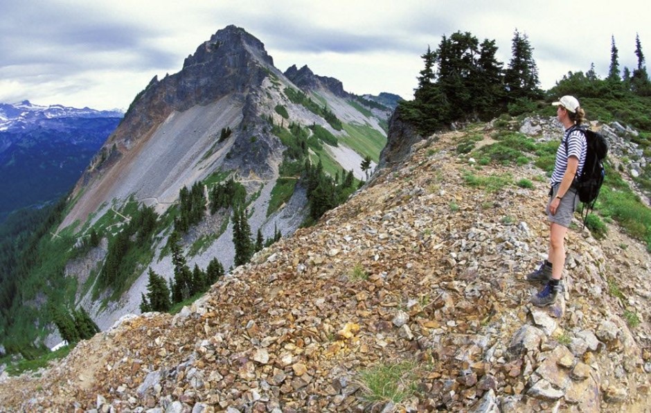
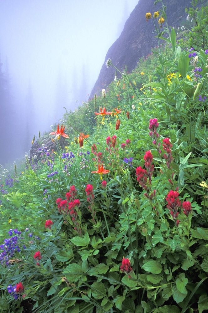
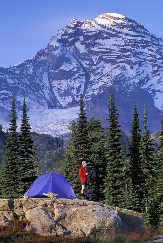
Mount Rainier stands so dominant over Washington state’s landscape that we simply refer to it as “The Mountain.” It is one of the most massive volcanoes in the entire world, dominating the Cascade Range. This 14,410-foot active stratovolcano is the most glaciated peak in the contiguous United States, and Mount Rainier National Park has 25 major glaciers within it. With points in the park also as low as 1,600 feet, the mountain’s massive elevation profile generates its own weather patterns, influencing the ecology for hundreds of surrounding square miles. The park’s old-growth forests, flowery subalpine meadows, and icy alpine heights, make it one of the most memorable national parks in the United States.

1

Paradise Meadows

Most visitors to Mount Rainier National Park head straight to Paradise Meadows...and for good reason. A short walk in these 5,500 -foot elevation subalpine meadows surround you with blooming wildflowers, typically peaking in mid-August. This year, with Mount Rainier's snowpack currently at only 31% of normal, the meadows will likely melt out and bloom much earlier.

2

Reflection Lakes

To capture your postcard picture of Mount Rainier, go to Reflection Lakes. You can take this classic shot right from the side of the road, but get there very early in the morning for the best chance of a mirror flat-water surface.

3

Mazama Ridge

Mazama Ridge makes a great half-day hike, from either Paradise Meadows or from Reflection Lakes. Black bears are often spotted in the forests just above Reflection Lakes and there are swaths of wildflowers in higher meadows that rival those of Paradise.

4

Autumn in Mazama

In autumn, the meadows of Mazama Ridge turn from colorful wildflowers to colorful autumn foliage of mountain huckleberry, vine maple and mountain ash.

5

Pinnacle saddle

Pinnacle Saddle makes for a great day hike from Reflection Lakes. The trail first ascends through subalpine forest, then up through open talus slopes. Listen for the sharp whistle of pika hiding in the rock slides. After about an hour of climbing, you reach the pass between Pinnacle and Plummer Peaks. Now turn around for the most phenomenal view of Mount Rainier's southern slopes you ever will see. This trail is 2.5 miles round trip with a little over 1000 feet of elevation gain.

6

Kautz Creek Trail

There are several trails leading to Indian Henry's Hunting Ground. My favorite is via the Kautz Creek Trail, which gets you to the wildflower meadows quicker. Good as a moderate day trip or as a more leisurely backpack, the trail gains 3000 feet over 11.5 miles round trip.

7

Backcountry camping

If backcountry campgrounds are full at Indian Henry's, ask the ranger about the "Pyramid Peak cross-country zone." Permits are required for all backpacking in Mount Rainier National Park, and backcountry sites fill up fast. If you can handle a little off-trail navigation and are up for discovering you own place to camp, excursions into cross-country zones provide another option.

8

Spray Park

Spray Park is "wildflower headquarters" in the Park's northwest region. This popular 6 mile round trip hike covers 1,300 feet of elevation gain from its trailhead at Mowich Lake to its blooming subalpine meadows.

9

Wonderland Trail

For the ultimate backpacking trip in Mount Rainier National Park, continue from Spray Park and hike all the way around the mountain. This 95-mile Wonderland Trail typically takes 10-12 days, with a whopping 22,000 feet of elevation gain and loss as you climb up and down over high ridges. Hike the trail clockwise, as most people do, to enjoy a little extra comradary with fellow backpackers at camp each night. And pre-cache food and fuel at a couple of the ranger stations along the route to reduce the load on your back.

10

Mystic Lake

Be sure one of your Wonderland Trail camps is near Mystic Lake. Rise before the sun for magical reflections of Mount Rainier or Skyscraper Mountain (shown here) reflecting in the still lake.

11

Emmons Glacier

The trails up Burroughs Mountain, in the Park's northeast corner, offer an in-your-face panorama of Rainier's icy Emmons Glacier. Listen to the glacier's ice snap and pop as it slowly grinds its way down Rainier's east face. Also survey nearby slopes for mountain goats, which are common on Burroughs and surrounding mountains. This 4.7-mile loop includes 900 feet of elevation gain.