For travelers worldwide, Google Maps is a crucial tool that’s become so integral to the travel experience that it’s hard to imagine venturing anywhere without it. Saved locations make it easy to find the places you promised yourself you’d return to, and downloadable directions make it a breeze to navigate terrain you’ve never seen before. Soon, a new update will help you find a more sustainable route, too.
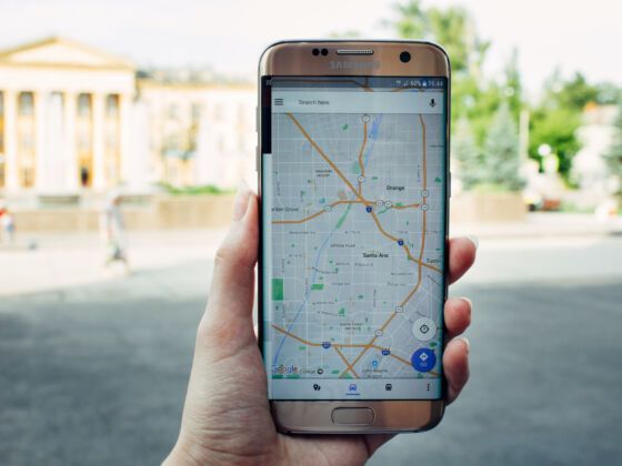
Photo: Allmy/Shutterstock
New Google Maps Feature Shows Route With Lowest Carbon Footprint
A new Google Maps feature will roll out this year in the US that allows users to pick the most eco-friendly route for their trips. The company uses information from the US Department of Energy’s National Renewable Energy Lab to find a path to your destination that will use the least amount of fuel possible. Factors of the equation include road incline and traffic.
Users will be able to toggle the eco-friendly option on or off depending on their needs, or set it so the default route provided by Google is the most eco-friendly way to get to your destination. Eco-friendly will be the default if the ETA is about the same as the fastest route. If it’s longer, you’ll be presented with both the quickest ETA and the most eco-friendly option so that you can compare the two and make your own decision.
It doesn’t stop at driving, either. All of the ways to get to your destination will be easy to find on Google Maps — from more traditional public transport to the increasing availability of electric bikes and scooters in major cities. The software will prioritize each person’s preferred way to travel. However, methods of getting around that are popular in that specific location — the subway in New York City, for example — will be front and center.
The eco-friendly update comes along with other international sustainability initiatives that are in the works. Google Maps will show low emission zones that limit cars with certain emissions levels, such as showing you how to get around without breaking the zoning rules. Germany, the Netherlands, France, Spain, and the UK already have these features, and more countries are on the horizon.
The update is part of Google’s sustainability push. The company has been carbon neutral since 2007 and plans to be carbon-free by 2030. Big businesses, not individuals, are the biggest polluters in the world. Still, reducing our own impact in small ways is a step in the right direction, and limiting the emissions from day-to-day travel is a big part of that effort. According to the Environmental Protection Agency, a typical passenger car emits 4.6 metric tons of carbon dioxide per year. By some measurements, the annual emissions from one American’s car are more than the world average for a person’s total emissions — from transport to purchases, to food and everything in between — all year.
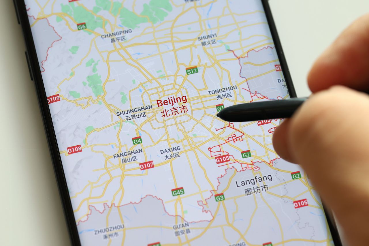
Photo: TY Lim/Shutterstock
Transportation pollution dropped dramatically during the pandemic. One study found that car and flight emissions dropped by half in April 2020. However, the change isn’t permanent — as an increasing number of people are vaccinated and able to travel, that number is likely to go up if people decide to return to life before the pandemic.
Thankfully, sustainability in travel has been front of mind for many as places plan to reopen. Countries like Spain, Costa Rica, Botswana, and others are prioritizing sustainable travel on the other side of lockdowns. The wellness industry is going eco-friendly, and airlines and other businesses are taking steps to improve sustainability initiatives. Both small steps and major changes in how we power our lives are essential for the world to hit sustainability goals.
Google is bringing other additions to Maps that will help make travel more accessible as well. An improvement called Detailed Street Maps shows the size of the street and where sidewalks, crosswalks, and accessibility points are located in London, New York, San Francisco, and Tokyo, with more cities coming soon. Maps will also show relevant COVID-19 travel alerts from local governments to help you plan safely, and the app will show COVID-19 checkpoints and restrictions on your route.
For those of us looking to avoid the crowds stemming from public transit without avoiding public transit itself, Maps will show how busy certain transit stations are and how busy a final destination is. An AR-enhanced Live View option will help travelers figure out how to get around select airports and shopping centers, so you know exactly what it looks like where you’re trying to go — and maybe even avoid a traffic jam along the way. Yes, some of us will still be frantically running around trying to find our gate at the airport, but hopefully a little less in the future.
People who prefer outdoor transportation methods will soon be able to take advantage of a weather and air quality layer that will help you prepare for the outdoors wherever Air Quality Index (AQI) data is available.
From a way to choose sustainable routes to real-time information, new additions on Google Maps will help travelers get around a little easier as soon as they’re ready to venture out again. ![]()