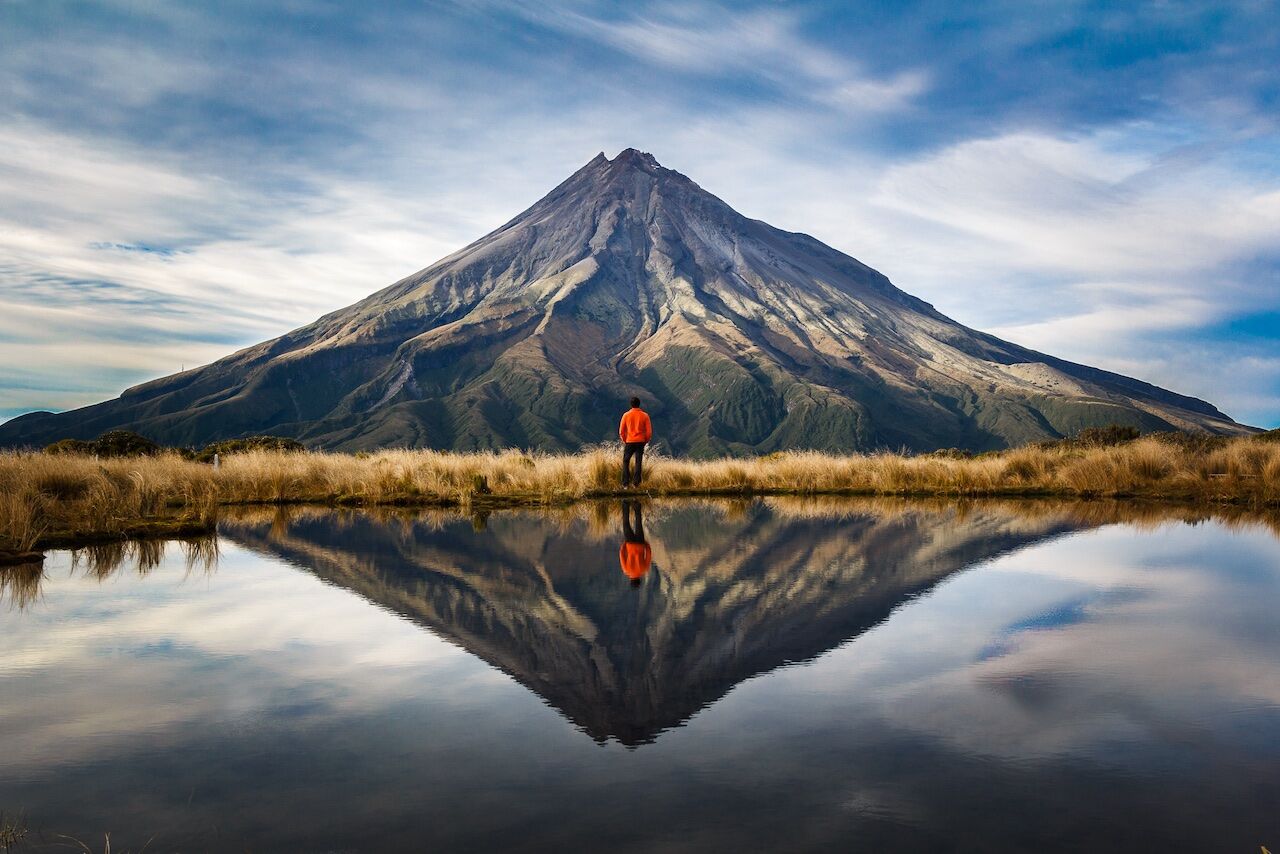
Situated in the region of the same name, on the North Island’s western coast, Taranaki is a 2518m volcanic cone that last erupted in the mid-19th century.
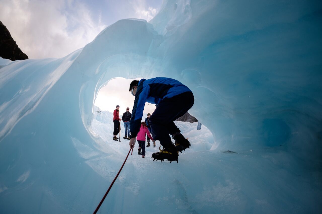
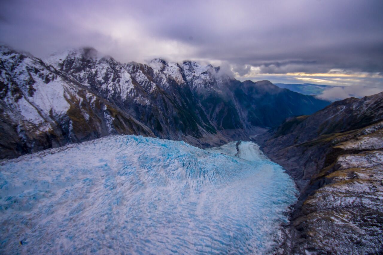
The South Island’s Westland National Park is home to this glacier and its spectacular ice caves. In 13km, the Fox drops from the peaks of the Southern Alps to rainforest along the coast.
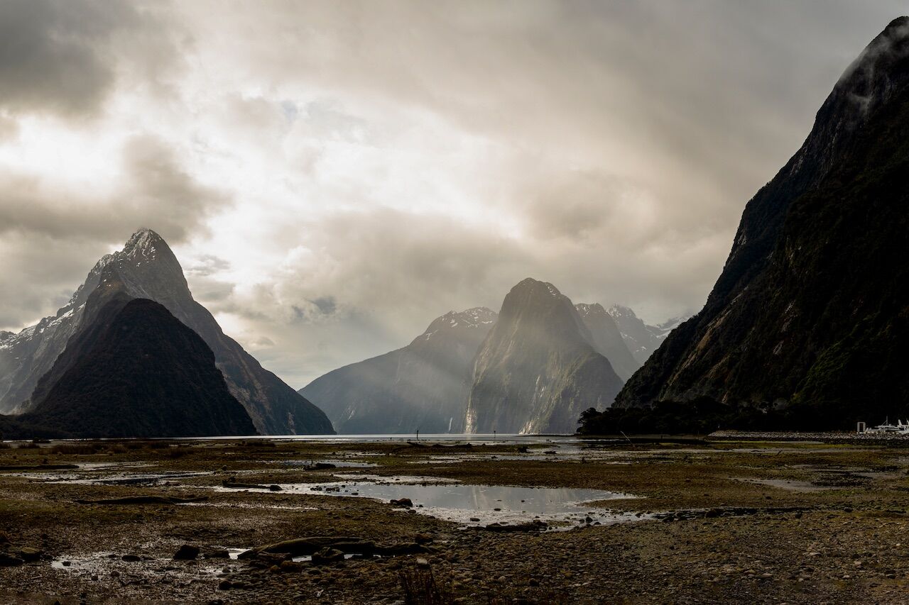
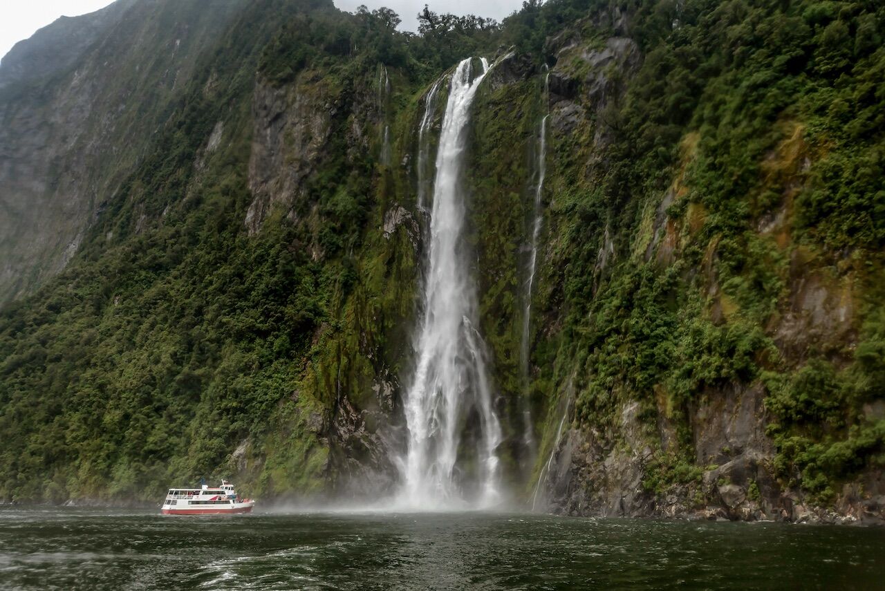
The southwestern coast of the South Island is cut by numerous fjords. Milford Sound is the best known, and is the country’s most popular tourist attraction.
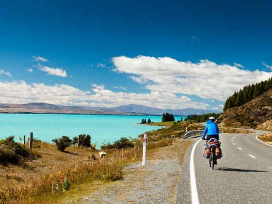
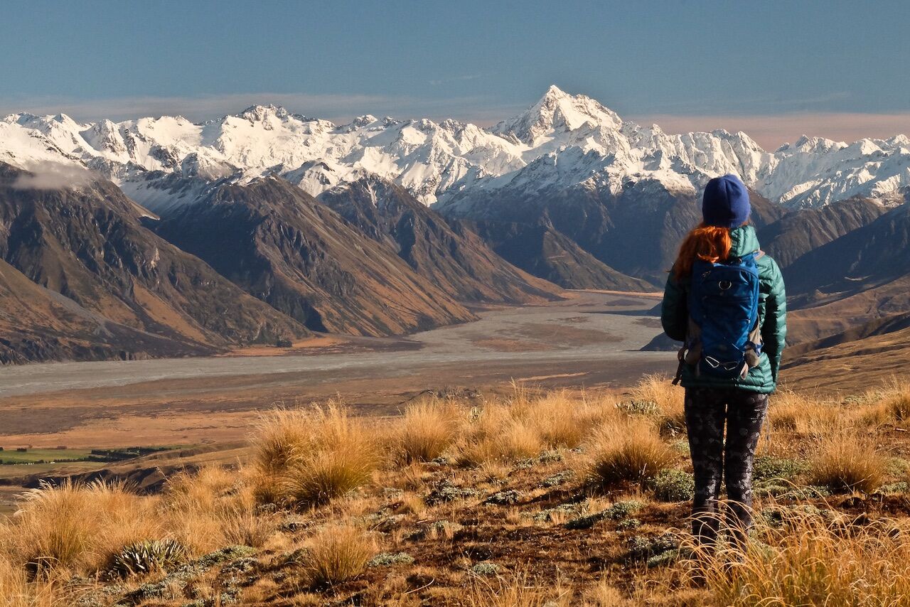
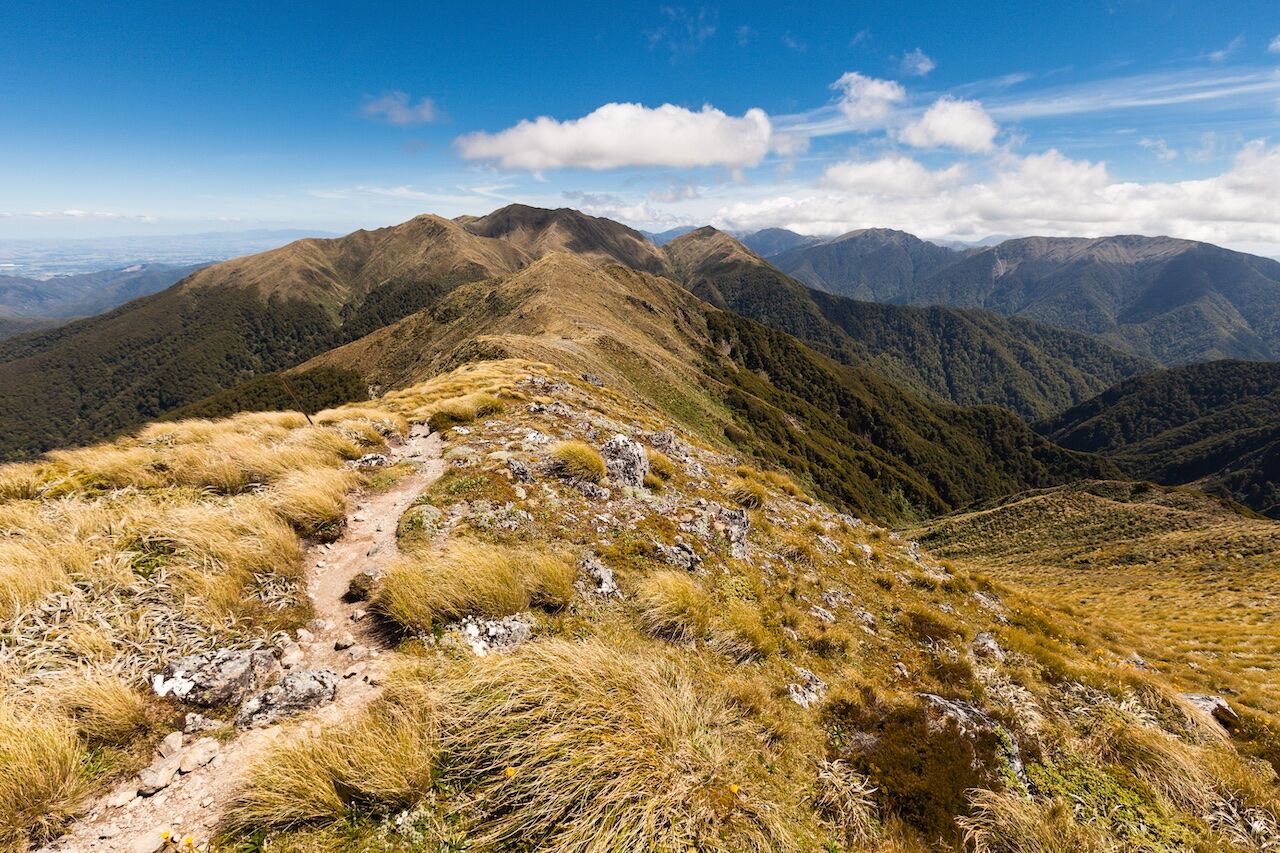
New Zealand’s tallest mountain range contains 20 peaks over 3,000m, the highest being Aoraki/Mt. Cook at 3,750m. It’s a great starter range for mountaineering.
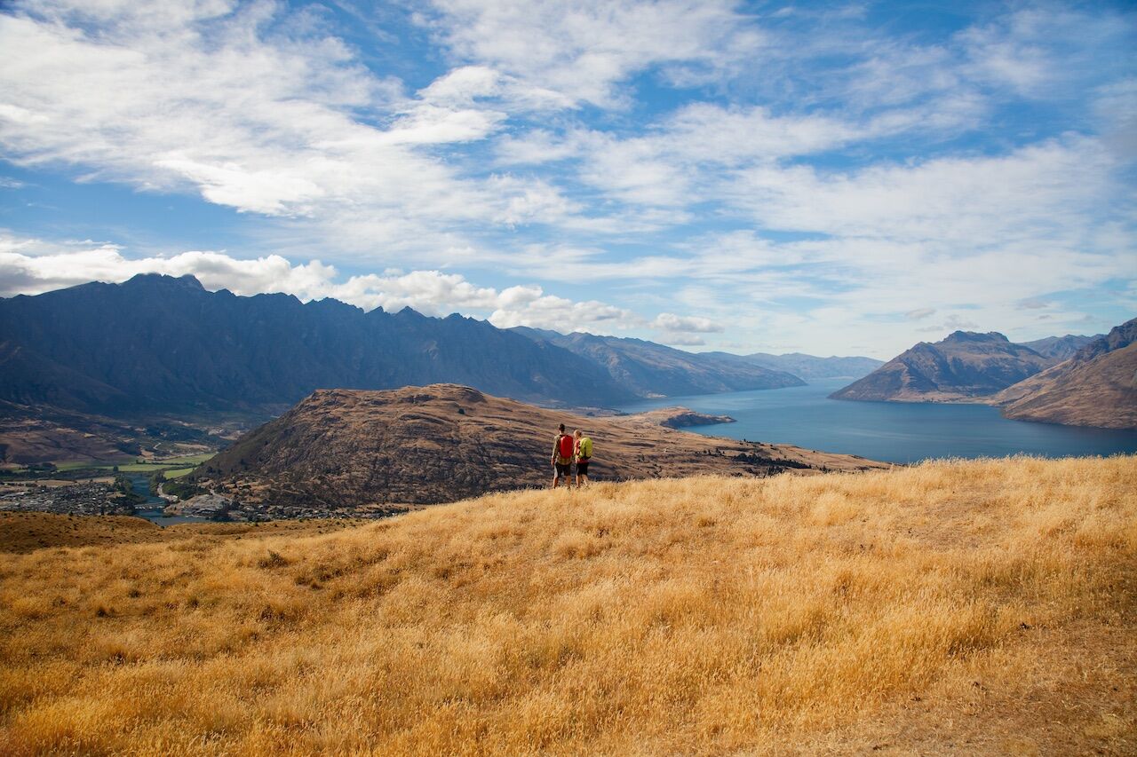
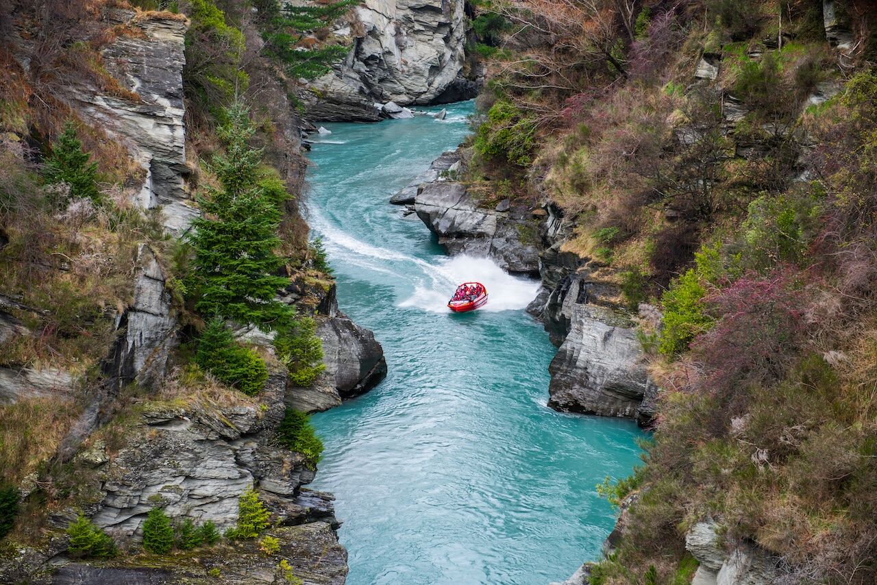
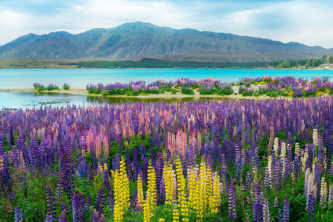
A finger lake shaped like a lightning bolt, the Otago region’s Wakatipu is 80km long and shares a shore with the resort town and adventure tourism capital of Queenstown.
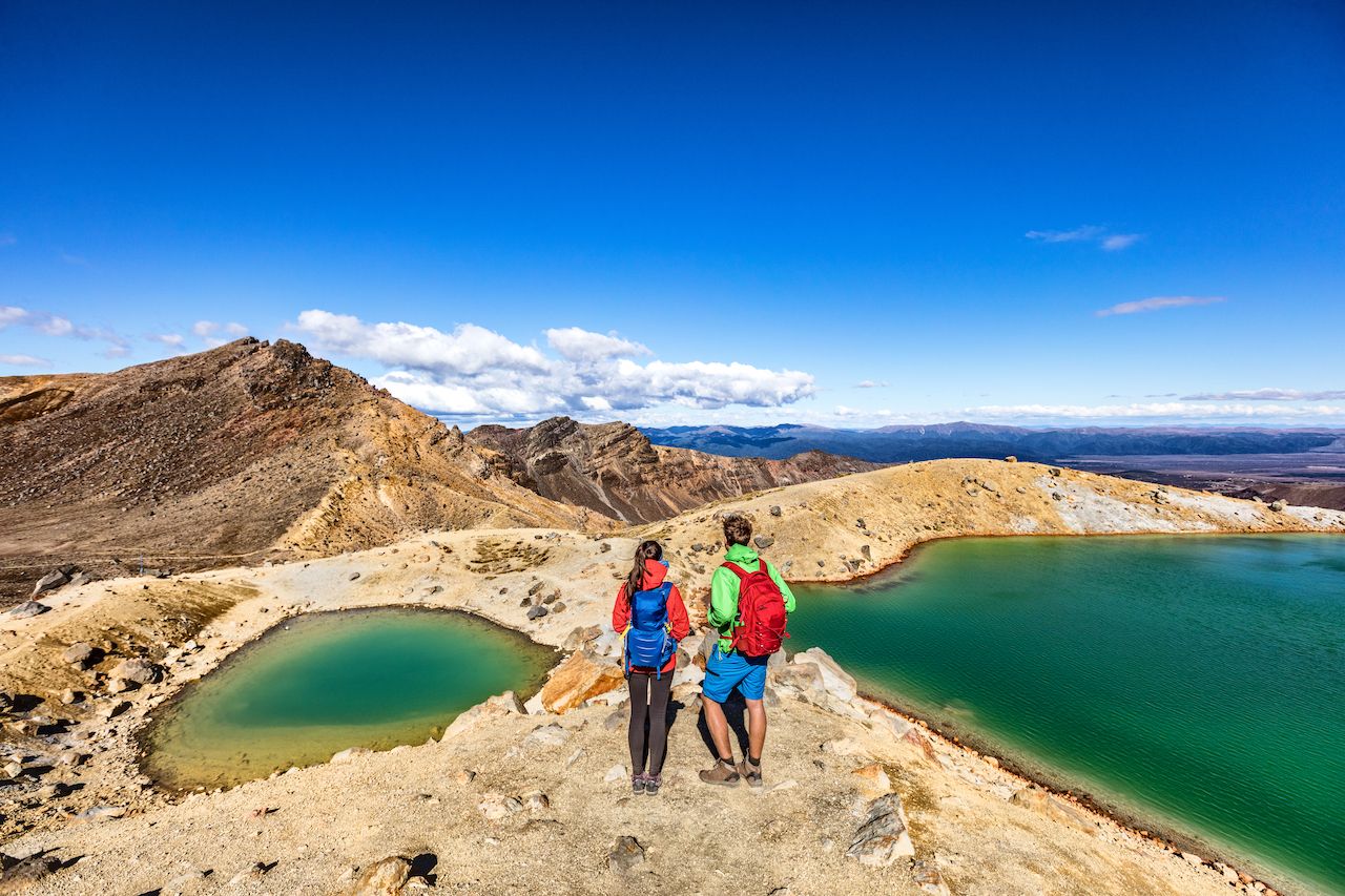
The Tongariro Crossing trail runs for 19km through volcanic terrain in the center of the North Island. It passes the base of Mt. Ngauruhoe, known to a lot of the world as Mt. Doom. The national park is the country’s oldest.
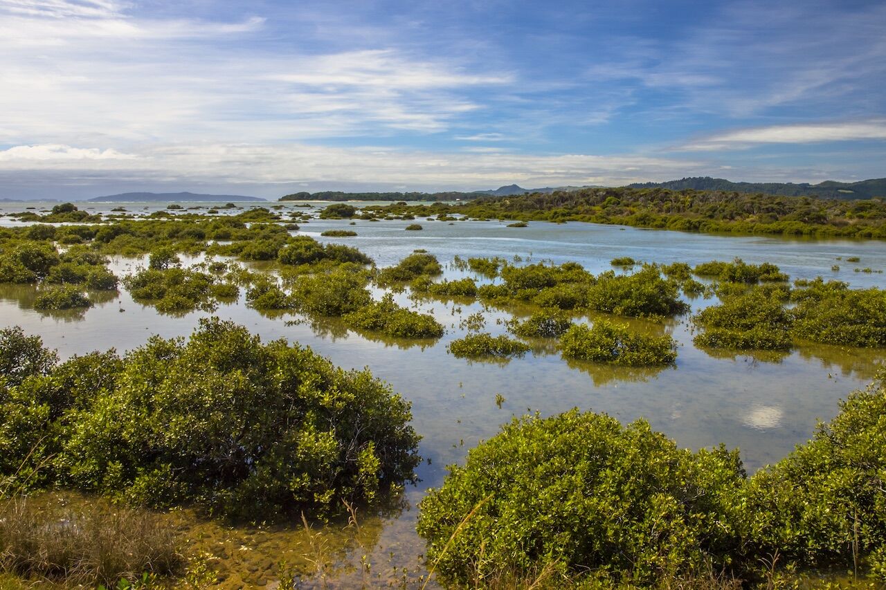
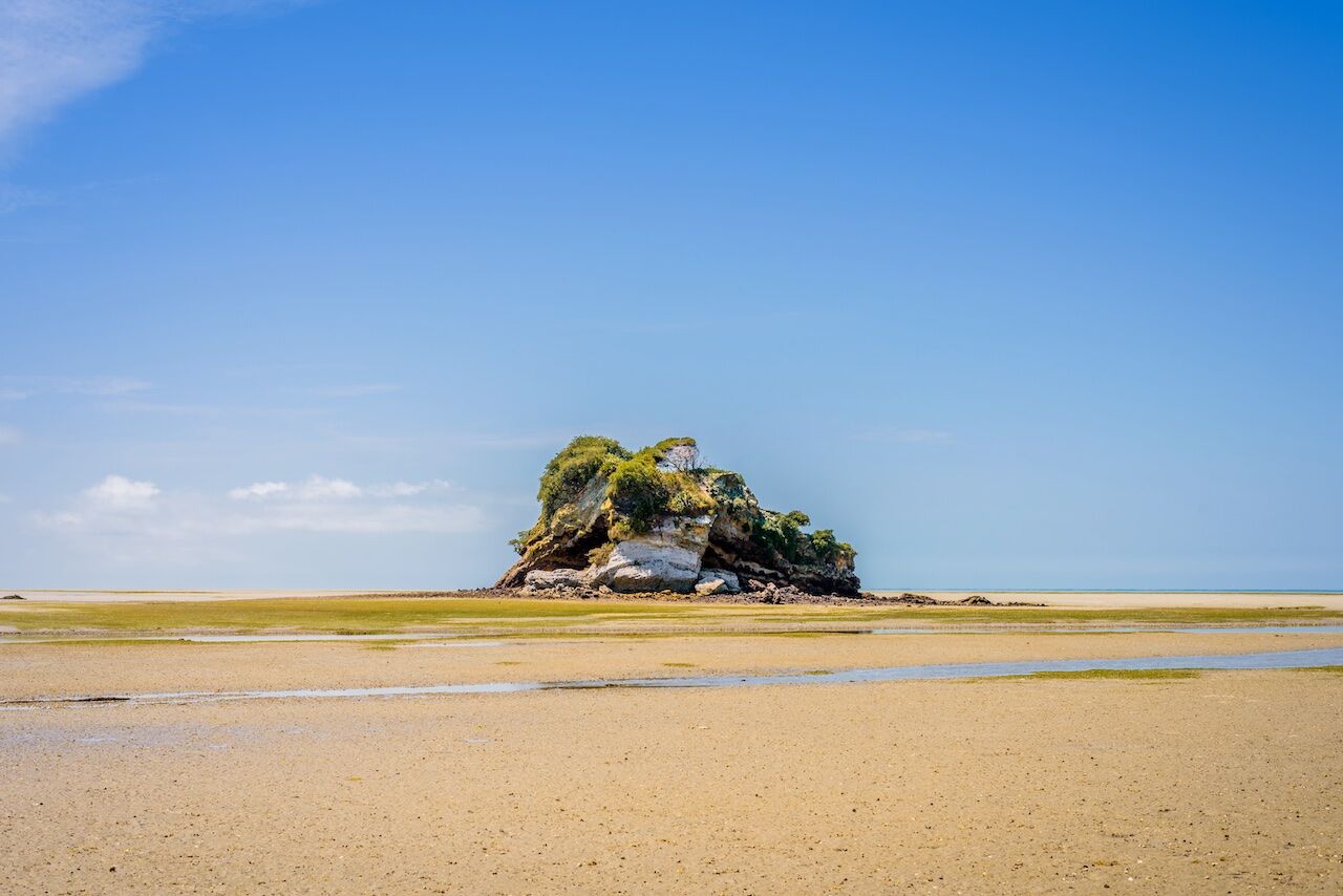
The coastal landscape of the country’s northern regions is where the most southerly mangroves in the world occur. Photo above was taken near Rawene, Northland.
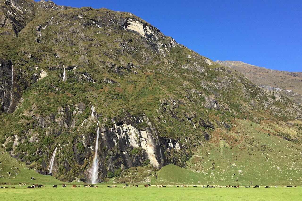
Mt. Aspiring is the only 3,000+ peak to stand outside the Aoraki/Mount Cook area. Its tiny national park is just 20 miles as the crow flies from Milford Sound and about 10 from the northern reaches of Lake Wakatipu.
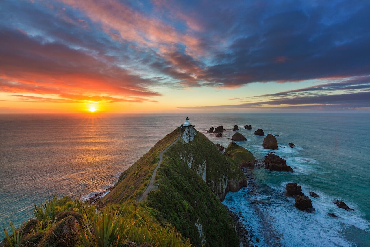
A lighthouse of the same name gives a good view of these southern Otago islets and their wildlife. If you could see for 2,000 miles out to sea, you’d be looking at the coast of Antarctica.
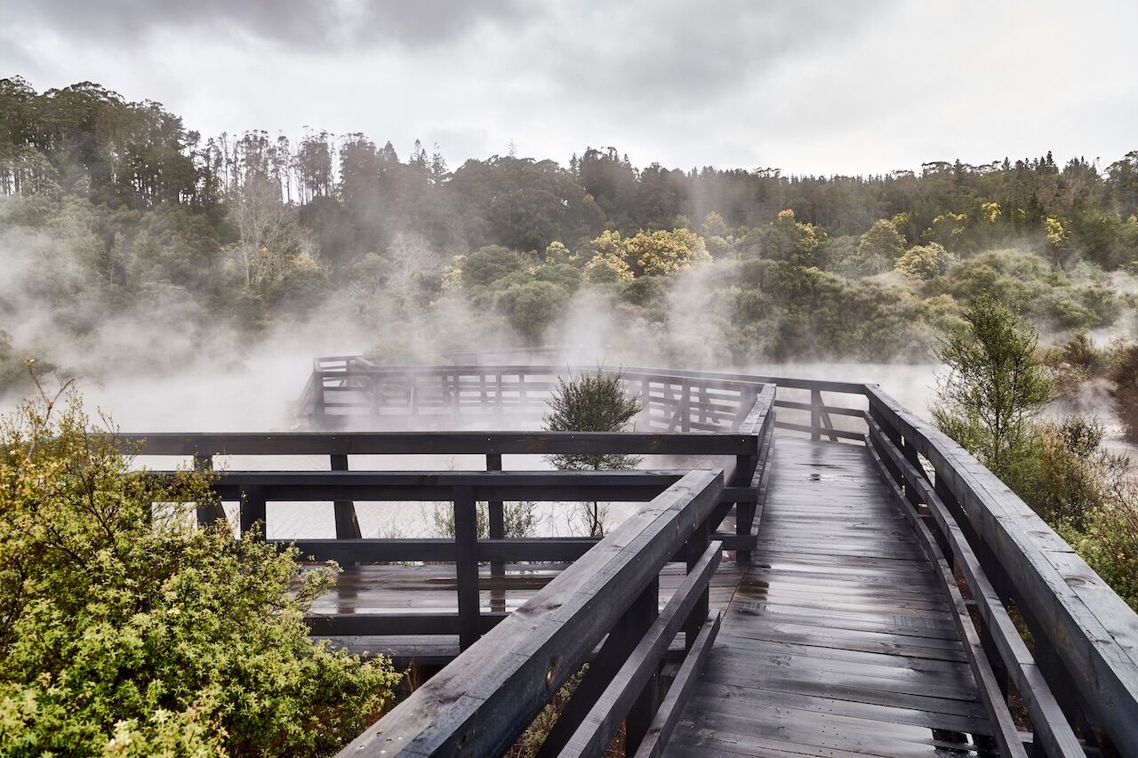
The Whakarewarewa area is geologically active, home to a number of geysers and hot springs, as well as a grove of California coast redwoods, planted here in 1901.