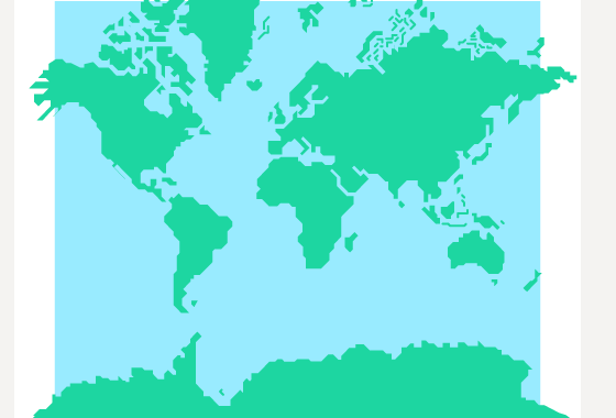
The Earth is a sphere, a 3D shape. Maps are flat and 2D. If you try and translate one to the other you will always create alterations trying to make it fit.
Africa for example, is a lot bigger than we think. Maps suggest that the USA is half the size of Africa, when it’s less than one-third. Germany and Tanzania appear the same size, but Tanzania is in fact over 200,000 square miles bigger. Unless two countries are parallel to one another, one will always be bigger or smaller than we think.

