Named after the iconic spiky and uniquely-shaped tree, Joshua Tree National Park is located in southern California, in the middle of the desert. The national park is well known for its stunning rock formations, with giant red boulders scattered throughout the area. That landscape translates into an expansive and easily recognizable park where short walks can lead to famous viewpoints, and where a single day can include hiking, climbing, stargazing, and scenic drives. It’s easy to reach from Los Angeles or Palm Springs, and here’s what to know to plan an exciting trip to the park.

What to Know When Planning a Trip to Joshua Tree National Park
When to visit
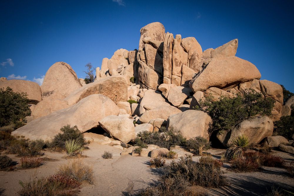
Photo: Jessica Devnani
High season for the park is February to May, when the temperature is most moderate. Low season is during the summer, from June-September. You will avoid the crowds during this time, but it also gets extremely hot during the day. Spring is the most popular time to visit for a reason. Daytime temperatures are typically more comfortable for hiking, climbing, and sightseeing, and cooler mornings and evenings make it easier to spend longer stretches outside. This is also the period when wildflowers may bloom after wetter winters, adding another draw for visitors. The tradeoff is heavier traffic at park entrances, busier trailheads, and limited parking at major sites, especially on weekends, holidays, and school breaks.
Fall and winter can also be strong times to plan a trip, depending on what kind of visit you want. Autumn usually brings a drop in temperatures after the intense summer heat, while winter offers crisp days, cold nights, and generally smaller crowds than spring. Visitors should still plan carefully during these seasons, since desert weather can shift quickly between day and night, and windy conditions are common at times of year. No matter when you go, it is worth starting early, carrying more water than you think you’ll need, and building your itinerary around the reality that shade and services inside the park are limited.
How to get there
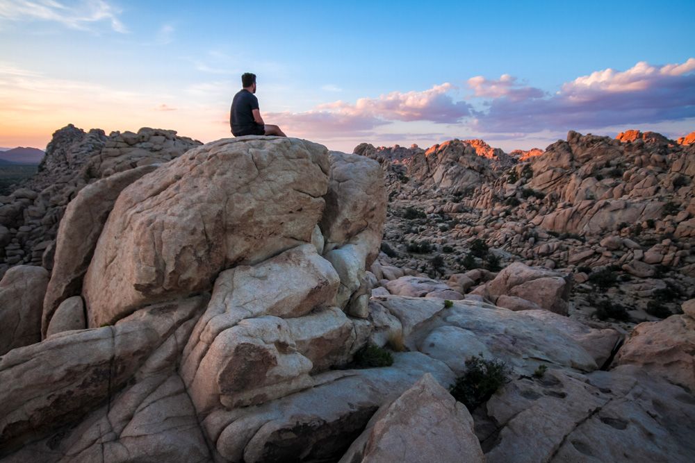
Photo: Jessica Devnani
Where to stay
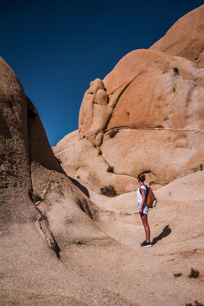
Photo: Jessica Devnani
Check out Matador’s guides to Airbnbs near Joshua Tree National Park:
What to do at Joshua Tree National Park
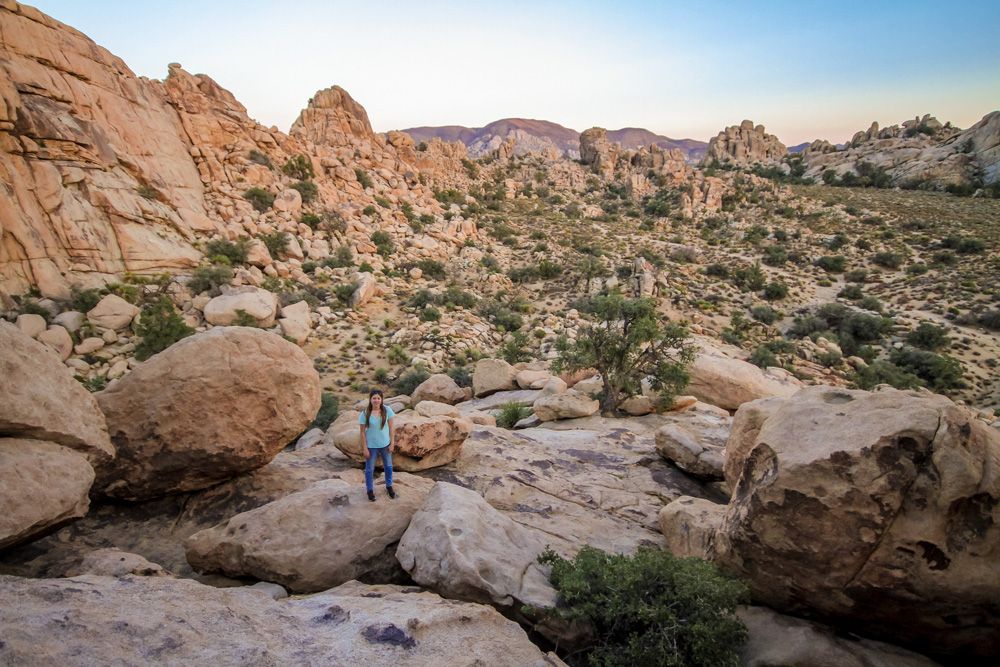
Photo: Jessica Devnani
Joshua Tree is an easy park to explore without overplanning, but it helps to group your stops by area so you are not spending most of the day driving. For a first visit, the western and central sections of the park are the most efficient place to start, since they concentrate several of the best short hikes and rock formations within a relatively compact stretch of road. Hidden Valley is one of the best introductions. The one-mile loop is easy, family-friendly, and passes through a basin ringed by enormous rock piles, with light elevation gain and plenty of opportunities to pause for photos or short scrambles on nearby boulders. It is also one of the park’s most popular areas, so going early makes a noticeable difference for parking and heat.
From there, Split Rock is a good next step for travelers who want something longer without committing to a strenuous climb. The full loop is about 2.5 miles with roughly 150 feet of elevation gain, and it adds more variety than some of the park’s shortest walks, moving through boulder fields, washes, and open desert terrain. A short spur leads to Face Rock, and the broader area feels less compressed than Hidden Valley, which makes it a strong pick for visitors who want space to wander while still staying on a defined route. Ryan Mountain is the bigger effort-reward hike in this group. The trail is three miles round trip, climbs about 1,050 feet, and is considered difficult, but the summit delivers one of the park’s best panoramic views across the Wonderland of Rocks, the Pinto Basin, and surrounding mountain ranges.
Cholla Cactus Garden works best as a short stop rather than the centerpiece of a day. The flat quarter-mile nature trail passes through a dense stand of teddy bear cholla in the Pinto Basin and is especially good in low light, when the spines catch the sun. Closed-toe shoes matter here, since fallen cactus segments and needles can end up on or near the path. One planning note: the National Park Service says the Cholla Cactus Garden trail is closed until late spring 2026 for trail improvements, so check current park alerts before building your day around it.
The broader appeal of Joshua Tree is that you can combine marked trails with unstructured exploration, but that does not mean treating the landscape casually. The park does allow scrambling on rock formations, and part of the fun is pulling over at signed areas, walking short distances, and finding your own vantage points among the boulders. Still, the National Park Service urges visitors to use defined trails where they exist, avoid creating social paths, and prepare for limited shade, sparse cell service, and long distances between services. For most readers, the smartest approach is to plan one or two bigger hikes, add a few short roadside stops, download offline maps before arrival, and save sunrise or late afternoon for the most exposed areas.
Safety tips
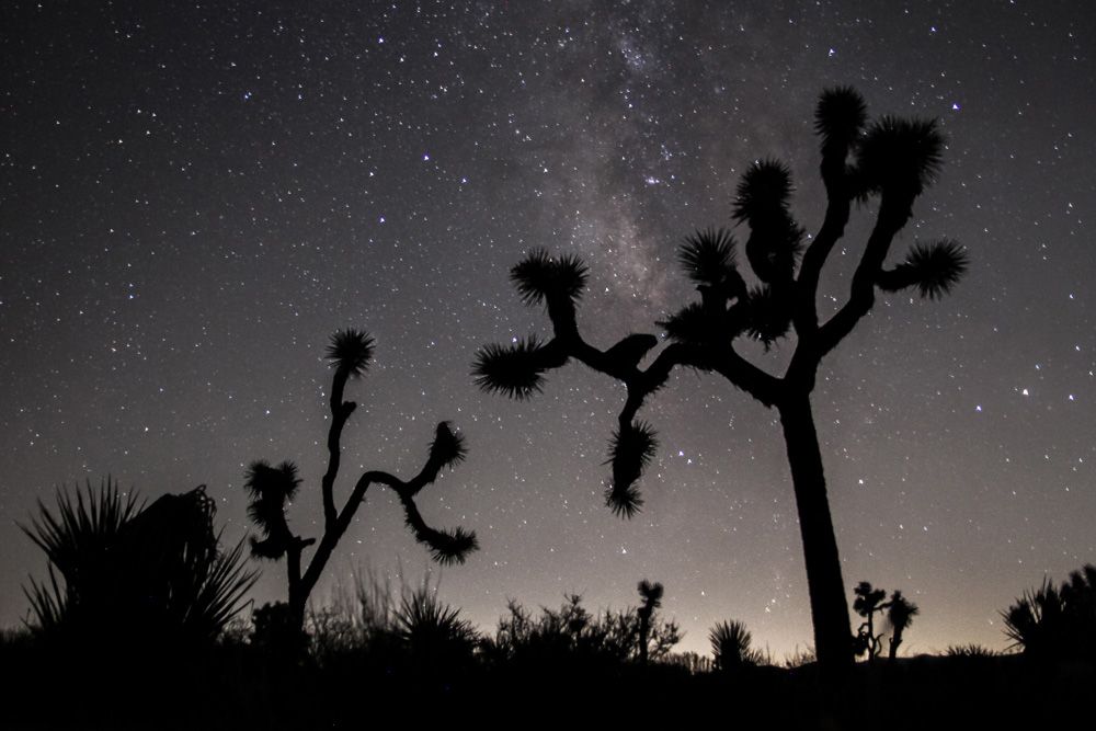
Photo: Jessica Devnani
- The park gets extremely hot in the summer. Try to do any extensive hikes either before 10 AM or after 5 PM to avoid the midday heat.
- Remember to drink lots of water! There are only a few water stations throughout the park, so it’s best to bring as much water as you’ll need for the day in with you.
- Never hike alone and always tell someone else what area you will be in and when you are expected to be back by.
- There are a few venomous creatures inside the park. Keep an extra eye out, especially when climbing and reaching on things you can’t see.

All photos are the author’s.