Since 2013 Jan Dudeck has returned regularly to map out what he has coined the “Greater Patagonian Trail” — a 1500km route which includes old roads, horse and game trails, footpaths, and rivers. It’s the longest continuous trail in South America. From mid-December 2016 to mid-April 2017 a group of four trekkers will traverse the trail to highlight the area — the people, the culture, the landscape — in efforts for the conservation and preservation of the land and local cultures. Garrett Martin, Robyn McLellan, Aljoscha Adam, and Robert Caruana Dingli will be documenting their journey and will put together a feature-length documentary called UNBOUNDED.
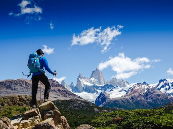
Photo: Olga Danylenko/Shutterstock
The Greater Patagonian Trail Could Be the Most Epic Through-Hike You Don't Know About
They are crowdsourcing funding through Kickstarter to help with the costs of producing the film. The campaign ends October 24; you can help them out here. The photos and captions below describe parts of the trail they will be exploring.
Editor’s note: These spots are all taken directly from travelstoke®, a new app from Matador that connects you with fellow travelers and locals, and helps you build trip itineraries with spots that integrate seamlessly into Google Maps and Uber. Download the app to add any of the spots below directly to your future trips. ![]()
Volcano Descabezado Grande
Descabezado GrandeSan Clemente, ChileGPT Section 1 – Volcano Descabezado Grande
“Image was taken during a horse back tour in 2010 or 2011, two or three years before the birth of the idea to create a long distance hiking trail. We were surprised by being guided on such excellent trails that were not published in the maps available for us at this time. When reviewing these trails in Google Earth, I became aware that it is actually possible to see these trails on satellite images” – Jan Dudeck
#hiking #extreme #camping
Copyright by Jan Dudeck
Laguna Caracol
Laguna del CaracolSan Clemente, ChileGPT Section 1- Laguna Caracol near the volcano Descabezado
“This lake was created by a volcanic eruption. To get to this lake you need to cross a 4 km wide lava river. This lake does not have a visible train but is trained in the underground by the porous volcanic material that shapes the entire area”- Jan Dudeck
#hiking #camping #extreme
Copyright by Jan Dudeck
Laguna Hornitos
Laguna HornitosSan Clemente, ChileGPT Section 1 – Crater and Laguna Hornitos
“This is one of many lakes that was created by a volcanic eruption that sealed a valley forming a dam and created a lake” – Jan Dudeck
#hiking #camping #extreme
Copyright by Jan Dudeck
Rio Gonzales
Estero las Monjas
Valle Pehuenco
Valle PehuencoLonquimay, ChileGPT Section 7 – Valle Pehuenco
“This minor road is now only an exit option because it could be replaced by a much nicer horse trail (now regular route) higher up in the mountain Ridge east of the road that passes several lakes” – Jan Dudeck
#hiking #extreme #camping
Copyright by Jan Dudeck