Photo: Olga Yatsenko/Shutterstock

6 Hikes Near Santiago, Chile, That Are Just as Dramatic as Patagonia

Santiago National Parks Hiking Camping Backpacking
by Mavi Parra Jun 3, 2021

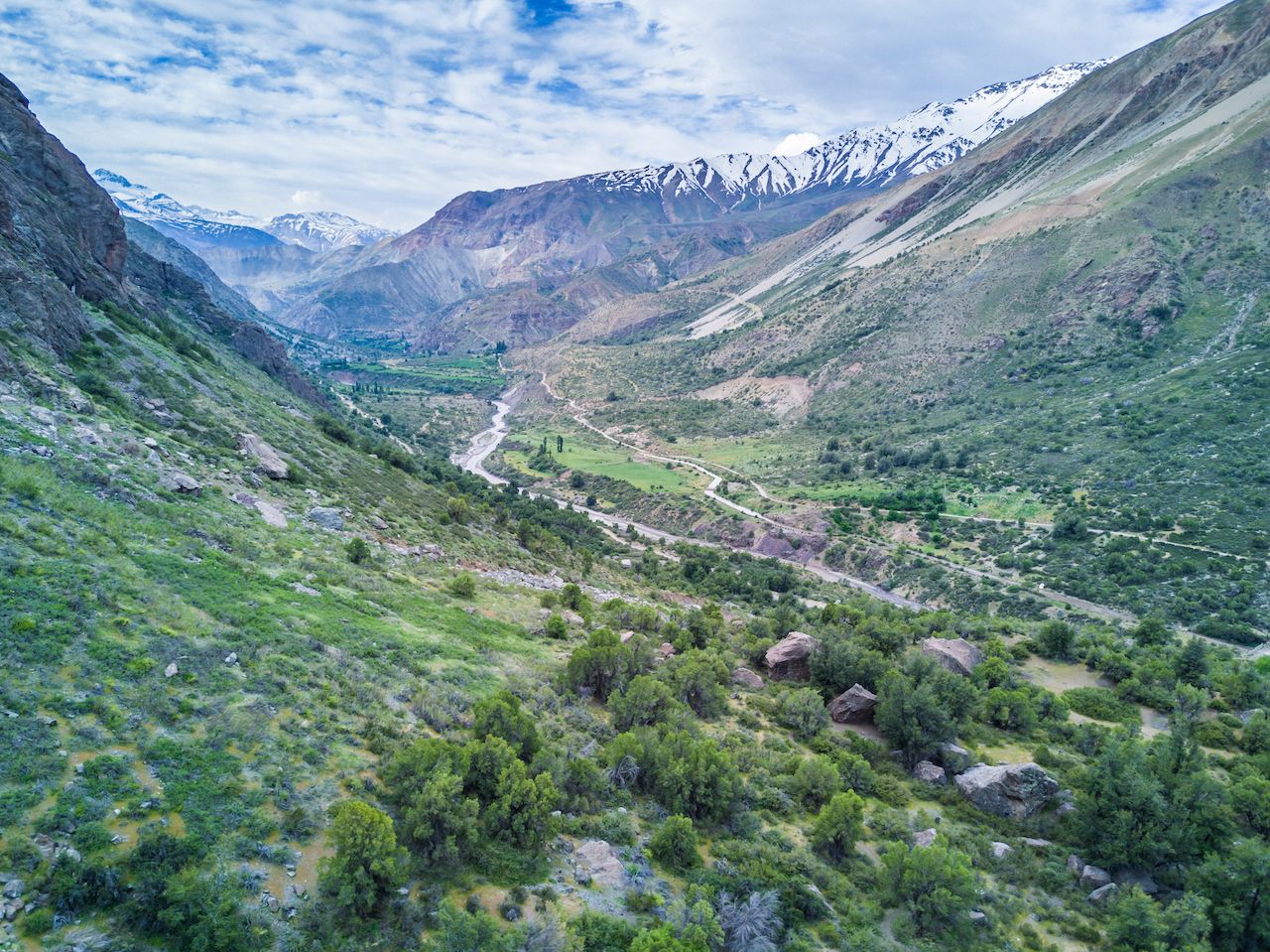
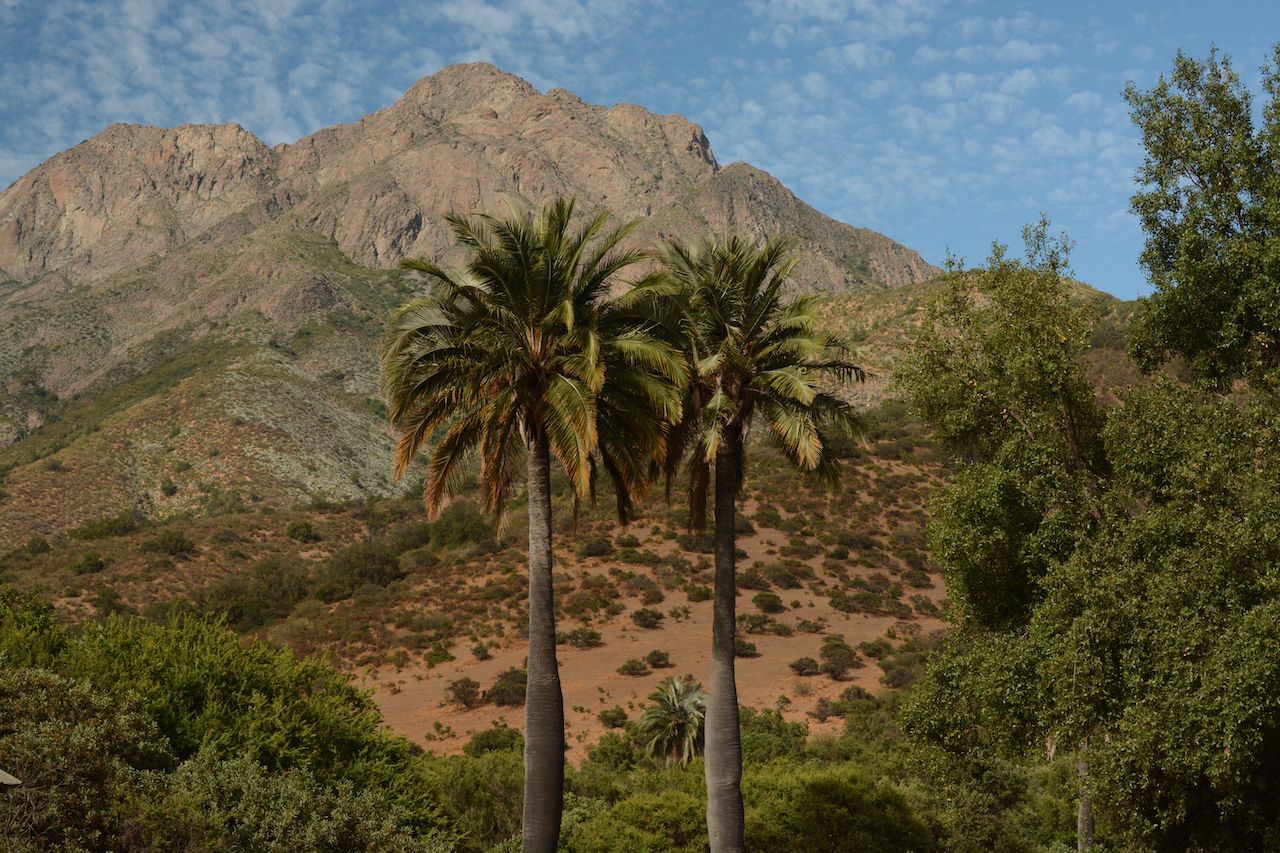
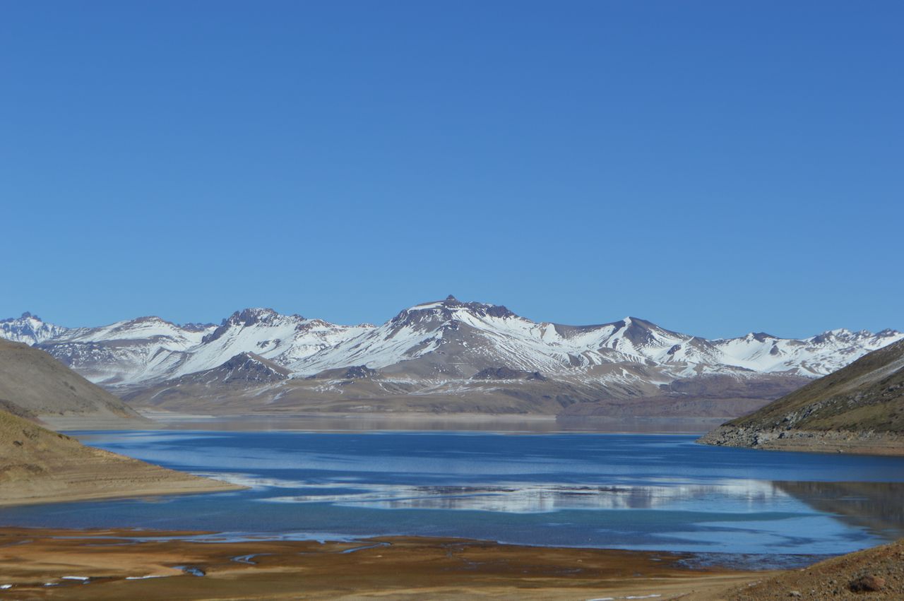
Cutting all the way across Chile — a lanky, 2,650-mile stretch of land — lies the Andes mountain range. As such, Chile is a gold mine of hiking spots. You don’t even need to go down to Patagonia to witness glaciers and volcanoes. Place your finger on a map of Chile, and there’s a good chance you’ll land close to one.

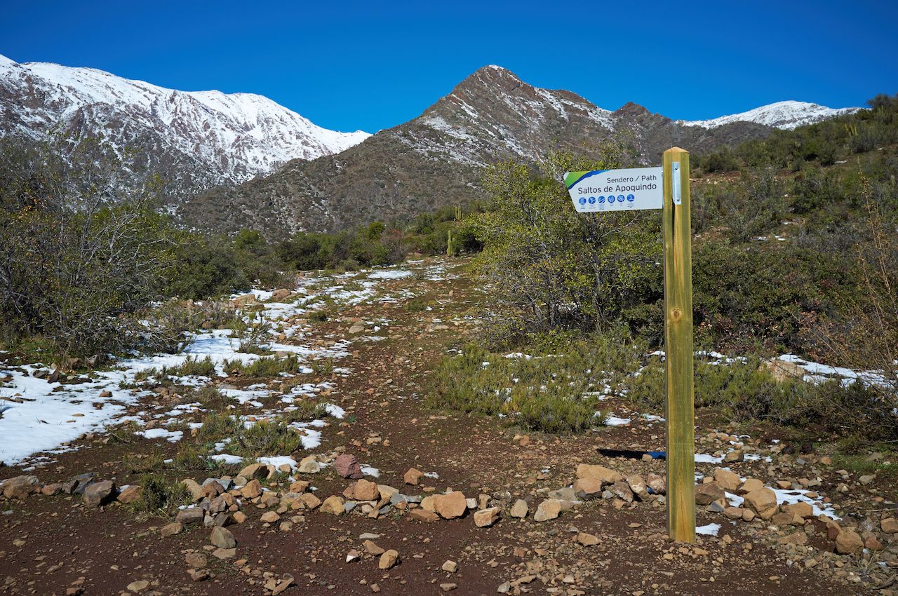
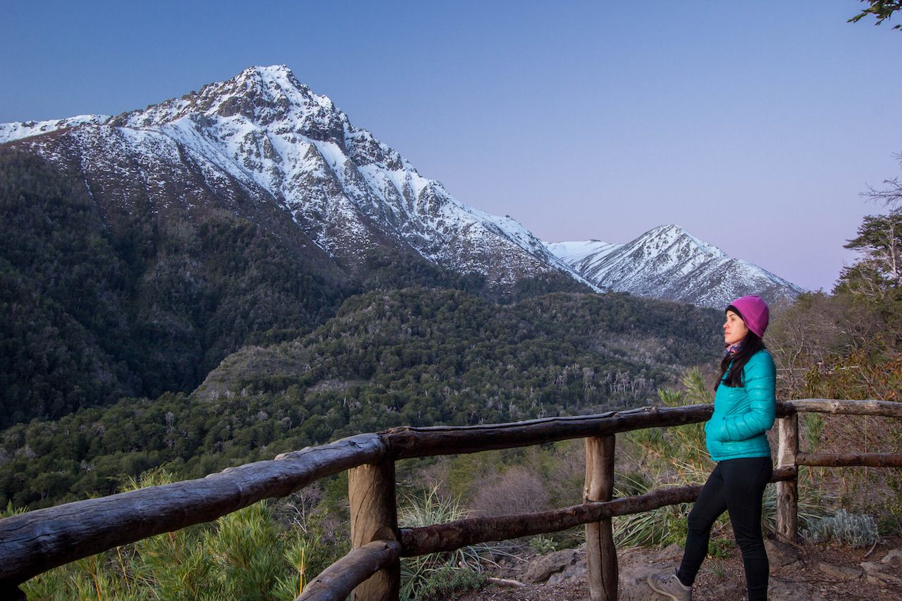
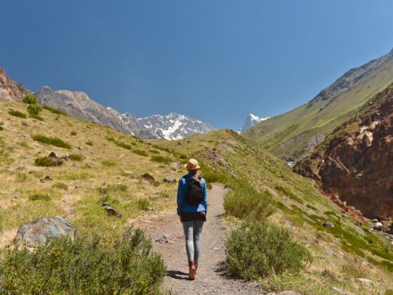
Truth is, a lifetime wouldn’t be enough to discover all of the movie-like sceneries hiding in one of South America’s most biodiverse countries. The good news is you don’t have to travel to the country’s extremes to see some of them. You’ll find plenty of hikes near Santiago that lead to rocky valleys or turquoise waterfalls, and are suitable for whatever type of adventurer you are.

Before you head out hiking

Chile

Photo: abriendomundo/Shutterstock

Remember that winter in the southern hemisphere is from July to September, while summer is hottest from January to late February. Most Chileans take the summer off and, considering that camping and hiking are almost national hobbies, many places will be packed during summer weekends and during the whole month of February.

Regardless of the season, check the weather, as it will help you pick the right type of clothing, while also giving you a heads up for slippery, muddy terrains or heavy wind conditions. Also, note that many areas in Chile can be dry, so only camp, cook, and start fires in designated areas. Also, begin your hikes near Santiago early and follow the paths at all times; the mountains here are steep and wild.

In any season, Chilean weather can range from very hot and dry days to cold nights and rain showers, so dress in layers. Also, wear sunscreen — you can get sunburned here even when it’s cloudy. If you plan on camping, bring a tent capable of resisting strong winds and storms. Though central Chilean weather is easier to handle than it is in the south, a good tent won’t leave you stranded.

While camping sites are elementary, you are likely to find potable freshwater on your hikes. Bring a reusable water bottle as, in any case, water purification tablets are much better than plastic bottles.

Aguas de Ramón Natural Park — Santiago Metropolitan Region

Chile

Photo: JeremyRichards/Shutterstock

Close enough for a day trip and reachable through public transportation, Parque Natural Aguas de Ramón offers hikes near Santiago for hikers of all levels. This ecological reserve provides plenty of activities other than hiking, serving as an environmental information center.

Because it’s a nature sanctuary, there’s a small fee to enter ($4 for adults and $2.75 for seniors and kids), which supports the sanctuary’s activities. Beyond hiking, families and everyone else can tour its ecological facilities or hop on the zip line trail. You can learn about local wildlife by talking to the site’s guides, or ask about the park’s various conservation activities.

To get out and explore, choose from three hiking trails: Canto del Agua, Los Peumos, and Salto de Apoquindo. The first, Canto del Agua, follows the Ramón estuary after which the park is named and serves as an environmental education trail. The other two provide a little more difficulty, roving through hanging bridges, native forests, and viewpoints of both the surrounding valley and Santiago city.

We recommend starting with Los Peumos trail, a route with two alternatives. The north side is greener but also steeper, while the south side is drier but also gentler in terms of walking. Once you reach the end, take a breath sitting next to a small waterfall. If you are up for a full-day excursion, then from the waterfall get ready for the more intense Salto de Apoquindo trail.

The Salto de Apoquindo trail takes you nearly 11 miles uphill, with an elevation gain of over 2,500 feet, crossing the estuary and giving your knees a good workout as you reach higher altitudes. Take a rest on a viewpoint with a birds-eye view of neighboring waterfalls flowing down the adjoining hills. From there on, the trail becomes easier to follow as you reach the Salto de Apoquindo, a 30-meter waterfall to sit next to and admire.

Note that, given the length of time it takes to climb, no entrants are admitted onto the trail after 10:00 AM. Aguas de Ramon Nature Park is open year long, but autumn and the changing leaves are a spectacle to behold. Spring and early summer are perfect for full-day hikes, bear in mind though, they also tend to be the most crowded seasons to visit.

El Morado Glacier — Cajón del Maipo

Chile

Photo: Cristian E Rodriguez/Shutterstock

If you don’t have time to visit southern Chile, you can still do glacier sightseeing at El Morado Glacier without traveling too far away from Santiago. The Cajón del Maipo valley is home to top hiking spots in Central Chile — as its geography features high mountains that reveal the process of glaciation of the Andes.

Although you’ll enter the canyon after an hour’s drive from Santiago, the town of Baño Morales is a two-hour drive. Begin your trail from the registration point near there, at Lagunas Morales, starting with an intense, but not difficult hike to the base of the San Francisco Glacier.

Be sure you have good trekking shoes and are fortified with a hearty breakfast before you go, as this road takes four hours to complete at a normal pace. Here, you will traverse a valley overlooked by perpetual ice formations. After about an hour uphill, take a break sitting next to the Panimavida Waters, a permanent source of reddish-colored mineral water coming from volcanic soil. Its high iron content is the reason for such interesting crimson shades.

From here on, you will reach Laguna Morales, at an altitude of nearly 7,900 feet, where you can see both the Glacier and Cerro San Francisco at their best. Keep going for another hour until you finally reach El Morado lagoon and its surrounding glacier. Here, fossilized fauna dating back over 150 million years has been found.

Note that public transportation can only take you so far up the valley. Hitchhiking is an option in the high season, but minibuses, tours, and car rentals are available year-round. Though camping isn’t available in the area, the nearby Baños Morales hot springs do have space to spend the night. Take advantage of it and enjoy a relaxing bath after such a long walk. Be sure to wake up early the next morning though, as the view of the sunrise over surrounding hills is definitely worth it.

Radal Siete Tazas National Reserve — Curicó Province

Chile

Photo: Michal Knitl/Shutterstock

In Spanish, Siete Tazas means Seven Cups. The name comes from its cup-like natural rock formations, filled with water melting from the peaks of the Andes. The six main trails at Reserva Nacional Radal Siete Tazas vary in distance, from one-fifth of a mile to nine miles, offering something for every fitness level. Get ready to jump from canyons onto the cold waters of the Río Claro, and stare at spectacular viewpoints overlooking the Andes.

Stock up in the small town of Molina and take a bus leaving from its terminal, which will drop you off at the entrance of the park in Radal. From there onwards, hitchhiking is an easy option to go up to Parque Inglés, where the most interesting trails begin.

On the way there, be sure to stop at any of the cup formations for photo opportunities. If you want to take a swim under a cascade, head to the Salto La Leona, an 80-foot waterfall one ending on an icy pool of crystalline water and dark, basalt rock bottoms.

Here you’ll find two types of camping sites: the more popular, family-oriented ones, or those meant for explorers. Los Chiquillanes, El Bolsón, and Valle del Indio trails will provide the latter. If your idea is to fully connect with the place, these less-visited trails are perfect — where you’ll walk in the shadows of volcanoes, traverse oak forests, and dive into translucent pools of snowmelt.

Set up your tent in the right spot, and you’ll wake up to spectacularly clear views of steep-sided mountains and sheer bluff faces, such as El Colmillo del Diablo (The Devil’s Fang), one of the most iconic views the park offers.

If you have the time and energy, take the Cóndores circuit, a 43-mile trek connecting Siete Tazas National Park with the neighboring Altos de Lircay National Reserve. The view of condors flying over giant volcanoes while you trek empty paths filled with lagoons, hot springs, and waterfalls you can bathe in make the trek very memorable.

La Campana National Park — Valparaíso Region

Chile

Photo: Gilbert S. Grant/Shutterstock

When Charles Darwin visited Chile in the 1830s, he made it to the top of the peak for which the park is named. Get a feeling of what he experienced contemplating local fauna and flora, composed by one of the last Chilean palm tree forests in the world. Consider yourself lucky if you can spot the elusive culpeo foxes and the skunk-like quiques.

Located an hour and a half away from both Santiago and Valparaíso, Parque Nacional La Campana is the only area on the list taking you through Chile’s coastal mountain range. Arrive early in the morning to follow in Darwin’s footsteps. La Campana’s summit will gift you with a unique view of both the Andes and the Pacific Ocean. If not, don’t worry, the park’s various other trails fit hikers of all levels.

Camping isn’t allowed here, but public transportation will take you in and out. Coming from Valparaíso or Viña del Mar, you can take the subway straight to Limache station, at the end of the line. From Santiago, take a bus to Limache and then Olmué, where another bus will drive you to La Campana.

Altos de Lircay National Reserve — Maule Region

Chile

Photo: mochilaosabatico/Shutterstock

Home to rare animals such as the pale green Tricahue parrot, Reserva Nacional Altos de Lircay is a great spot to view wildlife. Here, the Claro river — the same one filling up the “tazas” at Radal Siete Tazas — flows north to south. Once it encounters the various mountains and volcanoes comprising the terrain, a variety of waterfalls form. As you roam its various trails, don’t forget to look up as well. Condors and eagles will be soaring overhead.

Disconnect from the outside world by taking the 3-4 day trek through the Venado Valley. While it’s open year-round, the oak trees lining the valley turn red in May, making it a sight you won’t soon forget. If this trail seems like too much, pick one of the simpler paths, such as Piedra de Los Platos, an archaeological area purported to be the site of UFO sightings.

Or opt for the Enladrillado Trail; enladrillado means “bricked,” as the path resembles a brick lane. The trail takes you to a viewpoint where you can look upon the Descabezado Grande volcano, the Cerro Azul, and the Venado Valley, all at once. You can reach it on an intense seven-hour day trip, or you can spend the night at the local camping grounds — reachable through a smooth slope road surrounded by a forest, marking the first lap of the trail.

From there on, the path follows the Lircay up to a high mountain range. As you walk along, stock up on fresh water flowing through any of the creeks you’ll encounter, and stay attentive to woodpecker birds. With such moonlike sceneries surrounding you, you’ll be tempted to believe the local legends claiming this used to be a landing area for visitors from outer space.

Cascada Arcoiris, Maule Region

Chile

Photo: Claudio Arriagada Verdugo/Shutterstock

The farthest place to find hikes near Santiago is here, a good five hours away. First, it’s a three-hour drive south to the city of Talca and then two hours east to the Cascada Arcoiris trail. It’s worth it, as if you time it right, you may see a waterfall flowing upward.

No, it’s not a lack of gravity nor the works of the last Airbender that causes this amazing phenomenon; it’s the intensity of the wind. The various waterfalls in the area are the reason indigenous Mapuche people named the region “Maule,” which means “rain river.” None of them actually flows upwards, but if you visit between September and May, the wind is usually strong enough to make it seem so.

To get here, take a bus from Talca in the direction of Paso Pehuenche, Argentina, and get off at the Cascada Arcoiris. Once there, the trail leading to the waterfall is short and of medium difficulty. Wear hiking shoes with a good grip, as the road is slippery and the wind currents could lead to accidents. Try to stay focused on the trail, since the valley’s landscape will be quite distracting. It is such prehistoric-looking scenery, you can definitely imagine a pterodactyl flying over it.

Take full advantage of the trip and check out the nearby Laguna del Maule, part of a rare volcanic complex. Its shades of green and blue intensify the surrounding reddish, volcanic soil. Here, camping sites are available, giving you more time to explore nearby hot springs and sleep under one of the clearest skies you will ever see.

Discover Matador