WHEN I think of my home country of France, and Western Europe in general, I think of very urbanized areas of the world where most of the wilderness has been replaced by concrete — I am wrong. According to 2012-2013 data from the VIIRS sensor aboard the NASA/NOAA Suomi NPP satellite, our planet (and the corner of the world I call home) is a lot greener than expected. The satellite measured global vegetation and the result is fascinating. The dark green areas are the heaviest in vegetation, while the pale-colored zones are “sparse in vegetation either due to snow, drought, rock, or urban areas”, explains NOAA. The data collected over the course of one year can help forecast droughts, notice deforestation, and explain climate changes.
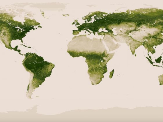
Map: NOAA/NASA
This Is How Green Our Planet Really Is
For more on the data collecting method and the analysis of their findings, watch the NOAA video here. ![]()
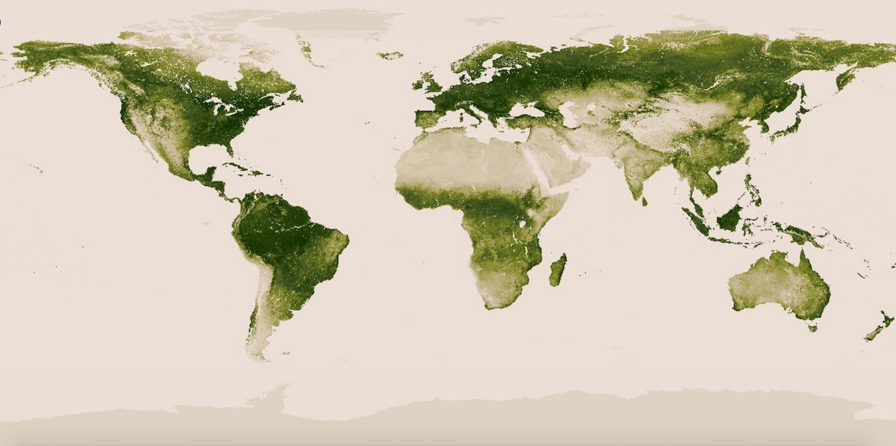
Map: NOAA/NASA