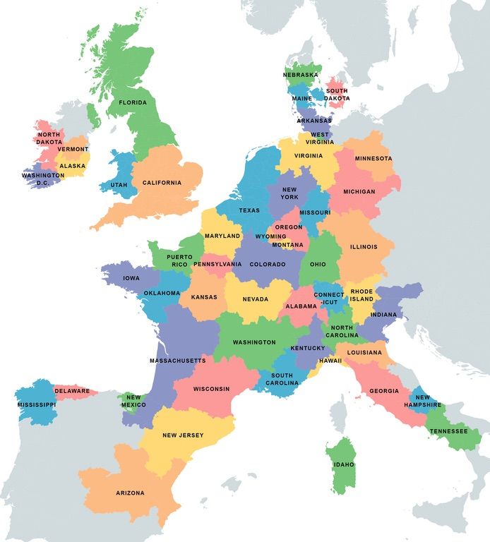
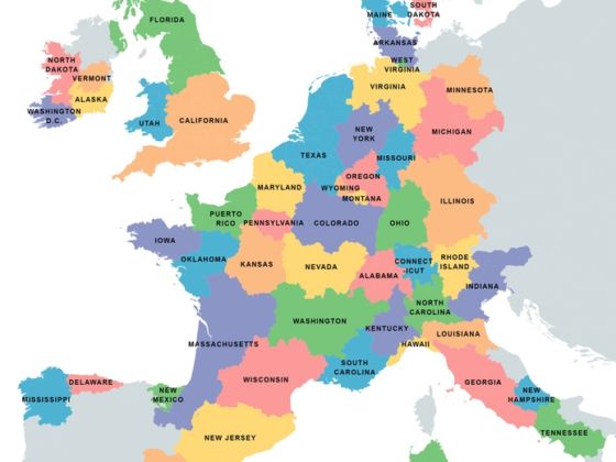
REDDIT USER Speech500 already tried to make it easier for us to visually compare the populations of Europe and the Americas by overlaying countries of Europe on areas of the Americas with equal population, but this time, he reversed it and overlaid US states on areas of Europe with equal population.

Map: Speech500
Who would have thought that the population of four whole US states (North Dakota, Vermont, Alaska, and Washington DC) would fit in most the Republic of Ireland, or that the population of Texas would entirely cover Belgium and the Netherlands?
