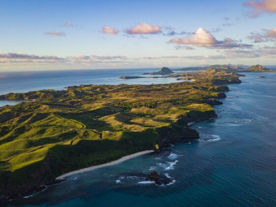
ALL OF MY TRAVELS have been informed by the search for water, or as those in my crew often call it, “flow.” Whether it’s looking for solid wave conditions which leads us to difficult-to-reach stretches of Pacific coastline in Central America, or working as raft guides or safety kayakers in Patagonia just so we could spend more time on the river — there is something about being on the water that feels surreal.
Part of it is simply the view. Growing up paddling in Georgia, it always amazed me how just being in a boat looking up at the riverbanks and inevitable bridge-crossings (as opposed to sitting in a car on the bridge in traffic), gave you an entirely different perspective on the world.
It’s in this spirit that I’ve collected the following places you have to see by water. The majority of them are strict in the sense that you can’t really even access them except by boat. Those that still have some kind of overland access (like the Middle Fork of the Salmon) are included because seeing them via water is really the only way to do it in style. Stay safe out there.
Rio Pacuare, Costa Rica
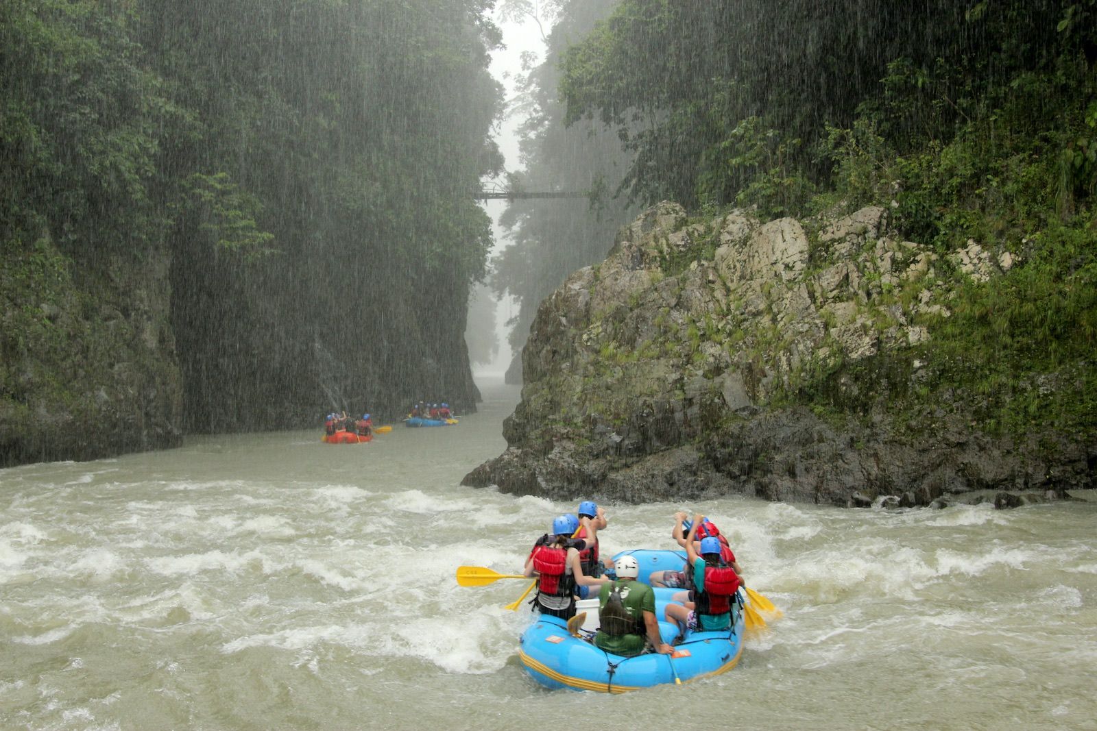
Photo: Shutterstock/Fabienne Kunz
I kayaked the Pacuare in the early 2000s, when it was threatened by a proposed hydroelectric project. In the years since, the river is apparently safe again from development, however one never knows when new proposals will appear.As river canyons exemplify the notion of “out of sight, out of mind,” they’re particularly vulnerable to environmental legislation / energy policies that can count on little public opposition. Only those few indigenous people which live nearby and rely on the clean, free-flowing river for their survival, and/or those in the travel industry who help develop new local economies in the region, really even ever see these places and care about them. With its warm water and large, fun, but not particularly consequential rapids, the Pacuare is a classic whitewater rafting trip and the only way to access these otherwise nearly impenetrable sections of cloudforest.
Te Whanganui-A-Hei Marine Reserve, North Island, New Zealand
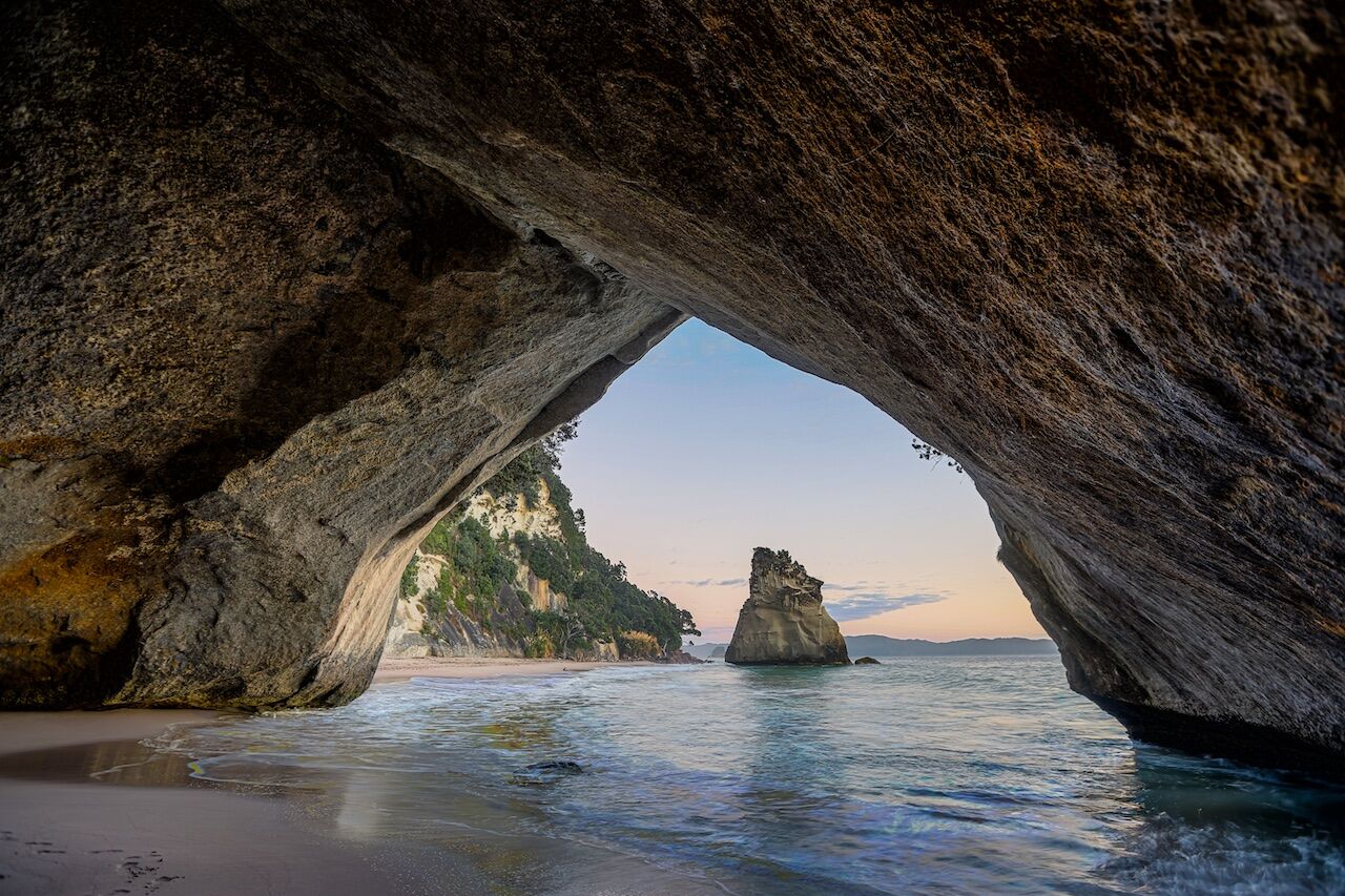
Photo: JC Antunes/Shutterstock
Te Whanganui-A-Hei Marine Reserve (also known as Catherdral Cove) is named after a large sea cave which connects Mare’s Leg Cove to Cathedral Cove. The reserve also includes Gemstone Bay and Stingray Bay. Although walking trails exist from the northern end of Hahei Beach and atop the headhead between Hahei and Gemstone Bay, the only way to really explore the area is by sea kayak.
Middle Fork of the Salmon River, Idaho
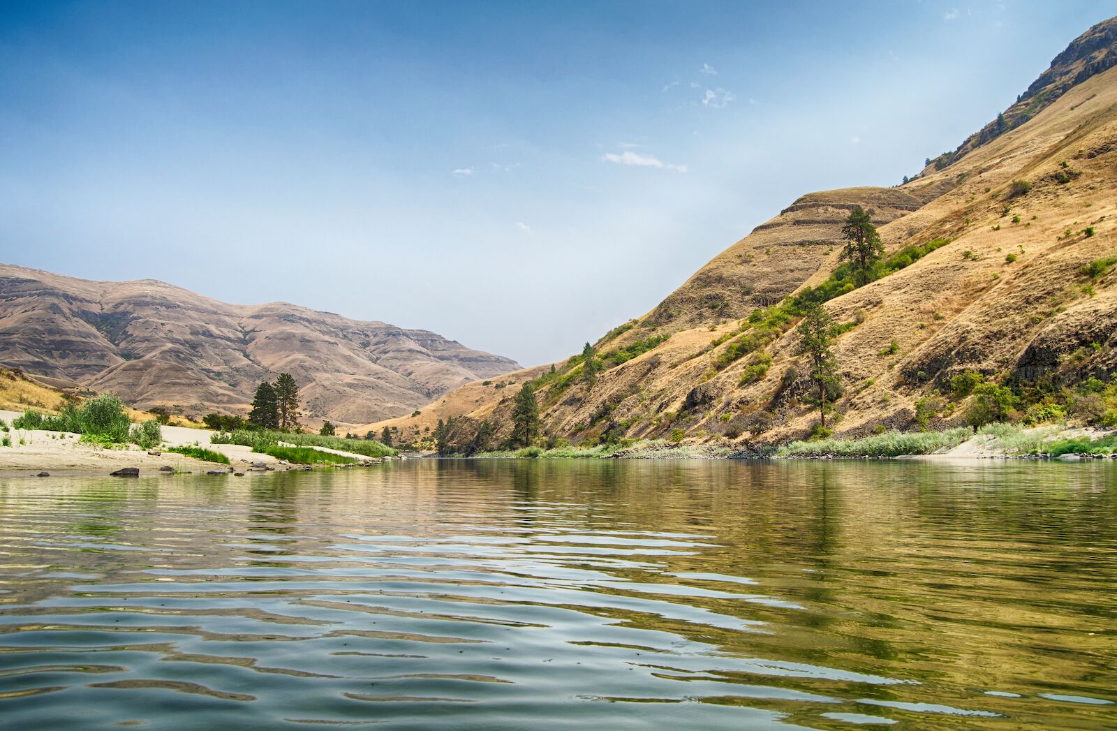
Photo: Jim Black/Shutterstock
The Middle Fork of the Salmon River is one of the classic whitewater float trips in the US and crosses the largest roadless wilderness area in the lower 48. The run is over 100 miles, usually split over 5 days, and drops through deep canyons with over 100 rapids, 60 of which are Class III to Class IV in the first days. Especially notable are the numerous natural hot springs along the riverbanks.
Charles Darwin Station, Santa Cruz Island, Galápagos
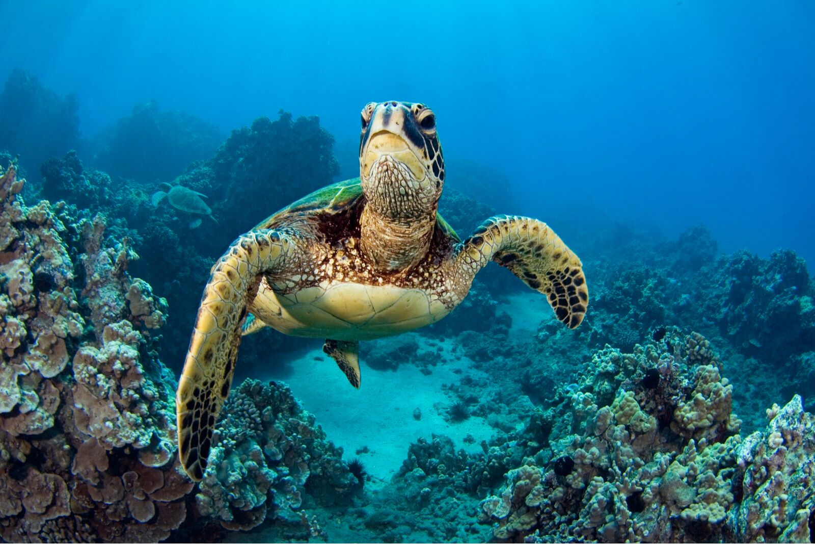
Photo: Laverne Nash/Shutterstock
Magellenic Penguins in the Galápagos. Santa Cruz has the largest town in the archipelago, Puerto Ayora, where the Charles Darwin Research Station and the headquarters of the Galápagos National Park Service are located.
Kluane National Park and Reserve, Yukon Territory
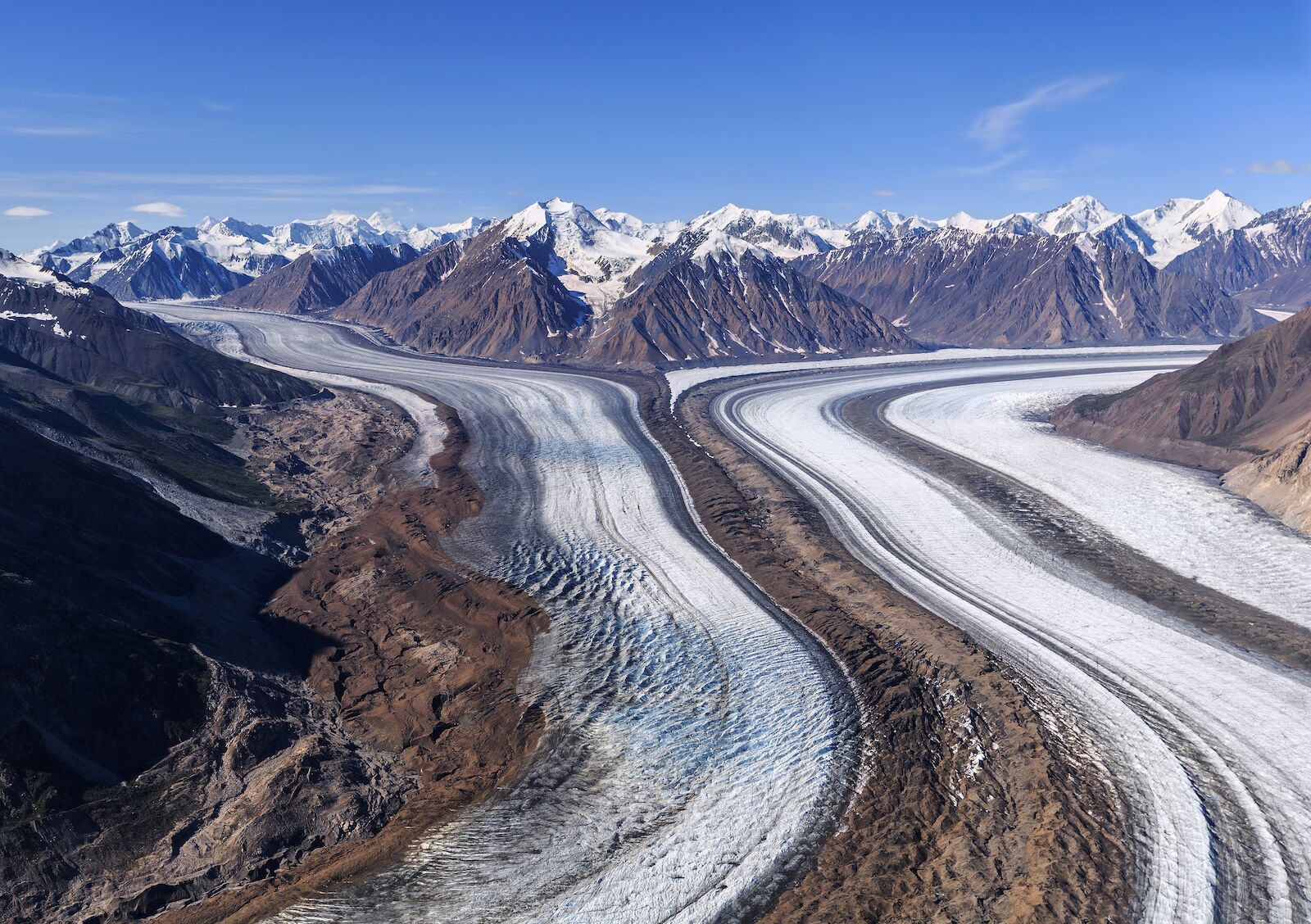
Photo: sunsinger/Shutterstock
The largest contiguous protected area on earth is found in the Yukon, where the Kluane National Park and Reserve and the Tatshenshini-Alsek Provincial Wilderness Park meet Glacier Bay and Wrangell-St. Elias National Parks. Traversing this area is accomplished through a multiday float trip down the Alsek River. The journey includes massive canyons, dense forests, and calving icebergs.
Baja, Mexico
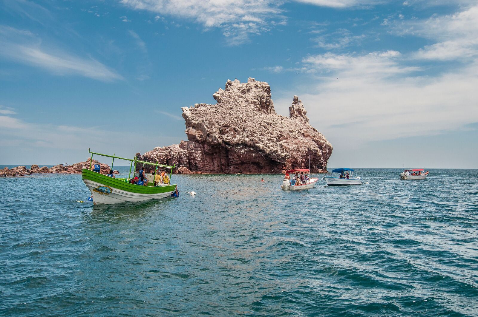
Photo: VG Foto/Shutterstock
While much of Baja is reachable by vehicle (an important exception is the Sea of Cortez and a few Pacific islands such as Todos Santos), perhaps no other peninsula makes being in the water so compelling. Whether you’re surfing hollow beach breaks and points, fishing for yellow-tail, diving off Los Cabos, sailing, or just swimming with mask and fins, watching lobster scuttle along sandy beach bottoms, you can’t really “get” Baja without being in the water.
Torrecillas glacier, Chubut, Argentina
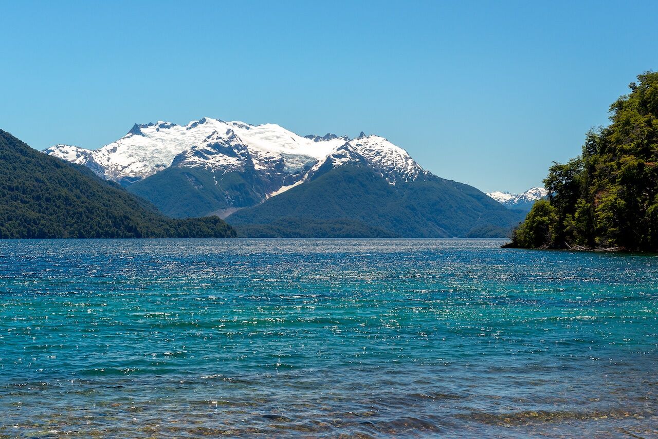
Photo: Alberto Loyo/Shutterstock
Although an overland approach is theoretically possible, the Torrecillas glacier, like much of the Andean backcountry, is really only accessible via paddle-in across lakes and rivers. To reach Torrecillas, you have to cross Lago Verde to Puerto Mermoud, then trek up to Puerto Chucao. Once in Puerto Chucao, you navigate through the east branch of Lago Menéndez.
Panama Canal
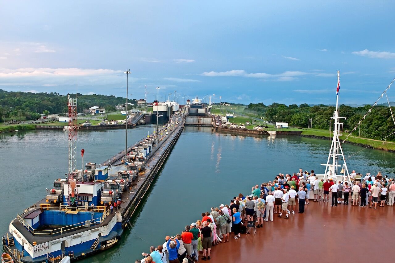
Photo: B. Franklin/Shutterstock
After nearly 100 years, the Panama Canal remains one of the world’s singular engineering feats. While the passage itself is iconic, what’s lesser known is the incredible diversity of wildlife and culture in the lands bordering the waterway, most notably the Darien Jungle, home to the indigenous Embera people, whose traditional lifestyles have remained unchanged for 600 years. There are numerous access points for kayaking and snorkeling the beaches of the Pearl Islands, as well as wildlife observation at Gatun Lake and the Chagres River.
Lake Taupo Maori carvings, New Zealand
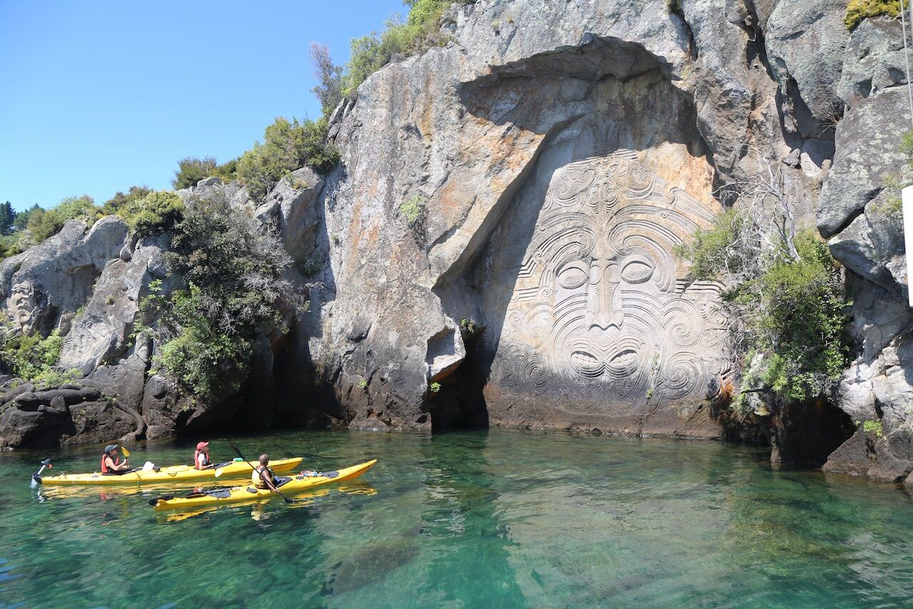
Photo: Leonard Zhukovsky/Shutterstock
Lake Taupo is the largest lake in New Zealand and site of multiple outdoor adventures, including a yearly cycling race around the 193-kilometer perimeter of the lake. On the northwest side of the lake, along the cliffs of Mine Bay, are Māori rock carvings accessible only by boat.
Bosphorus, Istanbul
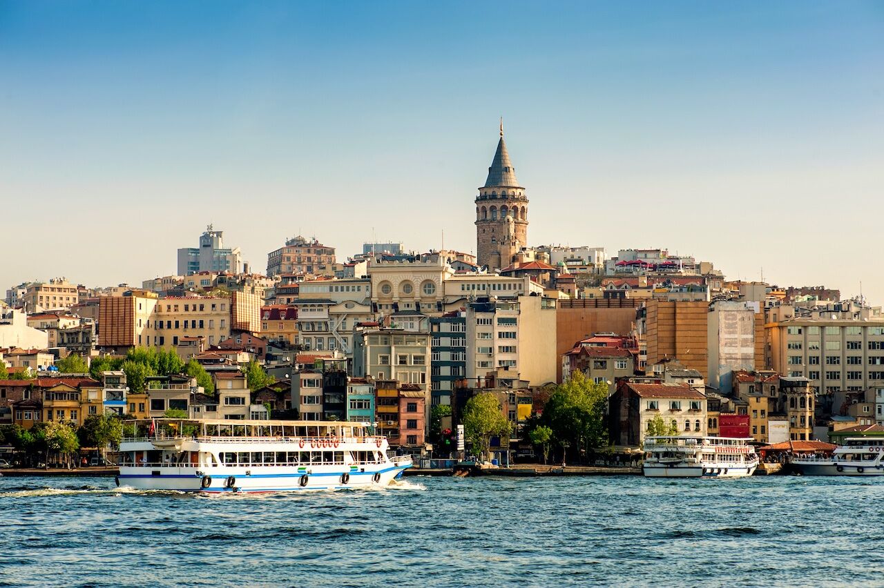
Photo: Tania Zbrodko/Shutterstock
The view is always different from the water: The Straight of Bosphorus, the world’s narrowest strait used for international navigation, is a channel separating Europe from Asia less than 3,000 meters wide at its narrowest point. Ferryboats and cruises pass by ornate Ottoman palaces, such as the 16th-century Rustem Pasha Complex. Istanbul straddles both sides of the strait.
San Cristóbal Island, Galápagos
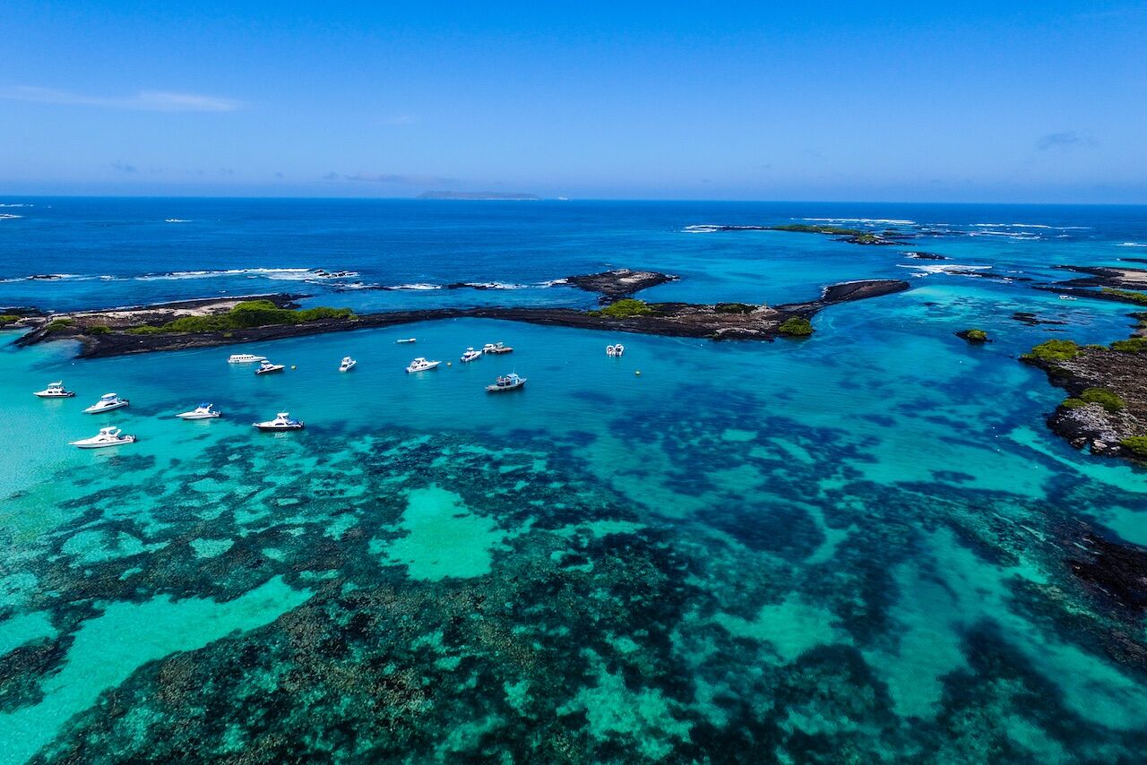
Photo: Ppito00/Shutterstock
San Cristóbal is the fly-in spot for the Galápagos, but once you’re there, you need to get wet to really see everything. A combination of sea kayaking, snorkeling, and beachcombing is best from Cerro Brujo — home to blue footed boobies, brown pelicans, marine iguanas, sally lightfoot crabs, sea turtles, sea lions, and rays — to Kicker Rock.
Darién Gap, Panama
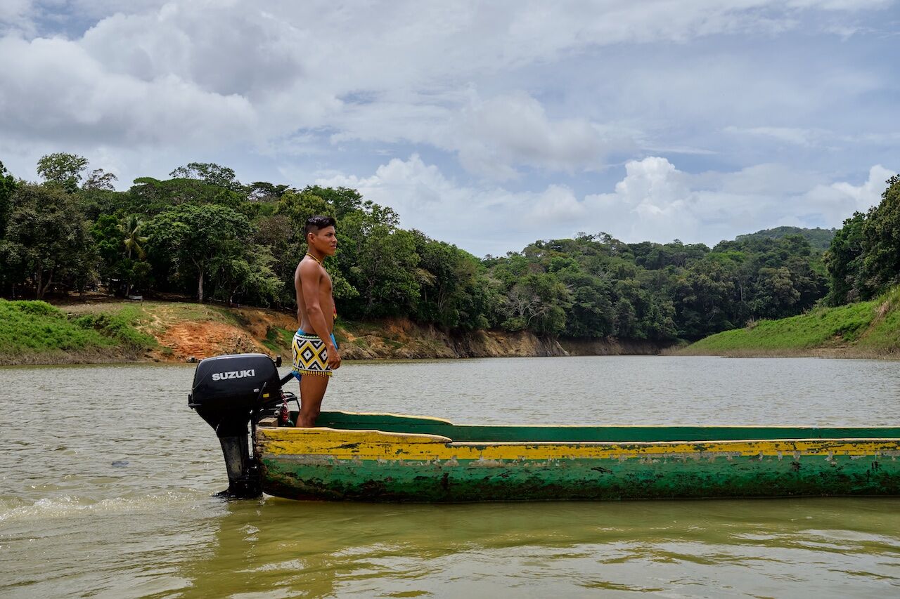
Photo: PartyRaiser/Shutterstock
Bordering the province to the east is the area of Colombia known as the Darién Gap, which is the only roadless swath in the Pan American Highway (interconnected system of roads from Alaska to the tip of South America). Although a few overland traverses of the Darién have been accomplished, the overwhelming majority of travelers take ferries around the dense swampland and jungle. The Embera people use the river systems as their transport as well, building villages along the banks throughout the Chucunaque/Tuira/Balsas River watersheds.
Victoria Island, Nahuel Huapi, Patagonia
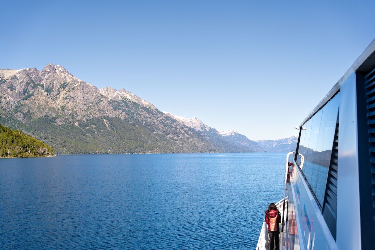
Photo: Jose de Jesus Churion /Shutterstock
Perhaps the most iconic element of Northern Patagonia is the almost unreal translucence of its lakes and rivers. Nahuel Huapi, which surrounds Bariloche, Argentina, is the largest and deepest clear-water lake in the Lake District. It has a natural reserve, Victoria Island, approachable by boat. One notable element of Nahuel Huapi is the wind. On several occasions I’ve seen winds strong enough to produce surfable waves.
Svalbard Archipelago, Norway
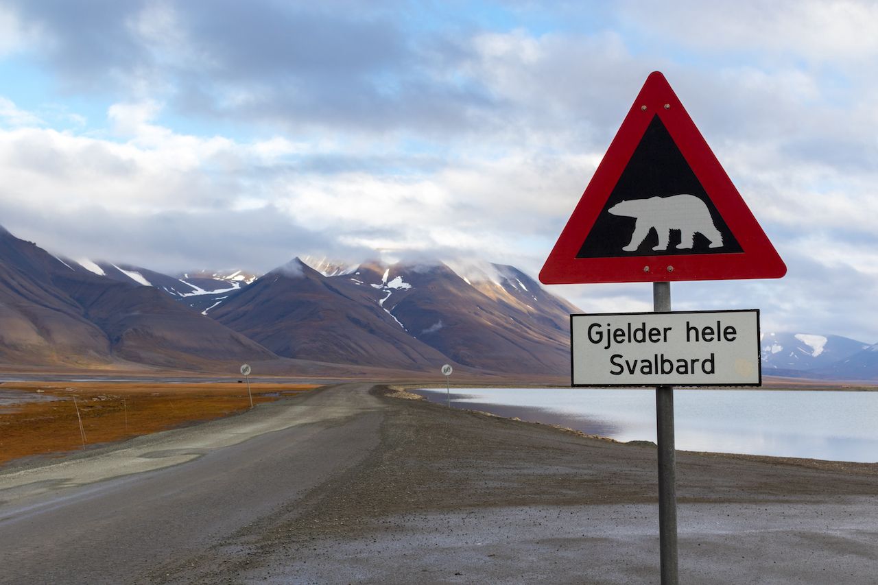
Photo: Kaca Skokanova/Shutterstock
Svalbard is home to abundant wildlife including polar bears, beluga whales, walrus, reindeer, Arctic fox, and a huge array of avian fauna. The only way to navigate the area is via ice-strengthened polar expedition ships.
Antarctica
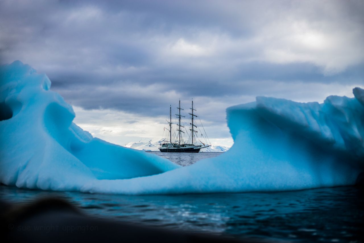
Photo: Susan Helen Wright/Shutterstock
Highly navigable icebreaker vessels allow access to the fjords and passages of Antarctica, while Zodiacs and kayaks enable closeup wildlife viewing during the austral summer, breeding season for penguins, sea birds, seals, and whales.
Chichagof Island, Alaska
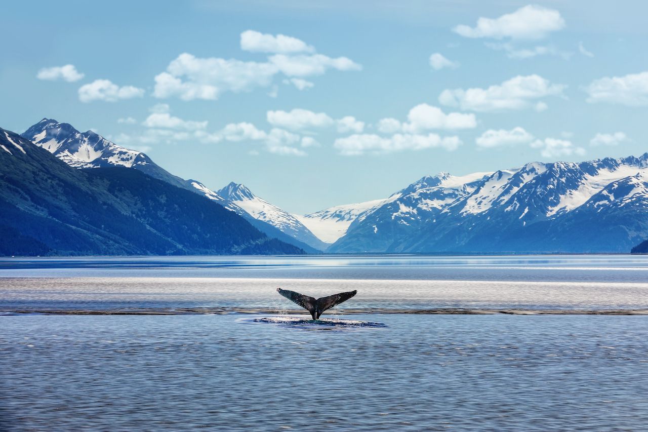
Photo: Martina Birnbaum/Shutterstock
Chichagof Island lies in the Alexander Archipelago of the Alaska Panhandle. The entire coastline (over 700 miles) and nearby landmasses and connecting waterways — Baranof Island, Peril Strait, Chatham Strait, Icy Strait, Cross Sound, and the Gulf of Alaska — are only really accessible for exploration by boat. The area is notable for the its marine wildlife, including humpback whales, sea lions, otters, and seals.
Yasawa archipelago, Fiji
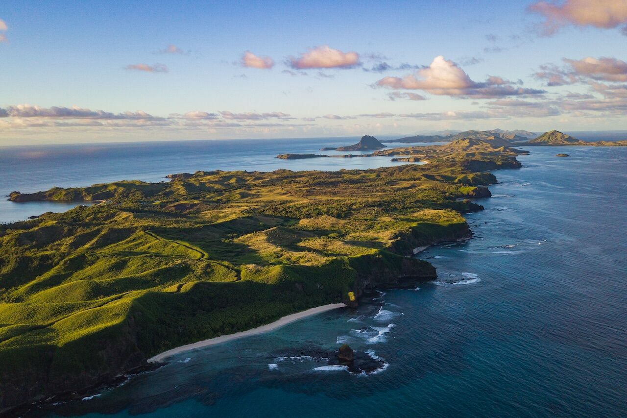
Photo: Ignacio Moya Coronado/Shutterstock
Part of Fiji, the Yasawa archipelago has had very little tourism, and up until 2004 there was still not a single motorised vehicle on the largest island (Tavewa), which means that travelers to this part of the world a) get around by boat (sea kayak is best), and b) can still get a view into authentic Polynesian culture.
Alsek Bay
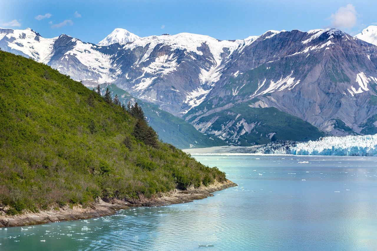
Photo: Ruben M Ramos/Shutterstock
The Tatshenshini River flows over 100 miles from Dalton Post, in the Yukon Territory, rolling towards Alsek Bay, where giant chunks of ice calve into the water from the seven-mile-wide face of the Alsek Glacier.
Amazon Basin
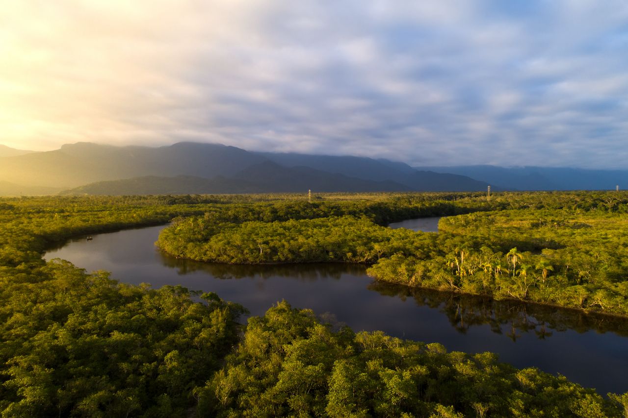
Photo: Gustavo Frazao/Shutterstock
After descending the Napo River, a large tributary of the Amazon, a boat crosses Lake Pilchicocha to the Sacha Lodge, a 5,000-acre private ecological reserve.
Tortuguero National Park, Costa Rica
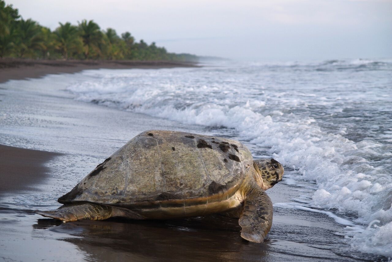
Photo: Jarno Gonzalez Zarraonandia/Shutterstock
Along the Caribbean coast of Costa Rica (Province of Limon), Tortuguero National Park can only be explored by boat. Tortuguero is home to 11 different habitats, including rainforest, palm forest, mangroves, swamps, beaches, and lagoons, and has incredibly diverse wildlife.
Arctic National Wildlife Refuge, Alaska
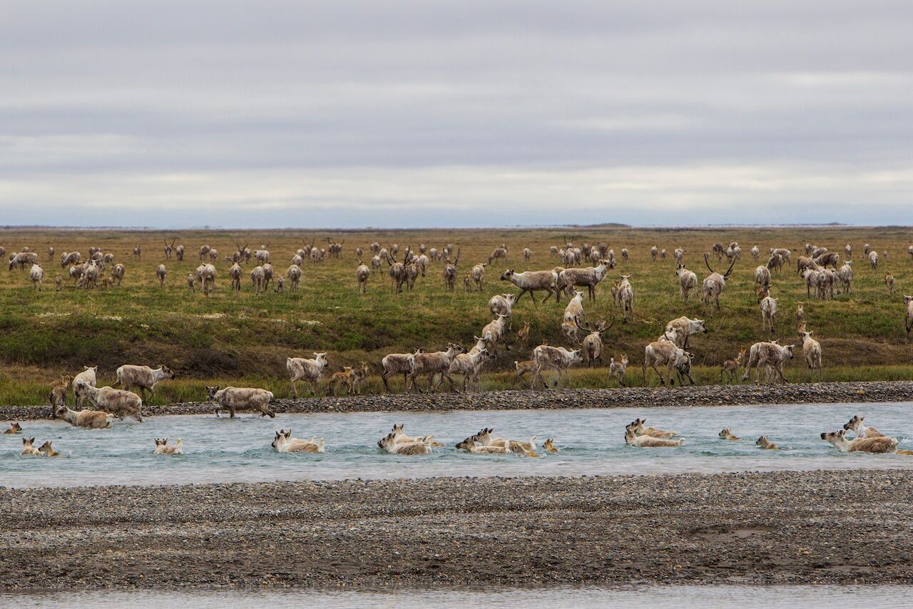
Photo: Danita Delimont/Shutterstock
Unless you’re flying overhead via bush plane, the only real way to traverse the Arctic National Wildlife Refuge is floating the Kongakut River in the Brooks Range. Eventually reaching the Arctic coastal plain, the river passes through some of the wildest valleys on Earth, where hundreds of square miles of pristine habitat exists for grizzlies, Dall sheep, wolves, and Porcupine caribou. In the summertime there is nearly continuous daylight.

