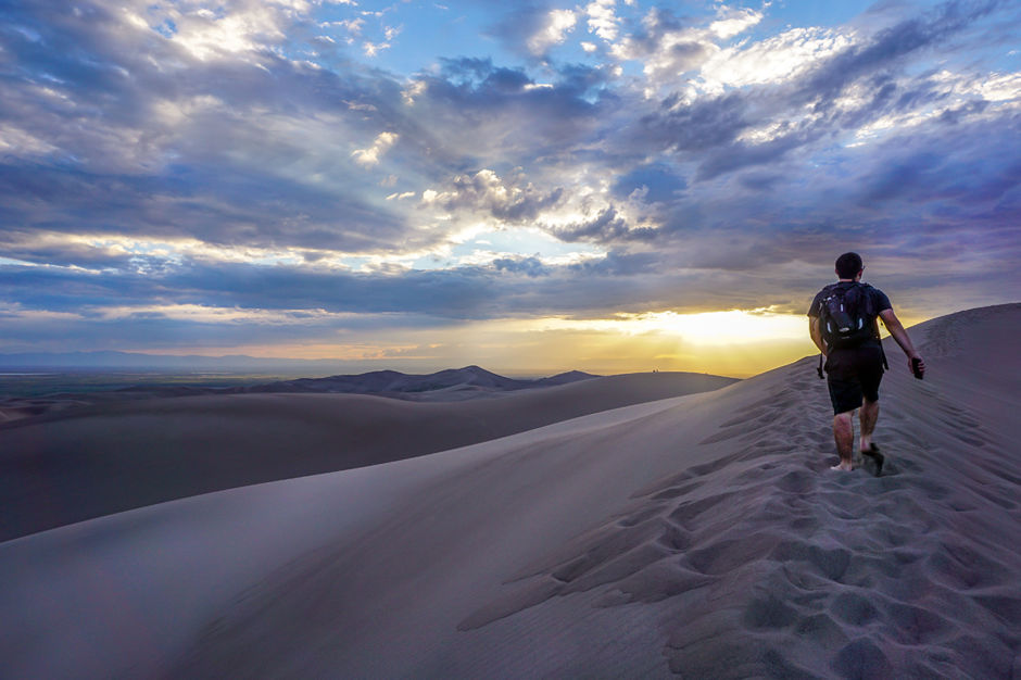
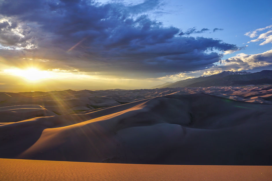
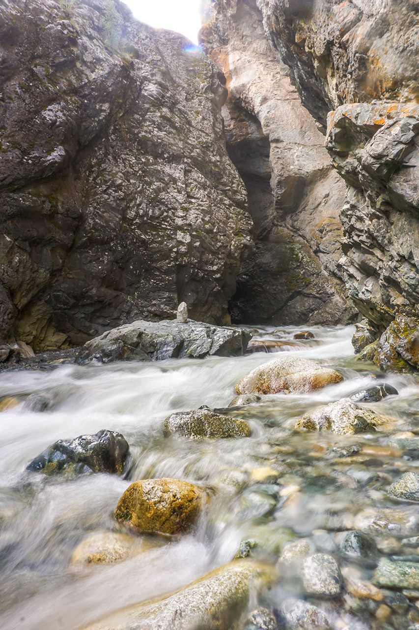
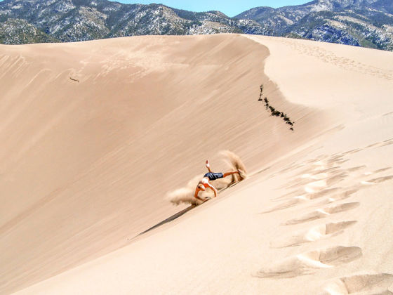
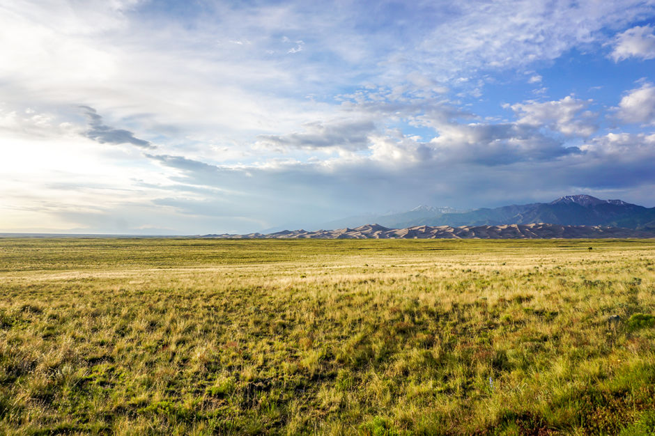
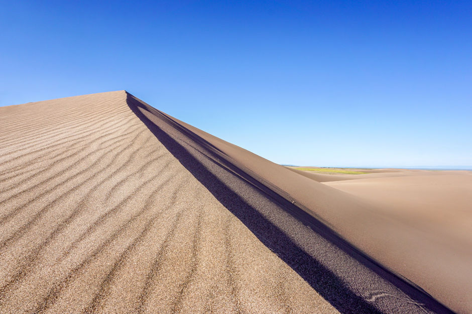
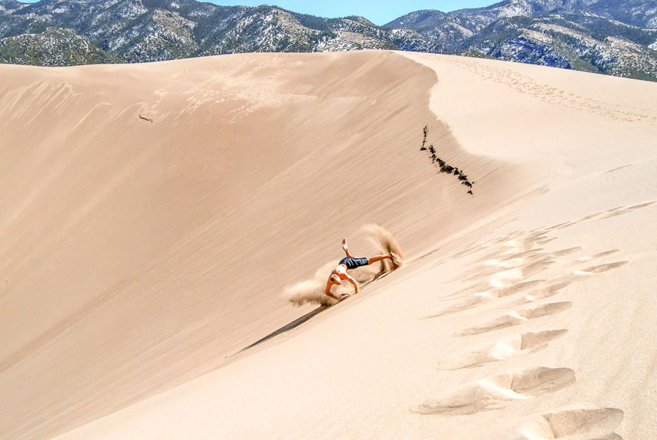
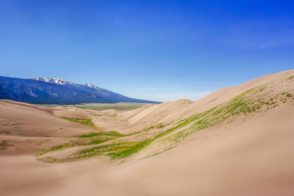
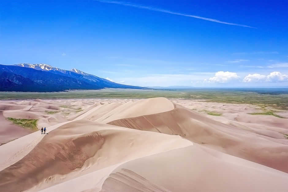
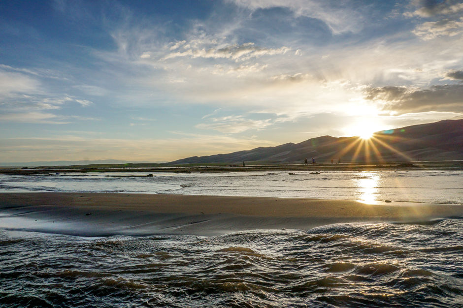
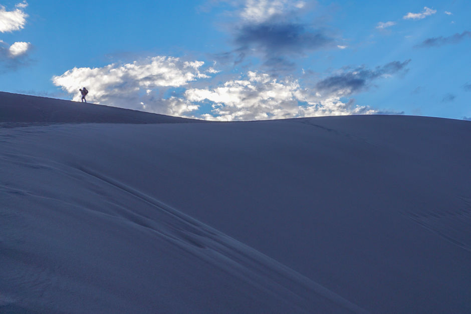
SINCE COLORADO is a landlocked state, you wouldn’t suspect it would be home to the tallest sand dunes in North America. But in the south part of the state, nestled against the western slopes of the Sangre de Cristo range, sits the 230-square mile Great Sand Dunes National Park and Preserve. The park boasts a variety of unique ecosystems from a desert valley to the seasonally surging Medano Creek. Early spring is a perfect time to spend a weekend in the dunes —the sand can reach very high temperatures in the warmer months. My hiking friends and I ended up with sand in every crevice, but with an experience like none other in one of the most unique National Parks.

1

Great Sand Dunes National Park is another piece of the patchwork which makes up the incredibly diverse Colorado landscape. As my buddies and I make our way along a weathered road that both gravel and plants are beginning to cover, the distant dunes slowly begin to emerge from the parched landscape defining them.

2

With square miles of dune fields and no designated trails, the sand provides an endless arena of exploration. Although the weather is often welcoming, the sand can reach up to 150°F and threatening thunderstorms can quickly move in during the day. It’s recommended to hike in the early morning or evening, come prepared with water and snacks. If you’re traveling with a pupper companion, remember to cover their paws with booties.

3

The park provides a plethora of activities, from hiking to hunting to splashing. The dunes are for playing just as much as viewing, and many visitors take the challenge of their steepness by hiking atop sand that sinks beneath your feet, sandboarding along the sheer faces, running and jumping down with larger leaps than you imagined you could have, or aggressively and explosively rolling.

4

We decide to make our way toward Star Dune, which sits around 750 feet tall and is the tallest sand dune in North America. The average round-trip hiking time is about five hours, so we pack our bags and start off in the cool early morning. High Dune might look the tallest from the parking lot, but Star Dune is the tallest from base to crest.

5

My friends, Heather and Stefano make their way down from Star Dune as the sun slowly inches above us. Wary of the time we took with views leaving us awestruck, we decide to cut toward Medano Creek in efforts to keep our feet cool before the sand reaches its peak temperature.

6

The park is home to Medano Creek, which seasonally flows along the base of the dunes. In late April, the creek first starts to trickle as snow from the Sangre de Cristo begins to melt. The flow will peak around late May and early June. During this time, visitors can experience surge flow, where “waves” are created from large chunks of sand falling into the water upstream. Due to the popularity of Medano Creek, times of its peak flow are often the National Park’s busiest days.

7

A group of backpackers trek back home for the night as we clamber up to High Dune for the sunset. With nothing around you but towering sand to muffle the sounds of other visitors and the stars sprinkling the night sky with a backdrop of rolling dunes, the unique experience of backpacking in the sand dunes is chosen by many. Backcountry permits are free but required, and there are no campfires allowed within the dunes.

8

This is my friend Adam making his way along the ridgeline toward High Dune. The dunes provide an incredible backdrop both during the day and in the evening. The sky paints our chosen path a gentle purple as the sand cools beneath our feet from the heat of the day.

9

We’re greeted at the top of High Dune with a light that illuminates the clouds above and gently brushes the tops of the lower dunes around us. We bury ourselves in the sand as the temperature give us chills, and silently watch the indescribable view.

10

As we make our way back toward camp, we take a final look as the last light sinks below the ridgeline. How lucky we are to live in such an incredible state.

11

We take our time back to camp, stopping along the creek to stargaze and listen to the rush of Medano Creek as it surges past us. We look back to the dunes and notice the trail of headlamps making their way back to cars and tents.

12

Due to potential high sand temperatures during peak hours of the day, many visitors flock to nearby Zapata Falls for a cooler day time alternative. About eight miles south of the park, the falls are located on Bureau of Land Management land, at the end of a short hike both along and through a seasonally changing stream. A rock crevasse at the end houses the 25 foot falls which cascade down and feed the trail. Due to the nature of the trail, caution is recommended because of slippery rocks and the seasonally changing swiftness of the stream.