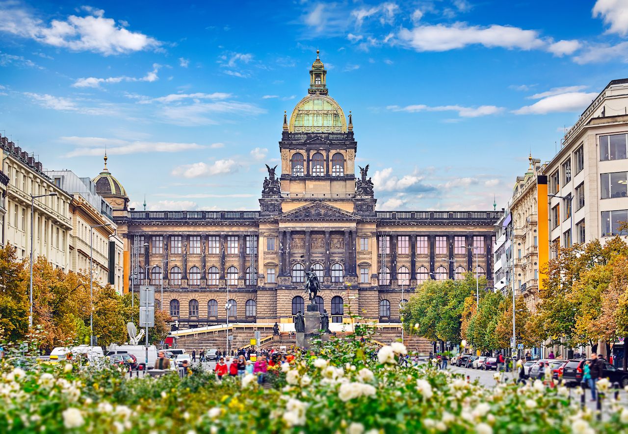
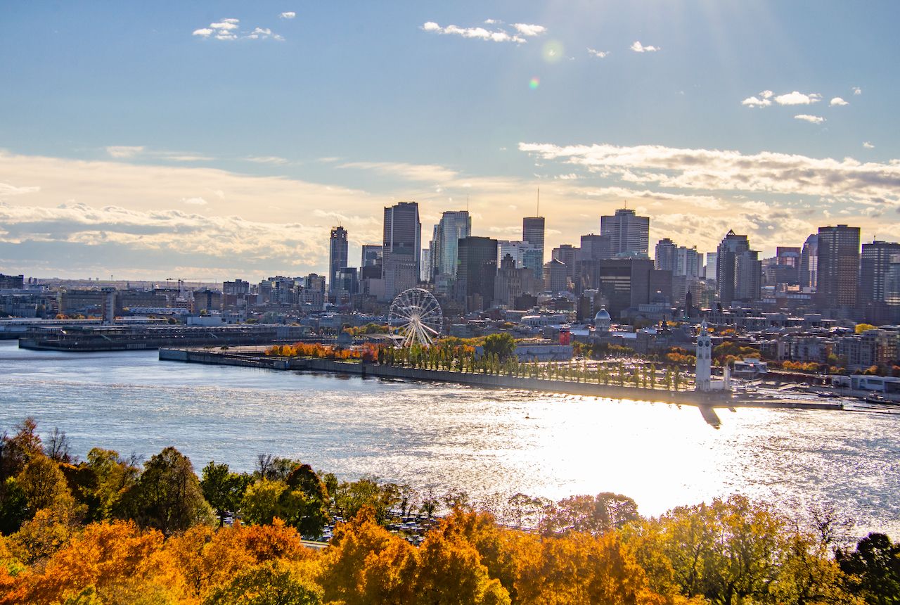
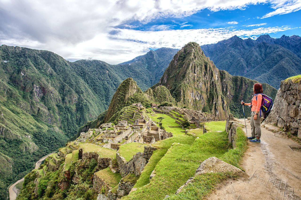
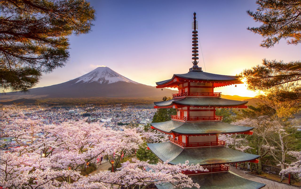
GOOGLE is measuring the most photographed places in the world.
It’s called SightsMap and it uses Google Map’s Panaramio platform, Wikipedia and FourSquare to determine what everyone is taking photos of these days.
“The dark areas have few photos, the red areas have more and the yellow areas have a large number of photos geotagged. The hottest places have markers linking photos, streetview, wikipedia, wikivoyage, foursquare and google plus articles about the site. The place names are selected by the wikipedia readership numbers and foursquare checkins. Area populations are based on the geonames database,” according to the makers of SightsMap.


