Photo: Modern Meta Photography/Shutterstock

New Route Lets Cyclists Bike the Pacific Crest

Oregon Washington Cycling
by Megan Hill Mar 4, 2010
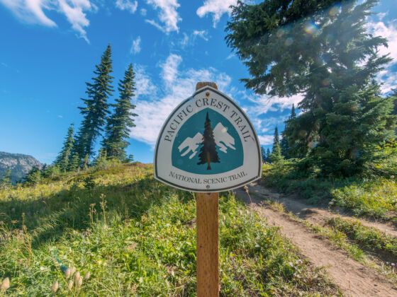
Adventure Cycling has unveiled a new road route that follows the Pacific Crest Trail from the Canadian border in Washington to the Mexican border in California.

IT’S A GREAT ROUTE for viewing the longest chain of volcanoes in the continental US. It’s also dizzyingly long, with a total distance of 2,392 miles.

Starting from it’s northern end in Sumas, Washington, the route curves through North Cascades National Park and on to Mount Rainier, the most heavily glaciated peak in the continental US and one of the first volcanoes on the route. It continues through Yakima, in Washington’s wine country, after an optional spur to Bellingham.

Continuing through Oregon, riders pass the Columbia Gorge and head to Crater Lake National Park in central Oregon, a deep blue volcanic lake with an island peak, Wizard Island, rising from its west end.

The route passes within view of the white cone of Mt. Shasta in northern California and brings cyclists to Lassen Volcanic National Park. After leaving volcano country, the route crosses through Yosemite National Park, Kings Canyon National Park and Sequoia National Park.

Then, it’s on through the desert and sierra of southern California before reaching the Mexican border at Tecate.

Detailed route maps will be available for purchase on Adventure Cycling’s website in mid-April, so you’ll have time to plan a trip on the route before the Northwest thaws. For now, you can find an overview map of the route on Adventure Cycling’s website.

Community Connection

Learn how to set up your bike for touring and what gear to bring with you.

Discover Matador