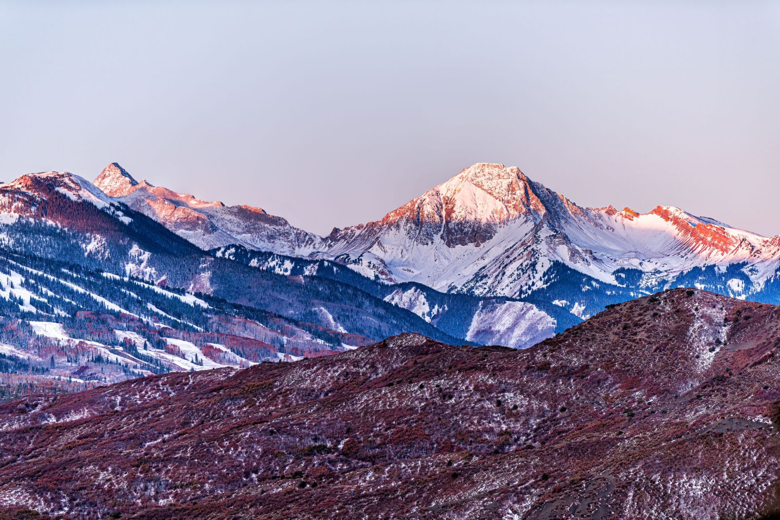
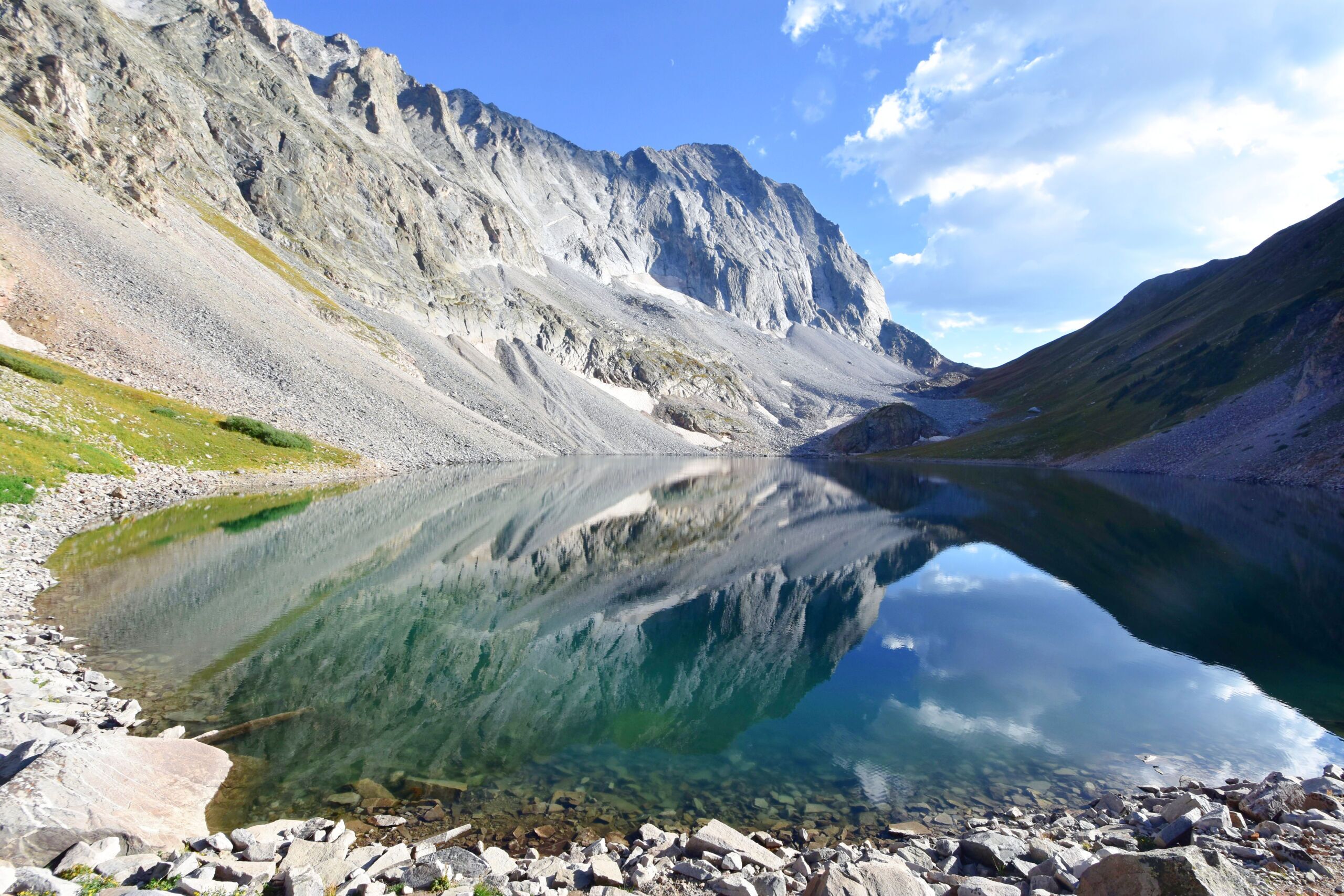
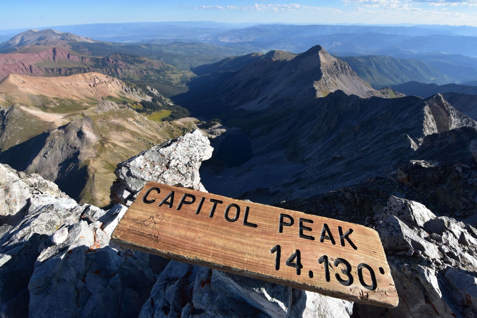
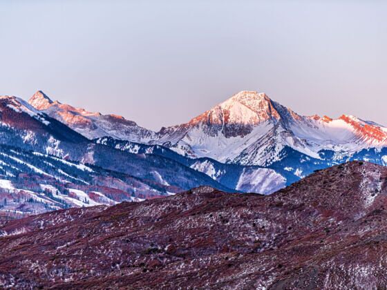
HAVING SUMMITED all of Colorado’s most difficult 14,000 foot peaks, Capitol Peak holds a special place in my heart as the most beautiful and dangerous of all. Following five deaths on the mountain in the recent weeks of 2017, I want to illuminate how to climb the stunning peak safely and enjoyably. Before climbing, make sure to have experience on class 3 and class 4 summits above 14,000 feet. You need to be comfortable with serious exposure and no-fall zones. This is not a hike. It is a climb with considerable route-finding.

Key Mountain Stats

  •  Trailhead: Capitol Creek trailhead, 9.9 miles southwest of Snowmass Colorado (do not confuse with Snowmass Village, CO)
  •  Standard Route: Northeast Ridge from Capitol Lake
  •  Difficulty: Class 4 with considerable exposure
  •  Summit Elevation: 14,130 feet
  •  Roundtrip Distance: 17 miles from the trailhead, 4.5 miles from Capitol Lake
  •  Elevation Gain: 5,610 feet total from the trailhead, 2,630 feet total from Capitol Lake
  •  Total Trip Time Estimate: for standard hikers/climbers, reserve 2 days and 2 nights with camping.  A half day to backpack in, a full day to climb and descend the peak, and a half day to backpack out.
  •  Best Time to Hike: Early July to early September

Backpacking Approach

Wildflowers on the backpack up to Capitol Lake

Unless you are an extremely fast and experienced hiker and climber, I recommend backpacking to Capitol Lake from the Capitol Creek trailhead. The backpack totals 6.25 miles one way and 12.5 miles round trip.  Hike through rolling cow pastures and lush meadows of wildflowers, then push through steep, rocky, switchbacks before arriving at the immaculate Capitol Lake.

Camping

Capitol Peak towering over our campsite at sunset

I recommend camping the night before and the night after the climb. Set up your tent near Capitol Lake for pristine lake reflections and Capitol’s sheer North face towering overhead. The alpenglow at sunset is absolutely unforgettable.

The hike: from Capitol Lake to the saddle, across the backside, and to K2

The switchbacks (shown on the far left of this photo) to the saddle.  The lake is shown on the far right of this photo.

I will cover the primary highlights of the hike and climb, but you can find full route details here on 14ers.com. Don’t let the 4.5-mile roundtrip distance to the summit from Capitol Lake fool you.  The hike and climb takes most of the day and cover over 2,600 feet of elevation. This description pertains to summer conditions only. Start very early to beat the storms, around 4 am. Leave camp at Capitol Lake and hike east up steep switchbacks to the 12,500 ft. saddle between Capitol and Mount Daly. This is a great spot to catch the sunrise.

On the ascent heading south on the snowfields after crossing the Mt Daly Saddle

Drop to the backside of the mountain and traverse south, where the route becomes more convoluted.  The trail ends here and the route-finding begins. Scramble over steep gullies and multiple snowfields (which persist into the summer on most years). After around half a mile, clear the far edge of the cliffs and climb .4 miles southwest and then west up steep talus. Aim for the base of K2, a towering rock point.

The climb: K2 and the Knife Edge

K2’s class 3 rock wall

When you reach the base of K2, you are now on Capitol’s summit ridge where the climbing begins. Wear a helmet for the remainder of the route. I recommend climbing directly over K2’s large tower of relatively stable rock. Otherwise, you can skirt around K2 on the north (right) side, but this can be dangerous when there is ice on this section as shown in the picture above. From here, scramble past a rock tower to the infamous Knife Edge ridge.

Shimmying across the Knife Edge on the ascent

The knife edge is 100 feet of horizontal, solid rock with sheer, 1000 ft. + drops on both sides. I want to clear up a few misconceptions about this section: It is not the most difficult portion of the route because the climbing and route-finding after the Knife Edge is comparably challenging and exposed. You can straddle the edge with two legs on both sides and shimmy across, or grab the edge and walk with your feet underneath you on the South (left) side. The North side is very sheer and contains a larger drop, so do not go right and don’t look down!

The climb: the summit ridge

The remainder of the route (on the left side face) after the Knife Edge

The route finding after the Knife Edge is complex, so in addition to my description, I recommend studying the route from here on 14ers.com.  Continue along the ridge southwest for .2 miles to reach a notch, then do an ascending traverse on the south (left) side of the northeast ridge. Stay 80 to 100 feet below the ridge crest until you reach the top section of a small, southeast facing ridge. This section contains class 4 climbing up several steep walls and gullies. Look out for loose rock and check your hand and footholds. When you reach the small southeast ridge, turn north (right) to regain the ridge crest. Lastly, turn west (left) and climb west along the sheer, rugged summit ridge. This section is very airy and exposed; it gave me goose-bumps looking 2,500 feet straight down to Capitol Lake.

Ascending the final ridge blocks to the summit

Continue west to reach the summit. This was my favorite of all my summits because of the views out to Snowmass Peak, the Maroon Bells, and over Capitol Lake.

The descent

Down climbing the class 4 walls below the summit ridge

Please keep in mind that you are only halfway finished when you reach the summit, and keep an eye out for high cloud buildup while enjoying the views. On the descent, follow the exact same route you took up, looking for major landmarks including ridges, gullies, the Knife Edge, and K2. Be very cautious of loose rock, especially when down climbing off the summit ridges and when traversing the large face to the right (when heading down) of the northeast ridge before the Knife Edge.

Straddling the Knife Edge on the descent

Descending the Knife Edge is equally challenging and exposed as on the way up. Several deadly accidents have occurred recently on the down climb between the Knife Edge and K2. Avoid the temptation to descend the gullies on the North Face (your left side when heading down), because they are much steeper and looser than they appear from the top!

Continue following the main route carefully over K2, down the talus fields, around the backside over the snowfields and gullies to the Mt Daly Saddle, then down the switchbacks to Capitol Lake.

Second night of camping and backpacking down

Between the Mt Daly saddle and Capitol Lake, hiking down the switchbacks back to camp

I recommend camping a second night to give yourself some well-deserved rest and to enjoy the sunset over Capitol Lake. The following morning, pack up camp and backpack out. It’s 6.25 miles from Capitol Lake back to the trailhead but the way down is considerably easier on your lungs than on the way up.

Backpacking down through the pine forests back to the Capitol Creek Trailhead