The Caucasus — encompassing Georgia, Armenia, and Azerbaijan — are among the most stunning yet lesser-known hiking regions in the world. These former Soviet republics sit at a significant cultural intersection of Asia and Europe, with the Caucasus Mountains as their dramatic backbone. Travelers have already been discovering their cities, from the trendy, offbeat Georgian capital, Tbilisi, to the fascinating urban blend of old town and contemporary architectural wonders in Azerbaijan’s Baku. But beyond the urban areas, these countries are full of captivating landscapes and traditional communities that beckon to be explored by foot.
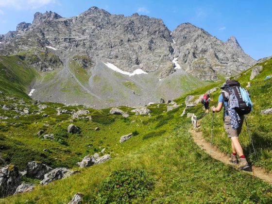

9 Treks That Showcase the Caucasus’ Remote and Rugged Beauty
Georgia and Armenia, in particular, have some extremely well-maintained hiking trails. The proposed Transcaucasian Trail, which will link both countries by a long-distance thru-hike, will likely draw the attention of backpacking enthusiasts when it’s complete. For now, though, the region is still flying under the radar as an outdoor haven, and you’ll find a complete sense of serenity and seclusion out on the trails. So, here are nine of the best treks you can find in the Caucasus that prove it should be your next destination for an outdoor adventure.
1. Mestia to Ushguli, Georgia
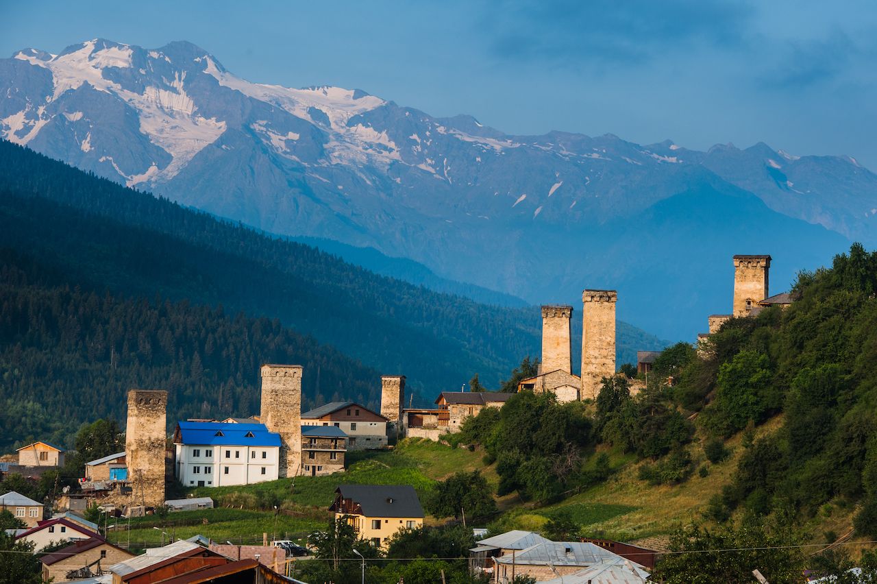
Photo: Evgeny Eremeev/Shutterstock
Time required: four days
Distance: 36 miles
Accommodation style: guesthouse/homestay
This four-day hike is definitely the most popular multi-day trek in Georgia. Its popularity is for good reason, though, as it provides some of the most beautiful views in the Caucasus Mountains and can be completed without carrying camping gear.
The trek starts in Mestia, the main town in Georgia’s northern Svaneti region. You can literally begin by hiking directly out of town with a well-maintained and waymarked trail to follow. As you climb over the ridgelines of this northern part of Georgia you have mighty glaciers and snow-capped peaks forming a backdrop to the unique Svan towers, historic, defensive structures made of stone that have become a symbol of the region. The area is home to a number of ancient communities, most of which have retained their original houses and Svan towers. These villages provide local, family-run guesthouses for hikers where you can enjoy some khachapuri (cheese-filled bread) at the end of a long day, washed down with a swig of homebrewed chacha (brandy).
The hospitality of the people is certainly one of the highlights of this trek, but the views are also incredible. Crossing the Chkhunderi Pass at 8,710 feet is certainly one of the most epic sections, offering a 360-degree view of the Adishi glacier and the surrounding ridgelines of the Caucasus Mountains. The trek finishes in Ushguli, a remote, traditional settlement considered one of the highest villages in Europe. From there, it’s possible to find a ride back to Mestia along the unsealed road used by visiting day-trippers.
2. St. Andrews Trail, Georgia
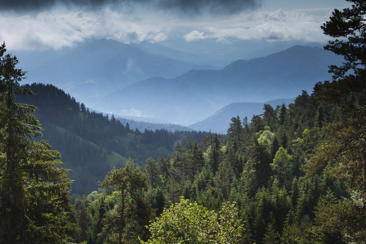
Photo: Rene Baars/Shutterstock
Time required: four days
Distance: 33.5 miles
Accommodation style: tourist shelters
The St. Andrews trail is considered the highlight of Borjomi-Kharagauli National Park in the lower Caucasus Mountains. It’s one of the largest parks in Georgia, best known for its pristine alpine forests and abundant wildlife.
Beyond its natural wonders, another appealing aspect of this trek is the well-developed hiking infrastructure within the park. Rather than carrying a tent, you can stay overnight in the tourist hiking shelters, which have a number of basic wooden beds available. Book the shelters prior to setting out at the National Park Visitor Center, where you can also pick up good hiking maps.
The trail itself begins at the Atskuri Guard Station, around 16 miles away from the visitor venter. From there, the trail is well marked and crosses alpine meadows and broad-leaved forests until it opens up to panoramic views of the rolling hills. On the second day, you climb steadily up to the highest peak in the park, Mount Sametskhvario at 8,667 feet, where you can enjoy the best views of the entire region. The third day is long and equally challenging over some of the highest ridges in the national park, and you can enjoy glimpses of other 7,000-foot peaks. The trek comes to an end at the ranger station at Marelisi.
3. Juta to Roshka via Chaukhi Pass, Georgia
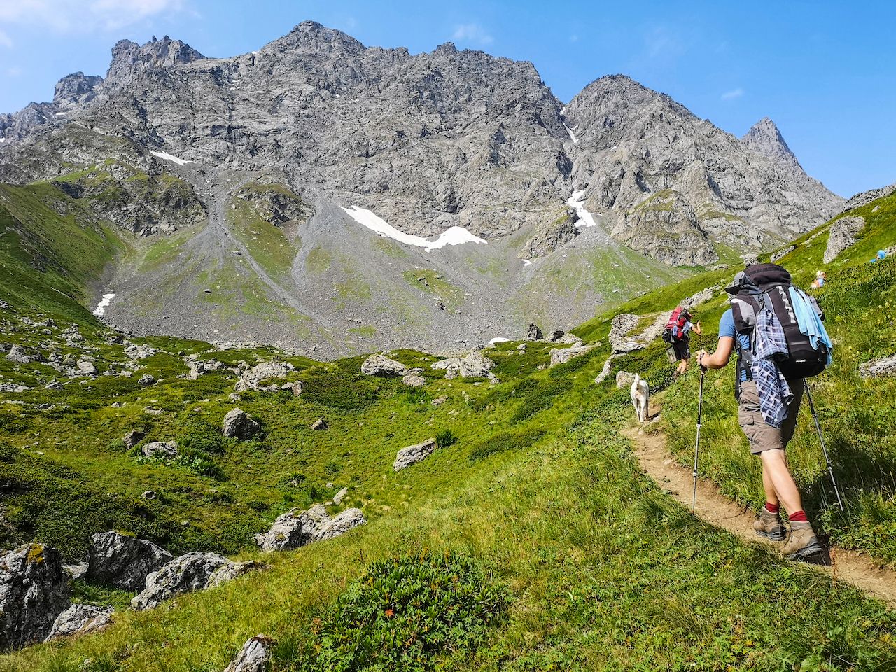
Photo: think4photop/Shutterstock
Time required: 1-2 days
Distance: 11 miles (15.5 miles, if including a side trip to the White Lake)
Accommodation style: guesthouses or camping
For many trekkers, this is the most impressive hike in Georgia. But because of its remote location, it sees far fewer people than you might expect. It’s a spectacular trail that connects the overly popular Kazbegi with the more secluded Khevsureti region. The highlight of this trail is undoubtedly the Chaukhi Massif, a razor-sharp mountain of seven jagged peaks. In fact, the hike takes you over a high pass right through the range, and it’s by no means an easy trek.
The route begins in a village called Juta, a 13-mile drive from Stepantsminda, the main town and tourist hub of the Kazbegi region in northern Georgia. From Juta, you leave the village and cross over ice-cold streams and open-field slopes as you climb slowly towards the staggering peaks. The views from Chaukhi Pass are breathtaking — but, at almost 11,000 feet, you might feel a little out of breath from the altitude, too.
The descent down to Roshka village is steep and rocky. Along the way you’ll see huge boulders that have come down from the Chaukhi Massif over time, as well as the stunning colored Abudelauri Lakes. The so-called Blue Lake and Green Lake will be on your right, but the White Lake requires a deviation of an extra hour to get to its water’s edge.
Guesthouses are available in both Juta and Roshka, meaning if you are fit and able you could complete the entire 11-mile trek in one long day without the need to carry a tent. However, many people prefer to stop somewhere halfway and wild camp for the night.
4. Omalo to Shatili, Georgia
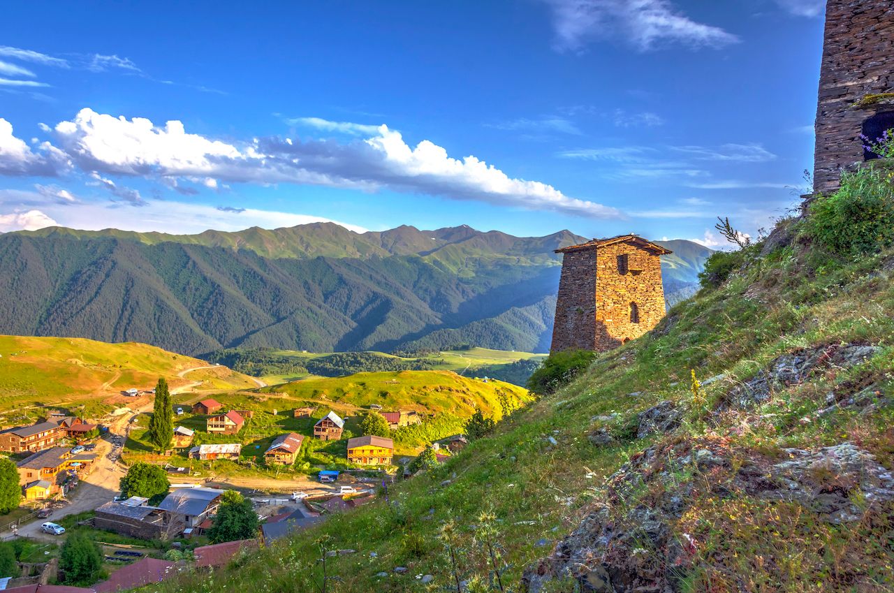
Photo: Ana Flasker/Shutterstock
Time required five days
Distance: 46 miles
Accommodation style: camping
If you prefer to explore more remote and secluded areas, then this trek in the Tusheti National Park is one of the best within Georgia’s Caucasus Mountains. Goat tracks connect medieval villages that for centuries have stood steadfast against penetrating enemies. Each of the villages still have their crumbling traditional watchtowers, similar to what you find in the more popular Svaneti region further west.
The trek winds its way over valleys connecting the two villages of Omalo in Tusheti and Shatili in the Khevsureti region. The first couple of days are spent passing through a number of remote hamlets, with their traditional houses made from layered shale stones with lofty watchtowers flying the national flag.
The fourth day is the most challenging, as it takes you away from civilization and over the 11,500-foot Atsunta Pass. The views are very much worth the effort though, with the layers of mountains back through the valley appearing as though they are covered in green velvet. Along the way, you’ll pass a number of border guard posts as the trail is quite close to the sensitive Russian border. It’s relatively easy to follow, but the trek is not entirely waymarked, so it’s best to carry a map or GPS device with you.
You can try to stay in some of the villages that you pass through, as the locals are friendly, but you’ll still need to be completely self-sufficient to complete the entire trek.
5. Little Switzerland, Dilijan National Park, Armenia
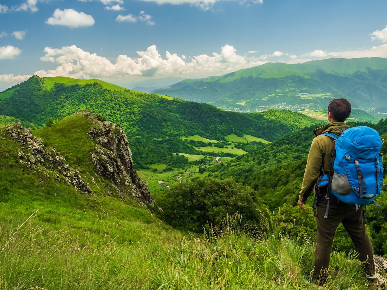
Photo: Dmitriy Gutkovskiy/Shutterstock
Time required: five days
Distance: 52.8 miles
Accommodation style: guesthouse and camping
This trek is a section of the yet-to-be complete Transcaucasian Trail, which will eventually link existing hikes in Armenia and Georgia. It’s become a showcase section of the multi-country trail and has been tried and tested by many hikers in anticipation for the much longer thru-hike.
This five-day section follows forested trails through many of the main historical sites in Armenia’s Dilijan National Park. It passes by the early Christian monasteries of Goshavank, Jukhtak, and Haghartsin, which date back as far as the 10th century, and have the distinctive Armenian architecture that you’ll see throughout much of the country. The trail takes an almost circular route from the village of Kachardzan to Hovk, passing through the main town in the region along the way, Dilijan. It’s recently been well waymarked, and there is even a GPS-guided app run by HIKEArmenia that can help with navigation, making it manageable for most people to complete independently.
The pretty forests are still home to roaming bears and wolves, although the trail itself is never too far from civilization, often passing through farmland. We recommended being fully self-sufficient in terms of gear and food, as one of the night’s rest stops requires wild camping.
6. Vayots Dzor, Armenia
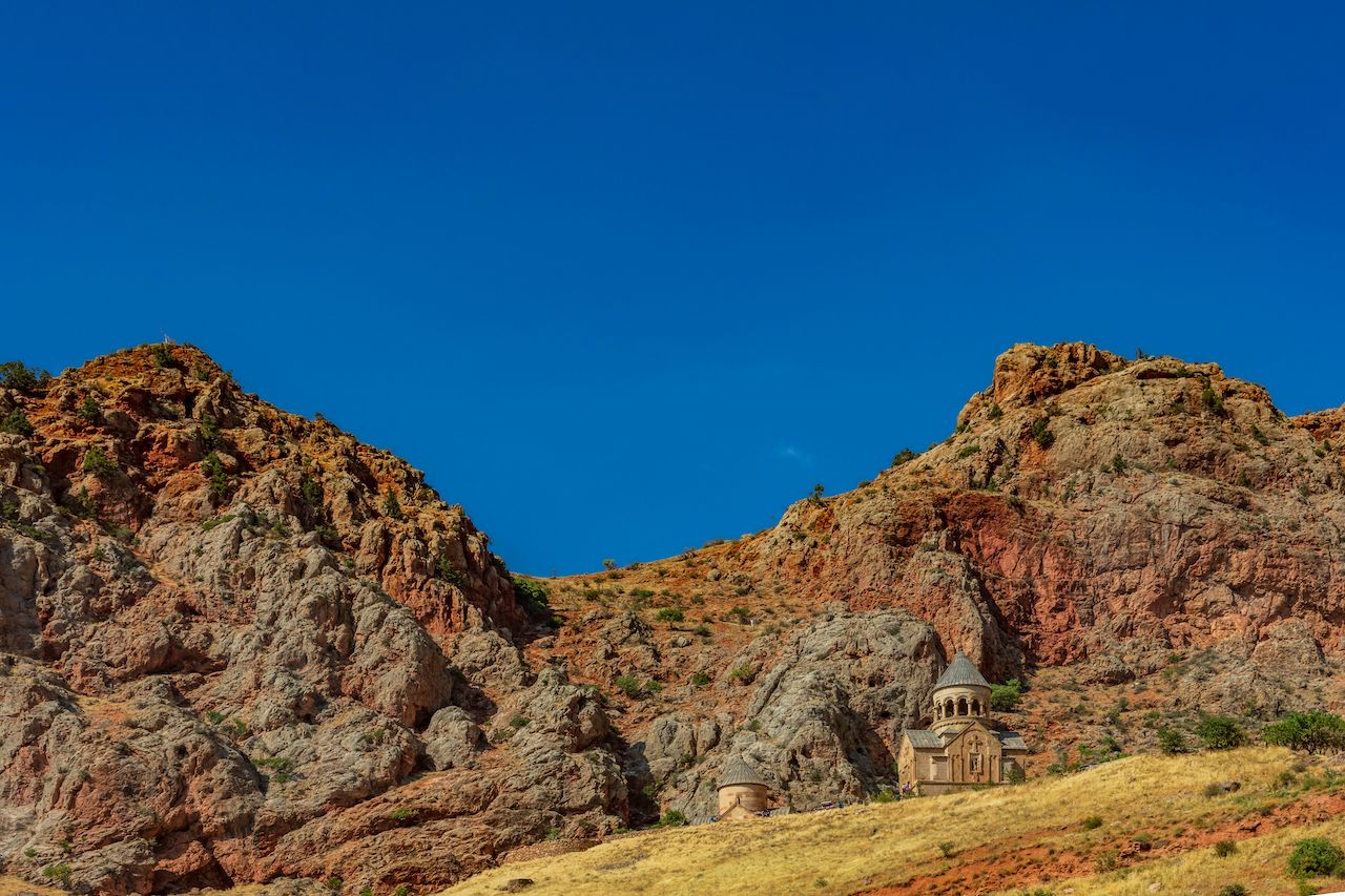
Photo: OSTILL is Franck Camhi/Shutterstock
Time required: seven days
Distance: 77.7 miles
Accommodation style: guesthouse and camping
The Vayots Dzor province in southeastern Armenia is known by most visitors for its fine vineyards and the world’s oldest known winery inside the Areni cave complex. The area was also a stretch along the former Silk Road trade route, with old caravanserais, or resting places for traders, still found within the old villages. The best-preserved of these caravanserais in Armenia is known as Selim, where this trek begins.
The caravanserai was built in the 14th century as a place for traders and their animals to rest as they traversed the region’s tiresome mountains. In a way then, when you hike from here south through Vayots Dzor, you are effectively following in the footsteps of those early travelers. From the Selim caravanserai, the trail has been recently waymarked, and you’ll find painted blazes as well as some directional signposts along the almost 78-mile route. If you’re completely self-sufficient, you can wild camp the entire way — although guesthouse accommodation can be taken advantage of at all but one overnight stop.
The trail climbs through forested slopes that open out into impressive vistas of the rolling ridgelines and surrounding mountain ranges. If you allow the time, you can follow the signposts to old fortress ruins and historic churches that dot the landscape in this ancient land. The trail finishes in the village of Ughedzor, not far from the main national highway in Armenia.
You can download GPS files and maps from the Transcaucasian Trail website. Otherwise, the HIKEArmenia app also has a number of day hikes in the Vayots Dzor region that you can add to your adventure.
7. Gegham Mountains, Armenia
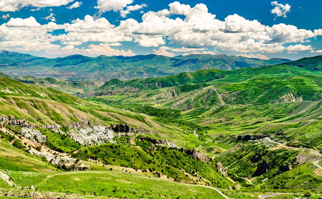
Photo: Leonid Andronov/Shutterstock
Time required: six days
Distance: 71.5 miles
Accommodation style: camping
If you prefer to get completely isolated in some of Armenia’s most captivating and raw landscapes, then this trek might be the ultimate challenge. It has yet to be waymarked and requires a completely self-sufficient and unsupported adventure through land that is only inhabited in the summer months.
The Gegham Mountains are perhaps Armenia’s most breathtaking landscape in the lower Caucasus Mountains. They’re a chain of volcanic peaks that stretch from north to the south of the country and are only hospitable after the snow melts and the nomadic Yezidi herders return to set up camp. This 71-mile backcountry trail stretches north from Selim caravanserai to the town of Sevan, on the shores of the piercing indigo lake. It’s technically joined to the Vayots Dzor multi-day trail at Selim, which could be completed together in one long, epic trek.
This trek alone requires several steep ascents up scree slopes and navigating open fields. However, there is a designated trail that has been traversed a number of times in preparation for the coveted Transcaucasian Trail. For now, it remains the country’s ultimate backpacking adventure, offering wide-open vistas across dormant volcanoes with colorful volcanic soil that turns the slopes a rich rusty color.
You can download GPS files and maps on the Transcaucasian Trail website. If you’d prefer to tackle the trail with an expert, you can also hire a professional guide.
8. Around Quba, Azerbaijan
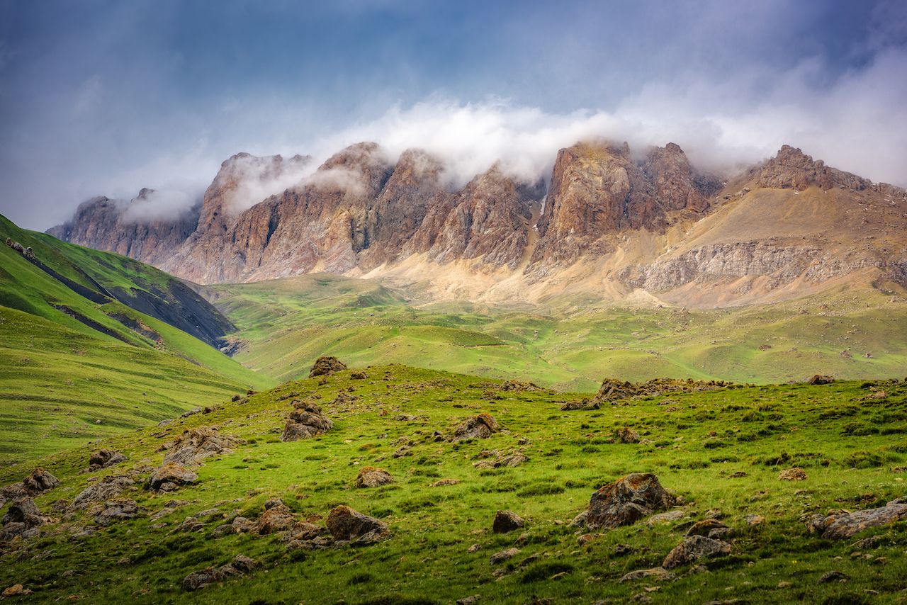
Photo: mbrand85/Shutterstock
Time required: one to four days
Accommodation style: guesthouse and camping
Hiking in Azerbaijan may not be as organized as in Georgia and Armenia, but the country has its fair share of rugged mountains, where traditional villages and remnants of former empires still remain. Its share of the Caucasus Mountains runs through the far northwest of the country, close to the borders with Georgia and Russia.
Although there are not really any existing long-distance trails, hiking is emerging as a popular activity in a couple of areas. Quba is one of the main towns in the Lower Caucasus and easily accessible from Azerbaijan’s capital, Baku. Using Quba as a base, you can explore the surrounding villages on foot with a local guide. The main attractions are the two remote and traditional villages of Laza and Khinaliq (or Xinaliq).
Khinaliq is the self-proclaimed most-remote village in Europe, sitting at a lofty 7,710 feet and just 30 miles from Quba. It’s been continuously inhabited for around 5,000 years, and the stunning mountains surrounding the small settlement have managed to keep invaders at bay. It’s possible to organize a local guide in Khinaliq to take you on numerous day hikes higher into the mountains for a bird’s-eye view of the village. However, for a more secluded and immersive challenge, you can opt to trek the few days to Laza village.
Laza is a far smaller settlement and feels even more remote, with towering rocky peaks and flowing waterfalls turning the landscape an emerald green. It’s easy to lose yourself in the serenity of this surreal, sparsely inhabited landscape. Navigation is your biggest challenge here. If you want to traverse between villages, we recommend hiring a guide and pack horses.
9. Around Sheki, Azerbaijan
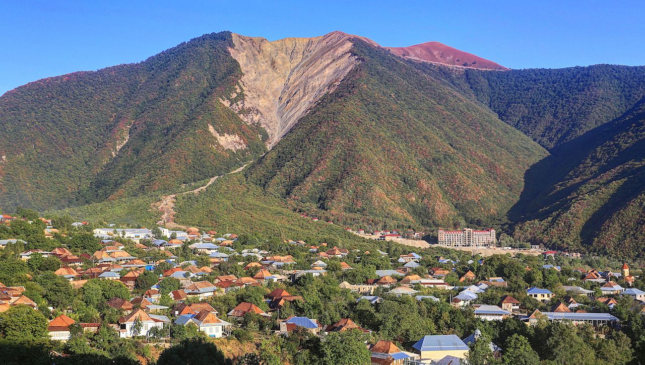
Photo: ETIBARNAME/Shutterstock
Time required: one to four days
Accommodation style: guesthouse and camping
Sheki is a small, historic town at the base of the Greater Caucasus Mountains that was a popular resting place along the former Silk Road trade route. Although many visitors go to Sheki for its old palaces and restored caravanserai, or ancient inns for Silk Road travelers, the surrounding mountains will beckon any enthusiastic hiker.
As in most of Azerbaijan’s mountains, there are little to no waymarked trails, and navigating the goat tracks around the area requires the knowledge of a local guide. However, Sheki is a popular stop for people traveling overland between Georgia and Azerbaijan, and tourism infrastructure is somewhat more advanced than in Quba.
A local guide can be arranged to take you into the hills directly from town. A popular day hike from Sheki can take you through the village of Kish and its Albanian church before continuing on to the ruins of the ninth-century Gelersen-Gorersen fortress, which was pivotal in keeping the Persians from invading. Further trips into the mountains involving camping and pack horses can be arranged through any accommodation options in Sheki.