We live in Switzerland, and when internal borders opened in mid-June, our family of five rushed to the sea. We loaded up a rented RV with five bikes and five surfboards, and headed southwest toward France. We headed first to its Alpine foothills, then the Mediterranean, before skirting along France’s mountainous border with Spain on our way to the Atlantic. From there, we worked our way northward toward Normandy. Everywhere we visited, the other vacationers were almost exclusively French, yet each destination had its own, unique feel.

RVing Through France Is the Perfect Way to Do It All -- at Your Own Pace
Several weeks earlier, we’d learned that Switzerland’s borders with France, Germany, and Austria would open in summer, but all else remained uncertain. For our family of surfers, it was clear France’s Atlantic coast should be our destination. We were wary of airplanes and unsure how a hotel experience might work. A family RV trip had long had an abstract appeal, and we moved quickly to rent one before they were snapped up. In fact, European RV rentals were up 60 percent this year over last. We rented the biggest one possible, which at 24 feet is much smaller than what you can rent in the US, but given Europe’s many narrow roads, that was just as well.
A canal city by the Alps
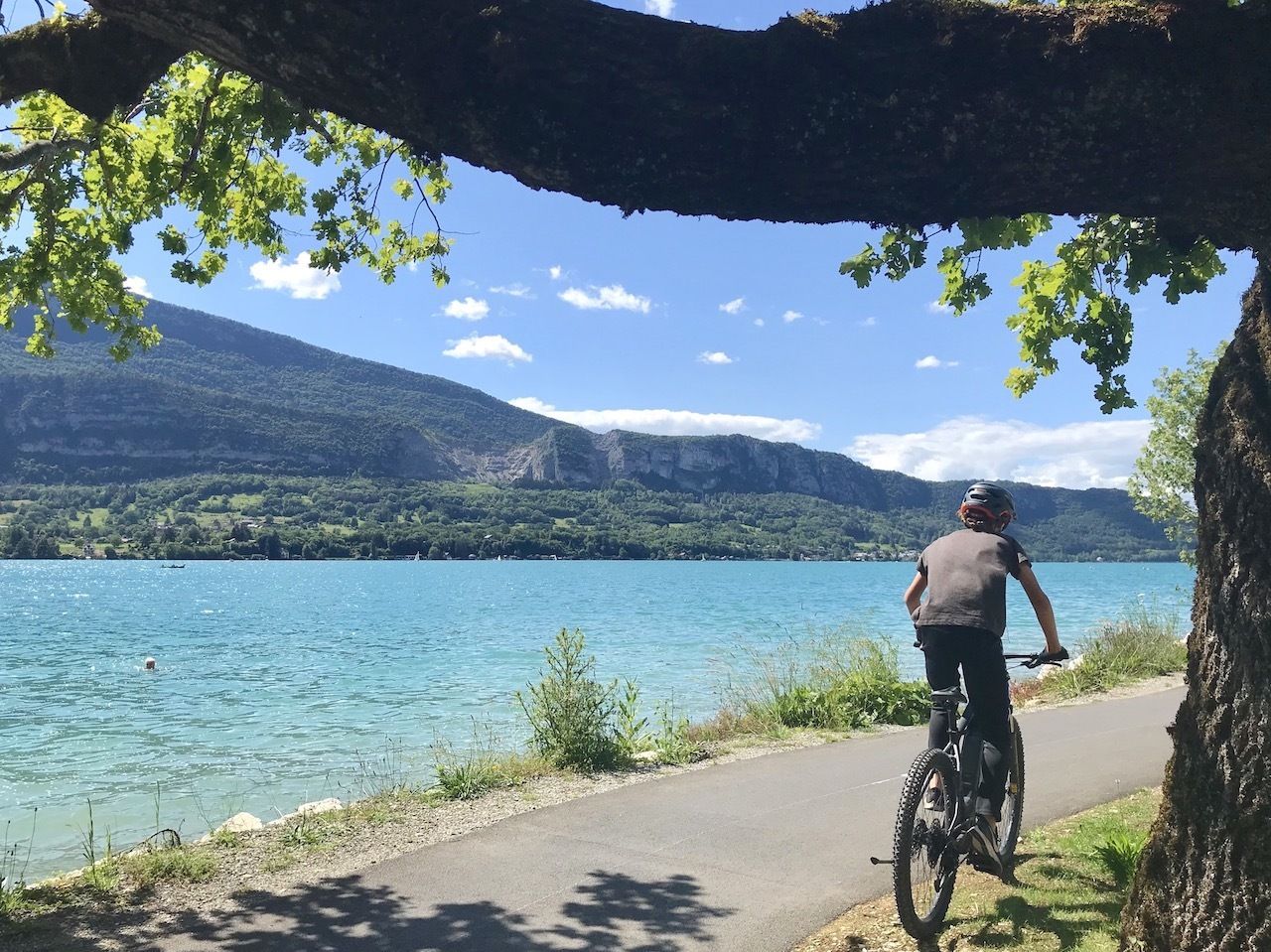
Photo: Noelle Salmi
From Zurich, we drove past Lake Geneva, crossed into France, and turned south toward Annecy, one of the most beautiful canal cities outside of Venice. More striking even than its canals is Annecy’s deep blue lake, backed by mountains soaring 7,000 feet skyward. We were on the outer edge of the Alps, not far from peaks reaching twice that height. Our first RV camping area was on a grassy rise with a view of that lake and those mountains, whose rocky crests turned deep red in the darkening night sky.
We had an unexpectedly good first night’s sleep in the RV. The campground was silent, and cool air wafted through the open, but screened, windows. We’d brought our own bedding, as European RVs come bare, save a brush and dust pan. Anyone coming from abroad could rent plateware and other items from the RV company, but they might prefer purchasing cotton sheets from IKEA over renting pricey synthetic ones.
We enjoyed freshly baked croissants pre-ordered from the campground office. We then rode our bikes three miles into Vielle Vieu, Annecy’s old town. It was a Saturday morning, and the bike path was as crowded and hair-raising as any stage of the Tour de France. Cyclists on touring bikes whizzed past on our left, squeezing between us and oncoming cyclists. We in turn all raced each other on our mountain bikes into town, sweaty but unharmed.
We found an outdoor table by the main canal, lined with pastel-hued buildings dating back to the 13th and 14th centuries, and enjoyed our first restaurant meal since lockdown. After lunch, we biked the 30 miles around Lake Annecy, taking in the changing water views and gaping at the parasailers who leapt off the mountain-top above and who added to Annecy’s outdoorsy feel. We finished the day with a dip in the lakes’s clear, clean, and cold water.
From the Mediterranean to the Pyrennees
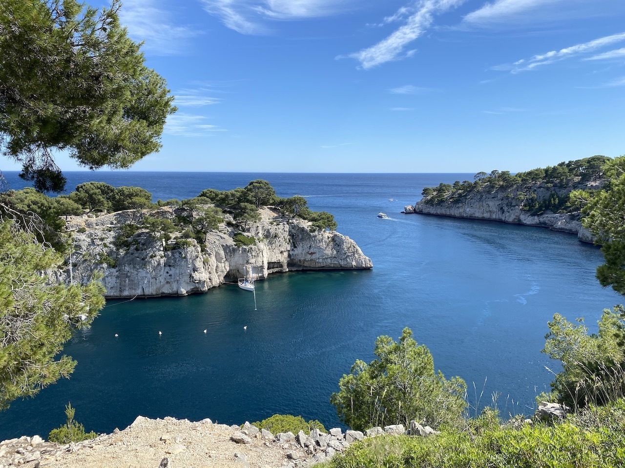
Photo: Noelle Salmi
From Annecy we traded the mountain vistas for the sea, driving southwards toward Calanques National Park, a stunning reserve of fjordlike inlets carved from white limestone cliffs on the Mediterranean coast. Atop the bluffs, sage and myrtle, with their sweet, minty scents, and twisted juniper trees added a third, verdant hue, along with the cerulean sea and pale earth, to the stunning landscape.
Our campground was a nondescript collection of sites on the outskirts of Cassis, but our attention was on the national park, which we spent the day exploring on our mountain bikes. We stayed for a long time by one of the more accessible calanques, or coves, appreciating the hip, multiracial groups of friends who’d come on that Sunday to enjoy the crisp, piercingly blue water. We were close to the multicultural port city of Marseilles, and this would be the most diverse group of locals we’d encounter on our journey.
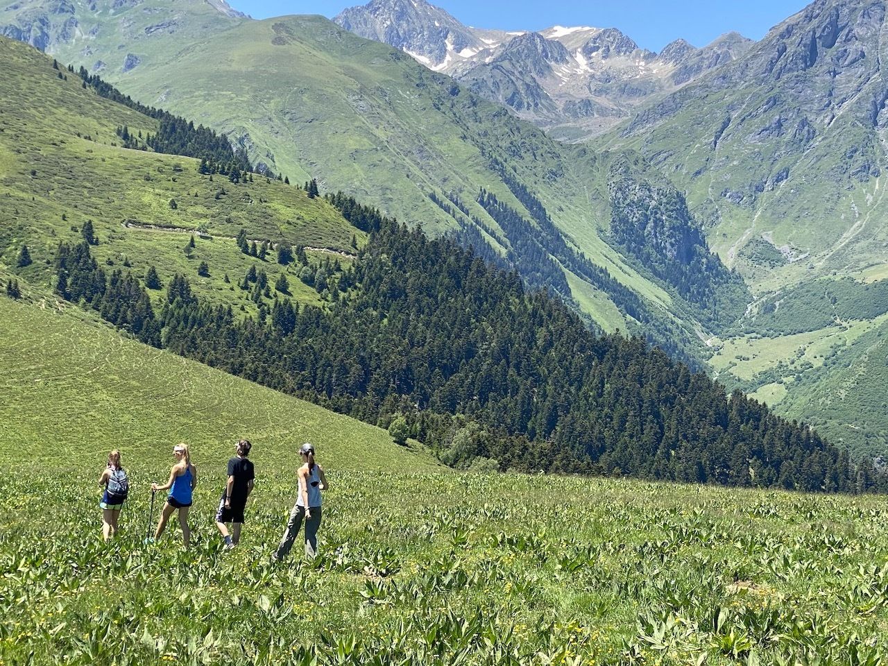
Photo: Noelle Salmi
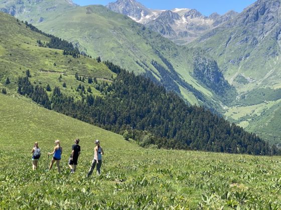
We then left the coast for another set of mountains, this time the range that divides France and Spain. Having lived in Barcelona for two years starting in 2010 when our children were younger, we’d spent many winter weekends in the Pyrenees. But while the La Cerdanya valley is a ski area well worth exploring, the Pyrenees’ southern slopes rise gradually. It was startling, then, to arrive from the north, where they surge sharply from the lush valley floor. It felt we were seeing the mountains’ secret, more formidable backside.
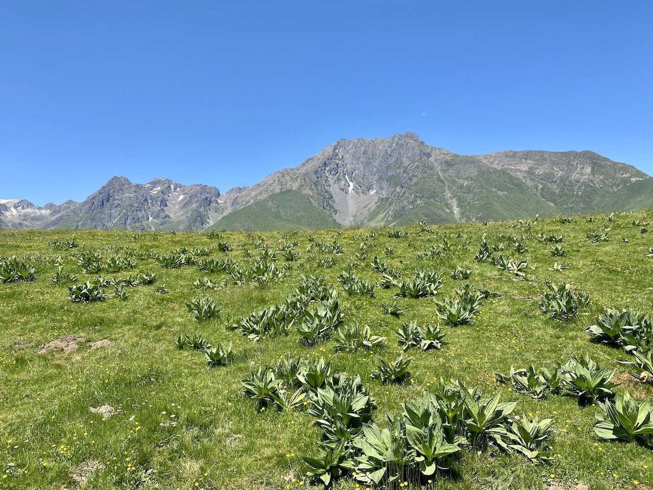
Photo: Noelle Salmi
We stayed in Saint Lary, a village below one of the largest ski resorts in the Pyrenees. Even in summer, the town’s sturdy homes in dark gray stone and rugged locals exude a ski-town vibe. From our small RV park at the foot of the towering peaks next to a gurgling creek, we could look up to see the seemingly endless switchbacks of a narrow road that has hosted a few Tour de France stages. We opted to ascend the mountain on foot instead. The steep grade and sweeping views felt similar to hikes we’d done in Switzerland, but the heat and flora at the higher elevations was new to us.
The French Basque Country
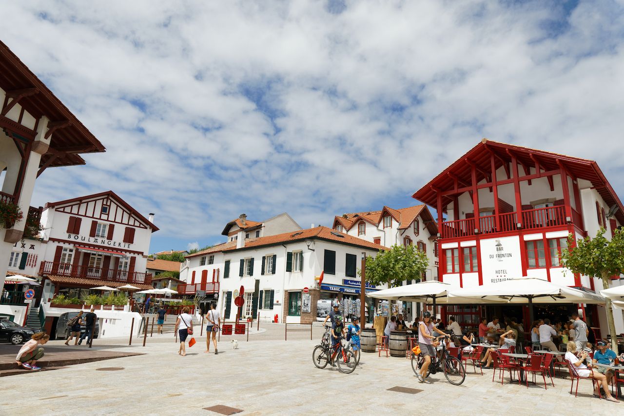
Photo: chromoprisme/Shutterstock
After our intense, multi-hour hike, we slept deeply. The next morning, after yet more croissants, it was time to again trade the mountains for coastline. In just over two hours we reached the Atlantic Ocean and French Basque Country. It’s the charismatic counterpart to the better-known Spanish side, which lies on the rainy, northern coast of an otherwise arid country. Once buoyed by industry and then plagued by separatist strife, the Spanish Basque Country has only recently become a tourist destination but remains a serious commercial area, as well.
The French Basque region, on the other hand, lies on France’s southern border and was long seen as a summer escape. Its main city, Biarritz, came to life as a playground for French noblemen in the mid-1800s, and today it and the area’s other seaside towns retain a beachy, vacation feel. Between Saint Jean de Luz and Biarritz, both bigger areas with apartments and busy pedestrian shopping lanes, are the hilltop villages of Guethary and Bidart. The two are irresistible with their Basque architecture — white houses with wooden trim painted forest green, deep red, or royal blue, at times embellished with vibrant bougainvilleas.
We stayed in a rented apartment in Bidart and parked the RV in a free lot for the week. (Had we opted to stay in it, we’d have had a few cliff-top RV parks to choose from.) Using coastal bike paths, we explored the entire coast, eating freshly caught fish at restaurants overlooking town squares or situated by the water. The hardest seaside reservation to get is at Guethary’s Bahia Beach, from where we could watch surfers stretch their sessions into the final moments of daylight.
We were in France, so dinner attire was nearly always a button-down shirt or a summery dress. The imitable elegance, though, felt tempered by the area’s surfer vibes. We got in on these vibes as our apartment was within walking distance — on a long rambling path through a cut in the cliff — to a surf break. Following months in landlocked Switzerland, we were in the ocean. We surfed a lot.
Europe’s biggest dune
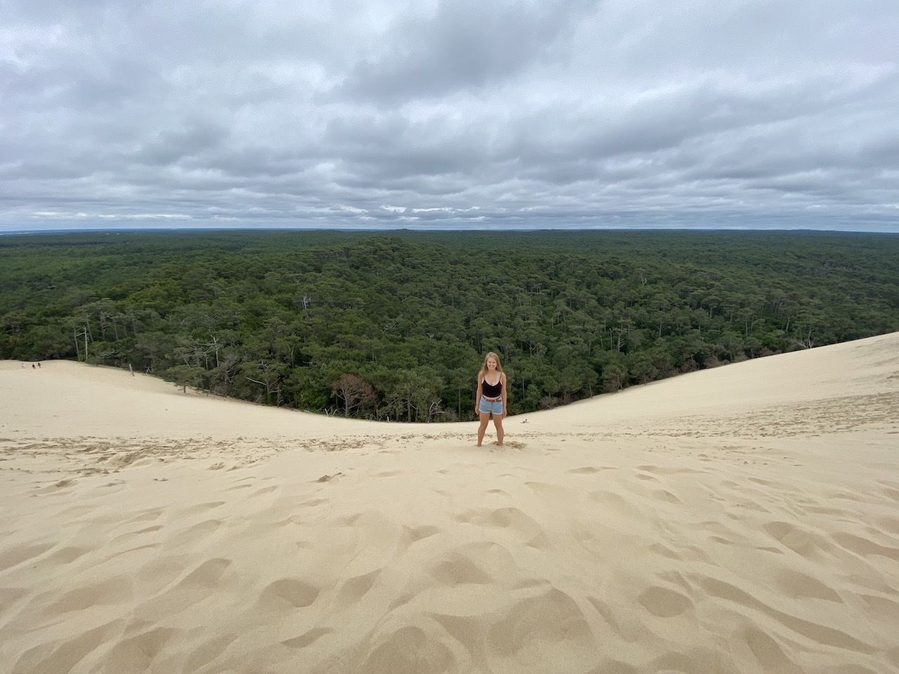
Photo: Noelle Salmi
After a week of good food and variable waves, we loaded up the RV, packing its tiny fridge with the fresh market produce we’d stocked up on, and headed northward toward a big lump of sand. Dune du Pilat is Europe’s biggest sand dune, measuring 350 feet tall and 1.7 miles long. After walking past tourist kiosks, I wasn’t sure I wanted to summit the dune. But when our son started running up the sand, we all followed, forgoing the out-of-place staircase that most visitors use.
Once atop the more than two billion cubic feet of sand, we were stunned by the view. The dune descended gently to a distant shore in front of us, beyond which lay barrier islands and the Atlantic Ocean. To the side, the dune stretched farther than we could see. Everywhere else was uninterrupted forestland. We picnicked on the windy dune and then jumped and jumped onto the forgiving, soft slopes before racing each other back down to the forest floor.
France’s Atlantic islands
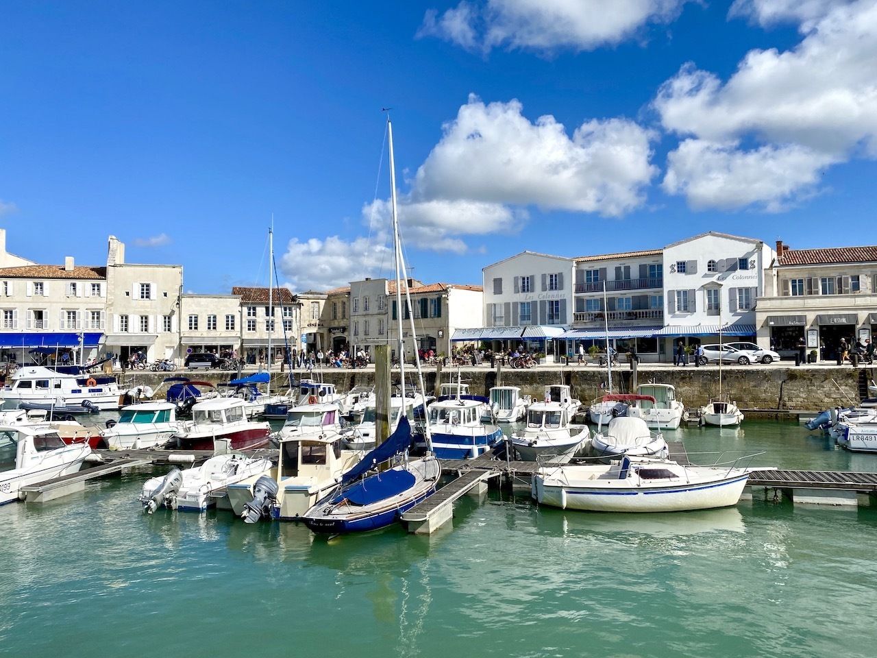
Photo: Noelle Salmi
Our next stop was Île d’Oléron. We’d chosen that island for the waves, but soon discovered that our RV park was nowhere near the surf break. In fact, our RV park had nothing really going for it, save the proximity, behind a tall wall, of the shore. French “camping” areas, as they’re called, are unlike most US campgrounds. They often neighbor other homes or apartments, carrying a mix of options from tent or RV sites to cabins.
It’s also critical to read reviews or to call the RV park to inquire about views since relying on photos alone can be deceiving. A drone shot might show picturesque surroundings, but an RV park on flat ground within an enclosure offers only a soulless vista of neighboring camper vans.
On Île d’Oléron, however, we did take advantage of the sea beyond the wall. After dinner, we explored tide pools extending out for 200 yards — admiring the late evening light and hundreds of tiny hermit crabs.
The next morning, we packed up quickly, realizing the island we really wanted to visit was the next one over. Île de Ré is a quiet treasure that’s been called the Hamptons of France, and it’s a five-hour drive for chic visitors from Paris. On our own 90-minute drive there, we hastily researched RV parks, stumbling on an app called park4night that lists all of the available parking options in a given area — whether at pay-for facilities or for wild camping. Wild camping is semi-legal in France as long as you avoid heavily touristed areas and don’t stay too long in any one place.
Although it had no photos, one wild spot on the island’s south side seemed promising. A reviewer had warned about the sandy, narrow road to get there, but we chanced it and were thrilled to find an open field amidst the trees. After parking our dusty RV, we walked a short path over a small dune to a wide beach that stretched as far as we could see in either direction, and we thanked our good luck. We’d traded access to fresh water (beyond the water we had in the RV) for a leafy space of our own, but we were biking distance from a camping area.
After the beach, we walked back to the RV, threw on our most presentable summer clothes, and rode our bikes along some of many cycling paths that encircle and criss-cross the island. Our destination was the town of Saint Martin de Ré on the island’s north side, where cream-colored buildings dating to the 17th century line the canals and al fresco dining spills out from the many restaurants and cafes. Twice more we’d return to the picturesque town, with its fishing boats, a lighthouse, and colorful boutiques, eating everything from goat cheese salads and buckwheat crepes to Atlantic spiny lobster.
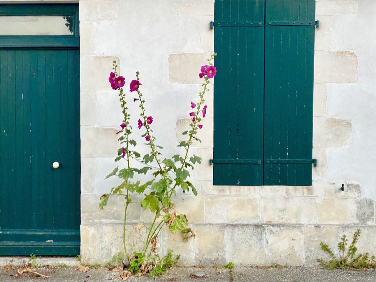
Photo: Noelle Salmi
Whereas Annecy’s cyclists were hardcore enthusiasts on multi-thousand-dollar racing bikes, in flat Île de Ré, perhaps the most common two-wheeler was a pastel blue cruiser with a whicker basket. Surfable waves here were few. Île de Ré seems more a place for a leisurely beach walk or a game of tennis. Seeing lithe teenage girls with their delicate, flowery dresses and $600 tennis shoes, the Hamptons comparison seemed apt.
At the same time, the Parisian vibe stopped at the architecture. On each ride back to our RV we opted for another route, biking through tiny villages of unembellished white and cream homes that seemed more Mediterranean than Atlantic. And everywhere, the island’s ubiquitous hollyhock flowers — growing on six-foot-tall stocks and in hues from pale pink to purple — stood guard by doorways and decorated the whitewashed walls.
Mont Saint-Michel
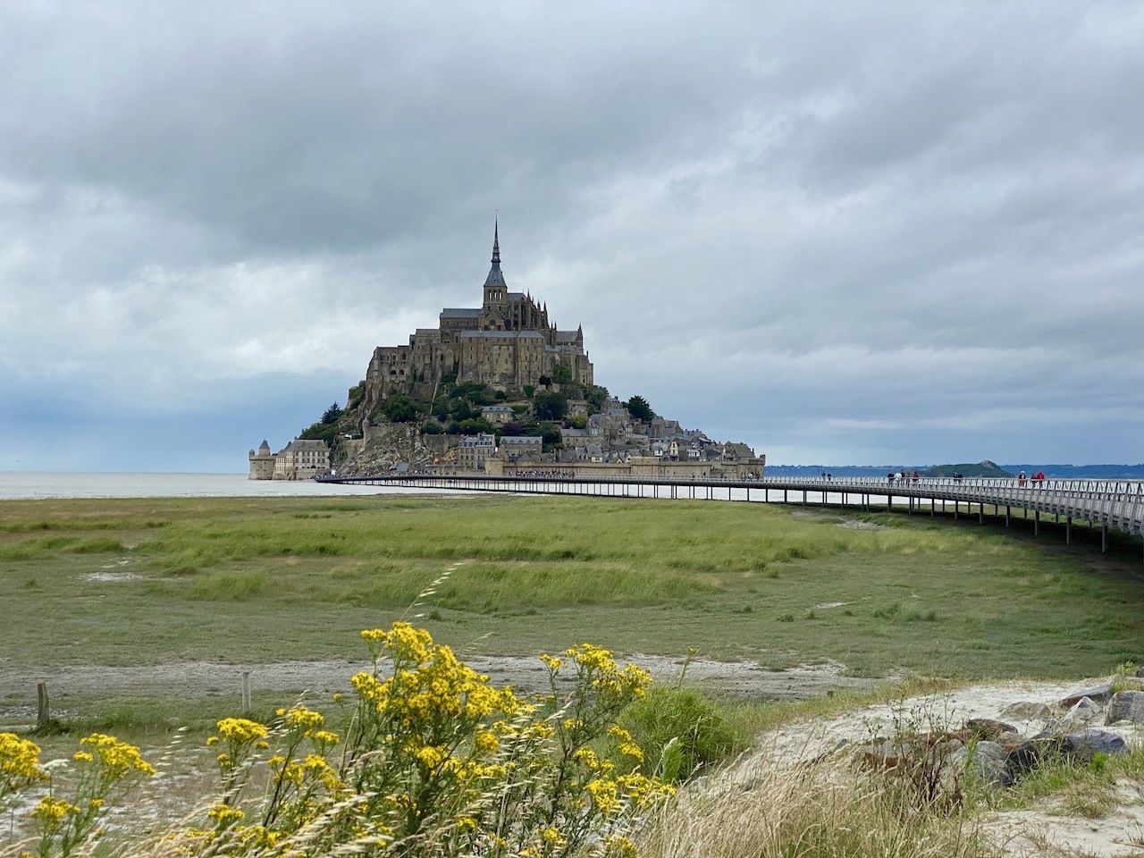
Photo: Noelle Salmi
Our next stop was due north: Mont Saint-Michel, the tidal island that over the centuries has served as everything from a hermit’s hideaway to a military garrison. When you first glimpse the mountain-like citadel just offshore, ringed by impenetrable walls, you understand how it was able to stave off English incursions for the entirety of the 100 Years War.
You can’t drive in without a dinner or hotel reservation. And although the tide was out, the land around Mont Saint-Michel feels impassable, a sticky sand-mud mixture that grips your shoes and won’t let go. So we parked our RV on dry land and rode our bikes across the half-mile-long bridge. Passing the gateway to ascend to the abbey, we started walking our bikes up the narrow, cobbled lane, lined by dark storefronts that looked eerily like Diagon Alley.
It was drizzling by the time we got back to the RV. Despite the late hour, our park4night app didn’t let us down, leading us to a road that ended at a vast, windswept beach. We parked inches from the sand and with a far-off view of Mont Saint-Michel. As the rain poured, we had our first indoor dinner in many days.
The cliffs of Normandy
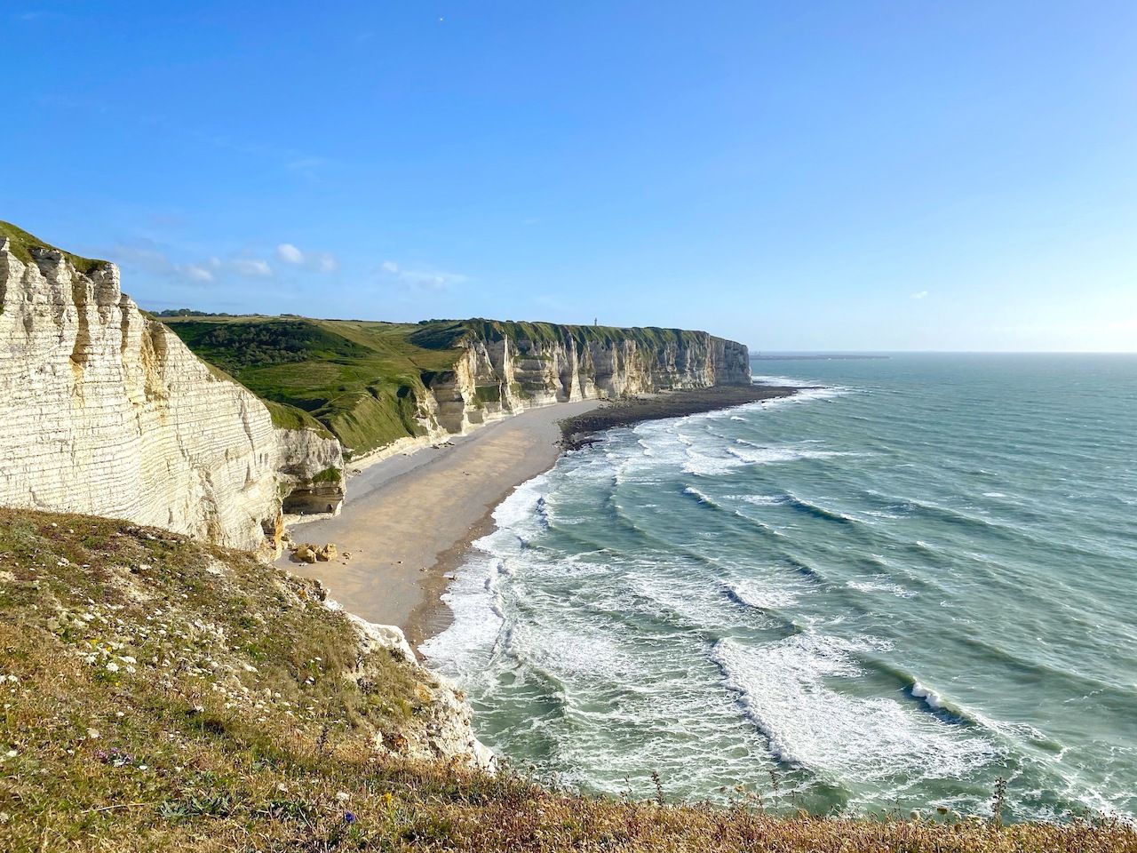
Photo: Noelle Salmi
We had a lot of ground to cover this day as we wanted to get to the cliffs of Normandy, which rival those of Dover across the way. We drove past towns of heavy stone houses trimmed with bright flower boxes, reminiscent of the English countryside. We stopped for lunch in Deauville, a coastal city with a casino that was once a weekend escape for wealthy Parisians. While it still had plenty of posh boutiques, its heyday felt behind it.
From there we drove to Etretat to see the Falaise, a 300-foot-high natural arch extending out from the gleaming ivory-toned cliff. We oohed and aahed at the arch from the RV and then made a speedy getaway from Etretat’s tourist-choked streets. We backtracked to park at a trailhead due south of Entretat, reaching it by 6:00 PM.
Climbing upwards toward the cliffs, we were alone, passing fields of wheat whose golden color was made more so by the evening light. When we reached the escarpment, we gasped. As a family of surfers, we’ve seen a lot of coastlines — but these 300-foot-high cliffs, gleaming white in the sunshine, were the tallest we’d seen. We made our way carefully to an outcropping, weary of any sudden change of direction of the howling wind, and marveled.
Sleeping 300 feet above the sea
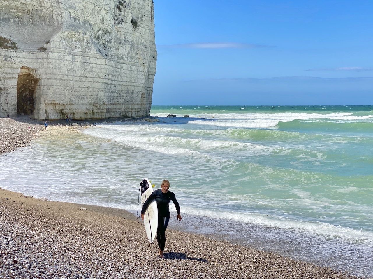
Photo: Noelle Salmi
It was late by the time we got back to the car and we planned to again use our trusty park4night app. Only this time, it let us down. As we approached the next wild camping destination, intimidating signage next to stately homes warned private vehicles to stay away. Apparently the neighbors here had lost their patience with scruffy RVers.
The sun was getting lower and we needed a place to sleep. We’d been scarred by the janky, overpriced RV park in Île d’Oleron (even though Annecy and Saint Lary’s RV lots had been quite scenic) and had taken to wild camping. But it was nearing 9:00 PM, and the wind was howling. We took a chance and drove into the next RV park.
We couldn’t believe our eyes. We were 300 feet above a bay, the sea and the cliffs stretching into the distance. It was late and the RV office was closed, but we found an empty slot on the lush grass, complete with an electrical hookup. Although the wind made outdoor dining impossible, we couldn’t get over the view. Our RV shook overnight in the gale, but when we woke in the morning, the sky was blue and the air still.
My husband went for a run down towards the shore, where he saw two surfers catching waves in the milky, aquamarine water, so-colored due to minerals that leach from the cliffs. He rushed back uphill, threw on his wetsuit, grabbed his shortboard, and made it down in time to carve up a few waves that wrapped around the cliff before the mammoth tidal change would first kill the waves and, by evening, push the water back about 500 yards.
While he surfed, the rest of us ate at a restaurant by the water, then strolled through the quiet village of Yport. Again, a different feel, with dark, solid homes built to withstand North Atlantic storms. We picked up enough vegetables from a small grocer for our last dinner in the RV. The next day we’d depart early, stopping for lunch in Burgundy, on our way back to Switzerland — ever grateful that the last place we’d stayed in our RV was the most beautiful of all.