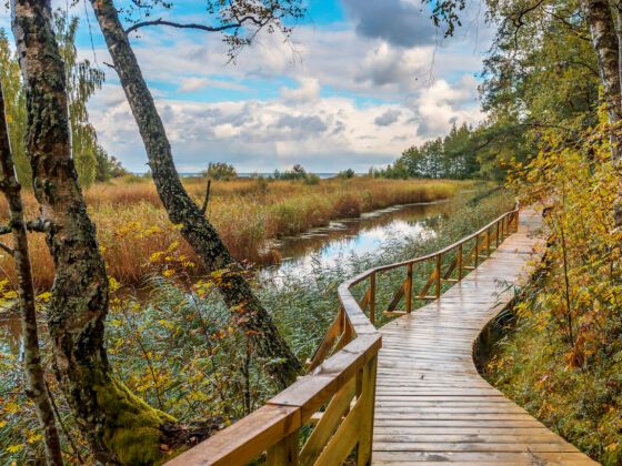
A new hiking route that spans 1,330 miles will link the forests and national parks of Lithuania, Estonia, and Latvia, allowing travelers to explore the Baltic region on foot. The forest trail is divided into segments of 12 miles where travelers can find accommodation and transportation options as they hike across rocky beaches, rolling hills, and steep climbs. The hike across the Baltics begins at the Polish-Lithuanian border near the town of Lazdijai, continues through Latvia, and finishes in Tallinn, Estonia.

It is estimated that the hike will take between 102 and 114 days to complete. It is divided quite evenly between the three countries with 646 miles in Lithuania, 402 miles in Latvia, and 447 miles in Estonia. To navigate the terrain and plan a journey, hikers can download maps and trail plans from the Baltic Forest hiking website. The site details how long each section will take, what the terrain is like, and everything there is to enjoy along the way.
Highlights of the route include Dzūkija National Park and Žemaitija National Park in Lithuanial, celebrated for their incredible landscapes and crystal-clear lakes, and the Kemeri National Park and Gauja National Park in Latvia, famous for their fresh pine trees and wooden bridges. In Estonia there are two national parks worth the visit — Lahemaa National Park, known as the “Land of Bays,” and Alutaguse National Park.
The trail is currently open for visitors provided that they adhere to the COVID-19 regulations. While the project is complete, renovations and further improvements will continue to take place, such as adding fresh new markings and ensuring regular upkeep. For those who have always dreamed of exploring multiple European countries in one go, this hike across the Baltics is an excellent option.