Hiking in the Atlanta area offers the unique perk of visiting many of Georgia’s most famous Civil War-era ruins, often hidden within forested confines. The grizzly Civil War history contrasts with the soothing effects of lush woods, gentle hills, and cascading rivers. Varying in difficulty from short, easy riverside walks to vigorous all-day climbs, these trails are a relaxing escape from the noise and breezeless heat of summer in the big city. Just don’t forget to stay hydrated.
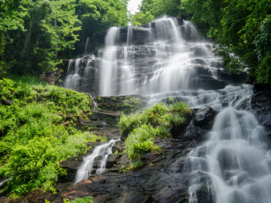
Photo: Kelly vanDellen/Shutterstock
The Best Hiking Trails Near Atlanta
Indian Seats Trail at Sawnee Mountain Park
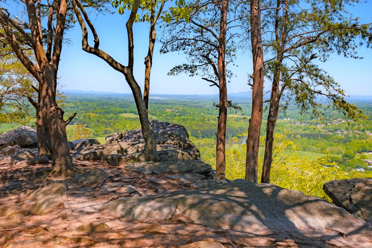
Photo: Exeter_Acres/Shutterstock
This scenic trail is both moderately challenging and your best chance to stand atop a Georgia mountain without venturing too far from the city. Sawnee Mountain Preserve is just under an hour north of Atlanta near the town of Cumming. Indian Seats Trail leads hikers around the side of the hill and up to the summit, offering views of the Blue Ridge Mountains and open expanses of northern Georgia throughout most of the hike. If you want to keep going, plenty of other trails criss-cross the preserve’s 900 acres of protected natural splendor.
Distance: Four miles
Trailhead directions: Take Tribble Gap Road north out of Cumming and follow signs to Sawnee Mountain Park.
Springer Mountain Loop
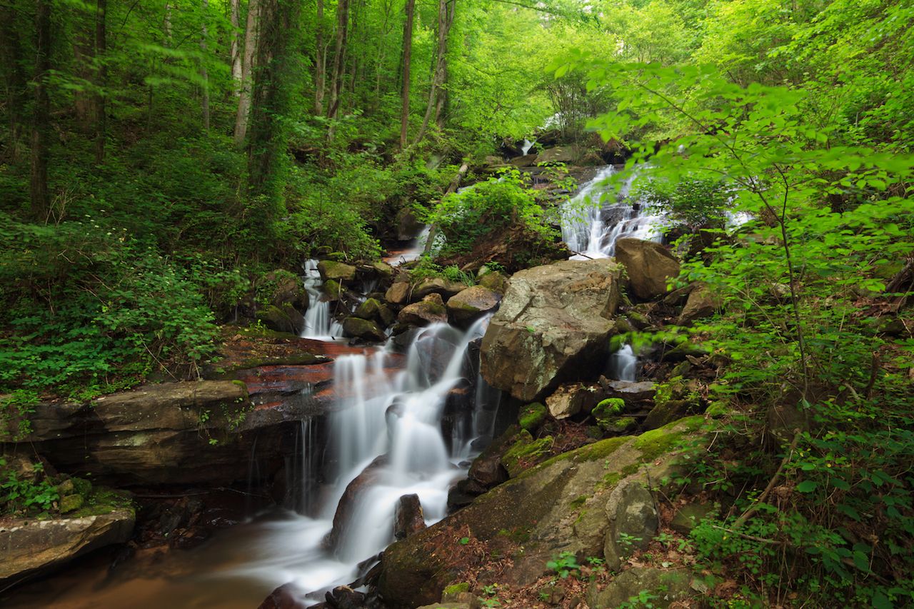
Photo: Kurdistan/Shutterstock
The Springer Mountain Loop actually starts you at a waterfall, though you’re missing the best part if all you do is snap a quick photo and walk back to the car. From Amicalola Falls, the Appalachian Trail departs on its 2,190-mile journey north, and this long day hike gives you a quick taste of what those hardcore through-hikers on their way up to Maine are in for. Start with a brisk climb up a steep set of stairs and then pass into the forest up and over a series of minor hills towards the Hike Inn, following the Benton MacKaye Trail. Here, stop for a free cup of coffee and pull your packed lunch out of the pack, as the inn is just about halfway through the hike and a perfect place to stop.
Distance: 17-mile loop trail
Trailhead directions: Parking for the trailhead is located on a forest service road off Winding Stair Gap Road, about two hours north of central Atlanta. Be sure to Google Maps this one, as it’s among the more difficult trailheads to find. The rewarding views are worth the effort, though.
Kennesaw Mountain
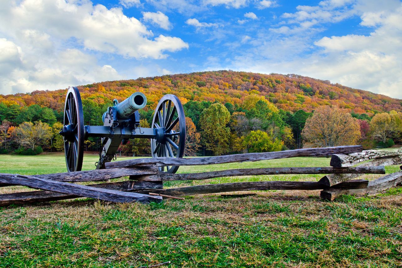
Photo: Rob Hainer/Shutterstock
If you’ve never seen an old military cannon position, get yourself out to Kennesaw Mountain. The battle for Atlanta went down here, and the base of the mountain is home to the Kennesaw Mountain National Battlefield Park. Over the course of just under six miles, you’ll pass old Civil War cannons on your way to the 1,778-foot summit of the mountain. The loops along the forested side along the Camp Brumby Trail back to the parking lot over the course of just a couple hours.
Clearly marked trails twist their way around the mountain, with the summit and circumference route easy to follow. Along the way, you’ll also see a few well-marked offshoots to venture out away from the other day hikers. The trail and parking lot tend to fill up early, especially on weekends, though there is an overflow parking lot that will make the overall hike just a little longer.
Distance: 5.9 miles
Trailhead directions: The parking lot and trailhead are located just off Old 41 Highway NW, about 30 minutes from downtown Atlanta.
Cascade Springs Nature Preserve
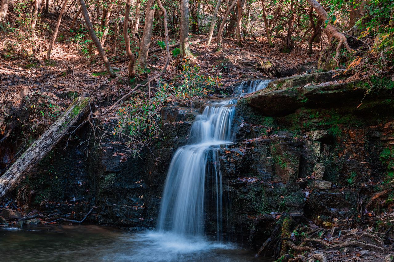
Photo: claprath/Shutterstock
Here is where you can get your waterfall fix without even having to leave the city to find it. Cascade Springs Nature Preserve is located in southeast Atlanta. An easy path departs from the parking lot, leading to the waterfall just 1.3 miles down the trail. Along the way, keep your eyes peeled for war ruins amidst the woodsy enclaves. You may also spot a turtle or two as you meander along the stream en route to the cascade.
The war ruins reflect that this was the site of The Battle of Utoy Creek, which was fought between Confederate soldiers and the approaching Union Army in August of 1864. Over 850 soldiers lost their lives here over the course of three bloody days. The gruesome history belies the relatively easy, enjoyable hike you’ll be doing towards the lovely falls.
Distance: 1.6 miles, out and back
Trailhead directions: The parking lot is located just off the intersection of Veltre Circle SW and Cascade Road SW, with obvious signage as you enter the preserve.
Sweetwater Creek State Park
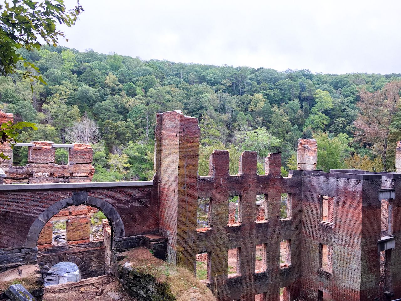
Photo: jamie_jeff/Shutterstock
Just west of the city, Sweetwater Creek State Park offers four miles of trails to hikers looking for a decent workout. The draw here is the forested acreage alongside the creek itself, providing a welcome respite from the summer heat and an escape from the motor-driven sounds of the city just beyond the park’s borders. The park is home to historic mill ruins that have stood on the site since the Civil War. You can pass right by these ruins on the trail and can photograph them to prove you actually made it OTP — which means “outside the perimeter” and is Atlantan for anything beyond the city’s ring road.
Distance: Varies
Trailhead directions: Turn onto Factory Shoals Road from Mt. Vernon Road, south of I-20, and enter the park at the signed entrance.
Chattahoochee River National Recreation Area
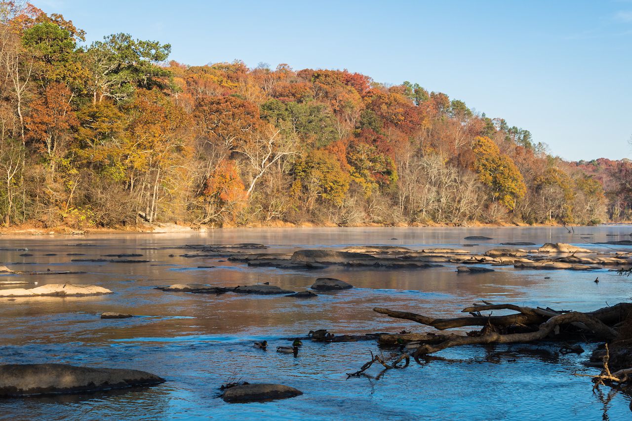
Photo: Straystone/Shutterstock
More of a collection of parks than a specific hiking trail, Chattahoochee River National Recreation Area is where to go if you’re with a group of people of varying hiking ability and interest. The area is a protected series of green spaces alongside the Chattahoochee River that offer everything from hiking to rafting and biking, as well as some of the area’s best fishing.
Some of the many forested hiking trails along the river include the Sope Creek Trail, a 1.5-mile jaunt to the ruins of an old Civil War-era paper mill, and the trails in Jones Park Bridge and the Medlock Bridge area. For a more challenging excursion, start at the Powers Island Trailhead and hike to the paper mill ruins and back, an eight-mile trek that passes through both forest and waterside fishing spots. No matter which hike you choose, at no point will you be asked to spell the name of the recreation area.
Distance: 1.5 to four miles
Trailhead directions: The Paper Mill Ruins Trail begins just off Paper Mill Road. Pull off onto the access road and find parking near the trailhead.
East Palisades Trail
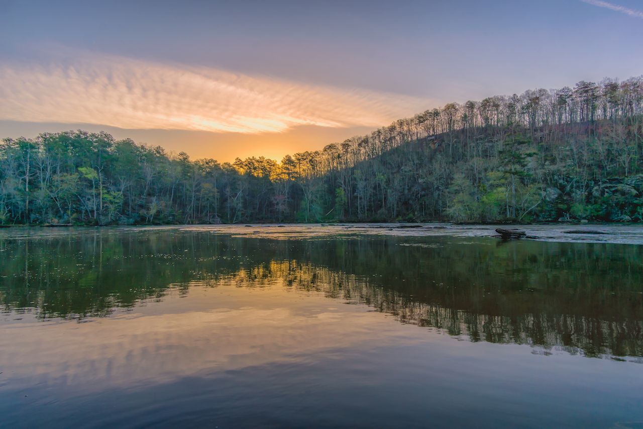
Photo: Bradley Huchteman/Shutterstock
The Palisades are part of Chattahoochee River National Recreation Area, but they’re literally just outside the city limits. The East Palisades Trail is one of the few trails near Atlanta where you can actually get a bit of incline-driven cardio in as you hike up a set of bulbous bluffs to enjoy city views in one direction and bamboo forest in the other. This area is generally far less crowded than the West Palisades Trail, both because it isn’t paved and because it actually requires a bit of conditioning to complete. The views and the journey towards them are worth the effort — especially if your phone camera can take a 360-degree panoramic photo from the top.
Distance: 3.4 miles
Trailhead directions: The trailhead begins on Indian Trail NW, which you’ll access from Northside Drive NW, due east of the I-75 and I-285 mousetrap. ![]()