SAN FRANCISCO’S WESTERN EDGE is essentially one massive beach with sand dunes and scary waves; hidden beach coves dot the coast in and near the city, and you can spend an hour or a whole day hiking hair-raising trails on rugged cliffs. Even on those No Cal beach days that call for down jackets — not swimsuits, the SF shoreline is worth exploring.
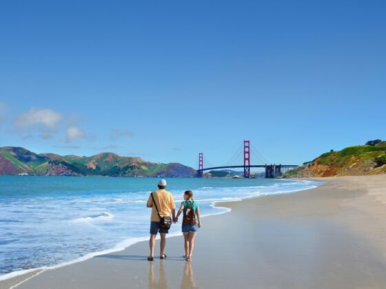
Photo: Margaret Wiktor/Shutterstock
San Francisco's Best Beaches and Spectacular Coastal Hikes
Beaches
Baker Beach
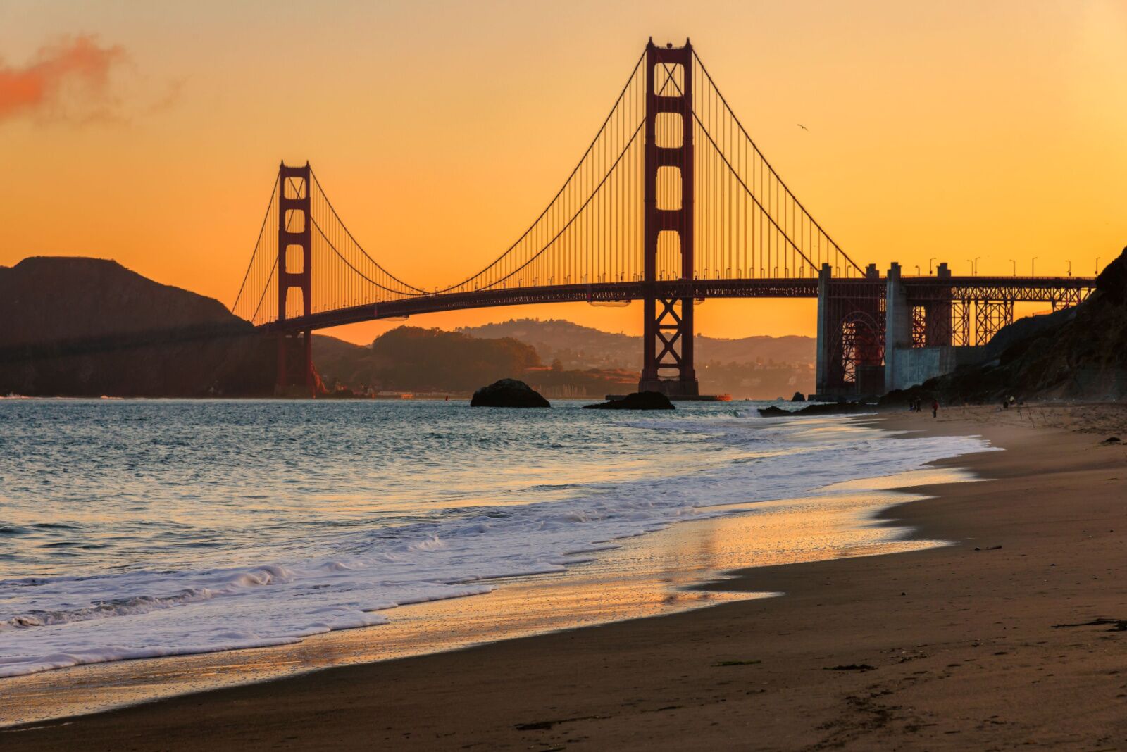
Photo: Lucky-photographer/Shutterstock
This medium-sized beach at the north end of San Francisco has huge views of the Marin Headlands and the Golden Gate Bridge to its east. The slope to the west holds multi-million-dollar homes. Since Baker Beach faces north, it’s spared some of the intense waves that batter Ocean Beach. Like other SF beaches, the weather can be sub-optimal for stripping down to a bikini or board shorts, but it’s a beautiful, less crowded beach that’s worth checking out.
Bolinas
Bolinas Beach lies an hour by car from SF, but it’s a glorious drive over the coastal hills and along the Bolinas Lagoon populated by birds and seals. When it’s foggy everywhere else, Bolinas can also be the only shoreline with sunshine. The beach is tiny and, when the tide is very high, hard to get to. In fact, the whole town can be hard to get to, since the hippie residents who live there tear down any road signs showing the way. Cell coverage is spotty, but your GPS can usually get you there.
Crissy Field
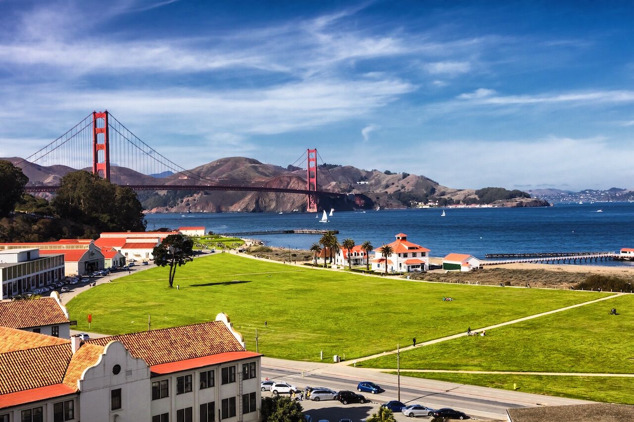
Photo: kropic1/Shutterstock
Locals and visitors usually hit this stretch along the SF Bay to run, stroll, or snap selfies with the Golden Gate Bridge. But, weather permitting, Crissy Field holds a couple of small, sandy strands that can be a stand-in for a bigger, more classic beach. Mornings are best, provided the fog has burned off, as afternoons tend to be windy. If you do arrive in the afternoon, you’ll see kite boarders launching from Crissy Field East Beach, braving icy waters and massive cargo ships bound for the Port of Oakland. East Beach is larger and the sand is whiter, but GG Bridge selfies are better from West Beach Crissy Field if that’s your thing.
Muir Beach
Muir Beach is west of Muir Woods National Monument, home to old-growth redwoods that are several hundred years old and stand 250+ feet tall. Muir Beach is also a great nature spot, as wetlands, a lagoon, and dunes come together here in a cove sliced into a wooded part of the Marin Headlands. Take in a view of the Pacific at Muir Beach overlook and then head to the Pelican Inn for an afternoon snack.
Ocean Beach
This stretch of coastline is so often foggy, and the waves so menacing, that San Francisco doesn’t really have the same beach culture you’d find in So Cal. Most OB regulars are joggers, dog walkers, and wetsuit-clad surfers. Rip Curl even hosted a major world surf championship here in 2011. But on a clear summer day, Ocean Beach Fire Pits is the place to be. Fortunately, the beach is so big that even on those rare hot days when seemingly all of SF descends on OB, there’s lots of space to plunk down a towel. Summer swells tend to be much calmer than at other times of the year, but swimming caution is still advised. Frigid sneaker waves have taken lives.
Pacifica Linda Mar
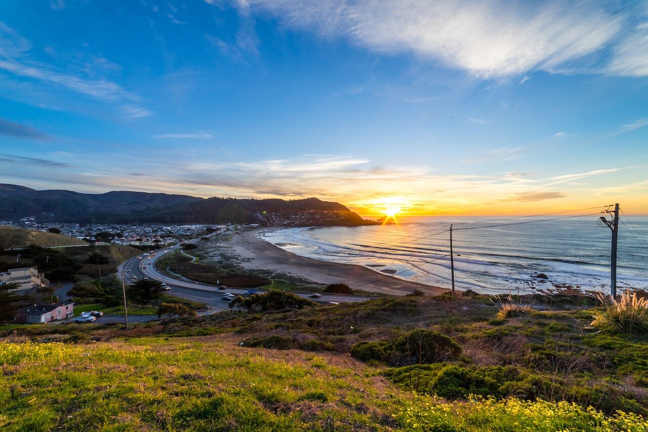
Photo: T Waterman/Shutterstock
Families living nearby bring their young kids to play at this beach just south of SF city limits, and Pacifica locals might come to smoke a cigarette and gaze at the sea, but everyone else at this slightly rocky, grey sand beach comes for the surf. Surf conditions at Linda Mar Beach are rarely great, but they’re often good enough. A large hill on Linda Mar’s south side keeps away the massive rollers that can make Ocean Beach a truly scary place to surf; the topography also often makes Linda Mar a pocket of sunshine amidst the fog.
Rodeo Beach
You access Rodeo Beach through a one-lane tunnel just north of the Golden Gate Bridge to Fort Cronkhite. It is unlike other California beaches in that it doesn’t have sand; it’s made up mostly of dark green and gray pebbles. It used to have lots of crimson Carnelian pebbles as well; all but a few of these bright red semi-precious stones have long since been picked up by collectors.
Stinson Beach
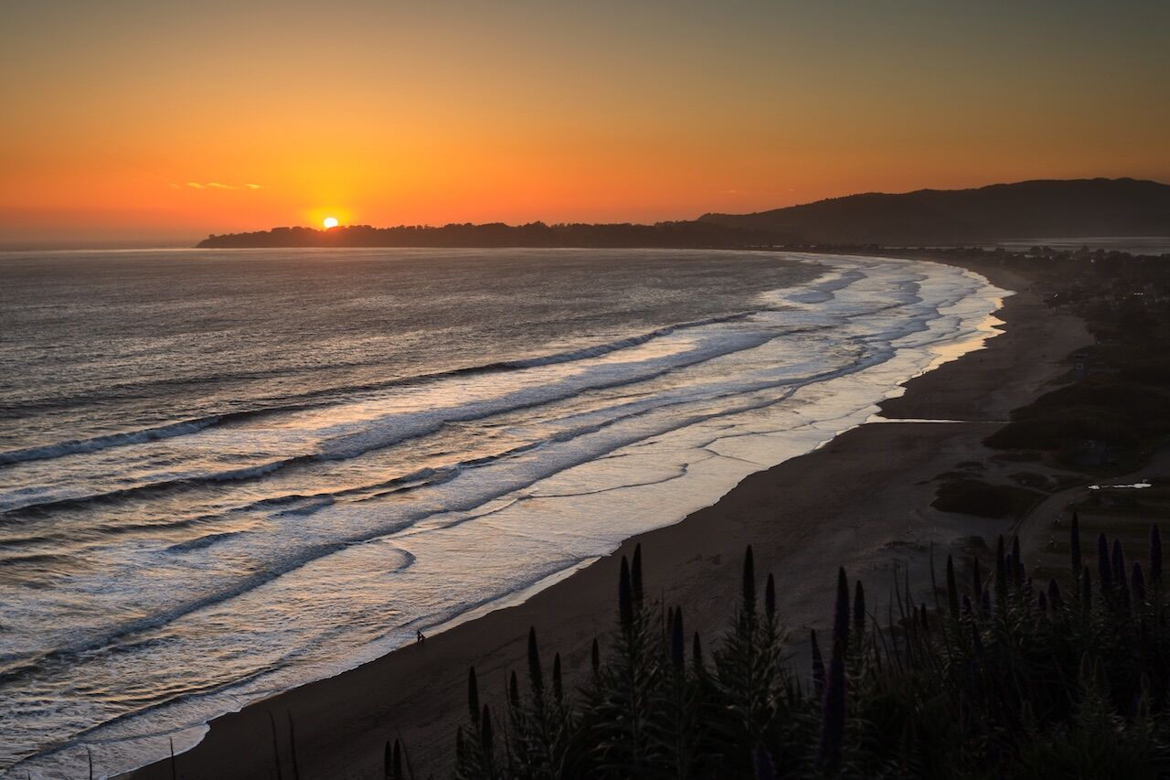
Photo: Pete Niesen/Shutterstock
After negotiating the winding road over the coastal mountains north of the GG Bridge, you’ll arrive at Stinson Beach. While not Caribbean white, the sand there is clean and soft. Even though you’ll likely need a wetsuit, the waves are often perfect for swimming and boogie boarding. You might still get morning fog (or all-day fog in late July/August) but the mountain backdrop is lovely and Stinson town has a few places for a post-beach break. We recommend lunch on the beach itself at the family-owned The Siren Canteen by the lifeguard stand. It looks like a regular beach shack, but the burgers are all natural and the fish tacos super fresh.
Tennessee Valley Beach
The beach at the end of the Tennessee Valley Trailhead is a cove framed on either side by hills. Tennessee Valley Beach is a perfect place for a post-hike picnic. You can pick up picnic supplies at Good Earth Natural Foods in Mill Valley.
Coastal hikes
California Coastal Trail
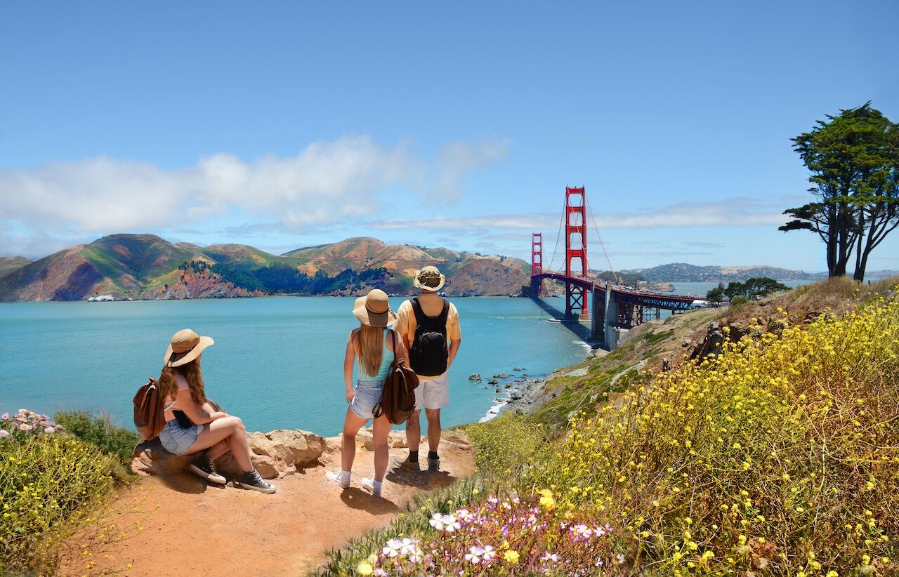
Photo: Margaret Wiktor/Shutterstock
The Coastal Trail runs along many sections of the state’s coastline. You can walk it in across the length of Ocean Beach Fire Pits. Or you can pick it up on the north side of the Golden Gate Strait, where it heads out to Rodeo Beach, then up to Tennessee Valley Beach, then Pirates Cove, and then to Muir Beach. The hike there takes you up and down hillsides, some grassy and windblown, others wooded. One good place to check out a portion of the trail is at Rodeo Beach, where you can do a loop to the Wolf Ridge and Miwok Trails and back.
Dipsea Trail
Every June, 1500 people run this 7.5-mile trail over the coastal hills from the town of Mill Valley to Stinson Beach. “The Dipsea,” as the century-old race is known, is America’s oldest trail race and may well be its most treacherous, as runners edge past each other on steep, narrow, root-rutted paths. When the race isn’t on, you can take your time hiking these paths and enjoying the ocean views. We recommend starting the Dipsea Trail at Stinson Beach; you can turn around and come back when you’re feeling tired, and grab a beer at the Sand Dollar bar. There’s no need to head all the way to Mill Valley and back for a 15-mile trek — unless you’re running the “Double Dipsea” race one week after The Dipsea. (The Quad Dipsea race is in November).
Fort Funston
This former military installation on San Francisco’s southern border sits atop 200-foot-high, windswept bluffs that are a popular take-off spot for hang-gliders who land at the southern end of Ocean Beach Fire Pits. Rope ladders can help you get down sand dunes to the beach itself. Inland from the beach, the forested Fort Funston trails are the only ones in the Golden Gate National Recreation Area where you can legally keep your dog off-leash. Just behind Fort Funston is Lake Merced Park.
Golden Gate Park
Photo: wulfman65/Shutterstock
This massive city park modeled on New York’s Central Park is three-mile long and over half-a-mile wide. Golden Gate Park is crisscrossed with trails that take you through densely wooded areas and alongside lakes, such as the Stowe Lake Trail or the aptly named Golden Gate Park Trail.
Lake Merced
Part of San Francisco’s network of city parks, Lake Merced Park has a freshwater lake inside a 600+ acre park at the foggy south end of the city. The park has a boathouse, fishing area (CA fishing license required and hours limited), and a walking/biking path around the lake. An urban hike around the outer edge of the park is just over 4 miles.
Lands End
If you only have time for one hike in SF, make it the Lands End Trail. It’s easy to get to — the 38-Geary bus ends right at the [CLOSED] Lands End Lookout Visitor Center — and the views of the Marin Headlands, the eastern face of the Golden Gate Bridge, and the Pacific Ocean far below are worth the trip. The hike is 3.5-miles. A tricky detour midway through takes you to a flat area jutting into the sea, where you can walk a labyrinth laid out with small stones. Most of the trail is flat, with only two uphill sections eased by wooden stairs. Weekends, Lands End Trail is full of families and friends out for a walk. It’s more exciting to run the trail, as some high school cross-country teams do.
Matt Davis Trail
Starting right in Stinson Beach, the Matt Davis Trail is a less-traveled alternative to the Dipsea Trail. It will take you through dense trees before opening up onto a grassy expanse high above the Pacific Ocean. If you keep going on the Matt Davis Trail, taking the Ridgecrest and then Rock Spring trails, you’ll end up at the West Point Inn, an off-the-grid lodge and cabins with great views of San Francisco, the Marin Headlands, and the Pacific. (In summer, you have to reserve rooms at the West Point Inn well in advance, and pack in your own food. Refrigerators running on solar power allow you to store it when you arrive).
The Presidio
Photo: Bryan Kelley/Shutterstock
The Presidio, a national park within city limits, has 24 miles of trails. The Battery to Bluffs Trail runs over cliffs above the Pacific from Baker Beach to the Golden Gate Bridge, while the Ecology Trail winds up at the Inspiration Point Overlook, with a view of Alcatraz and the SF Bay. You’ll also be close to the Spire by Andy Goldsworthy, an eerie monument made with the trunks of dead eucalyptus trees.
Steep Ravine
The Steep Ravine Trail is best accessed via the Matt Davis or Dipsea Trails. In fact, a popular hike starting and ending in Stinson Beach includes a Matt Davis-Dipsea-Steep Ravine loop. Of the three connecting trails, densely wooded Steep Ravine has the best scenery, with stairs and bridges helping you to get over and around the ravine that is its namesake.
Tennessee Valley
The gentle Tennessee Valley Trailhead just north of the Golden Gate Bridge draws all kinds of walkers, including runners and young families with jog strollers. The 1.7-mile dirt path is nearly flat, winding between grassy hills to end up at the spectacular Tennessee Valley Beach, a sliver of beach framed by weathered rock formations. ![]()