Taking a scenic Texas road trip is an unforgettable experience. There’s a feeling of endless possibility that comes from being in such an expansive and magnificent place. Maybe it’s the wide open spaces, the rolling hills, or the way the light casts a golden glow over everything. Or perhaps it’s the scenic drives that wind through canyons and along rivers, offering a constant surprise around every corner.
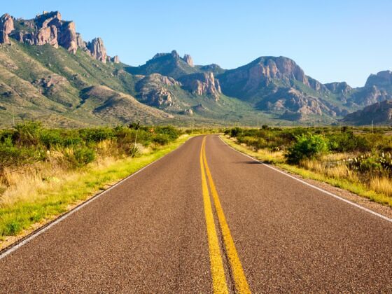
Photo: Zack Frank/Shutterstock
These 10 Scenic Byways Are Some of the Most Beautiful Road Trips You Can Take in Texas
There are a wide variety of scenic loops and byways in the Lone Star State, each offering a unique view of the land. Whether you’re driving through Big Bend National Park or along the Gulf Coast, the natural splendor of Texas will impress you. From the bluebonnets of spring to the golden fields of summer, the Texas landscape is full of natural wonders waiting to be discovered. So grab keys, slide on your favorite pair of shades, and crank the music.
1. Lonesome Highway
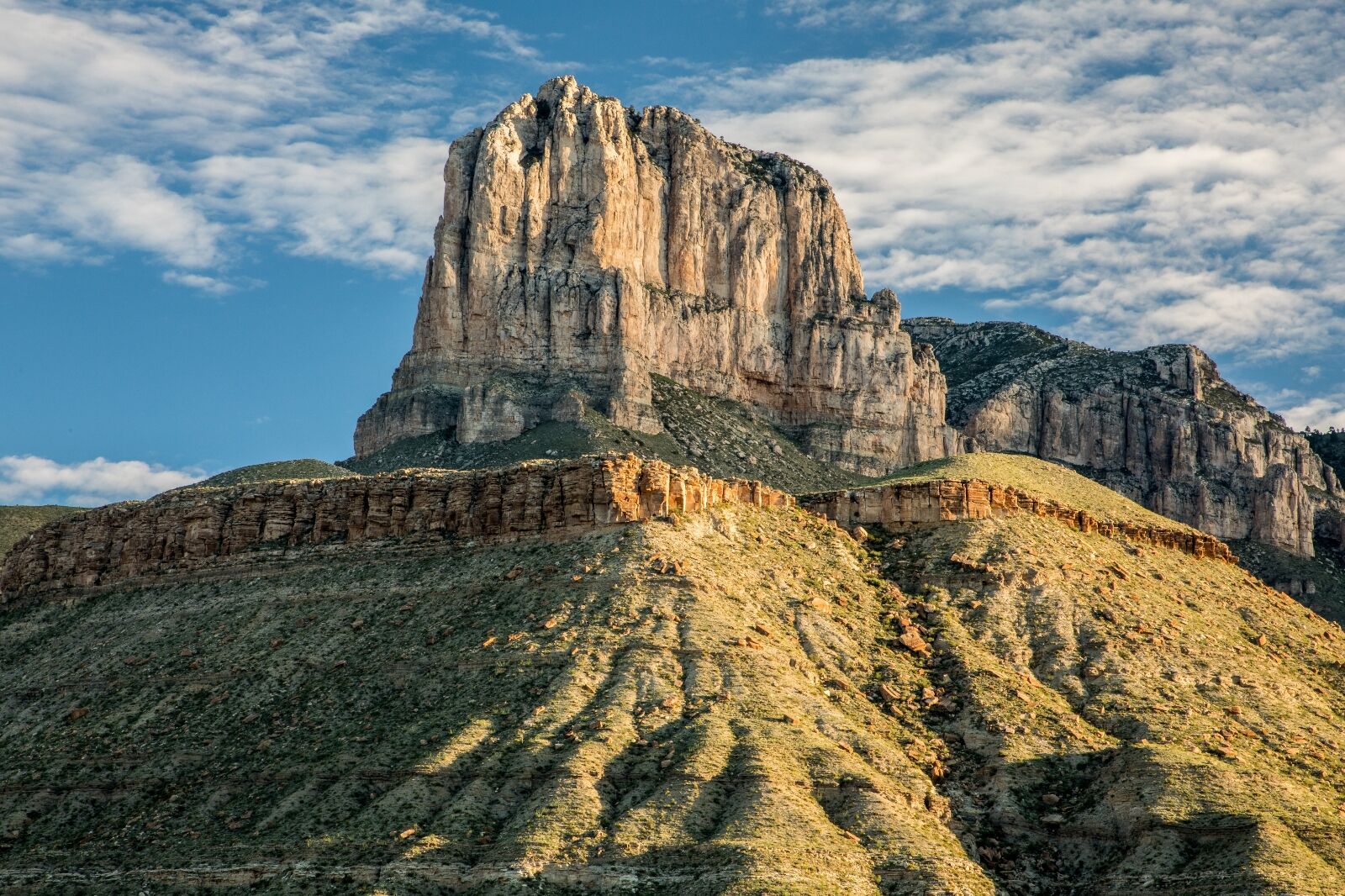
Photo: ShuPhoto/Shutterstock
The Guadalupe Mountains of West Texas serve as the scenic backdrop for this otherwise sparsely populated stretch of highway that rolls along from El Paso to Carlsbad, New Mexico, and beyond. It’s roughly 150 miles of open road and Texas natural beauty that you can have all to yourself.

Photo: Travel Texas
If you begin in El Paso, head east out of town on US Highway 180 / 62, and once you reach the city limits, you’re set. Hit the cruise control, roll the windows down, and settle in for a ride that glides along with the land, giving you a chance to enjoy the drive and let your soul settle a bit.
Photo: Travel Texas
The byway briefly takes you into the Guadalupe Mountains National Park, so take your time and stop as often as you like for photo opportunities of the Salt Flats, El Capitan, Guadalupe Peak, and the Salt Basin Overlook.
The Lonesome Highway eventually takes you into New Mexico, but if you stay on it long enough, you’ll end up cutting back into Texas and on your way to the Fort Worth area. Make sure to fill up with gas and bring plenty of snacks and water because it’s called “Lonesome Highway” for a reason. There aren’t many facilities around.
Best time of the year to go: Spring
Notable stops:
- Flying Saucer Building
- Salt Flats
- El Capitan Lookout
- Pine Springs Visitor Center
- Salt Basin Overlook
- Frijole Ranch Cultural Museum
- Devil’s Hall
- “Welcome to Texas” sign at the Texas-New Mexico border
2. Bluewater Highway

Photo: Travel Texas
Time to stretch your sea legs and let the salt air rejuvenate your spirit as you cruise down nearly 40 miles of open road along the Gulf of Mexico. The Bluewater Highway takes you on a near-spiritual journey from the lights of Galveston to the gently rolling waves and sandy shores of Surfside Beach.

Photo: Travel Texas
The drive is a straight shot and hard to miss as San Luis Pass turns into Bluewater Highway as you get to the San Luis Pass Toll Bridge. Yes, it’s a bit of a bummer that this scenic drive requires a toll, but the price is worth it as you soak in the Texas sun while making memories along the coast.
Grab your flip-flops, slide your shades on, slater your nose in sunscreen, and crank up the Jimmy Buffett playlist because you’ve got unobstructed views of the gulf and pristine shoreline that is begging for you to put your toes in the water and butt in the sand forever — or at least for a few hours.
Best time of the year to go: Spring and summer
Notable stops:
- Kelly Hamby Nature Trail Park
- Brazoria County Beach
- Surfside Beach
- Stahlman Park
- San Luis Beach
- Terramar Beach
- The Kettle House
- Moody Gardens
- Schlitterbahn Waterpark Galveston
- Galveston Island Historic Pleasure Pier
- Galveston Seawall
- Galveston Historic District
3. The Devil’s Backbone
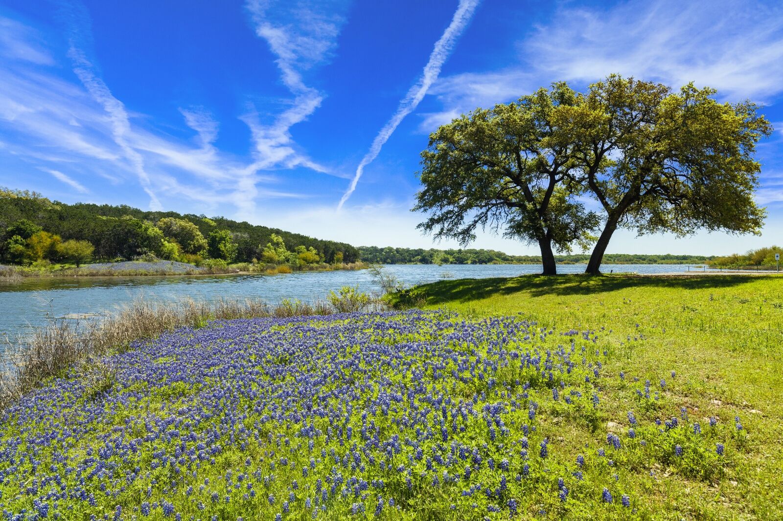
Photo: Fotoluminate LLC/Shutterstock
The Devil’s Backbone is a nearly 50-mile trek consisting of Texas Farm Roads 12, 165, 2325, and 32 to form a loop that carves a winding path through the Texas Hill Country. Thousands of visitors are drawn to the Devil’s Backbone every year to look at the mesmerizing vistas while stopping for taste tests at the wineries, brewhouses, and distilleries that dot the map.
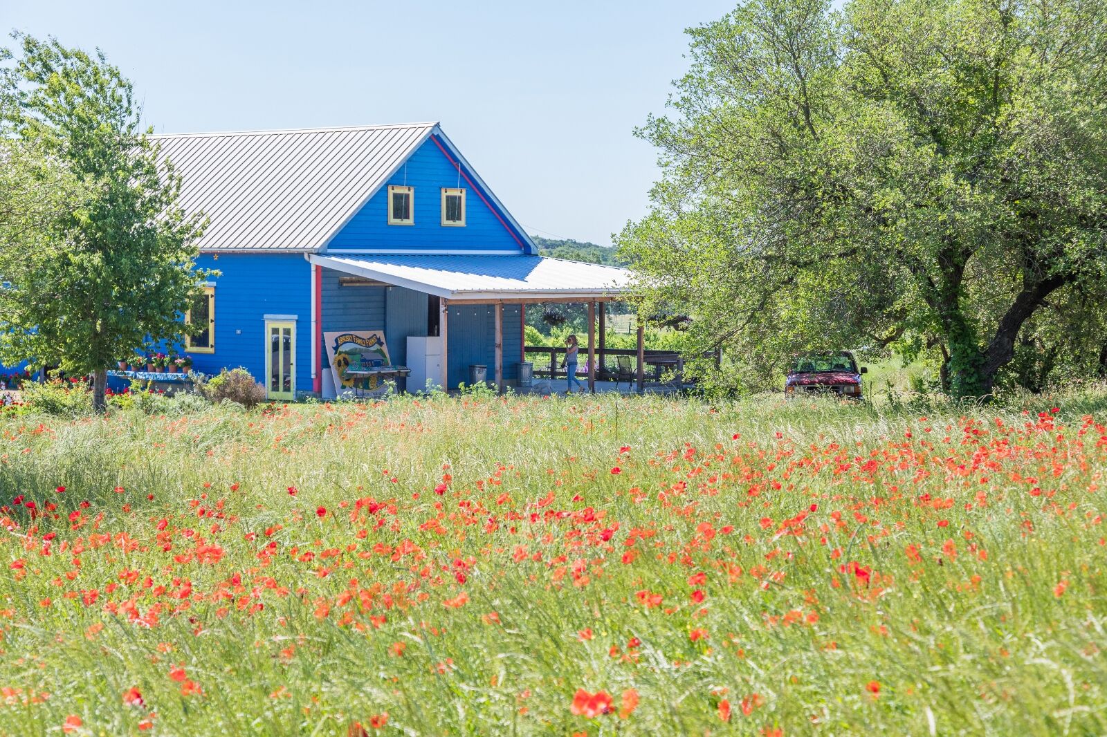
Photo: Travel Texas
Beginning in Wimberley, head northwest on Texas Farm Road 2325 to Farm Road 165 until you hit Blanco. Then, set out again on Farm Road 32 until it meets Farm Road 12 heading north, and you’ll end right back in Wimberley.
Locals claim that the area is haunted, so you’ll want to be on the lookout for spirit horses, long-dead Confederate soldiers, and other things that may go “Yee Haw!” in the night. One thing is for sure, though, the Devil’s Backbone may have a wicked name, but the heavenly views along this Texas Hill Country drive make it one of the most stunning scenic byways in the state.
Best time of the year to go: Year round, but especially green in the spring after solid rain during the fall and winter.
Notable stops:
- Jacob’s Well Natural Area
- Fischer Dance Hall
- Cypress Falls Swimming Hole
- Cowboy Museum
- Blanco State Park
- Old Blanco County Courthouse
- Buggy Barn Museum
- Wimberley Zipline Adventures
4. Ross Maxwell Scenic Drive
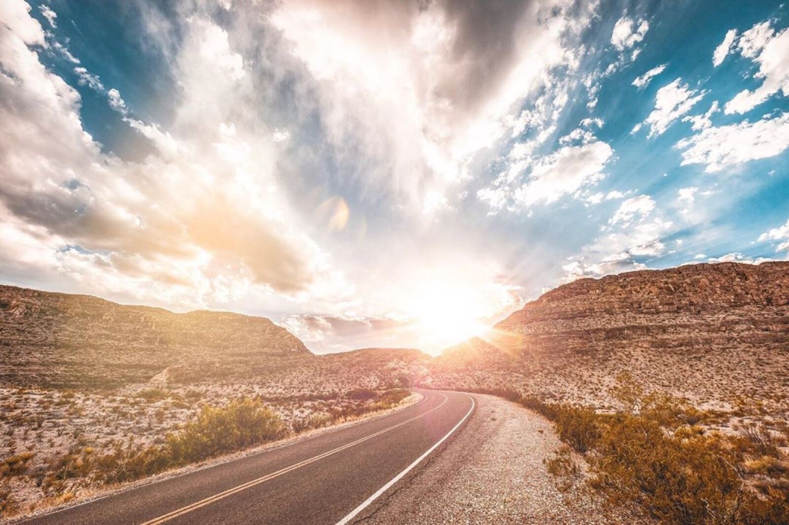
Photo: Travel Texas
Nestled in Big Bend National Park, the Ross Maxwell Scenic Drive is a must-visit for any nature lover. The scenic drive, which spans 30 miles, was named after the park’s first superintendent Ross Maxwell. It takes visitors on a journey through some of the most impressive landscapes in the area.
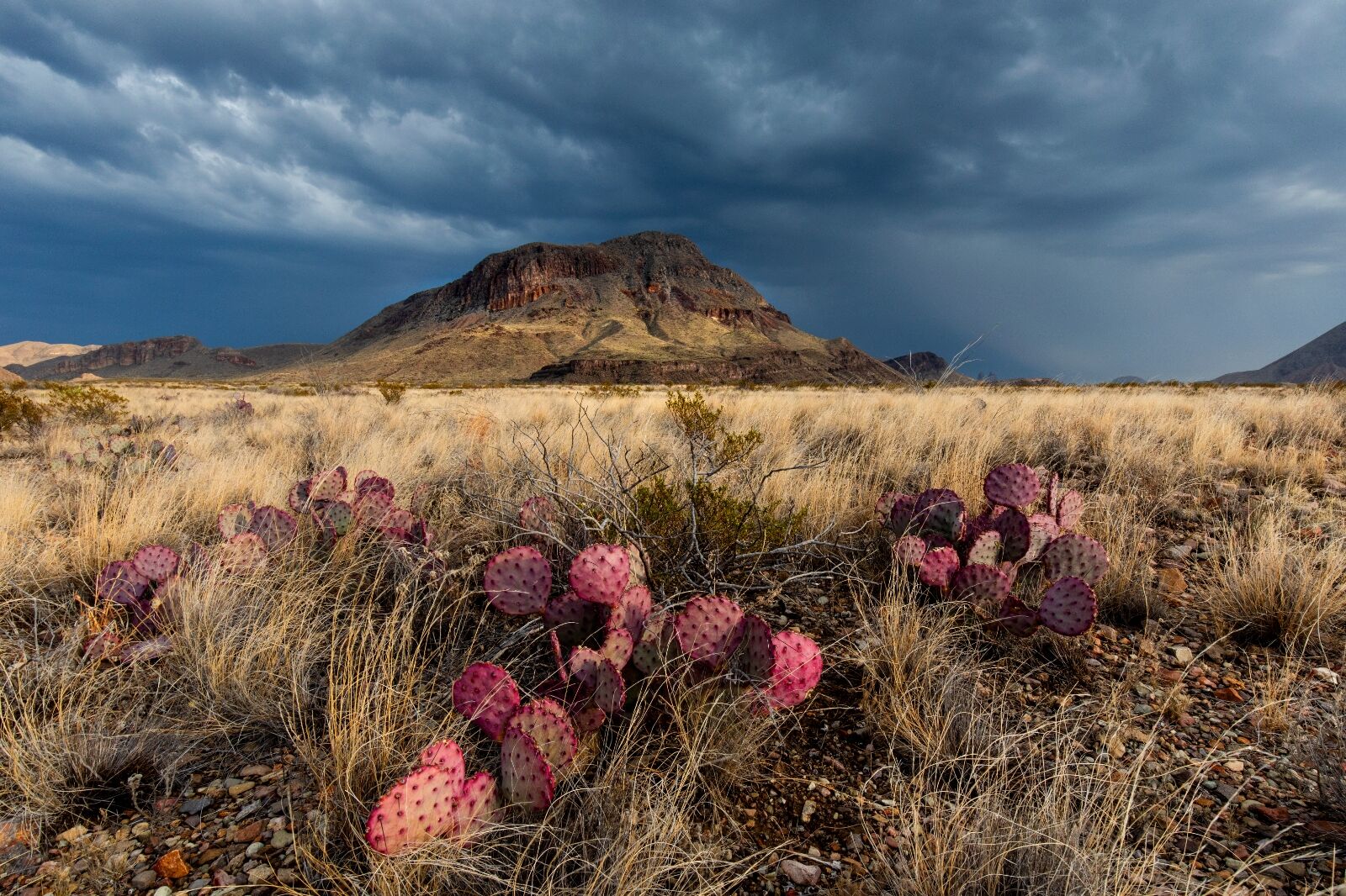
Photo: Travel Texas
Along the way, visitors can take in sweeping views of the Chisos Mountains, Rio Grande River, and Santa Elena Canyon. The drive also passes by several important historical sites, including the Sam Nail Ranch and the Castolon Historic District.
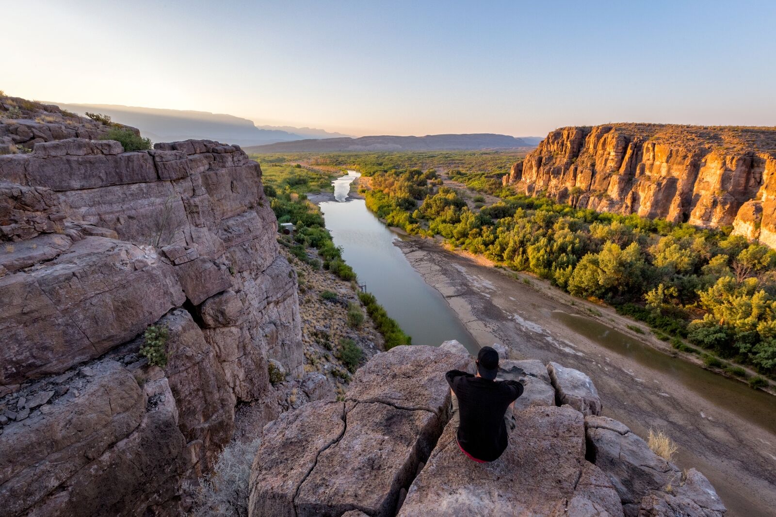
Photo: Travel Texas
To find the Ross Maxwell Scenic Drive, follow the main road of Big Bend National Park, Gano Springs/Panther Junction Road (about 15 miles east of Terlingua), and you’ll find it marked on the left. The drive is roughly 30 miles in and 30 miles back out again.
Best time of the year to go: Year round
Notable stops:
- Sam Nail Ranch
- Blue Creek Ranch Overlook
- Santa Elena Canyon
- Castolon Historic District
- Homer Wilson Ranch
- Goat Mountain Observation Point
- Tuff Canyon Overlook
- Mule Ears Viewpoint
- Old Maverick Road
5. Texas Swiss Alps Scenic Drive

Photo: Dean Fikar/Shutterstock
The Texas Swiss Alps Scenic Drive is an unparalleled look at the majesty of Texas Hill Country. The drive is approximately 85 miles if you loop back and can be completed in a few hours, but you’ll want to plan an entire day (or two) for the excursions and points of interest.
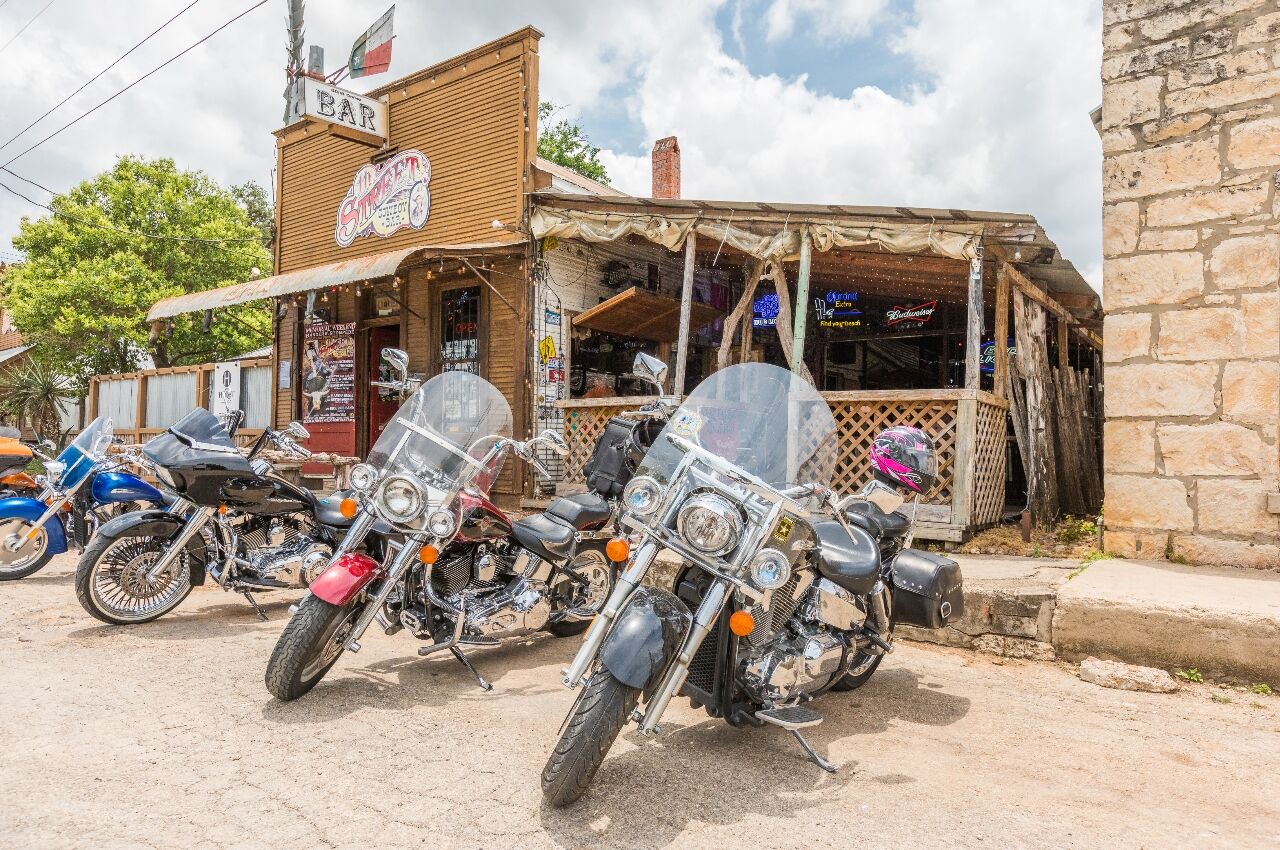
Photo: Travel Texas
The drive begins in the Cowboy Capital of the World, Bandera. Any time you find an excuse to visit Bandera, you take it and run, so after you’ve had your fill of TJ’s at The Old Forge or the Old Spanish Trail Restaurant, you’ll want to head north on Highway 16 towards Medina. From Medina, head west on Highway 337 to Vanderpool, then south on Highway 187, which takes you to Highway 470, where you’ll go east back to Bandera by way of Tarpley.
Of course, all along this route are exciting places to stop and explore or side streets to meander down, which is why you’ll want to plan on spending multiple days in the area. And while it’s not quite the Swiss Alps, you’ll still take in breathtaking scenery as the road guides you through the Texas hills.
Best time of the year to go: Spring
Notable stops:
- Main Street, Bandera
- Hill Country Natural State Area
- Lone Star Motorcycle Museum
- Lost Maples State Natural Area
- Love Creek Orchards
- Bandera Natural History Museum
- Garner State Park
Frio Bat Flight Tours
6. Pineywoods Autumn Trail
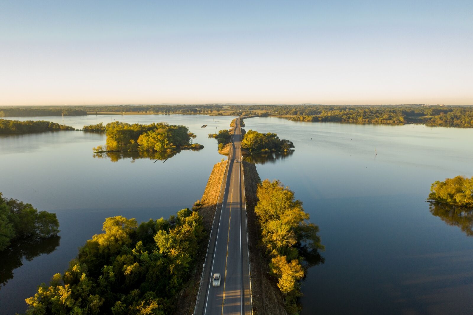
Photo: Travel Texas
The Pineywoods Autumn Trail is Texas’ nearly 150-mile answer to the fantastic foliage trails along the East Coast. As hot Texas summers give way to cooler temperatures, dynamic colors begin to burst onto the East Texas woodlands panorama.
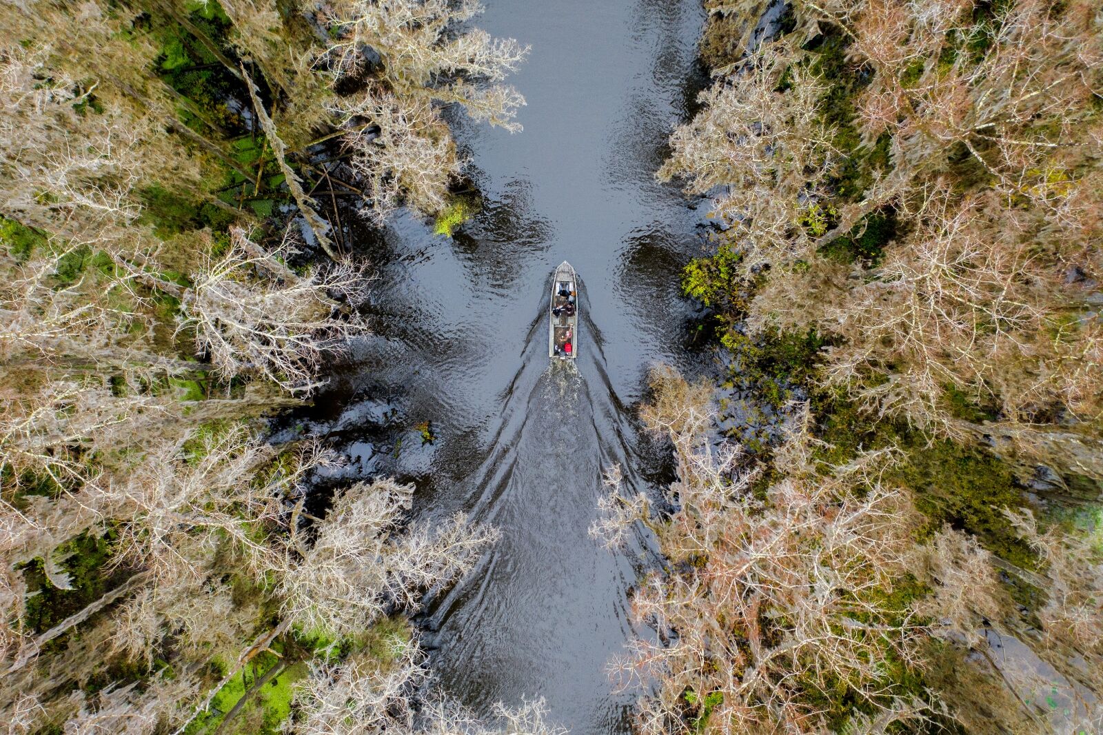
Photo: Travel Texas
Start your journey in Palestine and head north on Highway 19 to Athens before taking a right onto Highway 175 back down to Poynor. Head south on Highway 315 to make your way back to Palestine. That’s the main route, but there are offshoots such as taking FM 317 north in Athens to Leagueville and heading down to New York (Texas) before circling back to Highway 175.
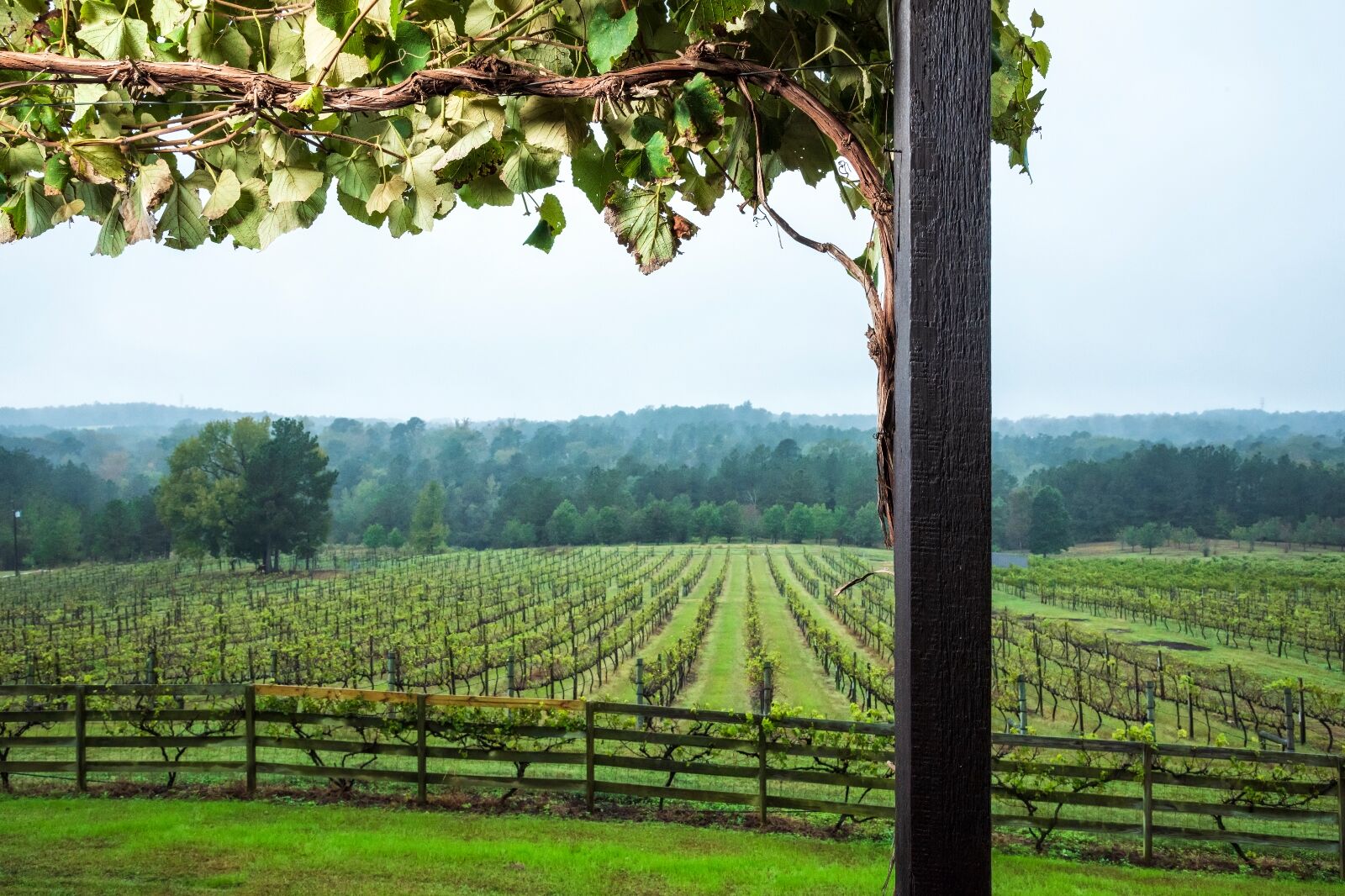
Photo: Travel Texas
Thousands of guests visit the area each year to have their fill of miles of hiking and biking trails, picnics among the tall trees and take part in family photo shoots while wearing layers and layers of flannel.
Best time of the year to go: Fall
Notable stops:
- The East Texas Arboretum
- Palestine Community Forest
- Texas Freshwater Fisheries Center
- Lake Athens
- Davey Dogwood Park
- Palestine Visitor Center
- Texas State Railroad
7. Highway 207 (Palo Duro Canyon)
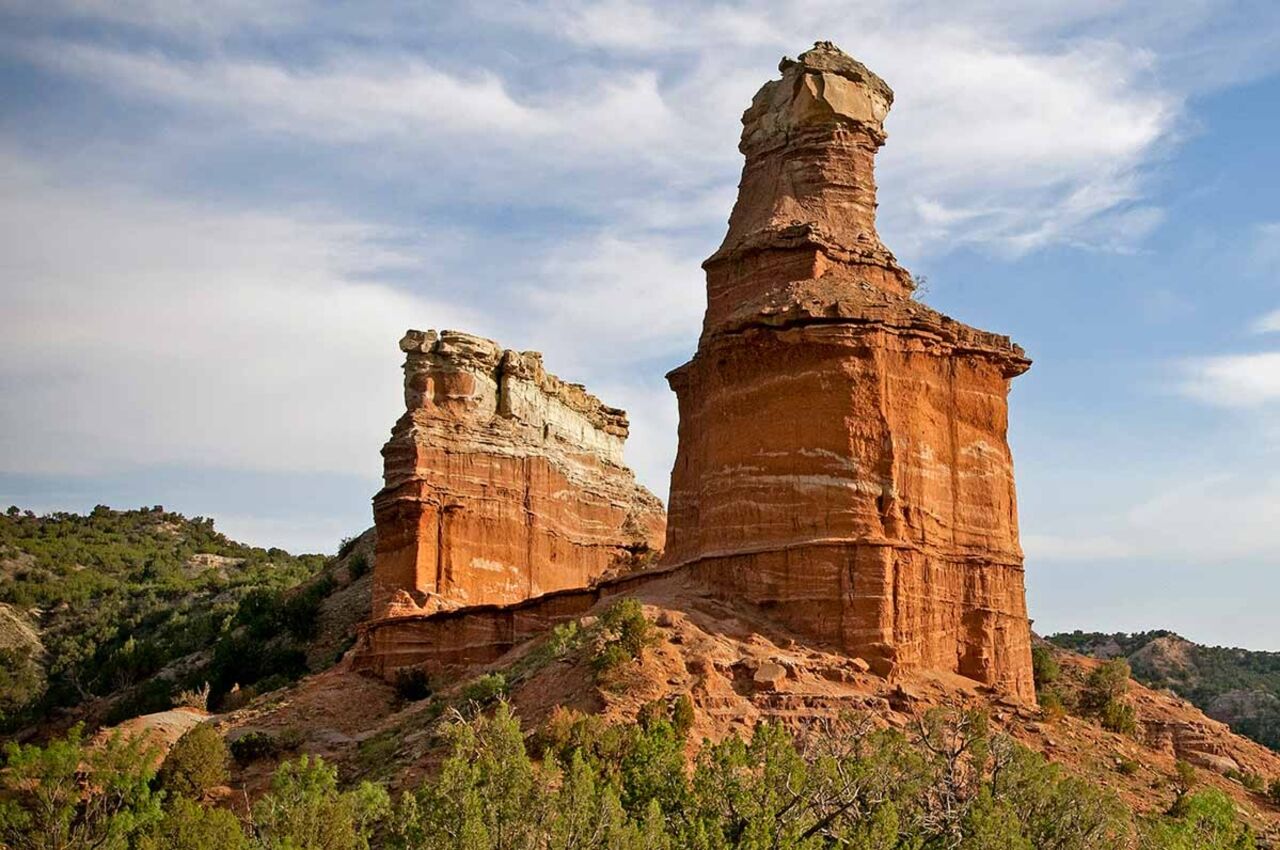
Photo: Texas State Parks
While it’s true you can take a scenic drive through a part of Palo Duro Canyon outside of Amarillo, locals might be quick to tell you that the most picturesque settings can be found by traveling Highway 207 south to Silverton.
The trails begin outside of Claude and roll along for nearly 50 miles until ending near Silverton and opening up a whole list of exploration options, including Caprock Canyons and a host of small Texas towns.
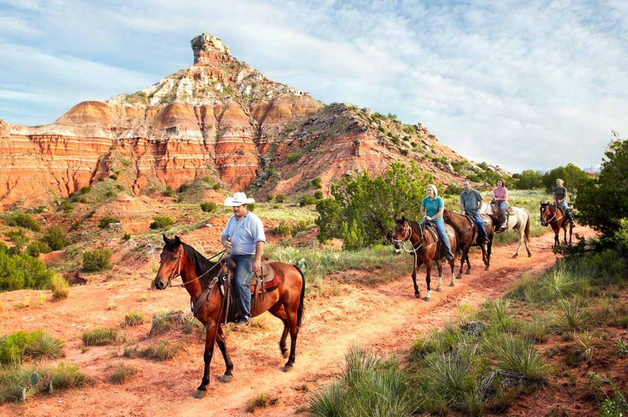
Photo: Texas State Parks
It’s pretty much a straight shot, but what it lacks in twists and turns, it more than makes up for with breathtaking natural artistry as you cross the Prairie Dog Town Fork of the Red River and cut through the monolithic red cliffs of the canyon.

Photo: Texas State Parks
With nearby unique attractions such as the Texas Outdoor Musical and newly added glamping sites within the state park, you’ll want to spend a weekend exploring the Grand Canyon of Texas and the surrounding communities.
Best time of the year to go: Year round
Notable stops:
- Palo Duro Canyon State Park
- Turkey Canyon
- Caprock Canyon
- Old West Stables
- Texas Outdoor Musical
- The Big Cave at Palo Duro Canyon State Park
8. The River Road
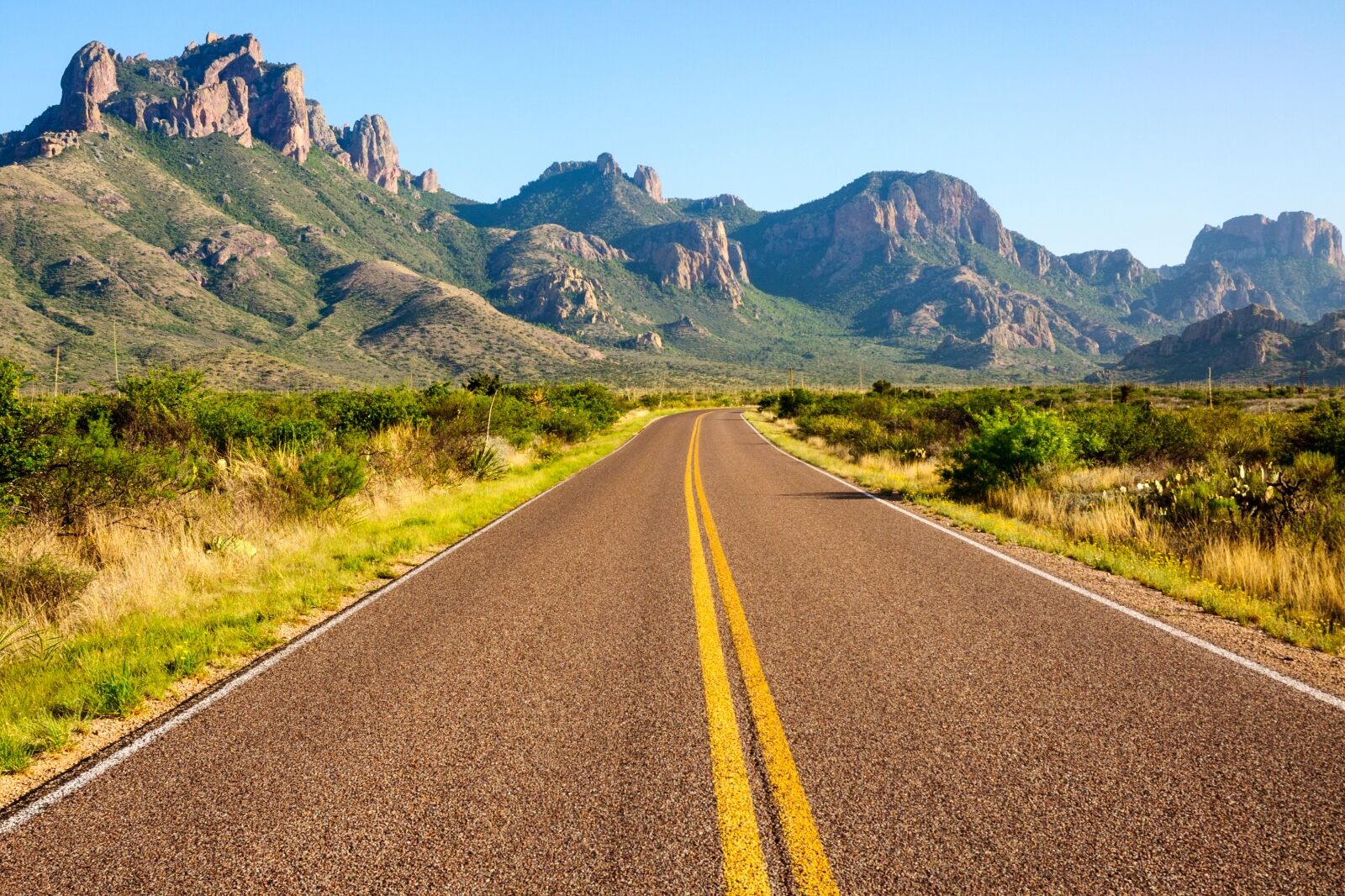
Photo: Zack Frank/Shutterstock
It’s a fantastic sight: the arid colors of South Texas suddenly burst to life in brilliant shades of green along the famed Rio Grande. You’re not dreaming. You’re on River Road (FM 170) in Texas, heading from Presidio, coasting through Big Bend National Park, before ending your journey in Lajitas.
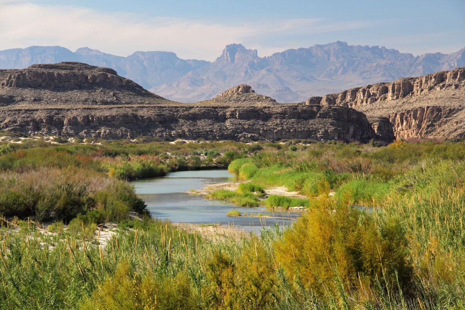
Photo: William Silver/Shutterstock
Along the 50 miles of roadway, make plans to visit a wide array of attractions, including the Fresno Overlook, an abandoned movie set used in multiple films, historic sites, and even the fabled Terlingua ghost town.
There are picnic areas and multiple lovely viewpoints to stop and enjoy the day at, but be sure to fill your car with fuel and bring plenty of water and snacks because there are no facilities between the two towns on this scenic drive along the river.
Best time of the year to visit: Spring
Notable stops:
- Big Bend National Park
- Terlingua ghost town
- Fandango Dom Rock
- Hoodoos and Balanced Rocks Trail
- Big Bend Ranch State Park Sign
- Three Dike Hill
- Contrabando Abandoned Movie Set
- Fort Leaton State Historic Site
9. Willow City Loop
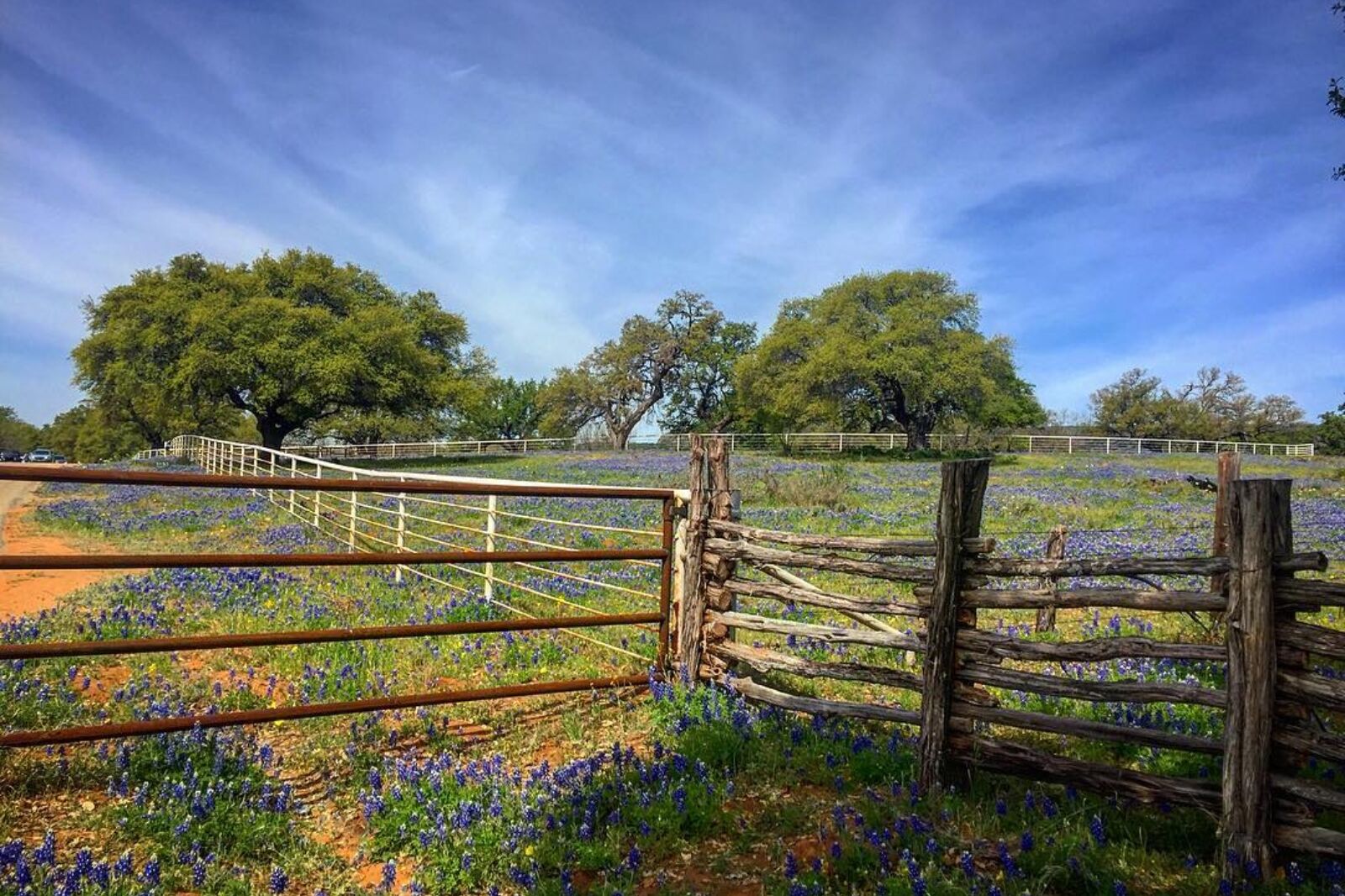
Photo: Travel Texas
The Willow City Loop is the embodiment of Texas Hill Country. Rolling waves of Texas Bluebonnets strike dazzling scenes and give way to arresting views that have become the dreamy portrait in the minds of visitors that long to visit the Lone Star State.
To reach the iconic loop, head north from Fredericksburg on Highway 16, taking a right at Farm Road 1323 in Eckert. Follow the road for nearly three miles until you reach the small community of Willow City. You’ll turn left on the Willow City Loop and begin your adventure until you reach Highway 16 again.
The loop is only 13 miles long, but you’ll be treated to a beautiful display of broad canyons, colorful cliffs that seem to pierce the blue Texas sky, and wildflower blooms that wash the hillsides in brilliant yellows, whites, oranges, and blues (depending on which wildflower varieties are in season).
Best time of the year to go: March to May during wildflower season
Notable stops:
- Old Eckert Store
- Cottonwood Hollow (a great place to find bluebonnets)
- Willow City School
10. Davis Mountains Scenic Loop
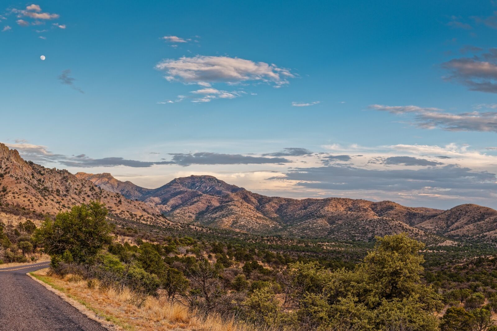
Photo: Silvio Ligutti/Shutterstock
The Davis Mountains Scenic Loop is a beautiful scenic drive through the Davis Mountains in West Texas. The loop is 75 miles long and takes about two hours to complete.
Begin in Fort Davis on Highway 118, then proceed through Limpia Canyon to Madera Canyon before turning left on Highway 166, which circles back close to Fort Davis.
Photo: Travel Texas
Along the way, there are several points of interest, including roadside scenic overlooks, hiking trails, and historic sites. A popular stop on the Davis Mountains Scenic Loop is the University of Texas McDonald Observatory, which is one of the leading centers for astronomical research as well as public education. The Davis Mountains offer some of the darkest night skies in the continental United States, which makes the observatory incredibly important to researchers who study the heavens.
The loop reaches elevations of nearly 6,700 feet, which makes it the highest public highway in the state. As the road rises and falls with the land, visitors are granted dazzling views of Madera Canyon, Mt. Livermore, Sawtooth Mountain, Miter Peak, the Puertacita Mountains, and the Sierra Viejo Mountains that run along the Rio Grande River to the south.
Best time of the year to go: Spring or fall
Notable stops:
- McDonald Observatory
- McIvor Conservation Center
- Lawrence E. Wood Picnic Area
- Point of Rocks scenic spot
- Rattlers and Reptiles Museum
- Fort Davis National Historic Site
- Lookout Shelter
- TX-118 Roadside Park Scenic Overlook
- Prude Ranch
