Photo: John McCormick/Shutterstock

The Best Hikes in Michigan’s Upper Peninsula to Explore This Summer

Michigan Hiking
by Matthew Dursum May 17, 2022

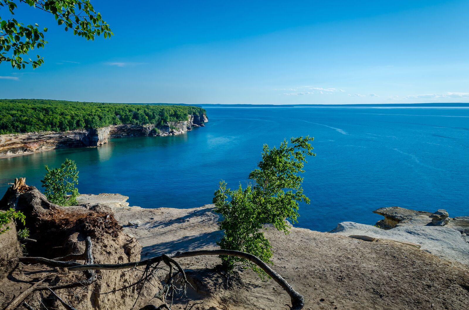
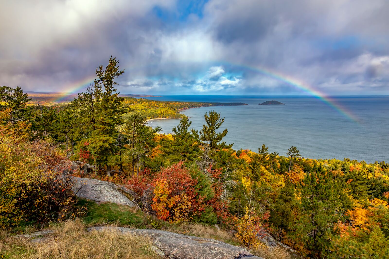
Michigan’s Upper Peninsula is a hiker’s paradise like none other. For those who love misty waterfalls, dense forests, rugged terrain, and endless lakeside vistas, the UP is worth a trip.

Most of the peninsula’s famous hikes are easy to find. The UP’s trails run from easy half-mile loops to challenging 20-mile-plus treks up steep mountains. An abundance of wildlife thrives here, which adds to the thrill.

Although hiking is possible throughout the year, the UP experiences brutal winters, torrential storms, and pesky bugs in the summer. It’s also not the most forgiving terrain. Lack of cellphone reception, unpredictable weather, and remoteness are other safety factors that hikers must take into consideration. Regardless of the challenges, a hiking trip to the UP can be an unforgettable adventure. Here are the top Upper Peninsula hikes to try this summer.

Chapel Loop – Munising

chapel loop upper peninsula hikes

Photo: KYPhua/Shutterstock

Few places in the lower 48 are more stunning than Pictured Rocks National Lakeshore. Within this densely forested coastal wilderness, is one of Michigan’s best upper peninsula hikes. The moderately strenuous 10.2-mile loop takes hikers through a range of natural landmarks, including two waterfalls: the dramatic Chapel Falls and the smaller Mosquito Falls.

The coastal side of the trail opens up through the birch forests to unbeatable views of Lake Superior and the Pictured Rocks. After it hugs the cliffs above the lake, the trail snakes down to Chapel Beach on the northern end and Mosquito Beach on the south. Chapel Loop is also perfect for spotting wildlife. However, be aware. Black bears are a common sight here. Like anywhere in the UP, pack up your food and waste.

Dogs are not welcome on these trails. The trailhead starts and ends at the end of Chapel Road.

Lake of the Clouds and Escarpment Trails

lake of the clouds michigan

Photo: John McCormick/Shutterstock

The Lake of the Clouds trail, near the town of Ontonagon, is an easy 1.8-mile trail that descends to the Lake of the Clouds. Stunning views of the small lake and the surrounding forest open up from several vantage points. For bird watchers, this trail is unbeatable. Hikers and birdwatchers can climb down to the lake and the Big Carp River. Within the valley, wildlife roams undisturbed.

The steep Lake of the Clouds trail connects to the trails of the greater Porcupine Mountains, including the famous Escarpment Trail. This challenging 8.4-mile trail takes hikers along the ridge above the Lake of the Clouds and Big Carp River. The trail climbs up two 1500’ peaks, Cloud Peak and Cuyahoga Peak, and descends around 600’ to the 107th Engineers Memorial Highway.

Dogs are welcome if on a leash. A Michigan Recreation Passport is required for vehicle entry.

Sugarloaf and Hogback Mountains

Sugarloaf Mountain Michigan

Photo: Craig Sterken/Shutterstock

With sprawling vistas of Lake Superior and the Escanaba River State Forest, this easy hike is unforgettable. Sugarloaf trail loops up the side of the 1040’ Sugarloaf mountain. The loop covers 1.4 miles of pine forest. Enormous boulders protrude from the side of the trail and provide shelter for large and small animals. Near the summit, a well-maintained staircase brings you to the top. Here, the wide expanse of the UP’s unspoiled forest opens up around you. The wide-open forest view accompanies the wild coast of Lake Superior and Partridge Island.

For a more advanced hike, head a half-mile north to the Wetmore Pond Nature Trail Parking lot. The trailhead for the incredible Hogback Mountain starts and ends here. The well-marked trail takes hikers through a quiet forest and a 600-foot elevation gain to the top of a large hill. At the rocky summit, the view is panoramic and encompasses the surrounding State forest and other nearby peaks. Another draw for some hikers is the lack of crowds that plague Sugarloaf Mountain.

Dogs are welcome on a leash.

Wetmore Landing Shoreline

Michigan has the best shoreline hikes in the country. The UP’s Wetmore Landing is one of them. The out-and-back trail runs 3.6 miles from Wetmore Landing parking lot to the Little Presque Isle Point. Here, hikers can wade through the shallow water to the little rocky island offshore. The trail beautifully winds between birch and pine trees that stand along the rocky escarpment. Petrified trees and scraggly rock formations dot the inaccessible shoreline. If you can find it, there’s a narrow trail to Hidden Beach, one of Marquette’s most beautiful stretches of sand, either being one of the best Upper Peninsula hikes.

Tahquamenon Falls

Tahquamenon Falls Michigan hikes

Photo: Big Joe/Shutterstock

The UP’s most famous waterfall also has amazing hiking trails. Begin the out-and-back hike by the main Tahquamenon Falls parking lot. The well-maintained path leads to the majestic upper falls. These cascades are a perfect backdrop for photos. After braving the hordes of tourists, hikers can enter the beautiful river trail, which runs along the river for five miles. The trail ends at the lower falls, which are less dramatic and less touristy than the upper falls. After hiking five more miles to return to the parking lot, enjoy a cold beer and food at the Tahquamenon Falls Brewery.

Requires Michigan Recreation Passport for vehicle entry. Dogs are welcome on a leash.

Discover Matador