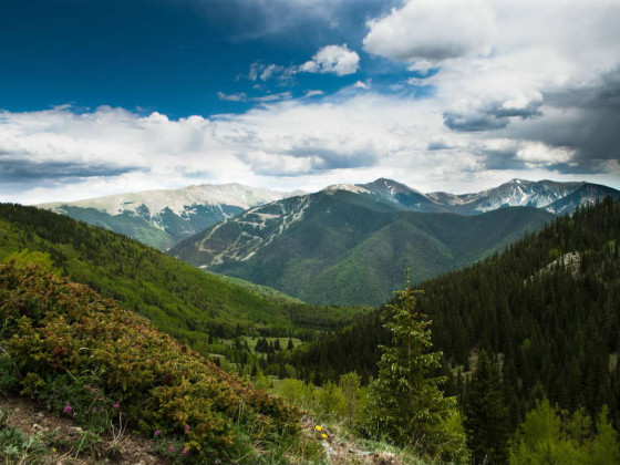
1. Yapashi Ruins Trail
Distance: 6 miles one way
Rating: Difficult
More info: Bandelier National Monument
700 years ago, the Pajarito Plateau northwest of Santa Fe was a densely inhabited beehive of towns and villages. Today, the ancestral Puebloan peoples live in the nearby Rio Grande Valley while the Pajarito is covered in protected lands, much of it designated wilderness.
Perhaps the best trail on the plateau rises from Frijoles in Bandelier National Monument. The Yapashi Ruins path begins from the visitor center and immediately rises along the mesa to the southwest, steep and relentless. This is an ancient Native American route that climbs onto the mesa, down into a smaller canyon, and then back up to the ruins whose name means “sacred enclosure.” It is indeed considered sacred to the people of Cochiti Pueblo, so please be respectful — removing artifacts is against the law.
2. Dripping Springs Trail Complex
Distance: Short — distances vary
Rating: Moderate
More info: The Bureau of Land Management website has all the details you’ll need to get there.
From a distance, the half million acres that make up Organ Mountains-Desert Peaks National Monument outside of Las Cruces looks like an intimidating scrag of heat, rocks, and cactus. But keep going and you’ll find one of the most diverse plant and wildlife communities in the whole of the American Southwest. Oh, and water too. The best introduction to New Mexico’s newest national monument is via the Dripping Springs Trail Complex located on the eastern face of the mountains.
Park at the A. B. Cox Visitor Center, about 10 miles east of the I-25 University exit, and pick up a map. The trailheads depart from the visitor center, and all are under 2 miles long.
Dripping Springs climbs past the ruins of Colonel Eugene Van Patten’s Dripping Springs Resort. The colonel was a celebrated Confederate Civil War leader, and Pancho Villa once stayed here. Continue on past the ruins of several other old settlements. Follow the nearby Crawford and Filmore and La Cueva Trails and you’ll get incredible views of the Chihuahuan Desert below.
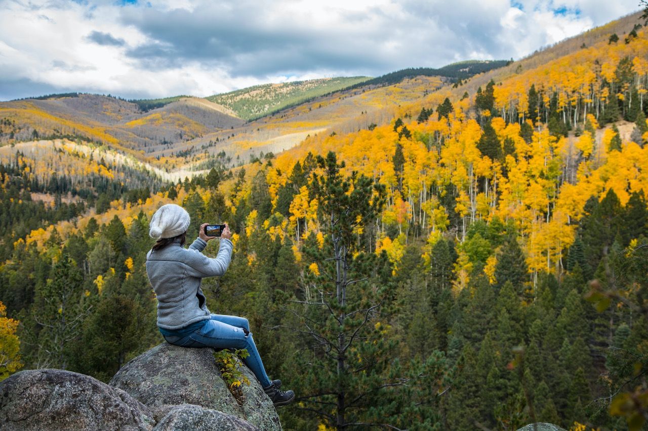
3. Gavilan Trail
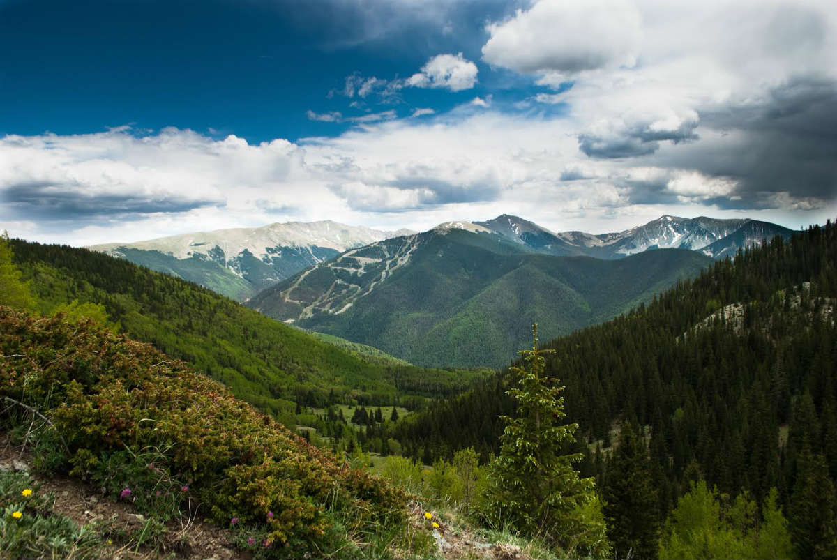
Photo: Author
Distance: 2.5 miles one way
Rating: Difficult
More info: Carson National Forest
In Northern New Mexico’s Taos County, the Gavilan Trail climbs into the mountains of the Columbine Hondo Wilderness. It’s the steepest and fastest route to the ridge connecting the highest peaks in the state, and the views stretch all the way into Colorado.
The trailhead itself sits at an elevation of 9,000 feet and traces the Gavilan (“hawk”) Creek into a forest of towering pines and spruce trees. Because of the elevation, wildflowers bloom for most of the summer — the route is decorated with geraniums, asters, wild raspberry, and wild strawberry.
From Gavilan Falls, the terrain becomes heart-thumpingly steep until you spill out into a flower-filled meadow dotted with aspens. This is the perfect place for lunch and a nap. But don’t turn around before finishing the climb to the nearly 12,000ft ridge, just another half hour hike up.
Be prepared for sudden thunderstorms even on the best summer day. Water, food, rain gear, and a quick-drying fleece sweater are recommended.
4. Sierra Ladrones
Distance: 7 miles round trip
Rating: Difficult
More info: Bureau of Land Management
Southwest of Albuquerque rise the remote “thieves’ mountains.” 200 years ago, when Navajo and Apache raiders took sheep and cattle from the Spanish settlements along the Rio Grande, they frequently retreated here to avoid capture. Today the mountain range is a 45,000-acre wilderness study area under the auspices of the Bureau of Land Management.
There are no marked trails in the area and very little water, so to tackle this epic hike you’ll need to make sure you’re well prepared with food, water, maps, and perhaps camping equipment. Just in case.
There are two toothy summits to hit in the Ladrones, the tallest topping over 9,000 feet — it’s around a 7-mile round trip from the scrubby parking area. You can reach the high saddle between the peaks by way of a long fin extending to the northwest. The path isn’t terribly steep, but it’s rugged. Keep an eye out for rattlesnakes, mountain lions, and lightning.
5. La Luz Trail
Distance: 8 miles one way (take the aerial tramway back down)
Rating: Difficult
More info: La Luz Trail
This is an incredibly popular trail — you don’t come here for solitude. Found on the west face of the Sandia Mountains, right on the edge of Albuquerque, La Luz Trail climbs 8 miles to either the crest of Sandia Peak or over to the Sandia Peak Tramway. It’s a rough hike intended for the fit, gaining nearly 4,000 feet on an impressively steep grade, and for most of the year the dry air will literally suck the moisture from your body. Bring plenty of water.
One of the best things about this climb is that you experience multiple climatic zone and ecotones, which means rapid flora and fauna changes as you gain elevation. Oh, and then there’s the view. Not only is the city below impressive, you get to see all the surrounding mountains from up high: Mount Taylor to the west, the Sierra Ladrones in the south, and the snow-covered Sangre de Cristo mountains to the north. Yup, worth the effort.
6. Trampas Lakes Trail
Distance: 6 miles one way
Rating: Moderate to difficult
More info: Carson National Forest
11,400 feet above sea level in the expansive Pecos Wilderness, just northeast of Santa Fe, the Trampas Lakes are an alpine, flower-strewn wonderland at the foot of jagged peaks capped in snow year round.
The trail climbs up a shaded canyon from Trampas Campground in Carson National Forest. While the trail grade is moderate, it never lets up. After several miles the canyon opens into a meadow created by a decades-old avalanche. From here it steepens into switchbacks until you come to a sign indicating the locations of the various lakes. Hidden Lake is to the west, the Trampas waters straight ahead.
This is a fantastic place to camp, explore the basin, and climb to the ridge above, but if you do so please respect these delicate ecosystems and set your camp at least 300 feet from the water. Also note this is designated wilderness — no motorized vehicles or mountain bikes.
7. Gila Loop Trail
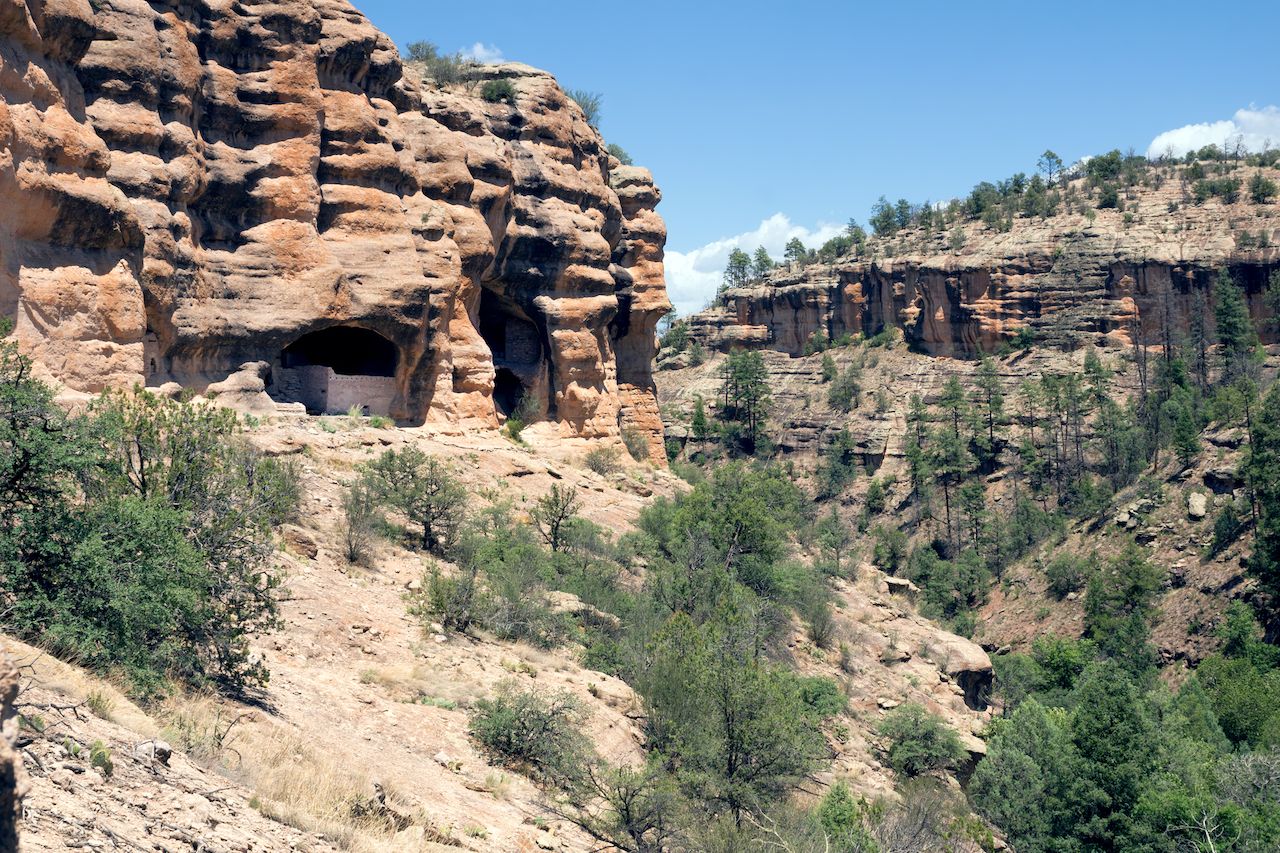
Photo: IrinaK/Shutterstock
Distance: 20 miles
Rating: Moderate
More info: Check out The Gila Wilderness: A Hiking Guide by John A. Murray to plan your trip and visit the Gila National Forest website.
Located in the southwest of New Mexico, Gila was the first designated wilderness area in the world and remains one of the largest roadless areas in the US. It’s the place that inspired conservation hero Aldo Leopold to propose a national wilderness system, and the Gila Loop is a perfect way to see it for yourself.
The trail leaves from Gila Cliff Dwellings National Monument in southern Catron County and climbs rapidly up one of the three main branches of the Gila River. The canyons are narrow and blanketed in pines, and the trail ascends to vast, grass-covered volcanic mesa tops 8,600 feet high that offer views over much of southern New Mexico.
The loop can be accomplished in one very long day, but you’d be wise to take at least two days, camping along the way.
8. Zuni-Acoma Trail
Distance: 8 miles one way
Rating: Difficult
More info: El Malpais National Monument
For over 1,000 years, the pueblos of Zuni and Acoma were connected by a 75-mile trail traversing some of the roughest territory in the Southwest. Today, 8 miles of this ancient trail remain in El Malpais National Monument, and it’s still peppered with the rock cairns, and ceramic debris left by the region’s original inhabitants.
For experienced hikers, 8 relatively flat miles may seem like a walk in the park. But be warned: This is a serious adventure that will take about 6 hours one way. The Zuni-Acoma Trail crawls over rugged lava flows and frequently disappears — it’s marked in many places by nothing more than simple rock cairns.
Located 16 miles south of Interstate 40, the western trailhead begins on NM-53. The eastern trailhead can be found on NM-117. Carry plenty of water, wear solid, reliable boots, and above all…enjoy. ![]()