Photo: Galyna Andrushko/Shutterstock

9 of the Best Wyoming Hiking Trails for Amazing Views and Small Crowds

Wyoming National Parks Hiking Backpacking
by Eric Warren Apr 29, 2022

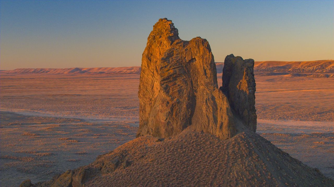
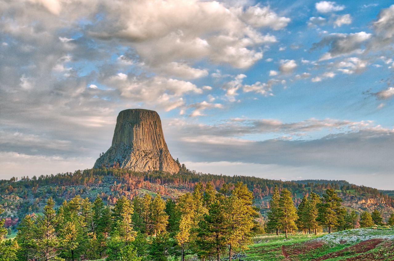
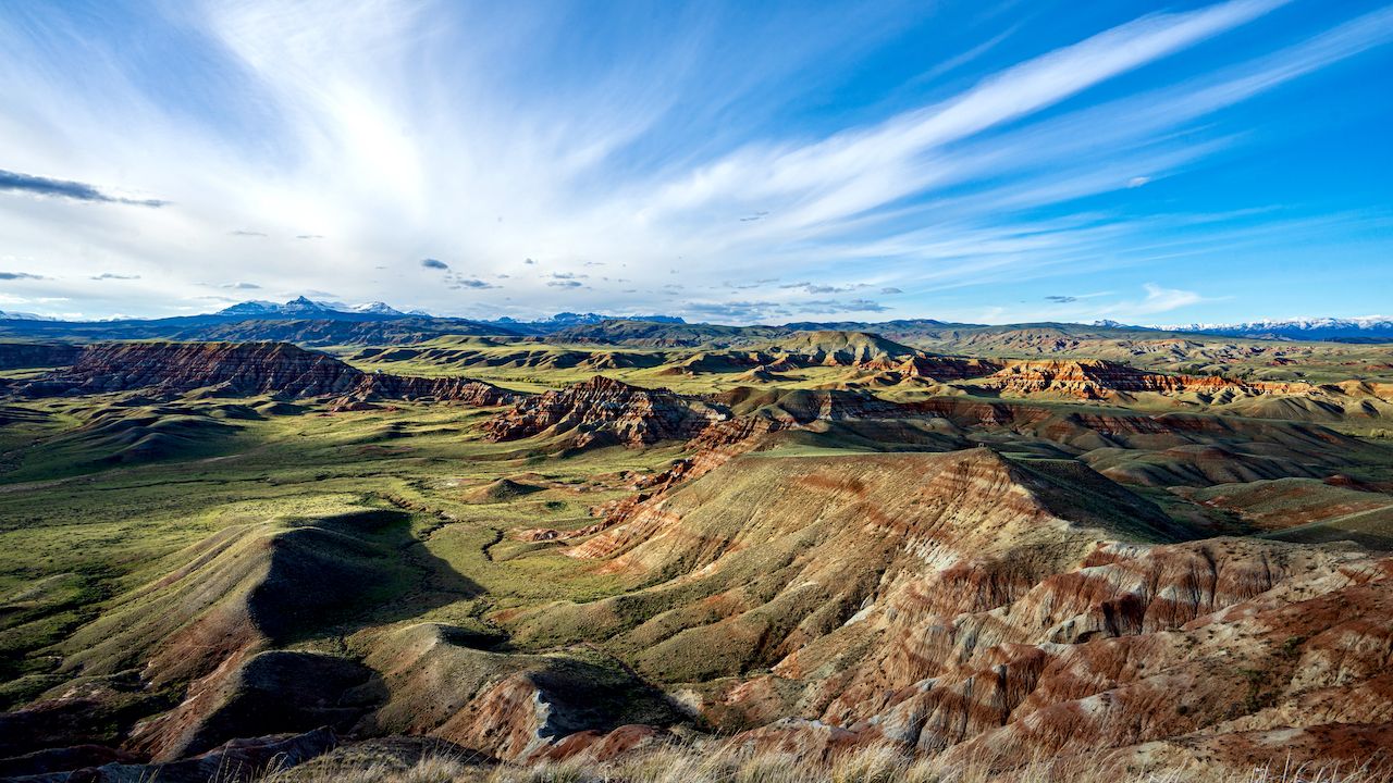
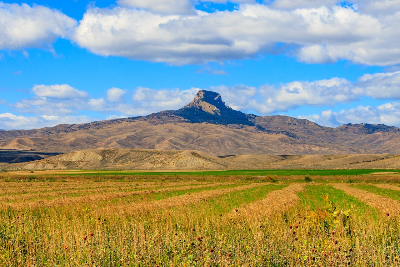
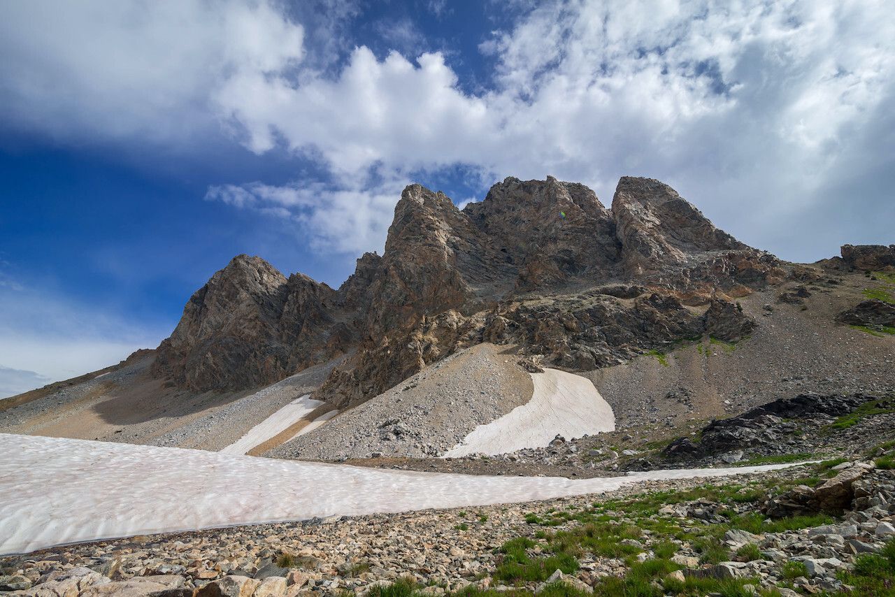
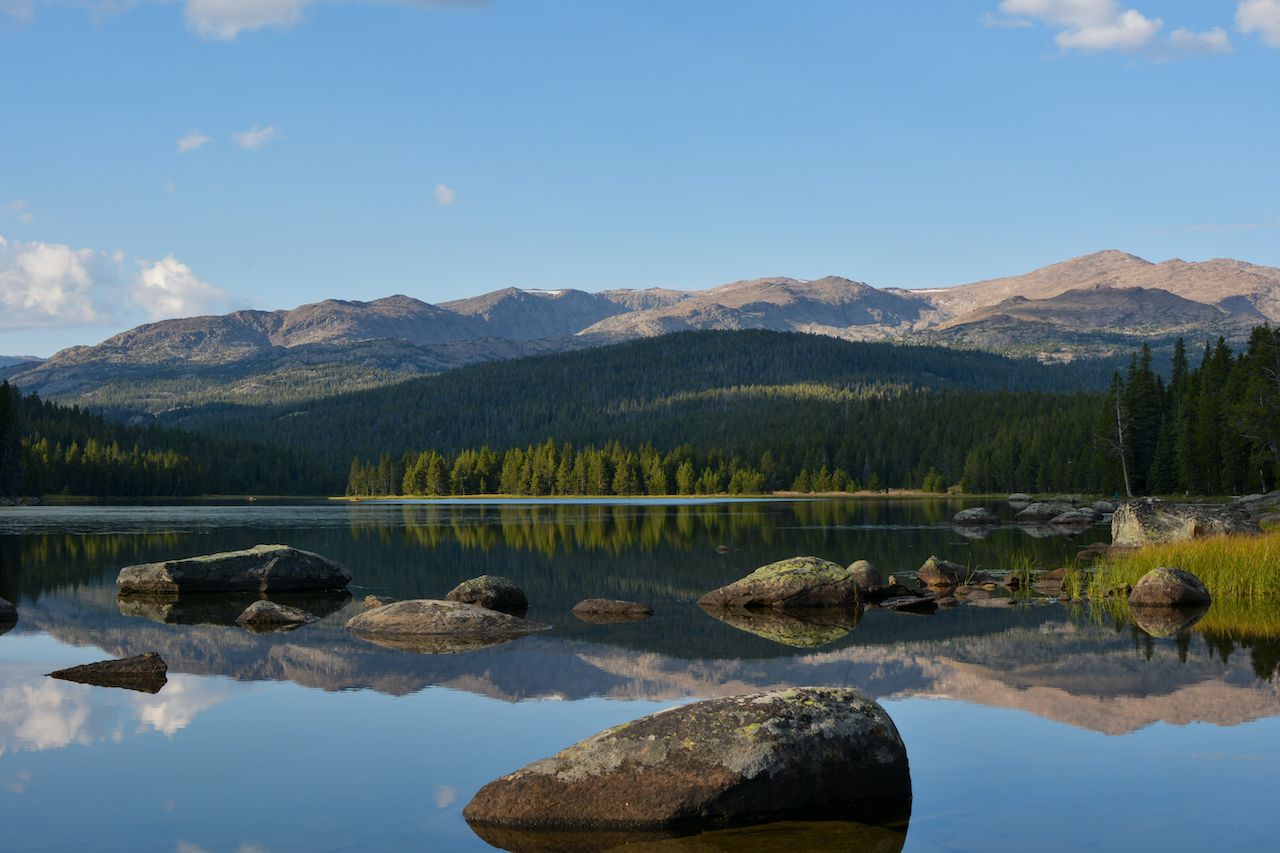
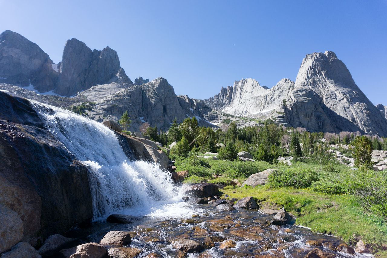
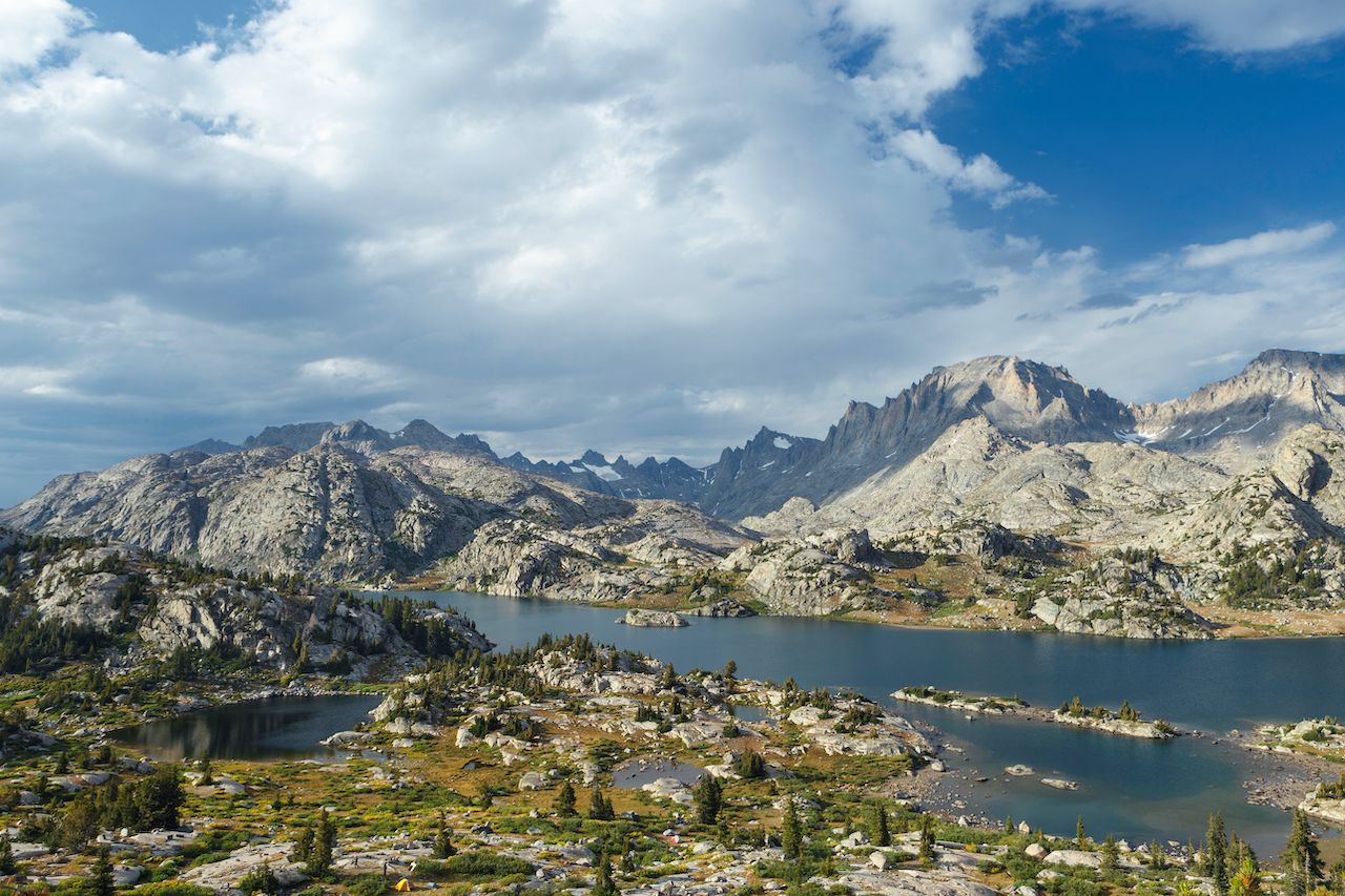
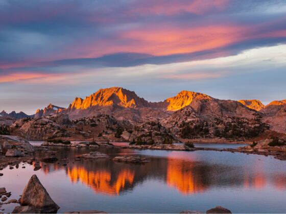
Wyoming has some truly bizarre landscapes, from sand dunes that sounds like they’re singing (really!) to freakish volcanic monoliths that tower over the surrounding desert or grassland flats. It also has some of the most epic backcountry views where rows of jagged peaks bite into the sky and prairie disappears over the distant horizon. While you can drive to a few of the state’s dramatic overlooks, the best way to experience Wyoming’s landscapes is to slip on your hiking boots and hit the trail.

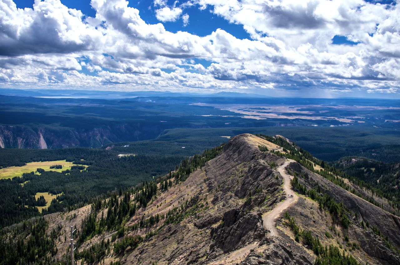
Here are nine of the best trails for doing a little Wyoming hiking while you’re visiting the Cowboy State, ranked from shortest to longest. While some may be quicker than others, they all have amazing views, so you’ll still get some awesome photos even if you pick one of the shorter trails.

Killpecker Dunes and Boars Tusk

AERIAL CLOSE UP Flying around Boars Tusk landmark at dawn

Photo: Flystock/Shutterstock

  • Distance: 1.4 miles
  • Type: Loop
  • Elevation gain/loss: +/- 140 feet

Killpecker Dunes doesn’t have any trails, exactly. But what it does have is miles of towering sand dunes so you can explore to your liking, as long as you’re not in a motorized vehicle.

But to enjoy the most mystifying parts of the dunes, you’re going to want to get away from the buzz of ATV engines and listen — because Killpecker Dunes is one of seven locations in the world with “singing” sand dunes.

Killpecker Dunes is part of Wyoming’s Red Desert, a 9,000-square-mile high altitude desert and sage-dotted grassland. The Dunes cover about 109,000 acres, making them the largest living dune system in the US. “Living” dunes are ones constantly being shaped and reshaped by the wind, often blowing from one direction during part of the year, then reversing to keep the sand largely in one place. The Dunes seem to stretch into infinity, save for a few bizarre rock formations like the 400-foot Boars Tusk.

Because of the shape of the sand, the Killpecker Dunes create a sound when the sand shifts; it’s equal parts spooky and relaxing. Imagine a long, low cello note floating over the otherwise-silent desert. The sound can also be caused by animals moving across the sand — which is a pretty common occurrence as the area is home to the largest migrating antelope herd in the US.

The Boars Tusk, a 400-foot monolith, is the core of a volcano exposed by the erosion of the surrounding layers of rock. There aren’t set hiking trails around Boars Tusk either, but hiking the three miles to the spire is a good idea. You can also walk along the road as there’s never very much traffic. If you’ve got a high-clearance vehicle, and if the road isn’t wet, you can drive the three miles to the Tusk. And feel free to bring your dog — the whole area is open to dogs. More information.

Red Beds Trail to Devils Tow

Devil's Tower National Monument in Wyoming with the forest wyoming hiking

Photo: Sulae/Shutterstock

  • Distance: 2.8 miles
  • Type: Loop
  • Elevation gain/loss: +/- 442 feet

Most famous for being an alien landing zone in the 1977 film Close Encounters of the Third Kind, Devils Tower is a volcanic spire that rises 1,200 feet over the eastern Wyoming prairie. It’s also called Bear Lodge Butte, a name given to the rock formation by the local Indigenous peoples. There’s some debate as to whether Devils Tower was formed by an igneous intrusion below layers of rock or a volcano that exploded on the surface. Either way, it’s hard not to be awed by the near-perfect hexagonal columns of rock.

Both the unimaginatively named Tower Trail (1.3-mile paved loop) and the Red Beds Trail (2.8-mile loop) leave from the visitors’ center of Devils Tower National Monument. They both circumnavigate the tower, but Red Beds is less crowded and has better views since it goes a bit further from the tower, giving you better views and less neck strain. With a little distance, you can really get a sense of Bear Lodge Butte’s place within the prairie and rolling ponderosa pine-covered hills.

Wildflowers are abundant, especially in the spring and summer. Even with the crowds, chances are you’ll see deer, wild turkeys, prairie dogs, hawks, and the occasional blue heron; this is a top Wyoming hiking spot for wildlife. On that note, watch for rattlesnakes.

Around the halfway point, you’ll hit the vibrant red badlands that give the train its name. The heavily eroded siltstone hills and cliffs hug the Belle Fourche River and look nothing like the rest of the park. There are a few steep, rocky sections, which could be challenging for little kids — and might be almost impassable during one of the area’s frequent afternoon rainstorms.

Indigenous people of the Northern Plain have considered this area sacred for centuries. You’ll probably see small bundles or cloths tied to tree branches along the trails, left by local Indigenous people. Respect the spiritual nature of the cloths by not touching or moving them, and try not to photograph them as it’s considered disrespectful.

This isn’t a Wyoming hiking trail for your pup; dogs aren’t allowed on any of the park trails. The area can be brutally hot in summer, so don’t leave your dog in the car, either. More information.

Dubois Badlands

Panoramic view of Dubois Wyoming, Hikes with best views in Wyoming

Photo: Romina Schwaiger/Shutterstock

  • Distance: 3.8 miles
  • Type: Loop
  • Elevation gain/loss: +/- 500 feet

The Dubois Badlands Wilderness Study Area is small area with just seven square miles of multi-colored desert. But what it lacks in size it more than makes up for in otherworldly landscapes. It’s one of the best places to go hiking in Wyoming if you want people to see your photos and say “wait, where was that?” The Dubois Badlands trail is the best Wyoming hiking route in the study area if you’re looking for views of colorful cliffbands.

Maybe it’s the fact that you’re almost guaranteed not to see another person out there that gives the place its alien feel. There are no signs to indicate you’ve reached the study area, and even many locals don’t call it by the BLM’s official name. Most instead call it Mason Draw, Byrd Draw, or just “the hills east of town.”

The hiking here is as easy or as hard as you want to make it. If you keep to the seemingly endless flatlands, you won’t have much elevation change. But you can also climb the steep, eroded hillsides for views of the surrounding areas. Summers can be scorching, so checking the area out in the morning or evening will be ideal, especially since the red-and-orange hillsides appear like they’re on fire at sunrise (and there’s not much water in the park to relieve the mid-day heat). If you’re lucky, you’ll see antelope, mule deer, or the occasional bighorn sheep down from the nearby mountains. Keep an eye out for rattlesnakes, though, especially if you’re hiking with your dog. More information.

Dunraven Pass to Mount Washburn

View South from Mount Washburn wyoming hiking

Photo: Randall Runtsch/Shutterstock

  • Distance: 6.7 miles
  • Type: Out and back
  • Elevation gain/loss: +/- 1,390 feet

Mount Washburn stands sentinel in the heart of Yellowstone National Park. At 10,223 feet above sea level, it has a commanding view of almost every inch of the landscape, including the Tetons to the south, the Madison Range to the northwest, and the Absaroka Range to the northeast.

At the top is one of Yellowstone’s three fire lookouts, as well as a small visitor center, restrooms, and one of the best observation decks in the national park system. There’s a 360-degree view of one of the biggest volcanic craters in the world: the Yellowstone Caldera. (Yes, the whole park is a caldera!)

The best and most scenic trail to reach the lookout starts near the crest of Dunraven Pass five miles north of Canyon Junction (off Grand Loop Road). The trail wanders more than three miles through lodgepole pine forests and open, grassy slopes. The trail also passes through areas burned by a wildfire in the 1980s, and the burn scars seem to be covered in wildflowers nearly 30 years layer.

From the top, you can see the faint edge of the calder as well as Yellowstone Lake and the Grand Canyon of the Yellowstone. At almost 40 miles across, the caldera spans almost the whole center of the park, bisecting Yellowstone Lake. It’s hard to imagine what the cataclysmic eruption that lay waste to much of the continental US would have been like 640,000 years ago, but being in the center of a crater almost the size of Rhode Island gives you some idea. More information.

Heart Mountain

Heart Mountain, Wyoming, Hikes with best views in Wyoming hiking

Photo: Melanie Hobson/Shutterstock

  • Distance: 7.8 miles
  • Type: Out and back
  • Elevation gain/loss: +/- 2,490 feet

Heart Mountain sits like an island in a sea of sagebrush several miles off the eastern edge of the Beartooth-Absaroka ranges. Tourists often overlook Heart Mountain in favor of more well-known Wyoming hiking destinations, but locals love it. The 360-degree views from the top are extraordinary, taking in the whole of the Bighorn Basin including the Beartooth, Bighorn, and Pryor mountain ranges, plus the dry folds of the McCullough Peaks to the south.

The trail begins in the arid sagebrush foothills nearly equidistant from the towns of Powell and Cody. Most of the mountain is owned by the Nature Conservancy and you need to sign in at the Heart Mountain Ranch building near the trailhead, but there’s no fee to hike the trail.

From the trailhead, the trail climbs 2,400 feet above the basin floor in just under four miles. The trail is rated at moderate, but there are steep sections especially the further up you go. Make sure you bring plenty of water and sunscreen because there isn’t much shade along the route. Also bring along a native plant guide or plant ID app as the area is home to many rare plant species. In spring and early summer, the wildflower blooms can be almost as impressive as the views from the top.

Thunderstorms are a common occurrence throughout the summer, so check the forecast before you head out and start your hike early. You don’t want to be caught at the summit when a lightening storm rolls in. More information.

Static Divide Peak

Grand Teton National Park, Hikes with best views in Wyoming

Photo: Serge Skiba/Shutterstock

  • Distance: 16.8 miles
  • Type: Out and back
  • Elevation gain/loss: +/- 5,420 feet

The Tetons are the state’s most famous mountain range by far, as well as the most popular destination for Wyoming hiking. The Cascade Canyon Trail is nearly as famous as the Tetons themselves, and rightly so. While Cascade earns its reputation with blankets of wildflowers and great views of Teewinot Mountain, it’s also one of the most crowded backcountry trails. The Static Peak Trail offers arguably more spectacular views with far fewer people to share them with.

Make no mistake: this trail is hard. It’s a 17-mile hike that climbs over a mile of vertical gain over grassy meadows and through steep-sided canyons and along alpine lakes (and across some challenging switchbacks).

Static Peak is one of the few mountains in the Tetons you can summit without mountaineering skills and equipment. While the hike may take all day, you get all of the beauty of a Teton vista without having to hire a guide. The views from the top are nothing short of magnificent, with glaciated peaks to the north and west and the endless expanse of Wyoming’s deserts to the south and east.

The best time to attempt this Wyoming hiking trail is July through September, as those months have the longest days (and best wildflowers). But those are also the months when the Teton’s legendary late afternoon thunderstorms often roll through, and Static Peak gets its name from how often lightning strikes the summit, so get an early start.

While you can turn this into a backpacking trip, the logistics of overnighting within Teton National Park’s boundaries are a bit complicated, so make sure you have your various permits in order. Make sure to bring a water filter and bear spray. More information.

Cloud Peak

West Tensleep Lake in the Bighorn National Forest of Wyoming hiking

Photo: Realest Nature/Shutterstock

  • Distance: 22.5 miles
  • Type: Out and back
  • Elevation gain/loss: +/- 5,320 feet

The Bighorn Mountain Range is considered by some to be one of Wyoming’s best-kept secrets, which seems hard to believe, considering the mountains loom one of the most traveled roads in the state. With all of the drivers that pass by, it’s surprising that this Wyoming hike trail is rarely crowded, even in the height of summer.

Cloud Peak is the highest summit in the Bighorns at 13,171 feet above sea level. It has the epic views Wyoming hiking is famous for, including chunky glacial peaks, alpine meadows full of wildflowers, and views for days across the wide-open prairie. It also has the highest topographic prominence in the state, towering 7,077 feet above the valley floor.

The hike starts at the West Tensleep Trailhead. You’ll follow the Misty Moon Trail to a stream crossing, then begin a gradual climb past ponderosa and blackjack pine forests, narrow mountain streams, and several lakes. At 10,200 feet above see level, you’ll reach Misty Moon Lake, one of the most picturesque bodies of water in the state. No one would look down on you for stopping here, rather than picking your way to the summit of Cloud Peak.

You can hook up with the Solitude Loop Trail at Misty Moon Lake and follow it to where the Cloud Peak Trail cuts north. From there, the climb becomes a 3,000-foot boulder scramble to the top, with a ridge that drops away hundreds of feet on both sides. It can feel like a never-ending slog at times, but the majestic view from the top makes the scramble worth it. Expect to see alpine lakes and gleaming snowfields tucked between sharp ridges for miles in every direction. While most of Wyoming’s visitors are fighting traffic in Yellowstone and the Tetons, you’ll be alone at the top of the world. More information.

Cirque of the Towers Loop

Cirque of the Towers, Hikes with best views in Wyoming hiking

amyelizabethroutt/Shutterstock

  • Distance: 24.5 miles
  • Type: Loop
  • Elevation gain/loss: +/- 3,900

While the Tetons get most of the front-page glory in magazine articles about Wyoming hiking, the Wind River Range’s Cirque of the Towers is the answer most Wyomingites will give you when you ask for the most picturesque location in the state. And the range’s sheer remoteness keeps the crowds at bay.

The first six miles climb at an easy grade along the Big Sandy River valley through forests to Big Sandy Lake. From there, you’ll begin to see some of the upcoming high country. The trail then gets steeper and rockier as you begin to climb through the treeline. It’s quite beautiful, and many people turn around once they get above the trees.

The trail then crosses Jackass Pass and Texas Pass, each bringing a whole new set of craggy peaks more beautiful than the last. But nothing really prepares you for the view when you make that last push into the Cirque. It’s like standing in the lower jaw of a gigantic dinosaur, with jagged teeth jutting upward hundreds of feet on three sides.

In good weather, you’ll see teams of climbers dotting the granite faces. But the area is so big that you’ll feel like you have the whole thing to yourself no matter how many cars you saw in the parking lot. You can camp in the Cirque without a permit as long as you’re more than a quarter-mile from Lonesome Lake, and if you’re overnighting, this is one of the most spectacular places in the country for night photography. More information.

Gannett Peak via Titcomb Basin

Island Lake and Titcomb Basin, Wind River Range

Photo: mgwilmoth/Shutterstock

  • Distance: 48.8 miles
  • Type: Loop
  • Elevation gain/loss: +/- 11,023

No list of Wyoming hikes would be complete without Gannett Peak. What makes it so well-known among mountaineers isn’t the skill level needed to bag the peak, but the multi-day approach just to get to the mountain.

Gannett Peak is hunkered deep in the Wind River Range. The Winds are considered the most remote place in the continental US, and Gannett Peak is in the most remote part of the range. There may be whole days where you see no one on the trail. Fortunately, it’s also the most beautiful part of the range, filled with grassy meadows tufted with colorful wildflowers, alpine bowls, towering mountains, and wildlife like moose, bear, fox, and elk at lower elevations.

Hiking Gannett is a 50-mile round-trip hike with 9,000 feet of elevation gain before you hit the summit at 13,810 feet above sea level It’s the longest round-trip approach of any state highpoint in the nation, including Denali in Alaska. To add to the challenge, there’s no camping on the mountain your base camp is 3,000 feet below the summit since camping on the glacier is too dangerous.

Be prepared for a 20-hour push from basecamp to summit and back. There’s no route to the summit that doesn’t involve glacier travel and climbing on snow, so important to never hike along and ensure you’re comfortable moving across snow and ice, potentially with traction devices and ice axes.

Even though the view from Gannett Peak is arguably one of the best in North America, with glaciated spires, turquoise lakes, and the largest glacier in the lower 48, the climb to get there isn’t for everyone. For a less intense outdoor adventure, just do a quick 15-mile hike into Titcomb Basin. Even though Bonney Pass separates you from the massif of Granite Peak, you still get most of the beauty that you see from the top, just from the perspective of looking up.

Titcomb Lake is at the bottom of a steep-sided bowl with jagged peaks vaulting into the sky on all sides. Even though Titcomb Basin is the most popular of the routes to Gannett Peak, it’s also the most scenic, and worth it despite the extra foot traffic. And don’t worry — it’s not Yosemite. “Crowded” may just mean seeing one or two other parties during the course of a day. Sometimes, you won’t see anyone. More information.

Discover Matador