Sure, you could spend a few weekends doing overnight camping trips to check out some of the highest peaks in the US. Or, you could take this 4,446-mile, insanely epic road trip and cross off the highest peak in each of the continental American West’s 11 states.
With only 78 hours of driving, you could bag 11 summits, hiking 186 miles in the process. The full trip has an elevation gain of more than 60,000 feet of elevation, and passes close to some of the most stunning national parks in the West. With an aggressive schedule that includes doing as many of the peaks below in one day as possible, expect to spend at least 17 days hiking — and that’s if you do Mount Whitney in one day.
Of course, you can start anywhere, but we’d advise doing it in the early fall and starting in Denver, moving counter-clockwise. That’ll let you tick off most of the northern mountains in the sweet spot between last year’s snow being melted and next year’s snow blocking the trails, then swing down to the southern peaks a little later in the fall to (hopefully) beat the desert heat.
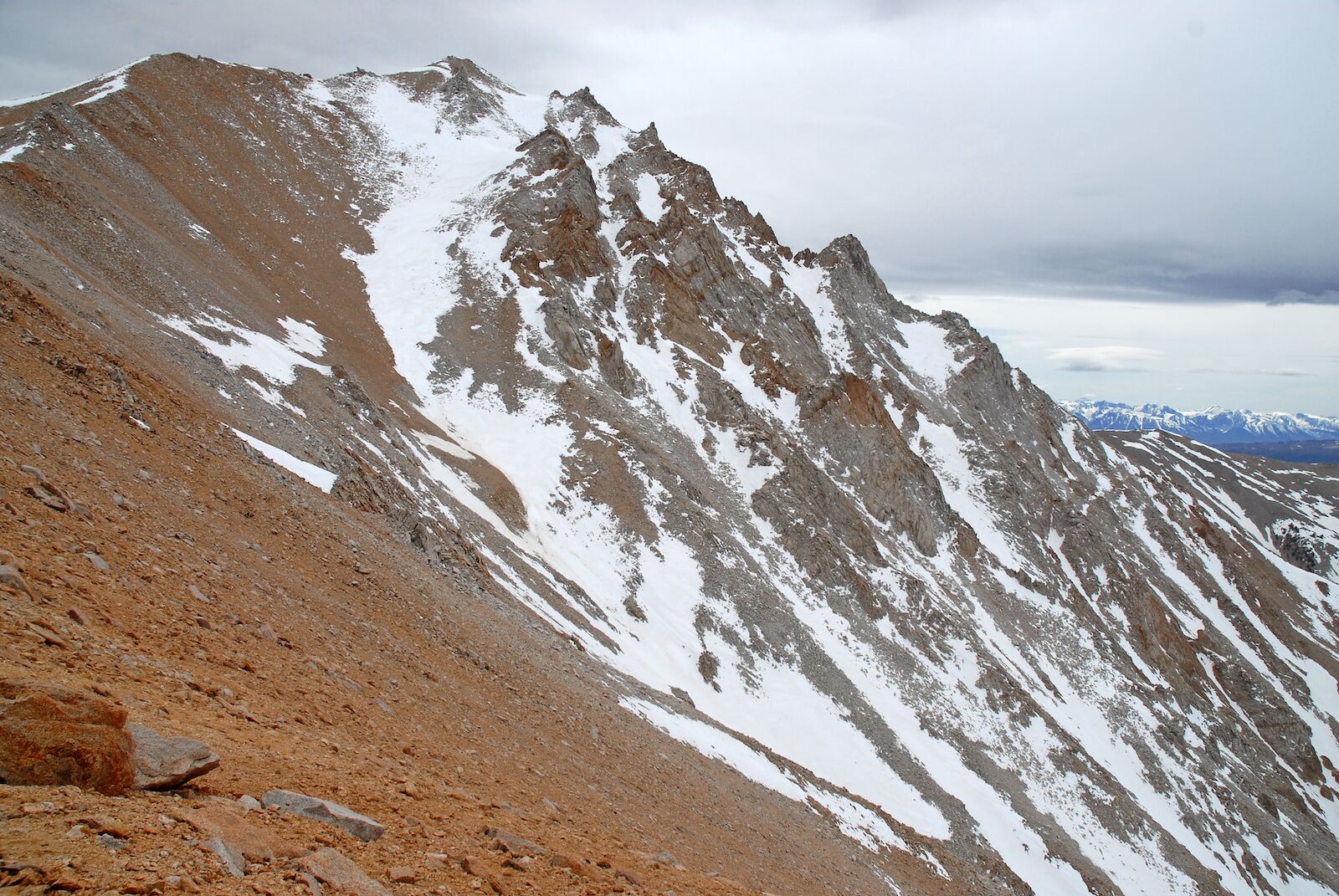
Summits like Mt. Whitney and Mt. Rainier can have snow on them year-round, so you’ll still want to make sure you have ice axes and traction devices in your hiking supplies.
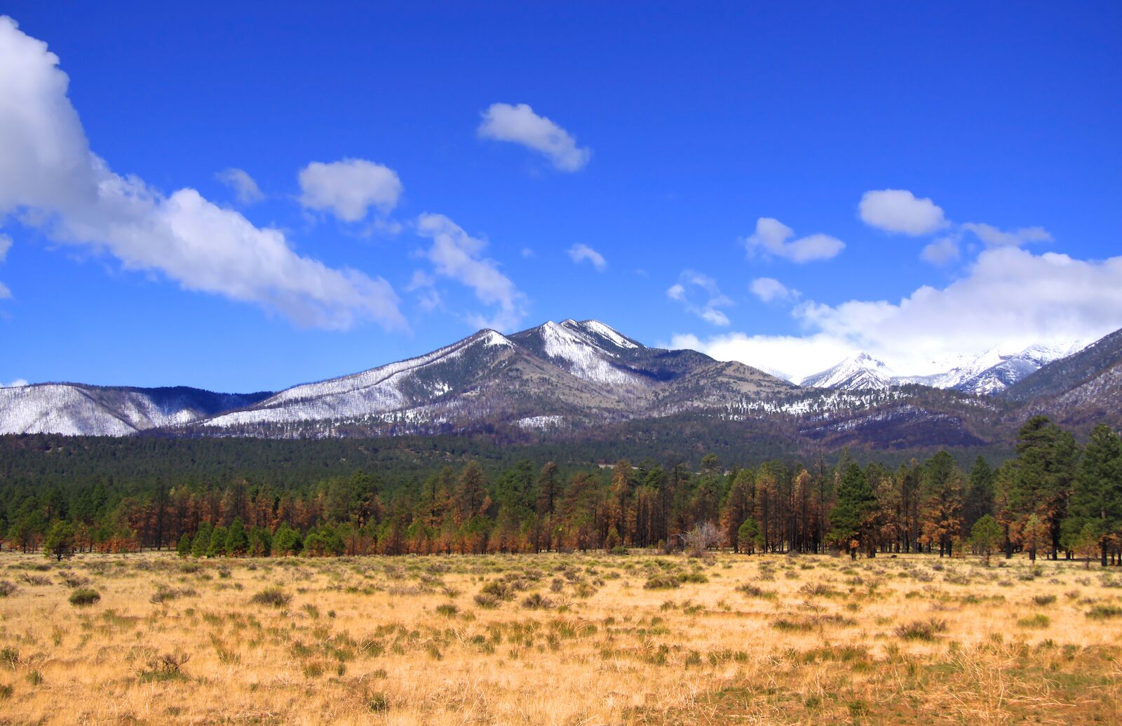
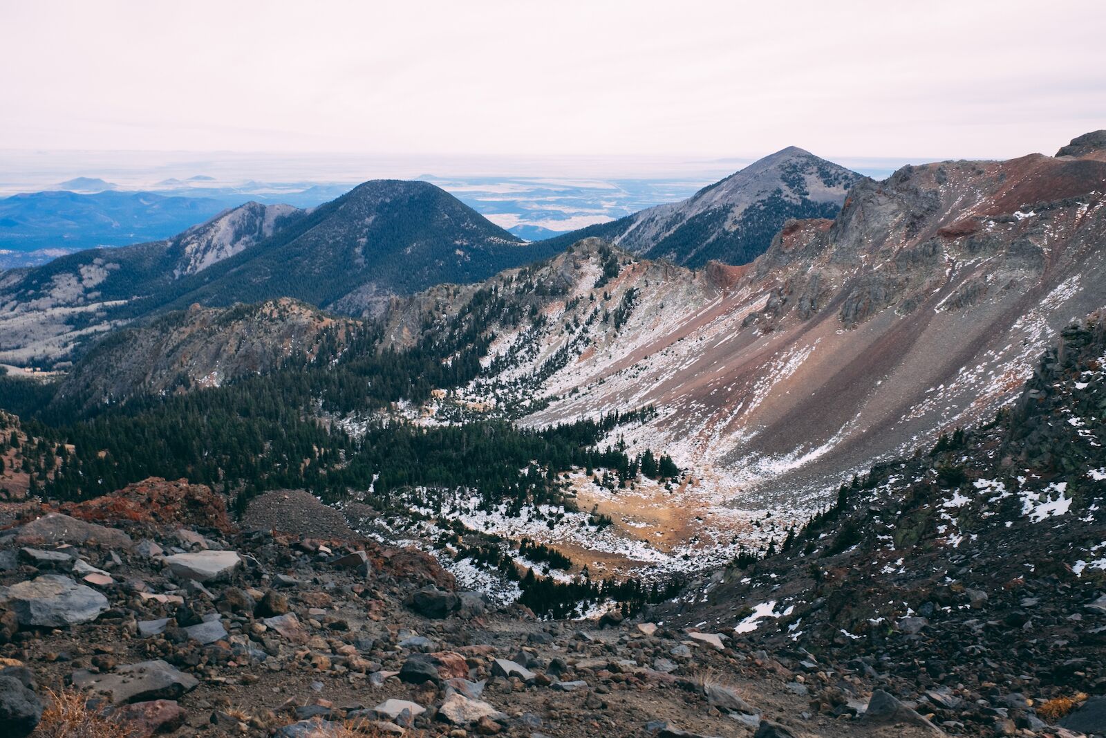
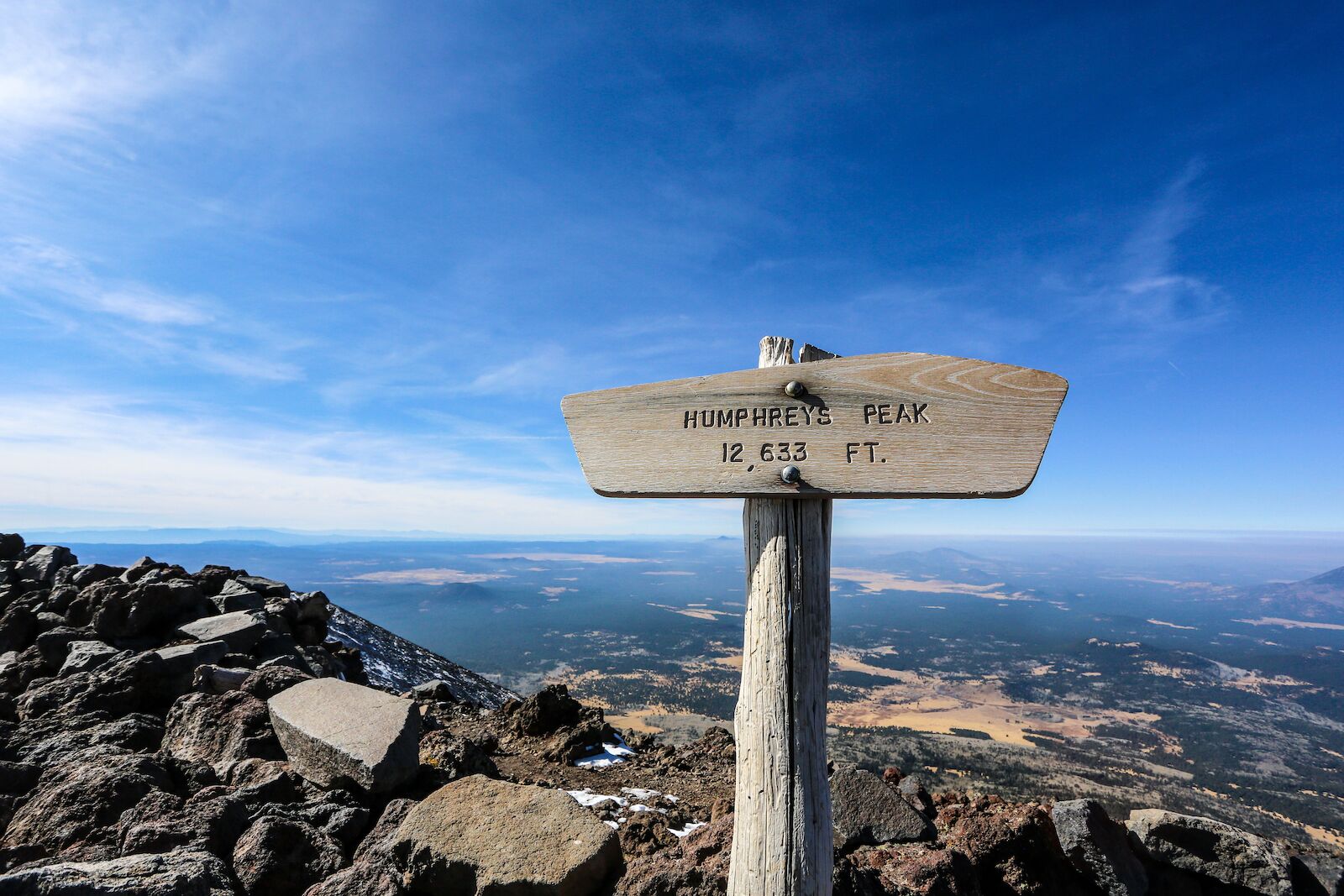
In addition to being the highest peak in Arizona, Humphrey’s Peak is well-known for another selling point: on a clear day, you can see to the Grand Canyon from the top. The elevation gain should be fairly doable for most hikers, especially if you move slowly to account for the thinner air at higher elevations. It’s a popular trail and pretty well-marked, and while it gains a lot of elevation, the trail is mostly switchbacks, which makes the ascent a bit more gradual.
Humphrey’s Peak is one of the few high peaks in the west you can do year-round, though that doesn’t mean it’s without snow. However, even if it’s recently snowed, you can usually attempt this route if you have basic snow-travel experience (which means knowing how to use ice axes and the knowledge to evaluate avalanche conditions). You’ll also want a map since trail signs could be covered in snow.
If 10.7 miles isn’t enough for you, you may instead want to take the Weatherford Trail to the top. It’s just over 22 miles and popular with backpackers. More information.
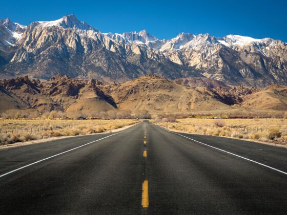
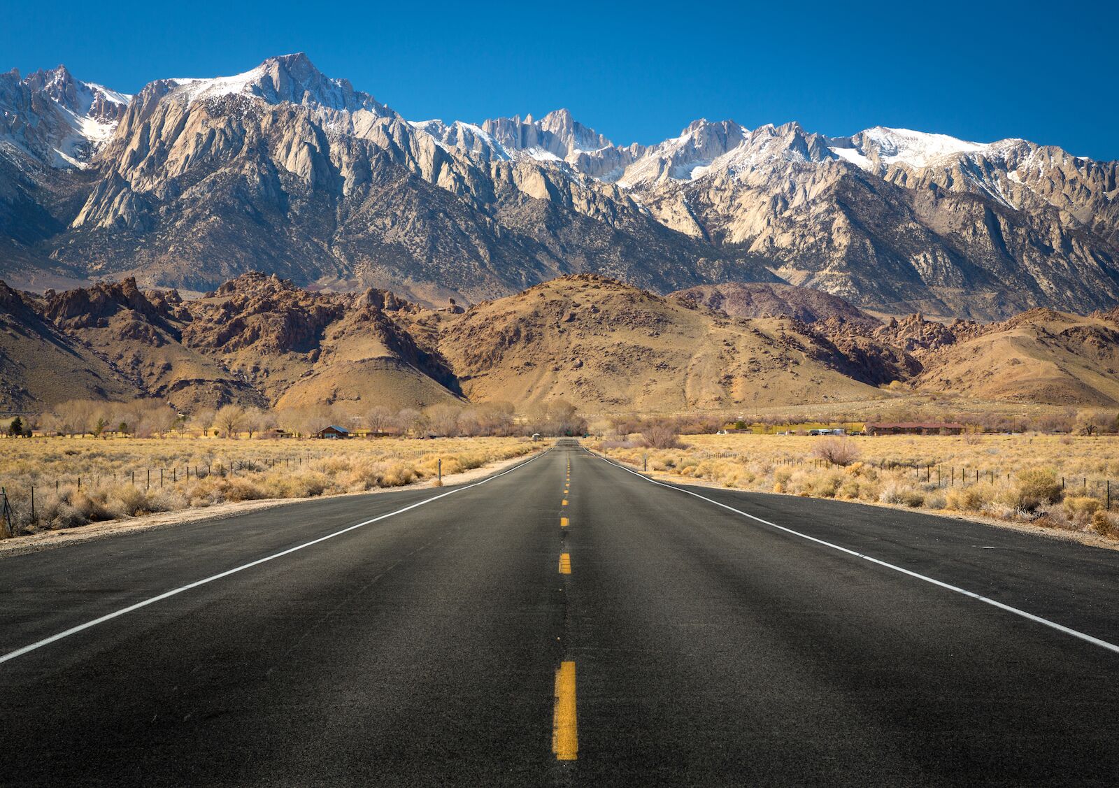
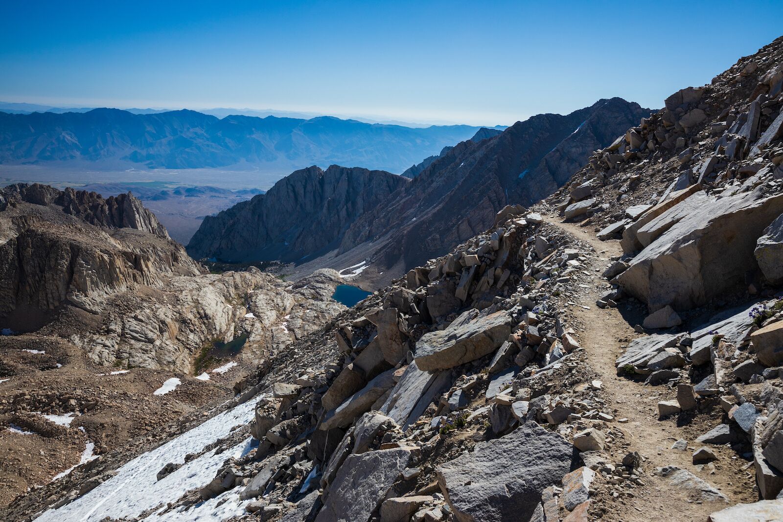
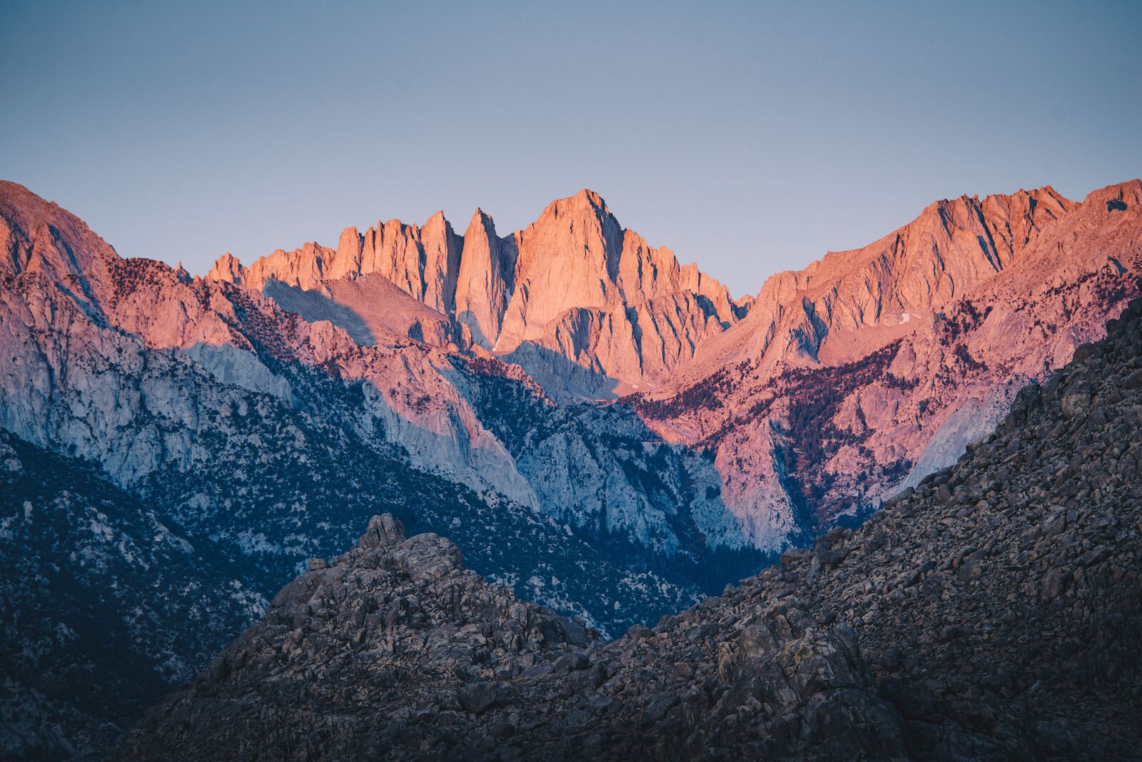
There’s plenty to say about the challenge of Mount Whitney, not least of which that it’s normally at least an overnight hike, if not a two-night overnight hike. The trailhead’s elevation is already well over 8,000 feet, so attempting to gain another 6,600 feet in a single day –and make it back — is something only very experienced hikers should attempt. If you want to do it in two days, you’ll need to get an overnight Whitney permit, which allows you to camp at one of four designated areas along the classic Mount Whitney Trail. The most common way to do it is to hike to your campsite on day one. On day two, you wake up and start hiking before the light, which should get you to the summit around midday and allow you to get all the way back to your car (stopping to pack up your camp, of course) before nightfall.
One-day hikers still need a permit, though of course, it doesn’t include the ability to camp. The most popular time to summit Mount Whitney is in late summer and early September when there’s the lowest chance of snow and ice near the top, but those are always a possibility. You should carry and know how to use traction devices. Because of the massive elevation change between the summit and the nearest town (Lone Pine, at 3,727 feet above sea level), altitude sickness is a very real threat. Make sure you know how to identify the signs, regardless of how many nights you’re spending on the mountain. More information.
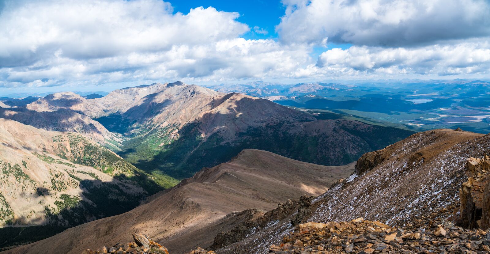
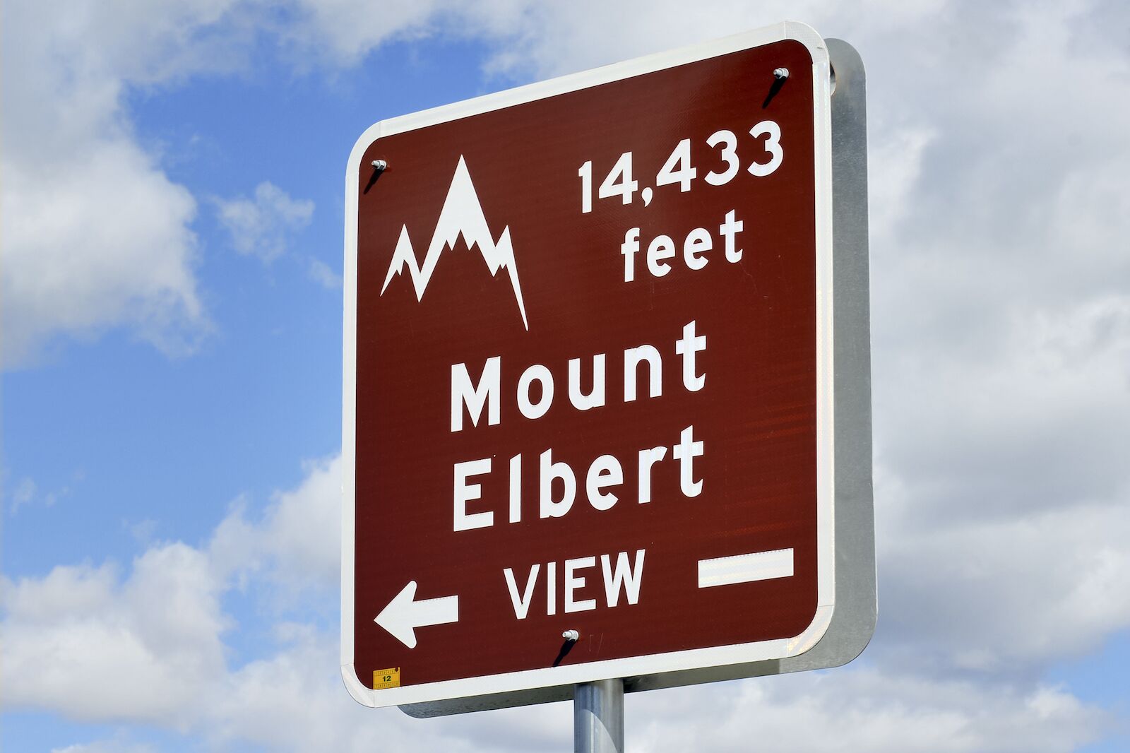
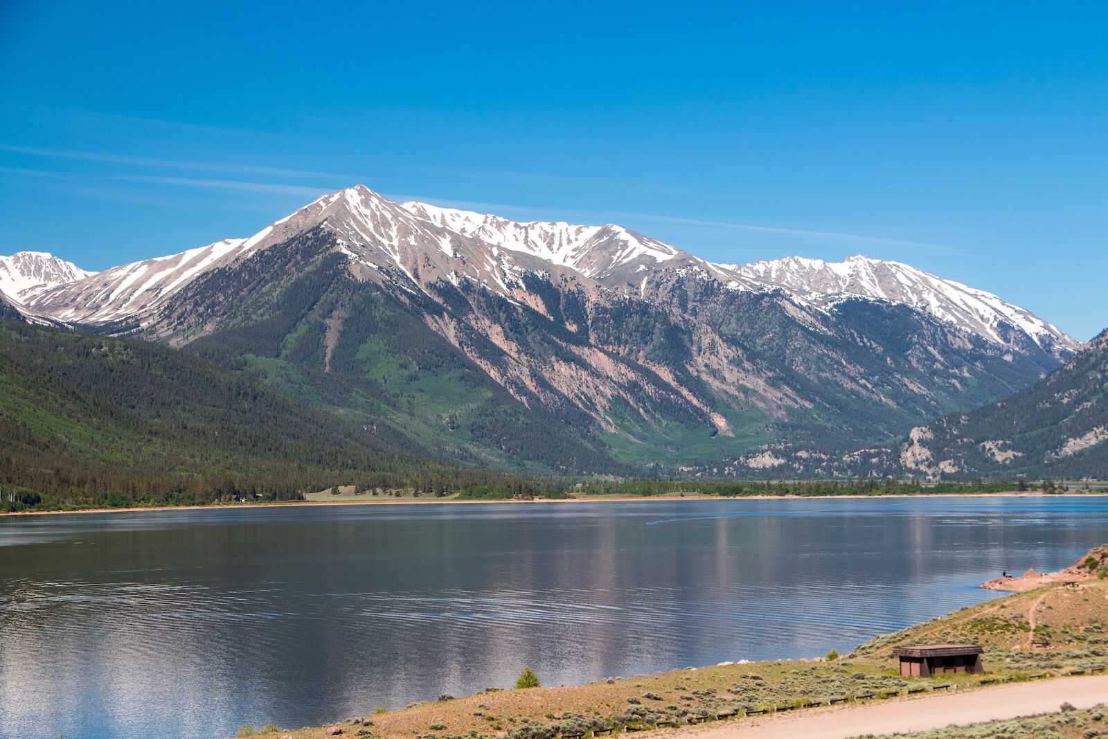
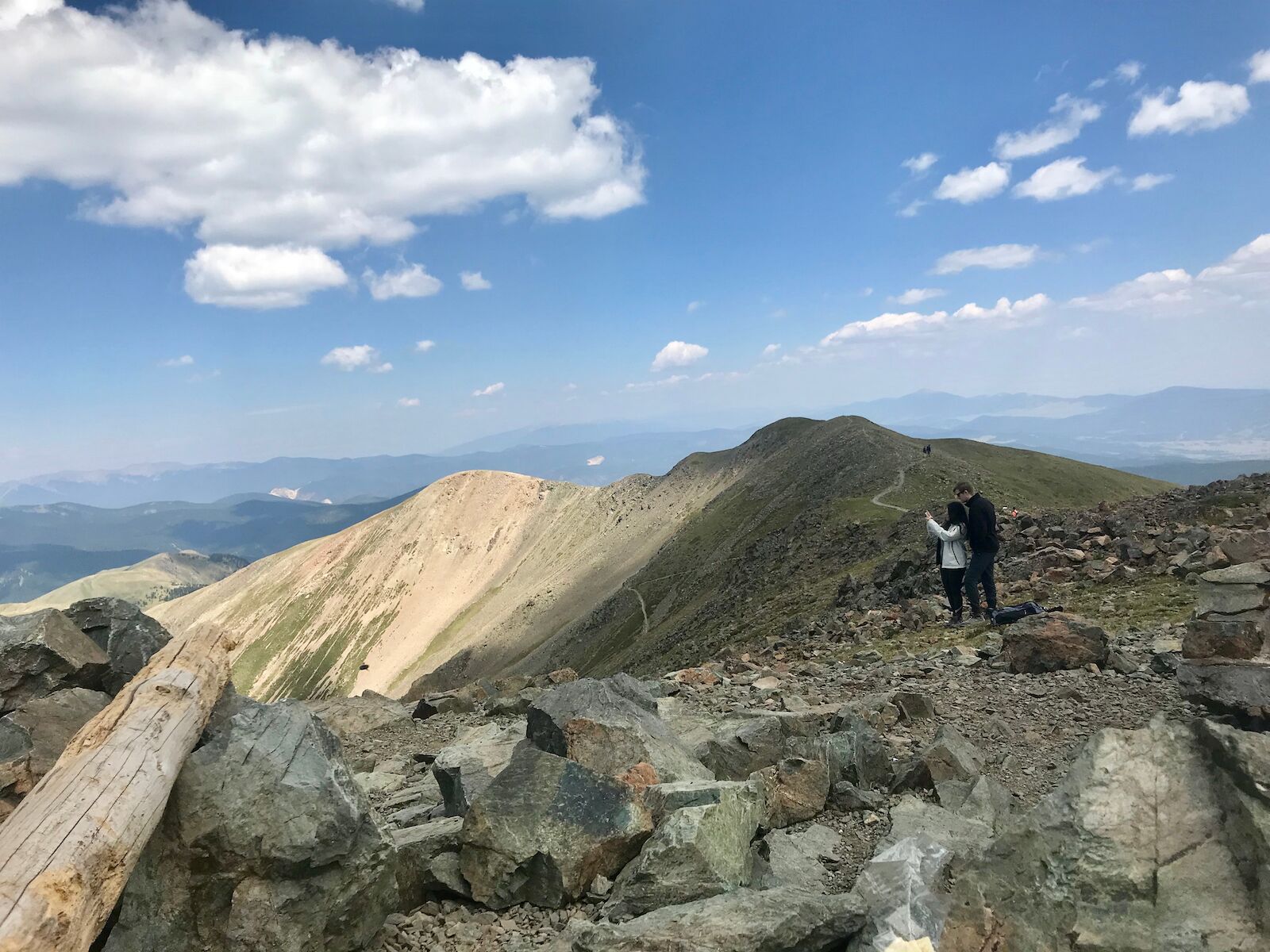
Colorado is famous in the hiking community for its 14ers, and Mount Elbert is the highest in the state, making it also one of the highest peaks in the US. All 58 of Colorado’s 14ers are hard. but at under 5,000 feet of elevation gain and with no major hurdles, it’s one of the the state’s easier 14ers. (But, again: it’s still challenging. Don’t underestimate it).
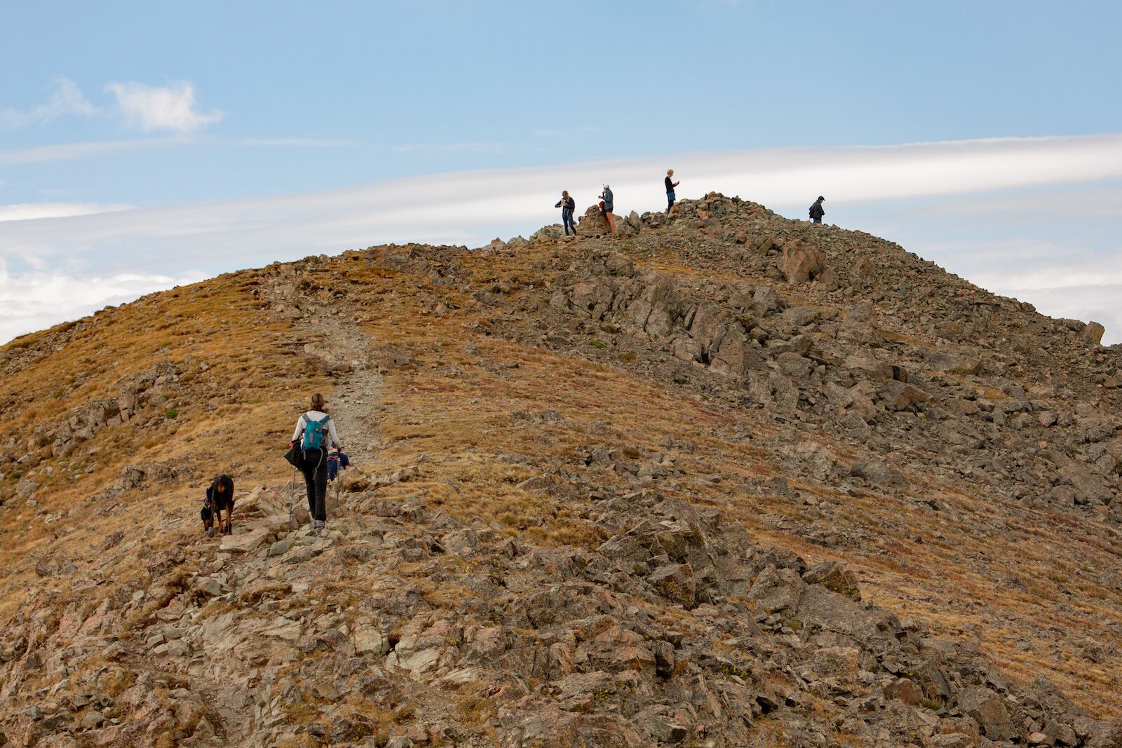
It’s very doable in a day for fit hikers and doesn’t have any incredibly difficult features, save for the fact that much of the hike is above treeline and has no protection from wind and weather. You don’t need a permit, and you’ll want to get there early since it’s a popular trail. You’ll have great views of the Sawatch Range nearly the entire time and it’s well-marked, making it a good starting 14er if you’ve never hiked one before. More information.
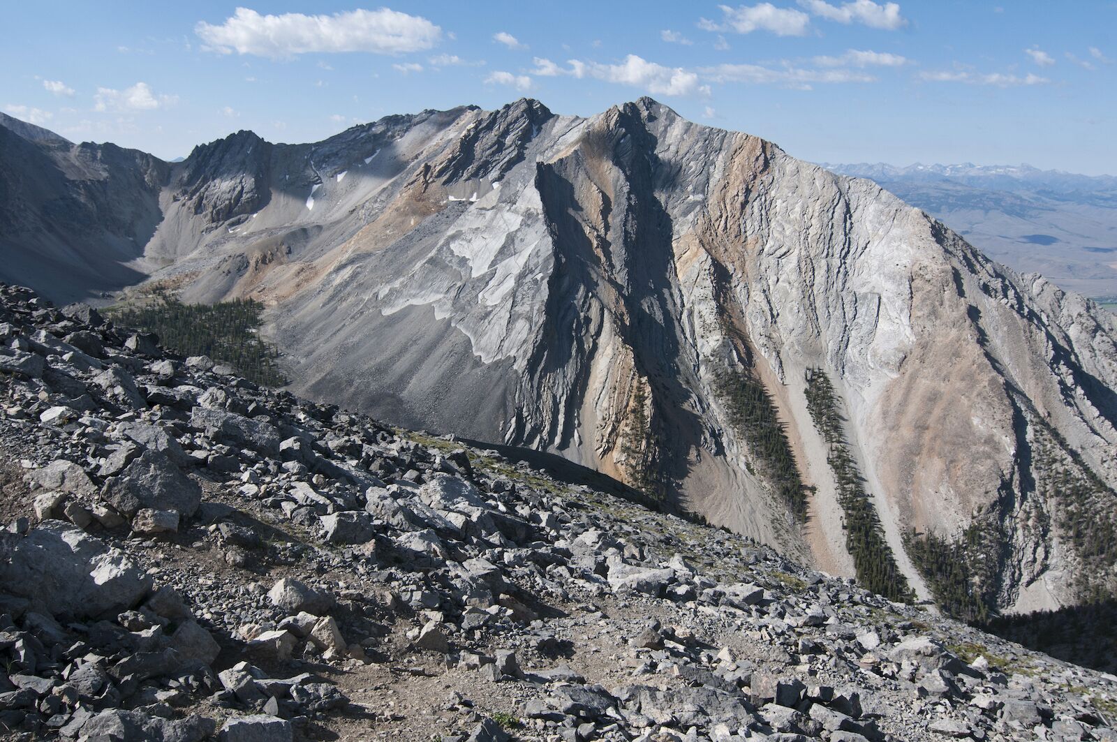
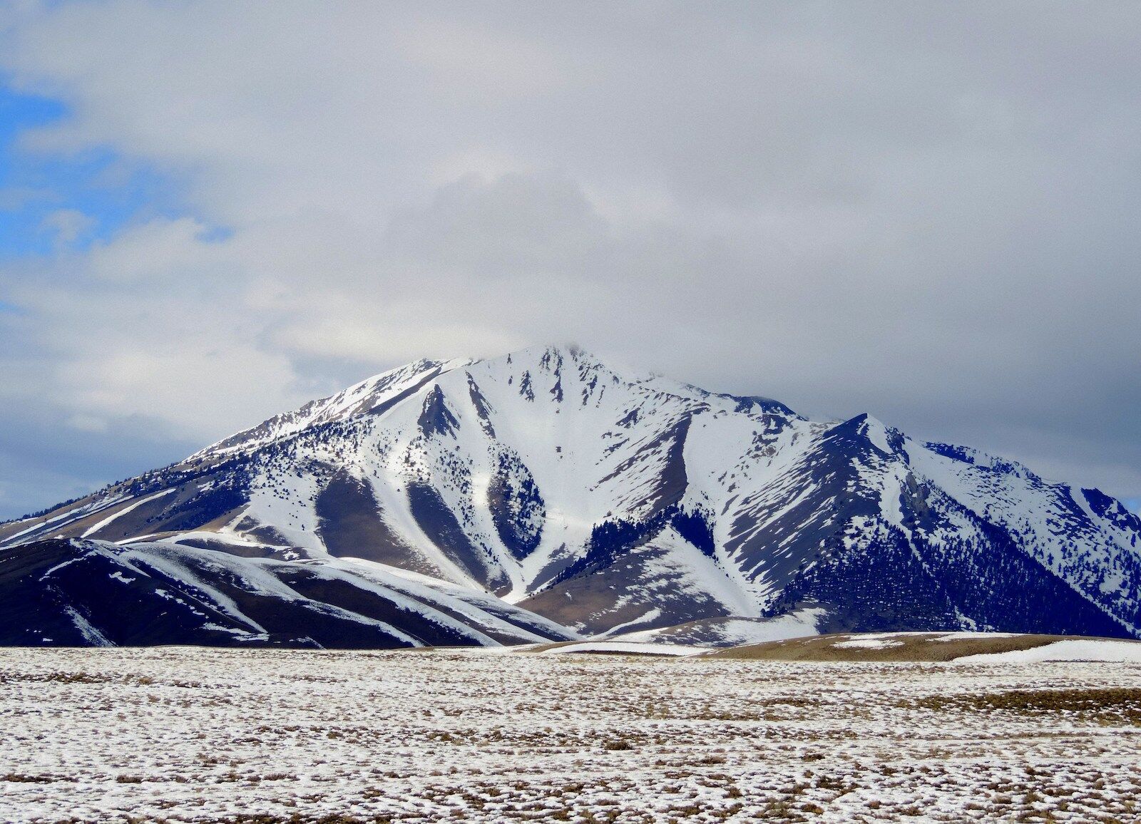
Borah Peak, also known as Mount Borah, may be one of the highest peaks in the US by state, but it’s one of the more mellow options on this list. An enthusiastic hiker in good physical shape could do it in a day. It’s still no joke, and there’s even a well-known stop on the route called “Chicken Out Ridge” where people often stop and take a break before attempting the next section: a scramble that requires use of your hands and feet to safely ascend. Then there’s an awkward little climb to the top top.
If you’re a hiker familiar with variable conditions, scrambling, and safely moving through snow patches (and you don’t mind gaining more than 1,000 feet per mile), it should be more or less in your wheelhouse. If you haven’t moved across a scramble before or think the per-mile gain is at the top of your physical limits, you can still try it. Just set a fixed turn-around time: a time at which point you’ll turn around regardless of where you are on the trail, to ensure you make it back down before dark. You can always come back and try it again, since you don’t need a permit (though there’s a $5 fee if you want to camp nearby). More information.
Granite Peak can be a hard two-day hike or a really hard one-day hike — your choice. If you do it as a one day, make sure you train in advance — while it’s not as high as Mount Whitney, it actually has more elevation gain, averaging close to 700 feet of elevation gain per mile for 11.3 miles. Even if you could do it as a one-day, the campsites along the route are stunning and worth adding an extra night if you’re a fan of sleeping under the stars.
Unfortunately, the hardest point of this hike comes right before the summit, when your legs are spent and you’re probably windblown and tired. Just before you reach the summit is the only spot with a significant downhill, losing about 800 feet of elevation in half a mile. From this low point, you’ll face a scramble to get to the summit, usually rated as a Class 3 or 4. Most people don’t use ropes, but you’ll need to use caution as there are large boulders and no guarantee that everything is stable. This is also where you’ll find the infamous “snow bridge” which can be slippery and/or thin. Use extreme caution.
If you decide to camp near the top, you’ll probably do so at the ominously named Frozen to Death Plateau, which is relatively close to the top (but subject to very strong winds). Camping on the FTD Plateau is not the time to phone it in on using your tent stakes. More information.
When most people think of Nevada they probably think of Las Vegas, but there’s so much more to the state. The arguably prettier side of Lake Tahoe is in Nevada, and the state’s Great Basin National Park is one of the least-visited in the park system (and ideal for last-minute road trips).
However, Boundary Peak isn’t near the northern Nevada mountains — it’s actually just a mile or so from the California state line, very close to Mount Whitney and Lone Pine. So if your legs can handle it, you could hike the two back-to-back. The route is pretty by the book with a gradual gain. Don’t expect any shade and know that the trail can get very dry and dusty in the middle of summer. Most people start from the trailhead listed here, but you can also take the Queen Mine Trail to the summit. It has similar stats, but the road to reach the trailhead can be pretty rough and uneven unless you have a high-clearance SUV. More information.
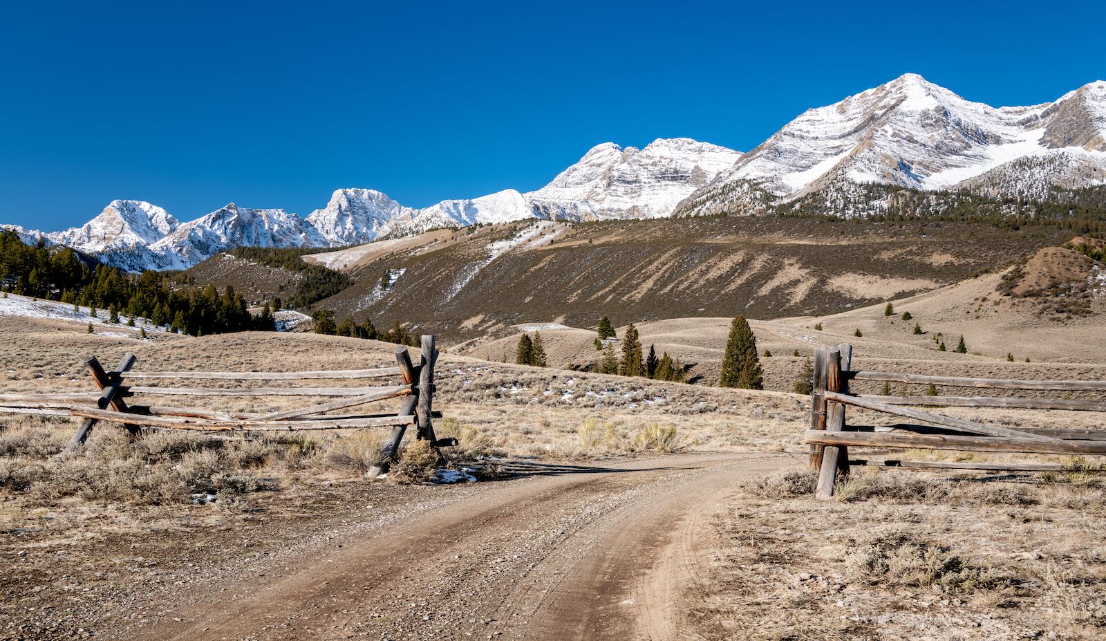
New Mexico’s Wheeler Peak is probably the easiest of the highest peaks in the US western states to summit, but it still packs nearly 3,000 feet of elevation gain into just over four miles. There’s nothing particularly unusual about this hike, but you’ll want to take the standard precautions you do with any hard hike. Expect strong wind and changing weather once you get above treeline, and bring more food and water than you anticipate since the area can be very dry. Bring a traction device and be prepared to travel through snow near the top if you attempt it before June. Though even in June, there could be snow.
There are two routes on Wheeler Peak. The shortest and most popular with day hikers is Williams Lake, but Bull of the Woods is longer and better for overnight trips as it tends to be less busy. Without snow and with ideal weather, very experienced hikers should be able to make the trip in about four hours. There are bathrooms in the parking lot, and given Wheeler Peak’s proximity to Taos, you should be able to find a comfy place to kick up your feet at the end of the day. More information.
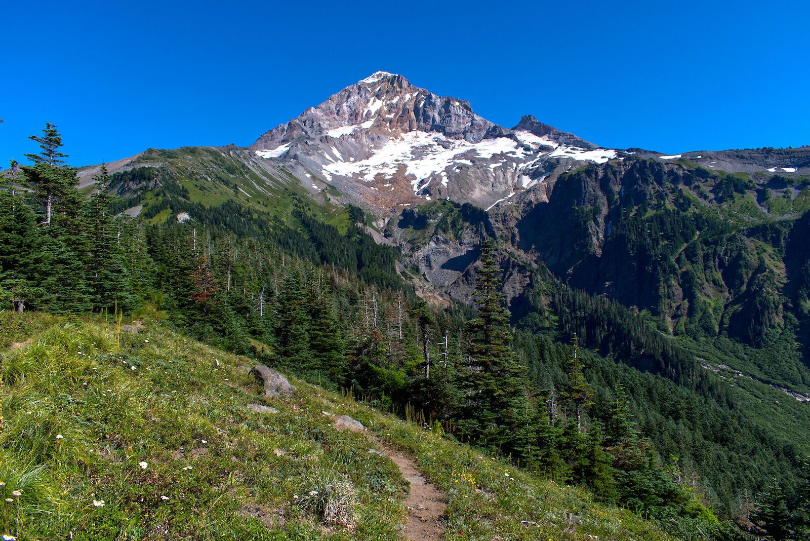
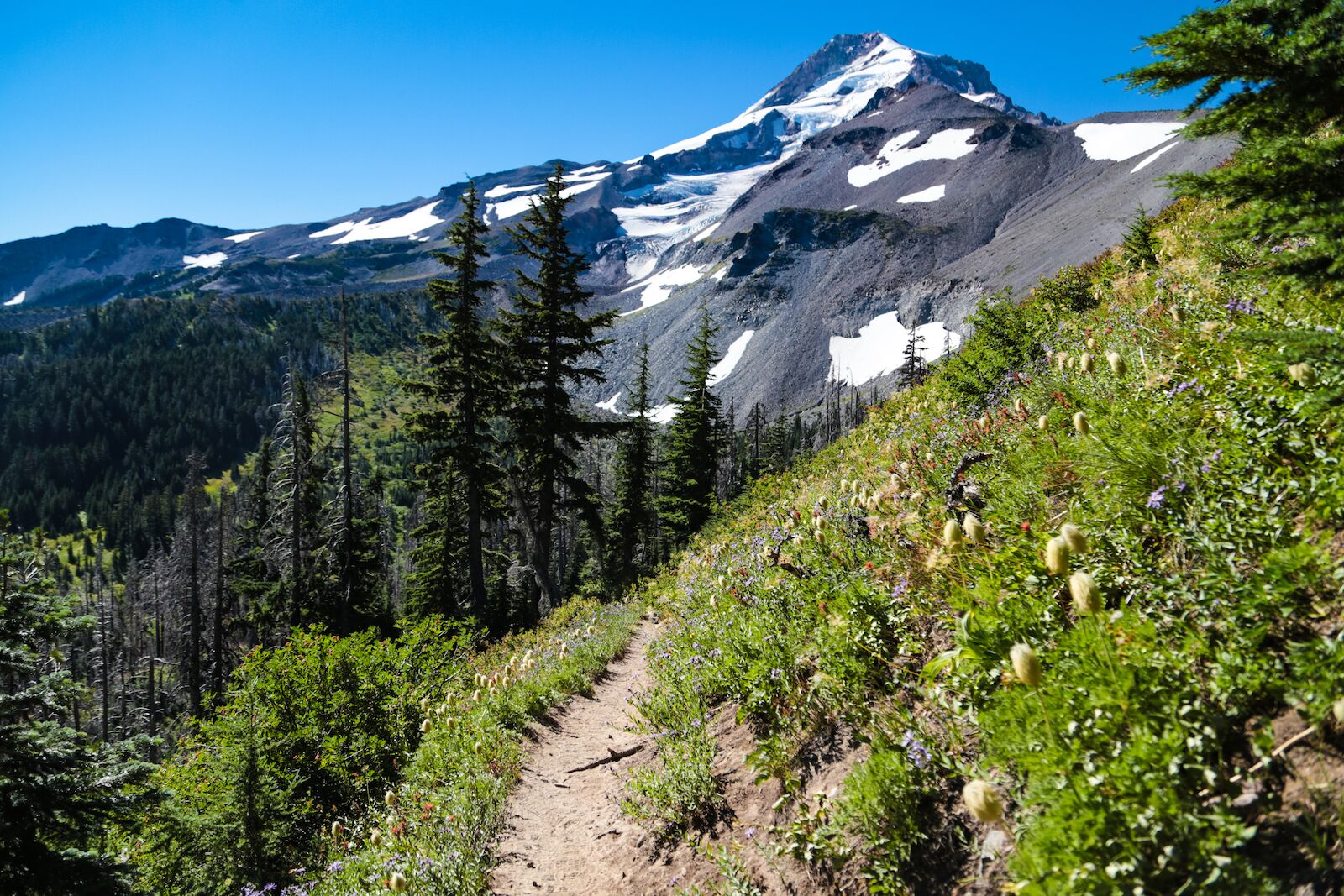
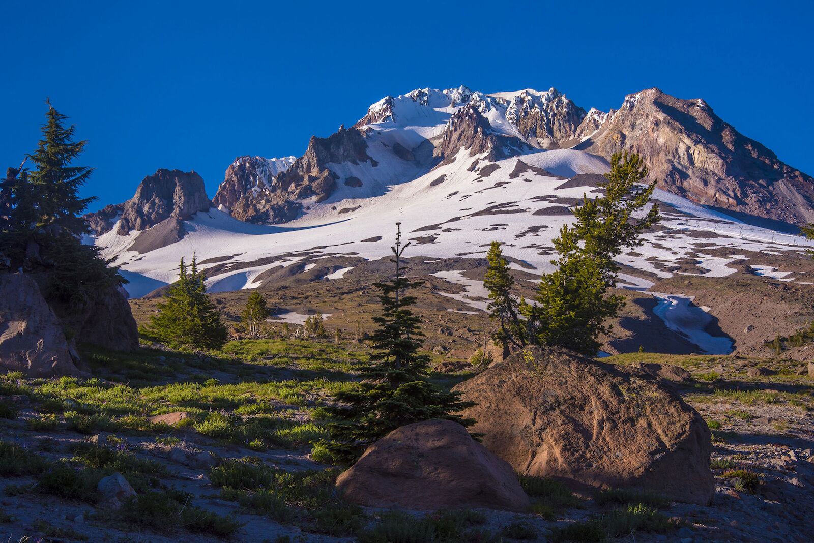
At the surface, Mount Hood may look like one of the easiest peaks on this list — at least if you only go by the milage. It’s one of the highest peaks in the US’s western states, and you can drive relatively close to the top. In fact, the starting point of this trail is Timberline Lodge, a ski resort open usually 10 or 11 months out of the year.
From Timberline, the trail is more or less a straight shot to the summit of the “potentially active” volcano, with the elevation gain spread more or less evenly over the 3.2 mile climb. That said, the hike still averages more than 1,600 feet of elevation gain per mile, so just because it’s even doesn’t make it easy. And there’s a rocky, steep climb near the top than can often be icy and snowy. Use extreme caution.
When you’re back near the car, consider stopping for a drink or snack at the historic Timberline Lodge. The beautiful building was built in 1937, and if it looks familiar, it’s because it was a filming location for one of the biggest movies of the the 1980s: The Shining. It was used as the exterior of the “Overlook Hotel,” where — spoiler alert — things don’t turn out so well for the main character and his family. More information.
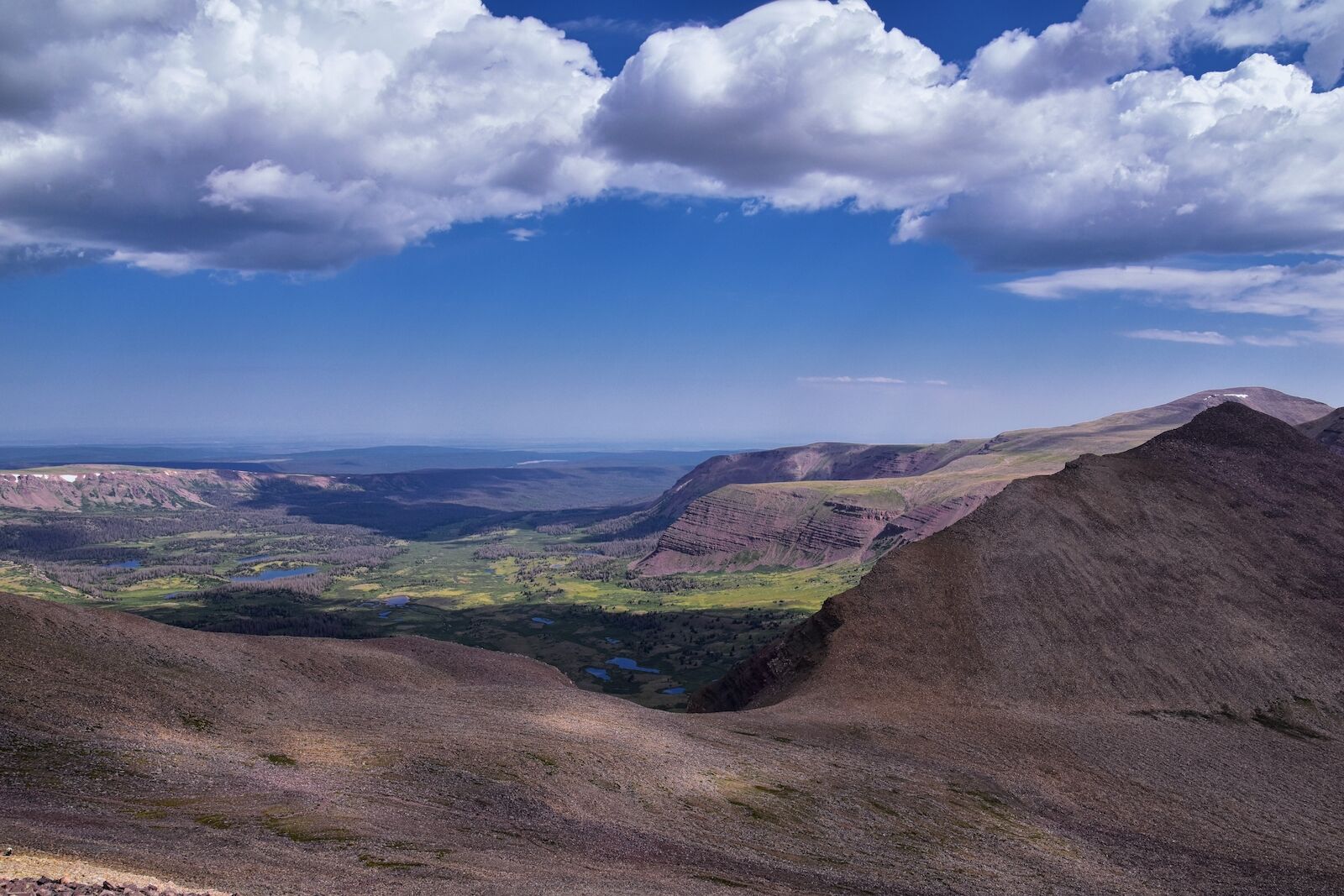
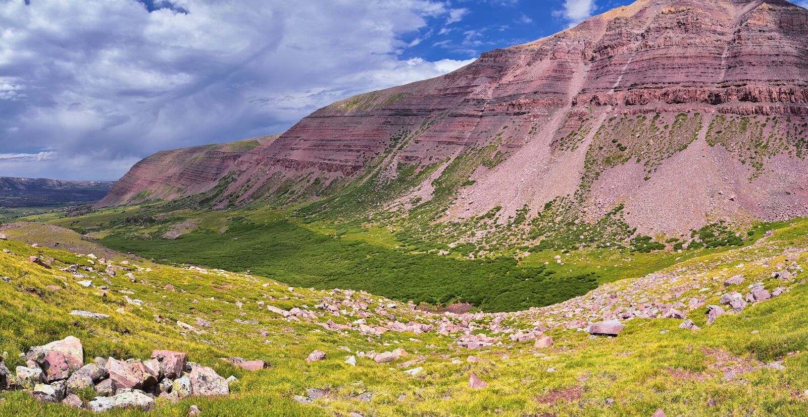
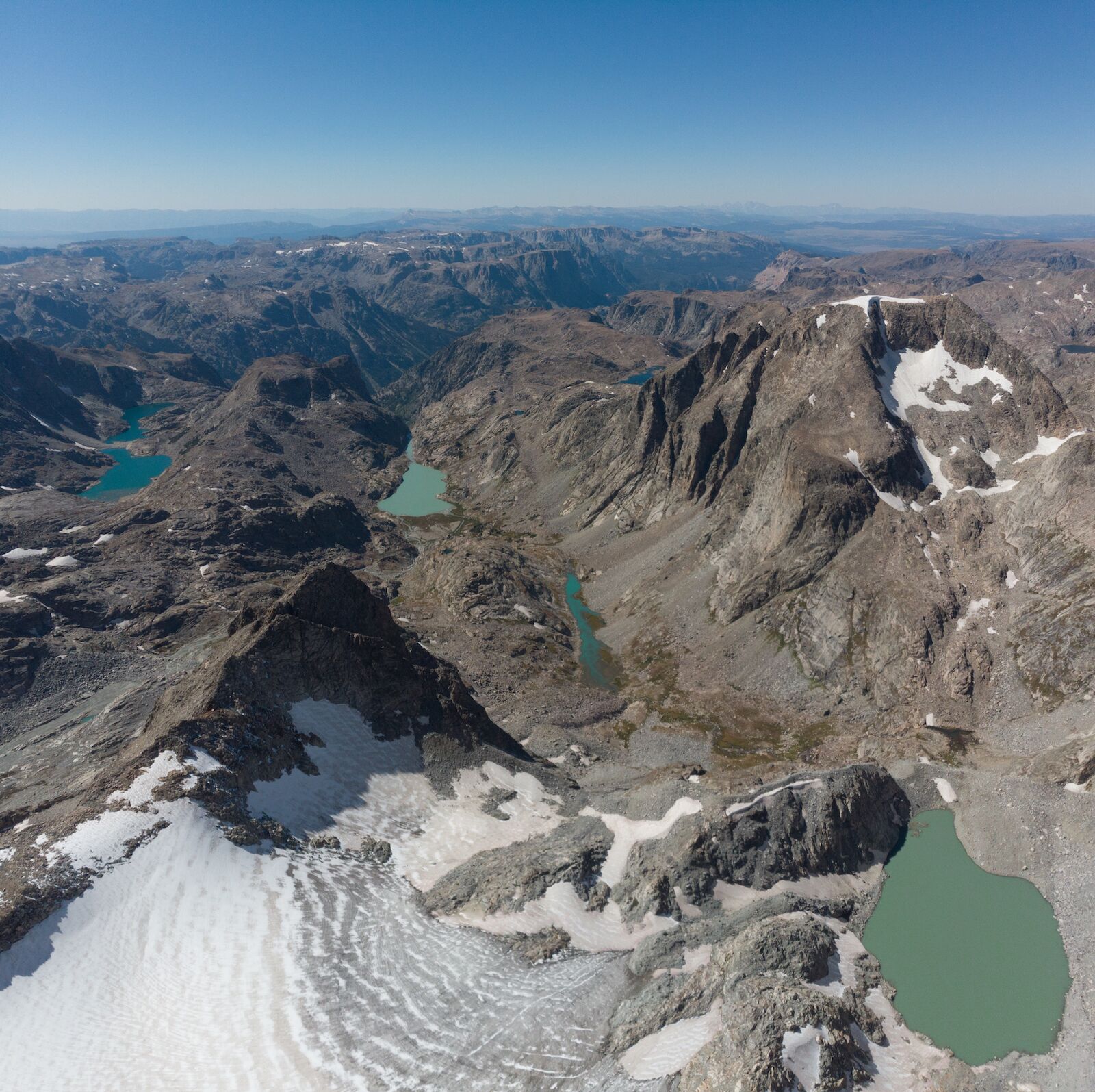
King’s Peak is an excellent hike to do as an overnight or even a two-day trip — not just because it’s challenging, but because many of the backcountry campsites are near stunning alpine lakes. It’s a good backpacking route if you’ve backpacked and done challenging routes before, but haven’t backpacked a challenging route. The trail passes several lakes (i.e. water sources) and has a rathe steady gain with an average of around a four-percent incline.
That changes in the last four or so miles when the grade goes as high as 21 percent in some places on the push to the summit — but what did you expect from one of the highest peaks in the US? More information.
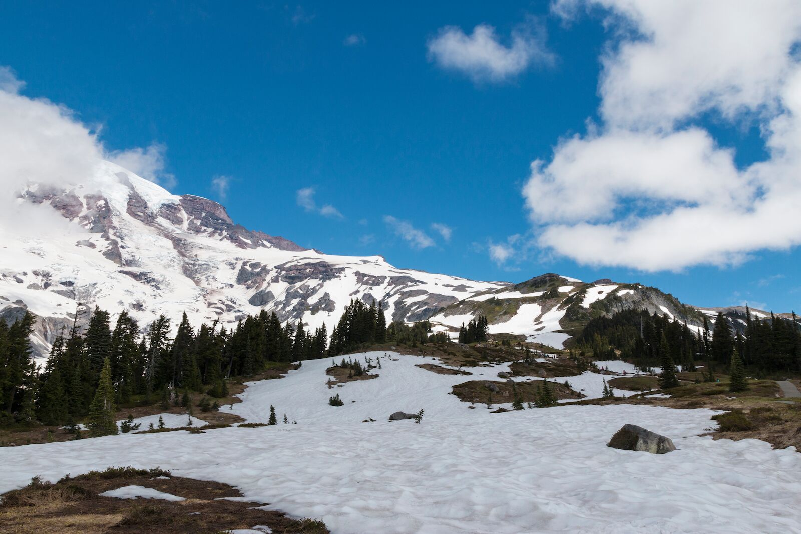
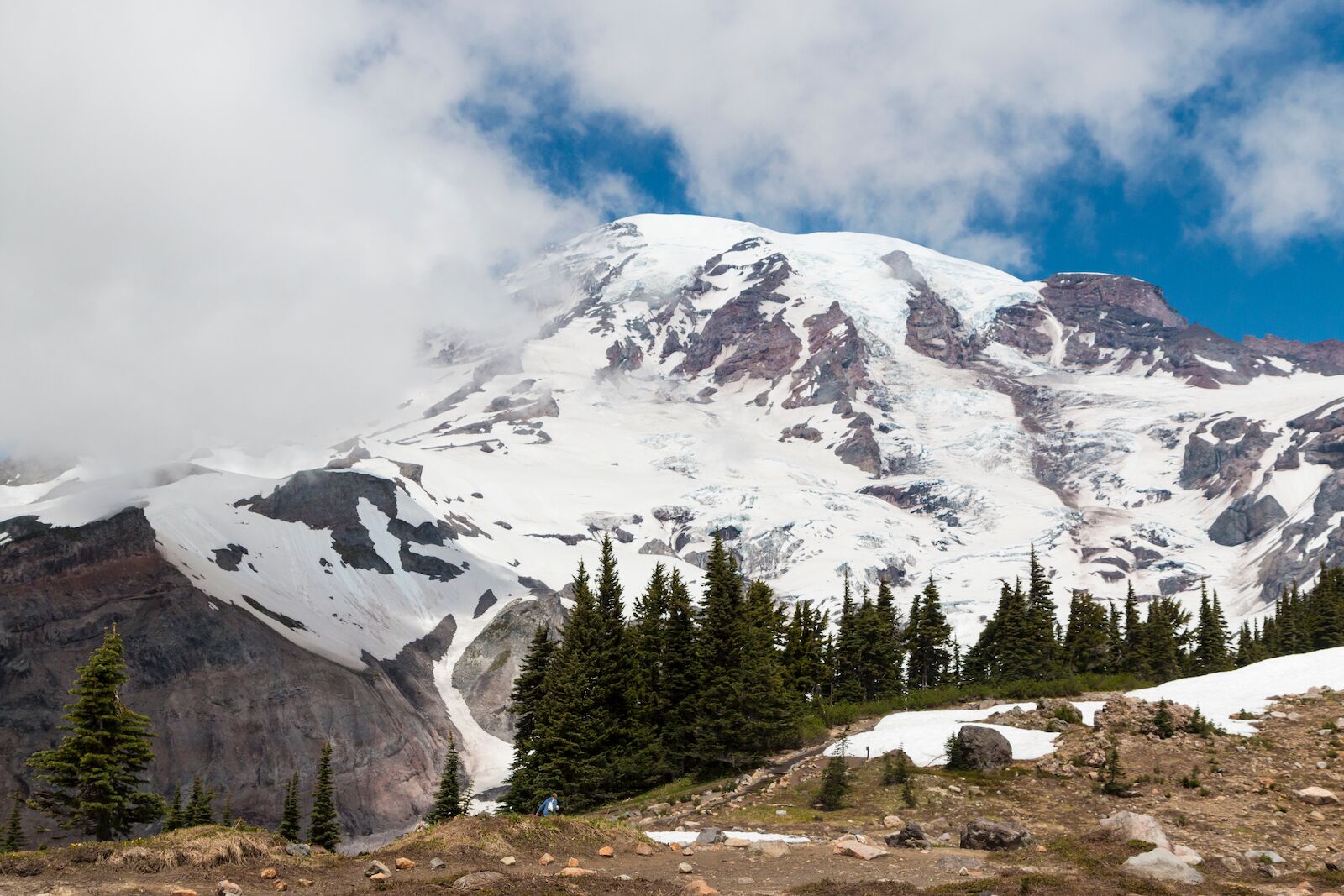
Given the right conditions — minimal snow and ice, dry trails, and warm, sunny weather — it’s possible to summit Mt. Rainier in one day. But nearly everyone does it in two or three since it includes technical elements beyond just hiking. Usually, some light mountaineering is required, which is probably why many people use a guide.
If you do it in one night, you’ll camp above the Ingraham Glacier or at Camp Muir; if you do it in two nights, you’ll camp at both. Swing two nights if you’re concerned about elevation and acclimation.
Mt. Rainier is not a hike you do on a whim. You’ll need to have experience with roping, traveling across ice, and using ice axes and traction devices. If you don’t have that experience, go with a guide. And even if you do have that experience, you’ll need to go with a guide unless you’ve managed to secure your own summit permit (which you can get at a ranger station) and a wilderness permit (which you have to do in advance online) if you’re planning to camp. You also need to pay a climbing fee, though it’s easy to do that in advance online. More information.
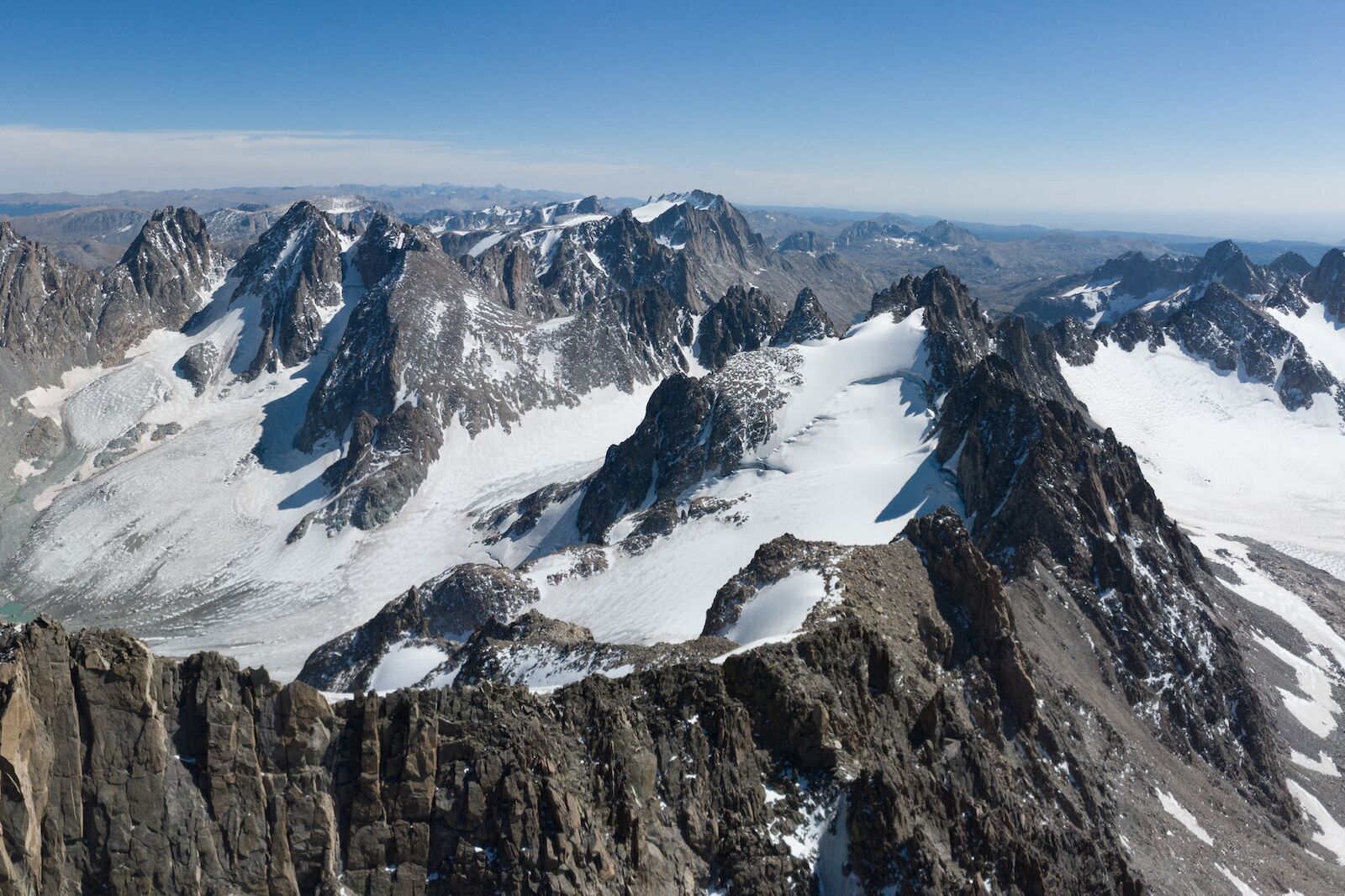
Many of the highest peaks in the US’s western states can be done in a day if you’re ridiculously fit — but Gannett Peak is not one of them. At nearly 50 miles, you’re looking at a minimum of two nights. But given the trails’s challenges, including the uneven elevation distribution, and you’ll see why most people take three or four nights.
Take a look at the elevation profile, and you’ll see that its gradually uphill for the first 10 miles, then drops about 1,500 feet in 2.5 miles, then is relatively flat for the next eight miles, then climbs about 3,000 feet in the next two miles to reach the summit. It’s hard to pace yourself, and while the downhill after mile 10 may feel like a nice break, don’t forget that you’ll have to climb all that, and then some, the next day.
If you make it to the top, take note of the snowfield: it’s the Gannett Glacier, the largest glacier in the US Rocky Mountains. More information.