Photo: Galyna Andrushko/Shutterstock

The 10 Hardest Hikes in California Only Experts Should Attempt

California Palm Springs Outdoor Hiking
by Suzie Dundas Apr 14, 2022

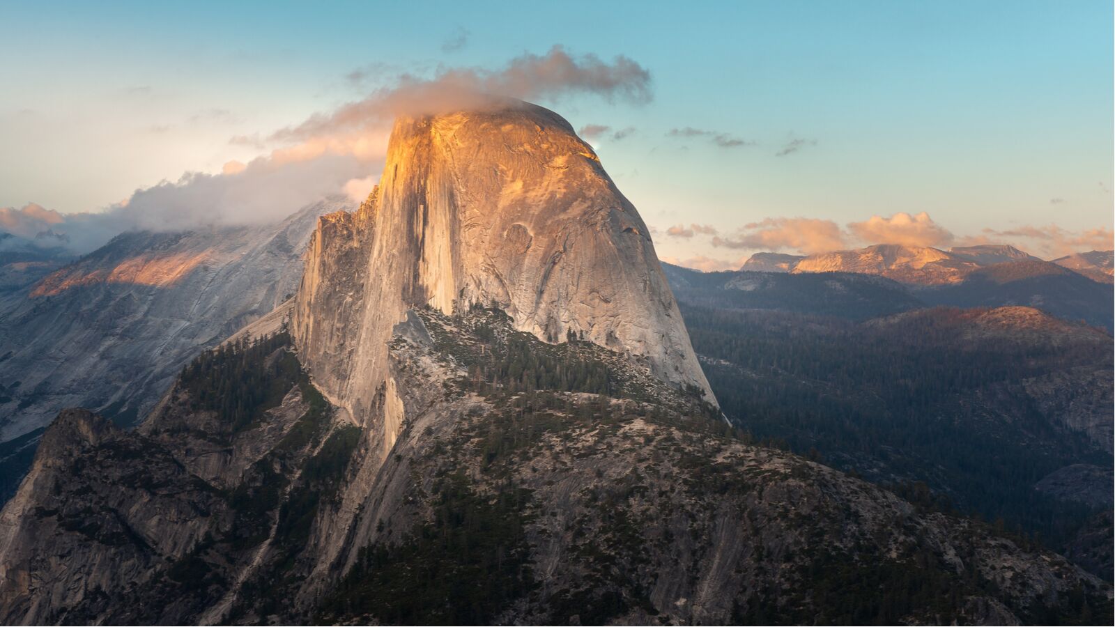
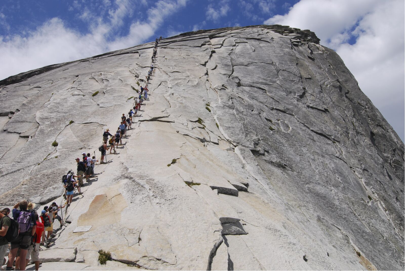
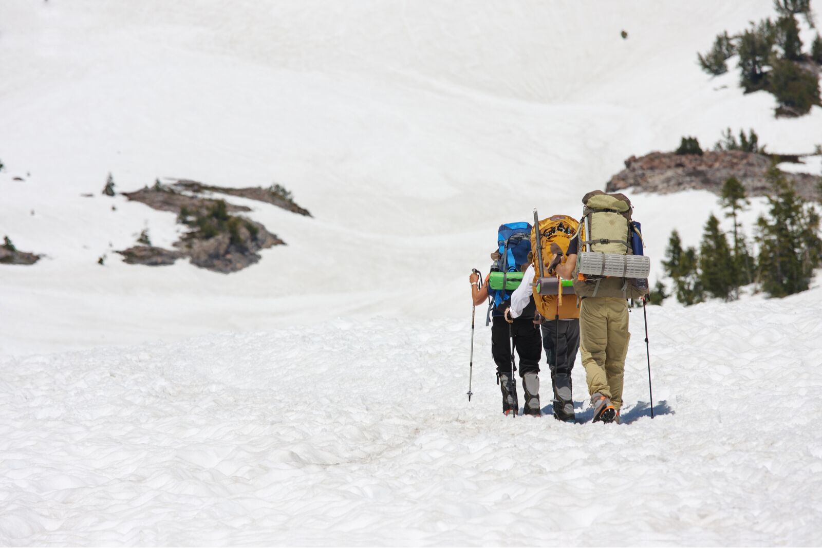
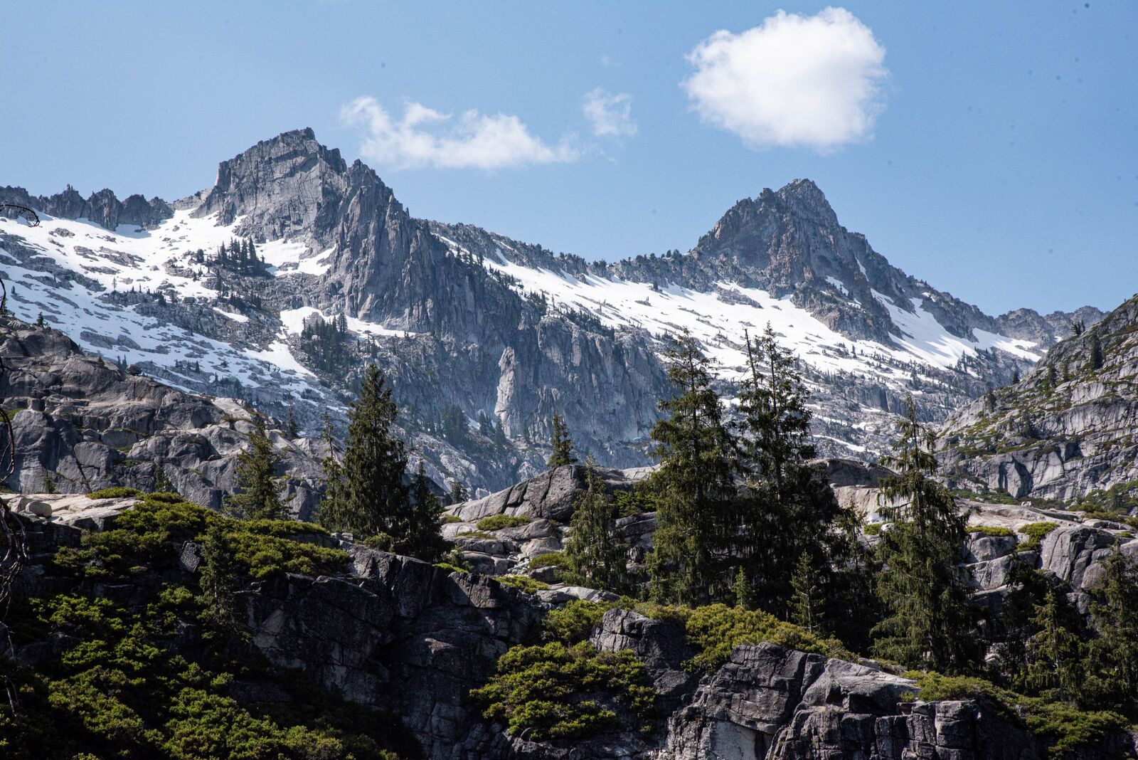
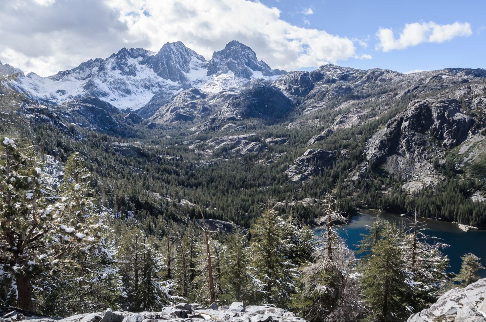
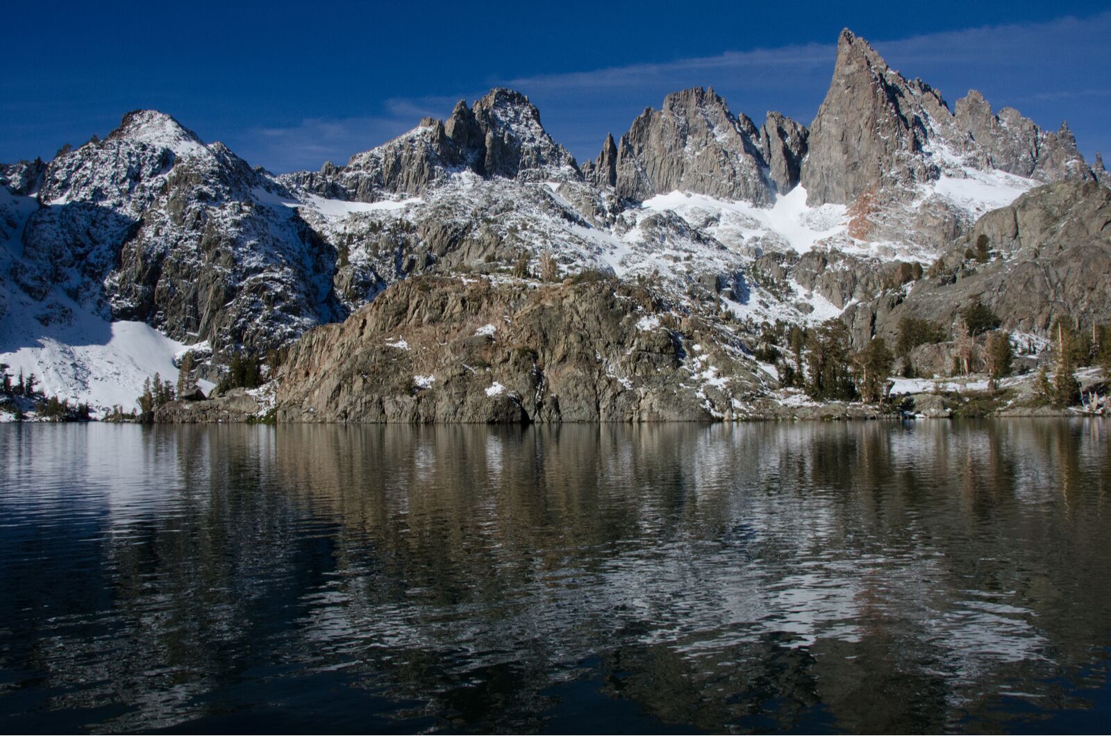
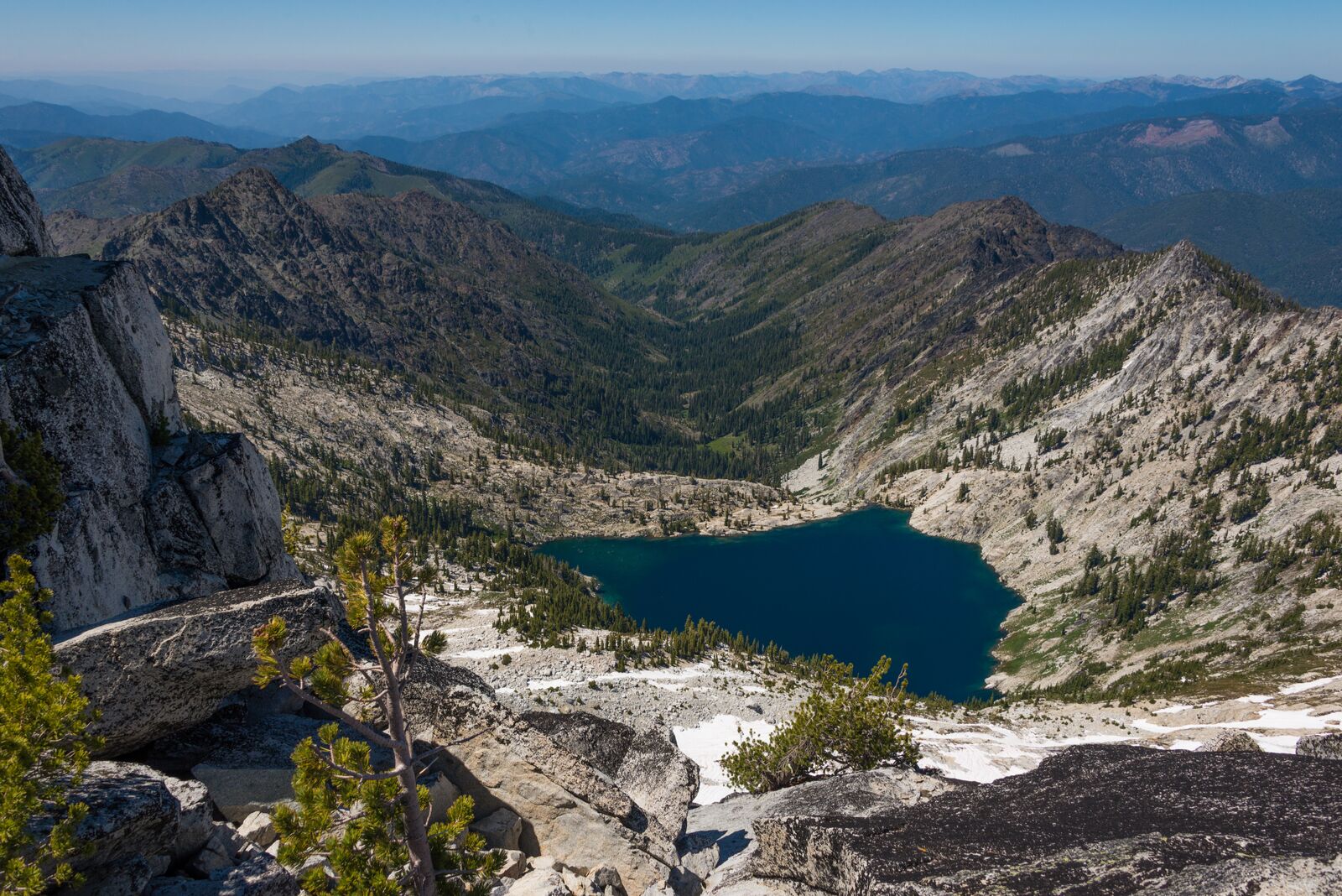
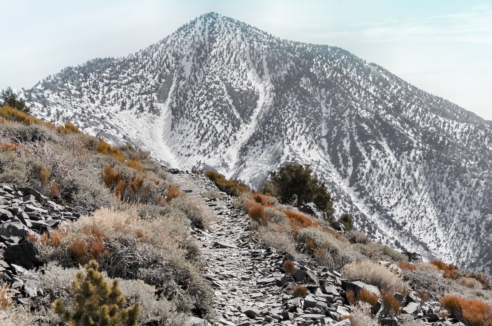
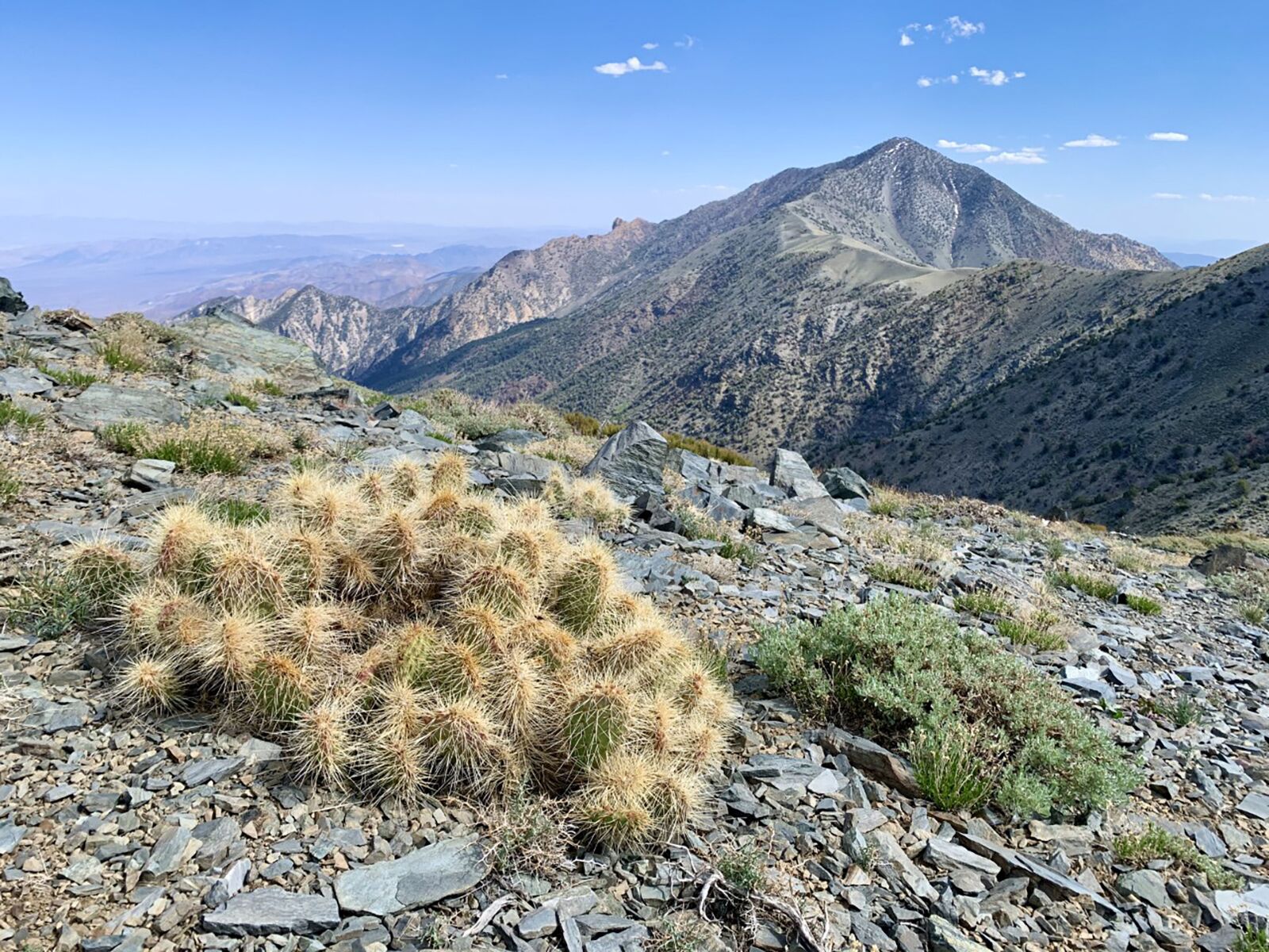
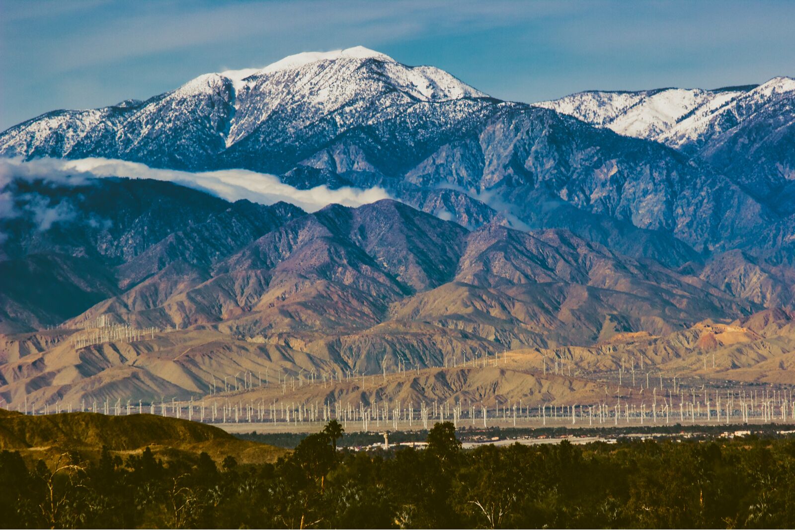
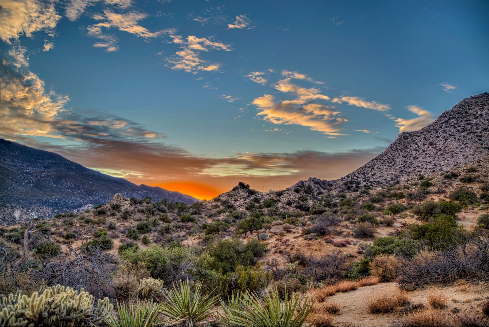
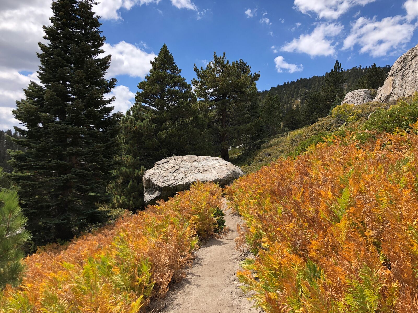
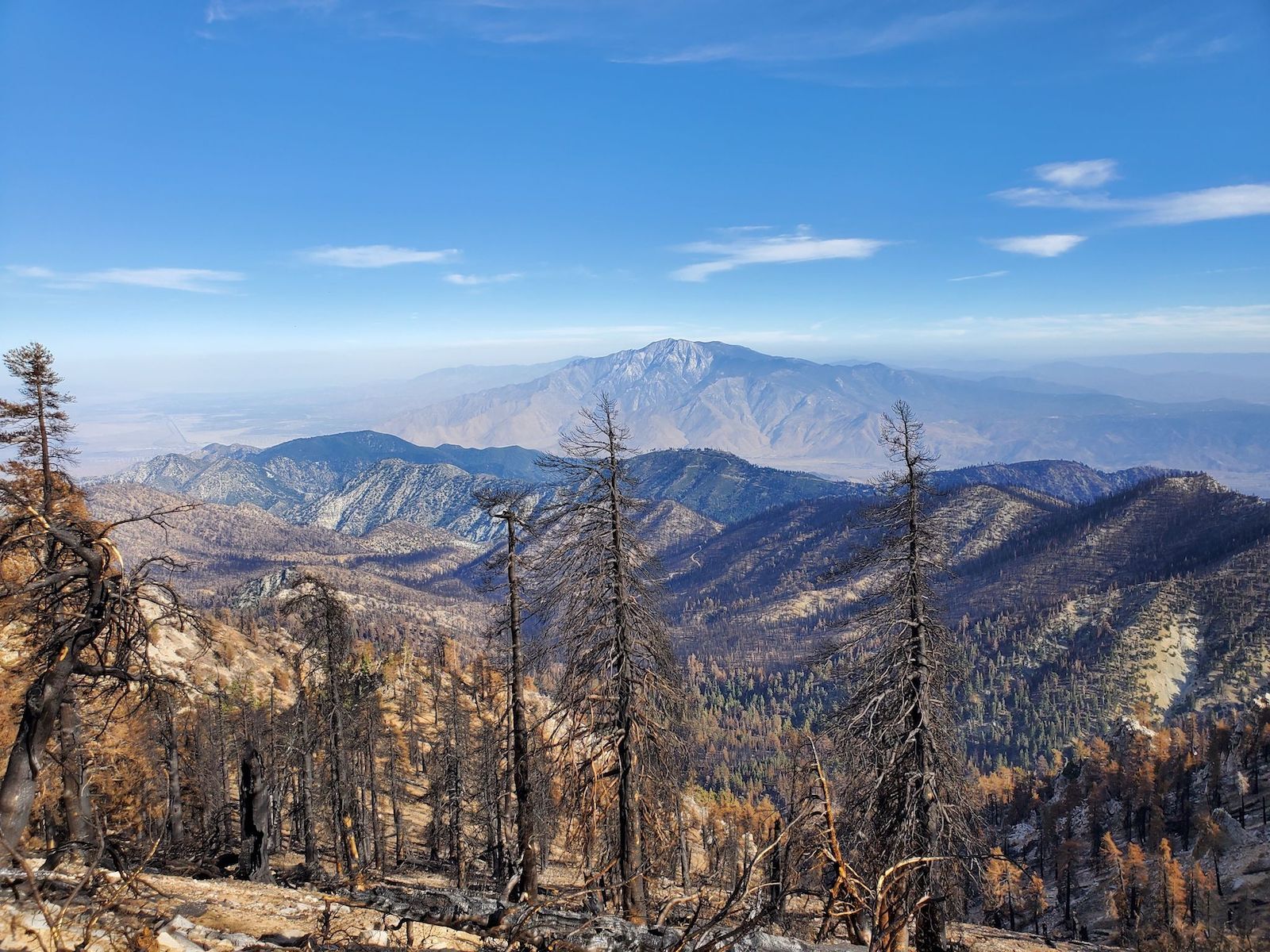
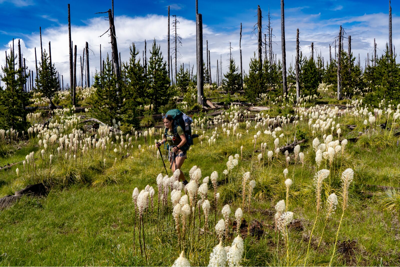
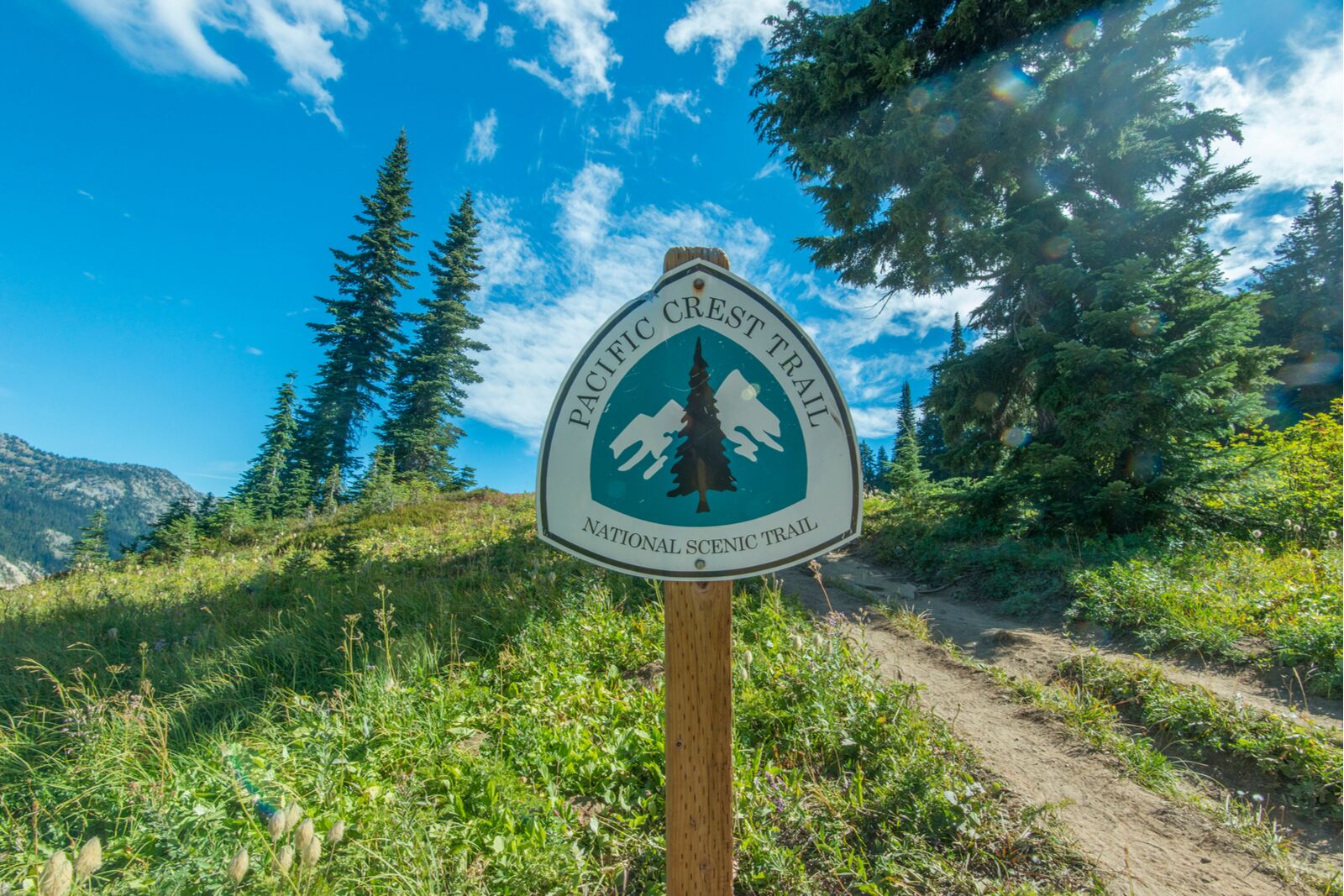
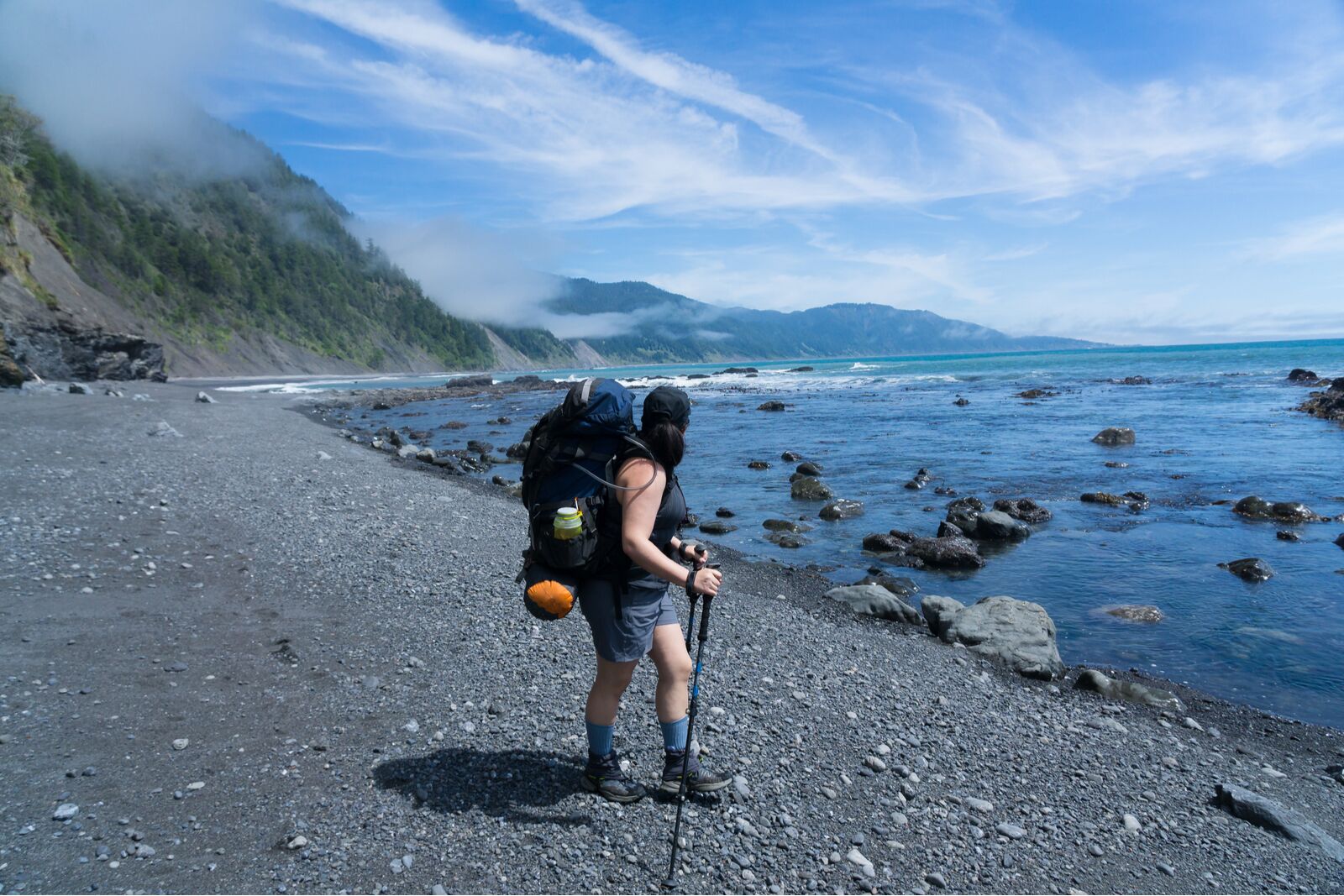
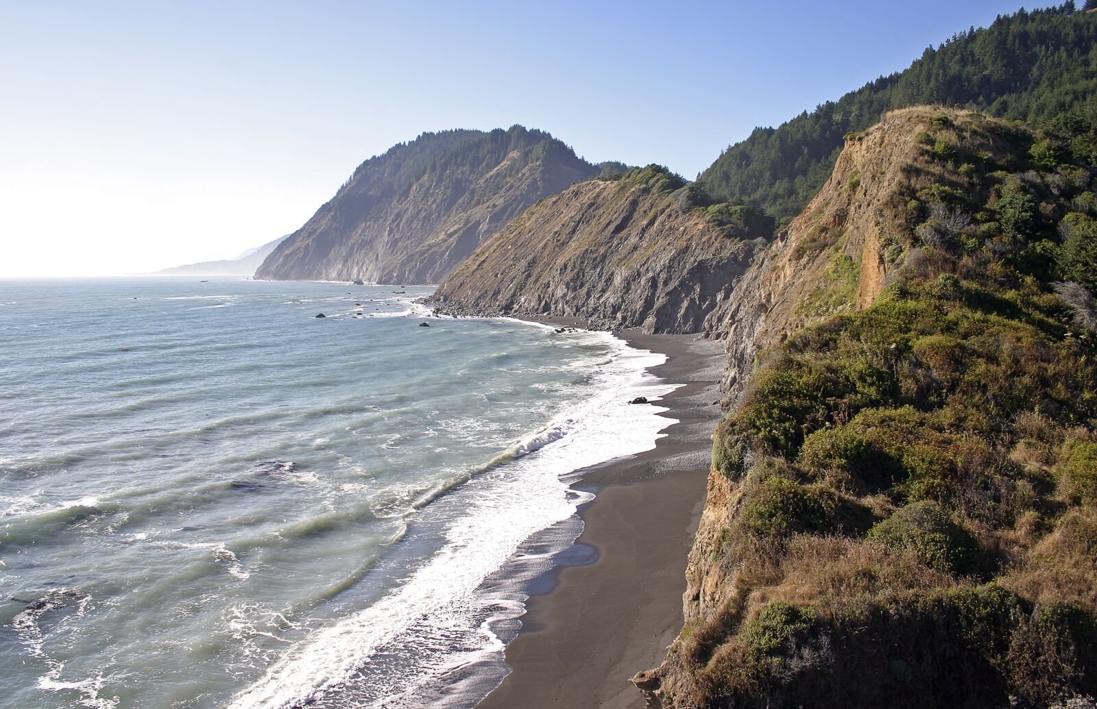
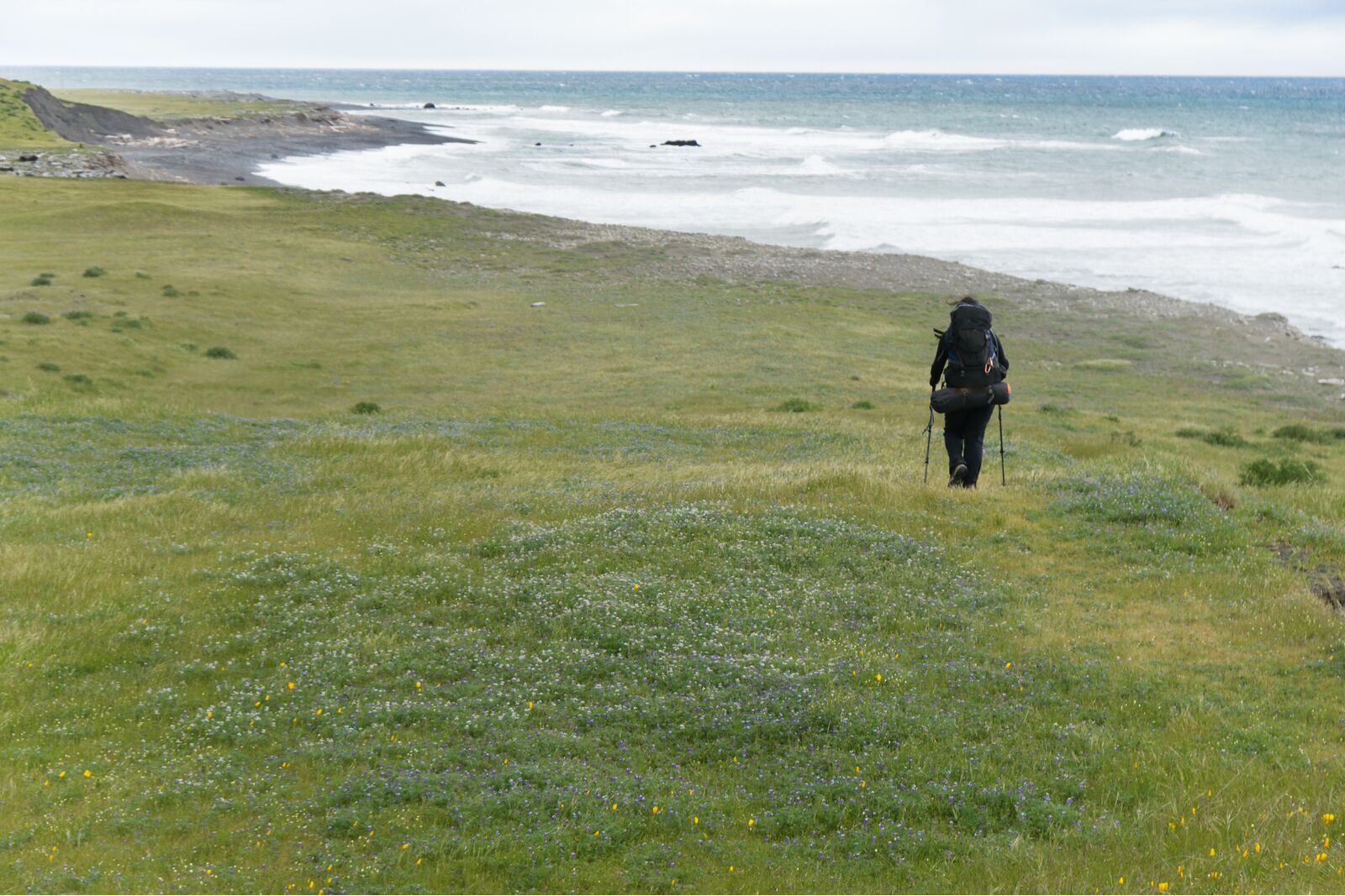
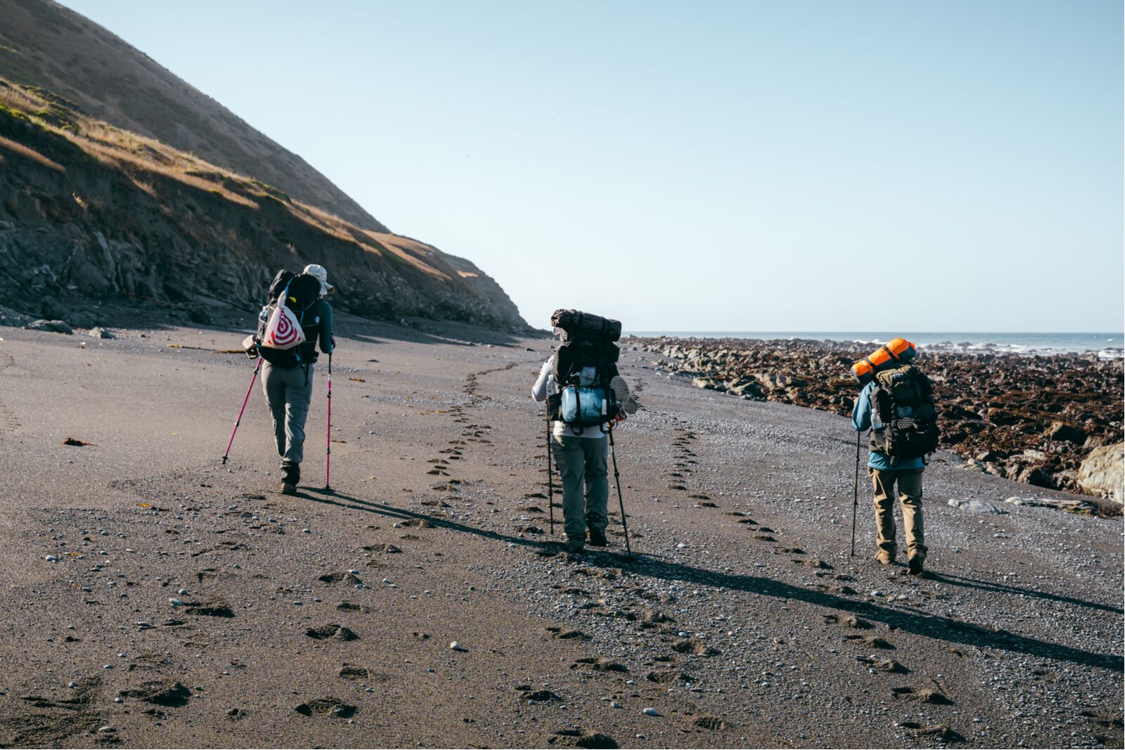
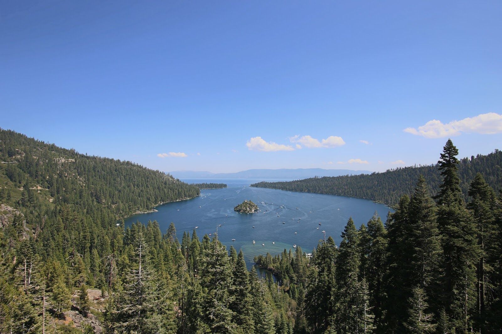
Sure, lots of states have challenging hikes — looking at you, Colorado. But what California lacks in 14’ers it makes up for in diversity, from the furnace-like heat of hiking in the southern California desert to the rainy, mist-filled forests of the northern “Lost Coast.”

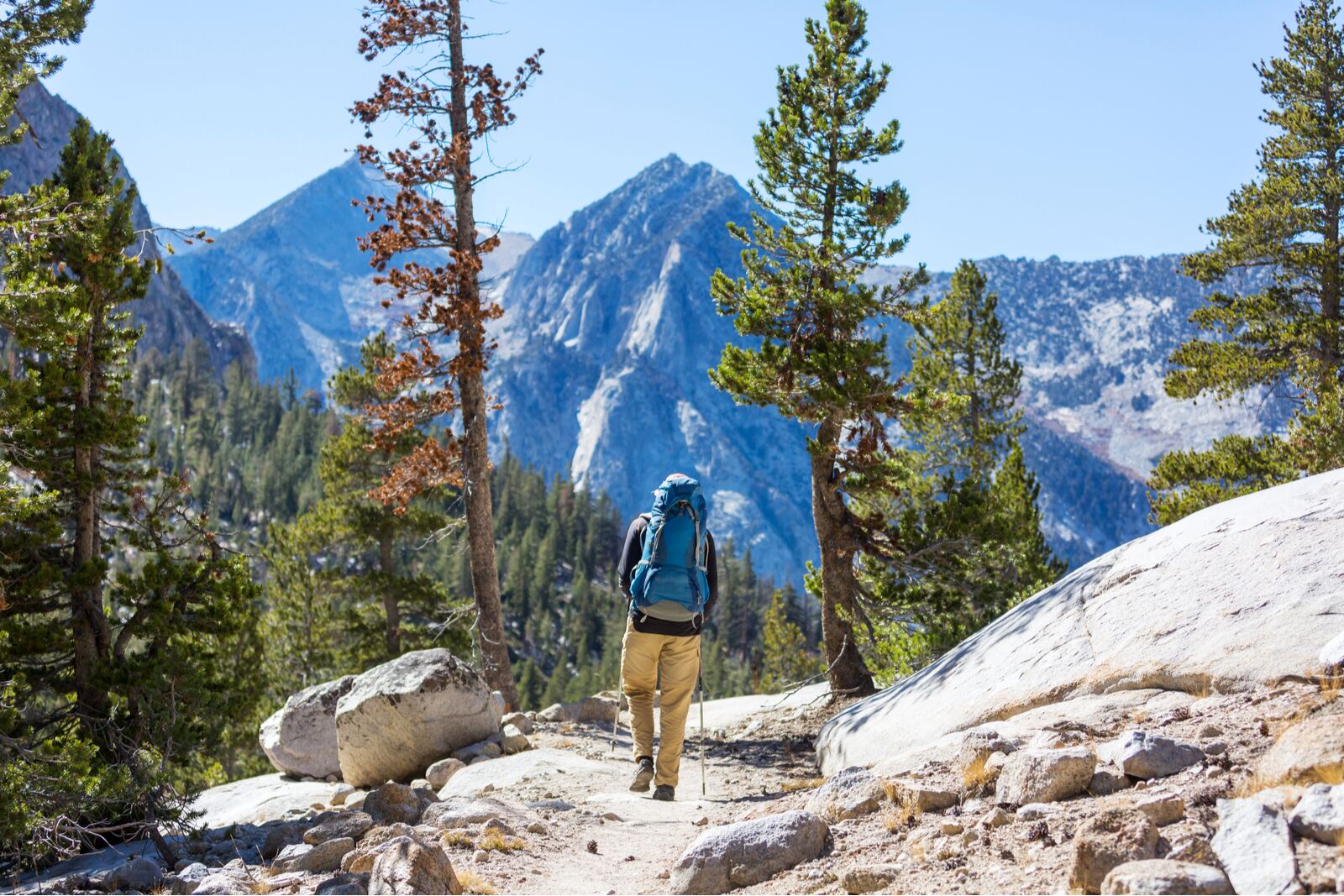
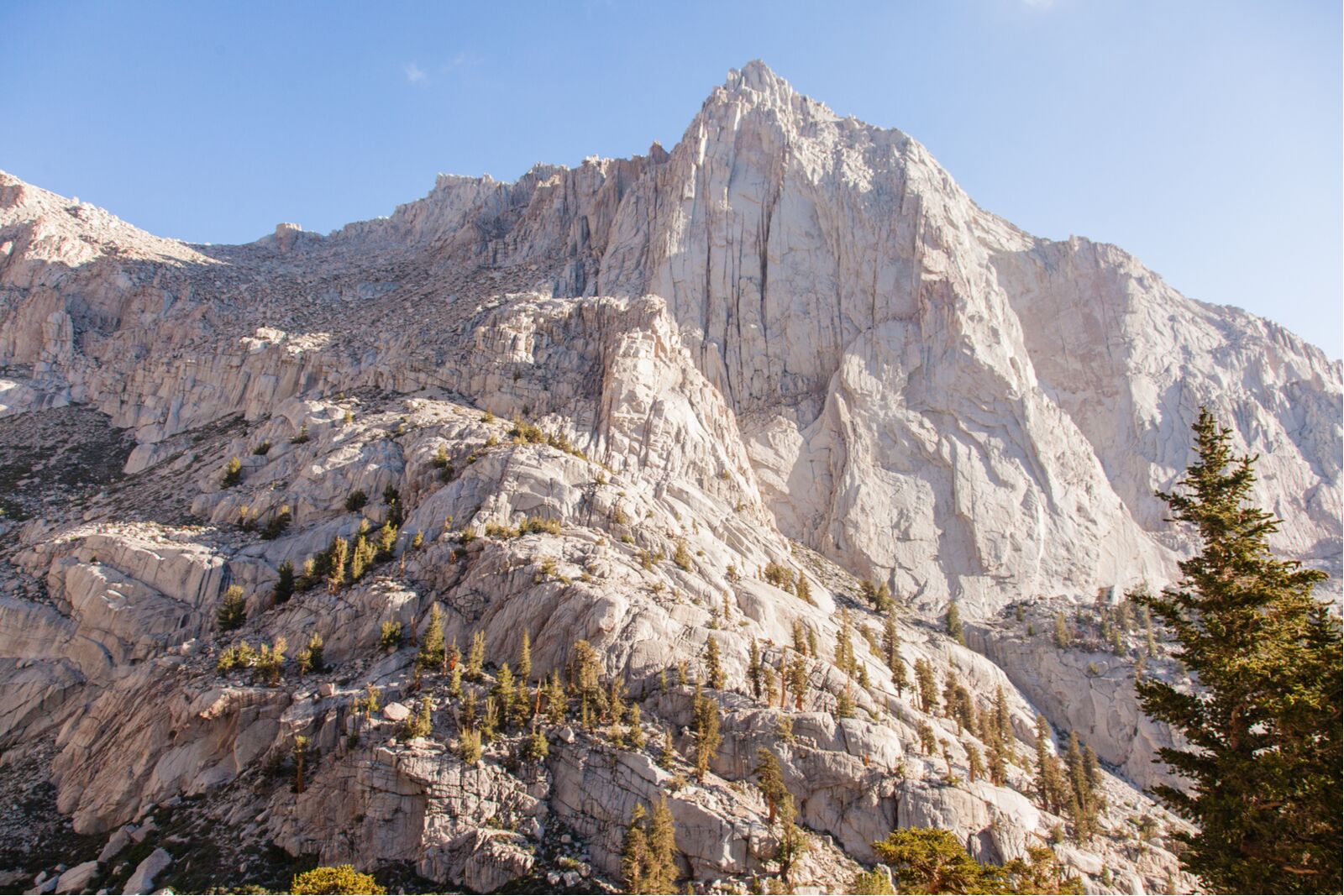
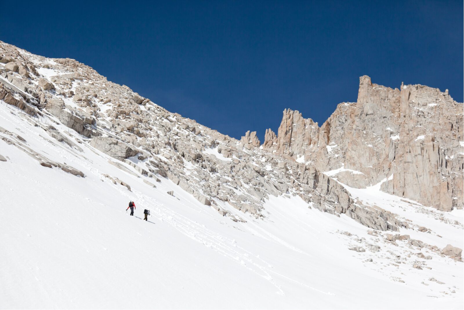
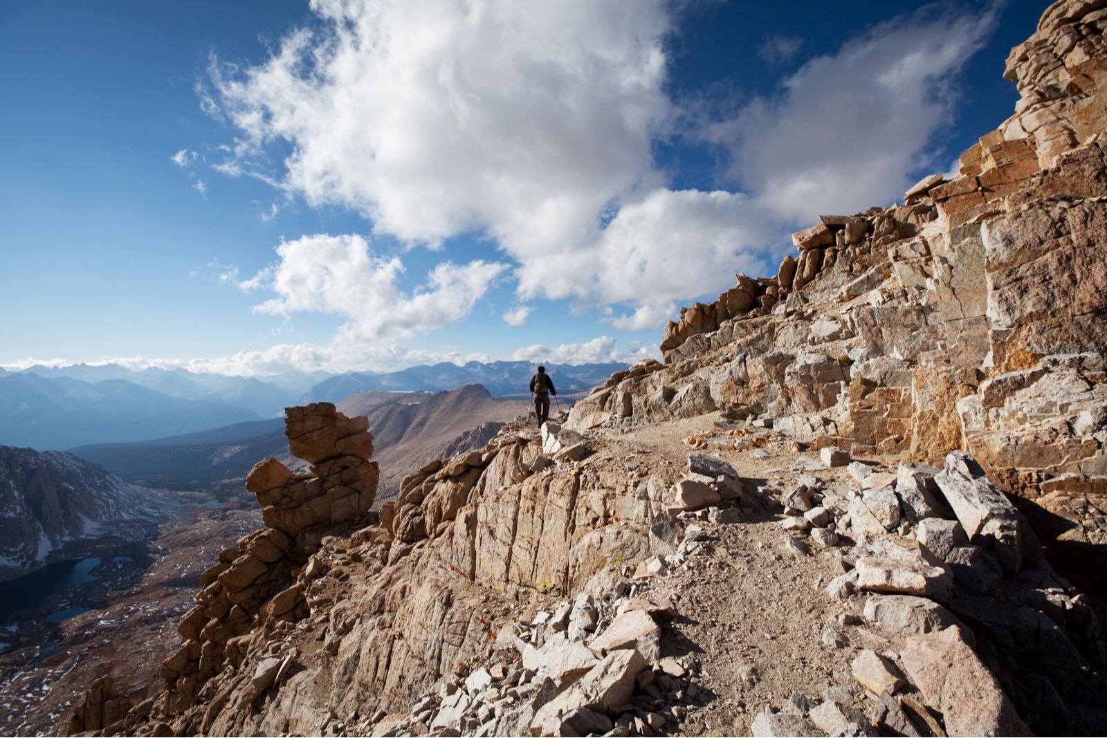
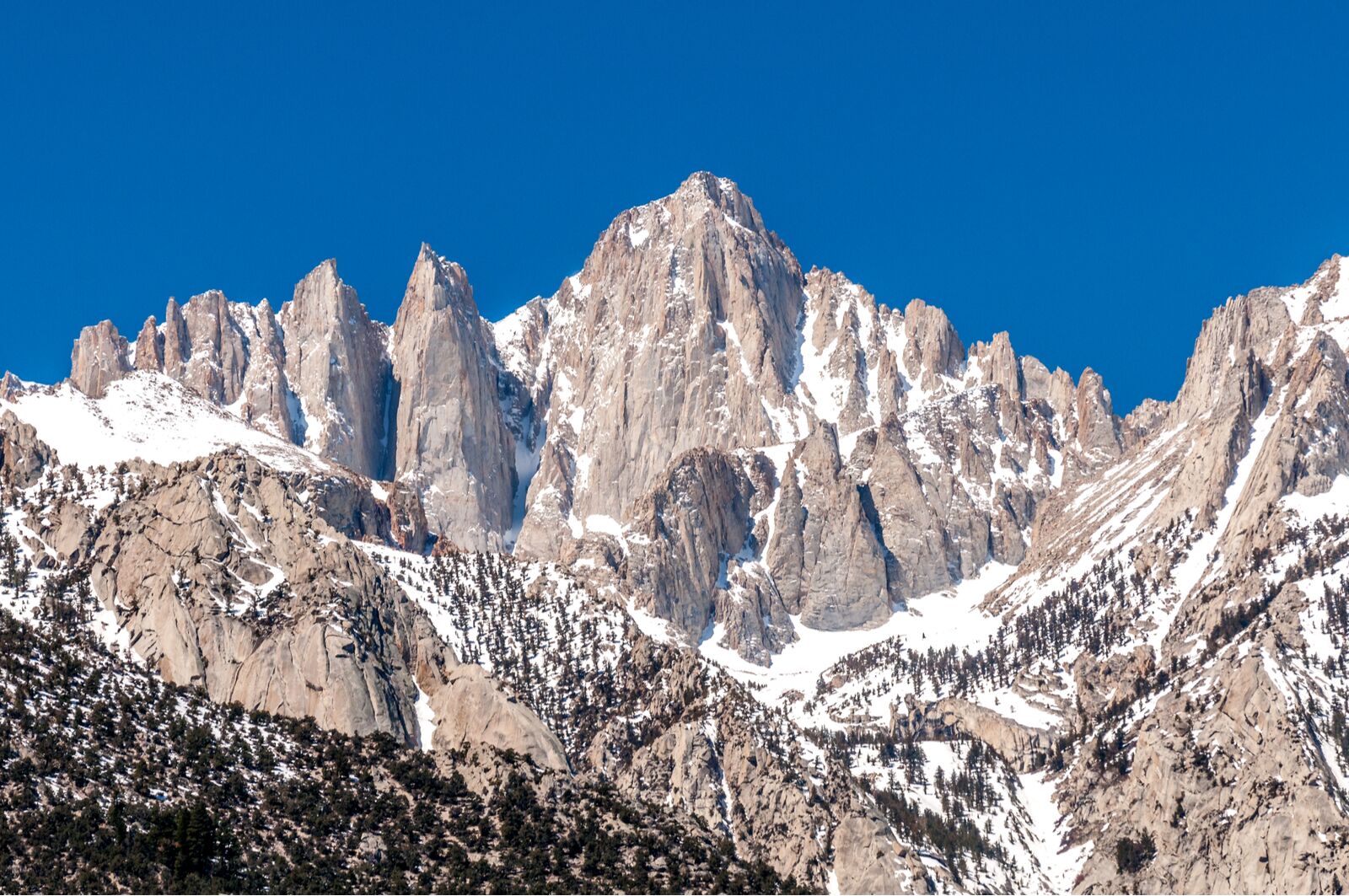
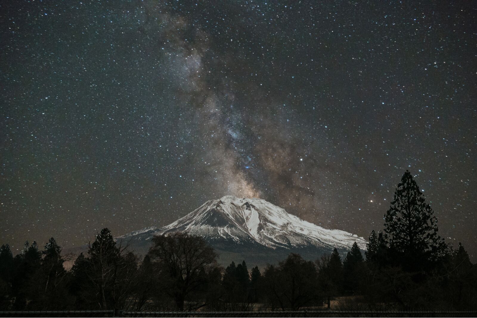
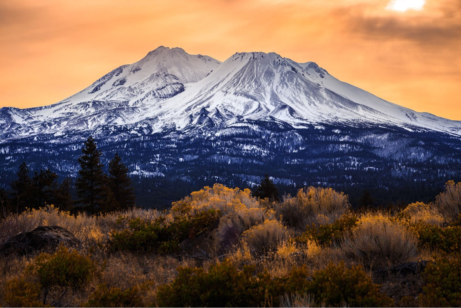
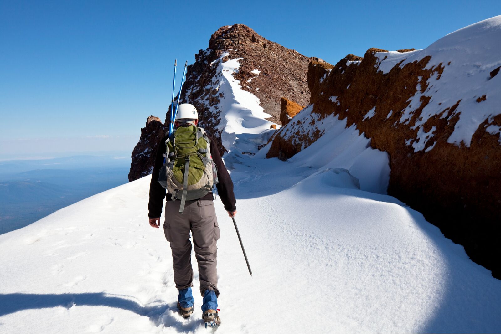
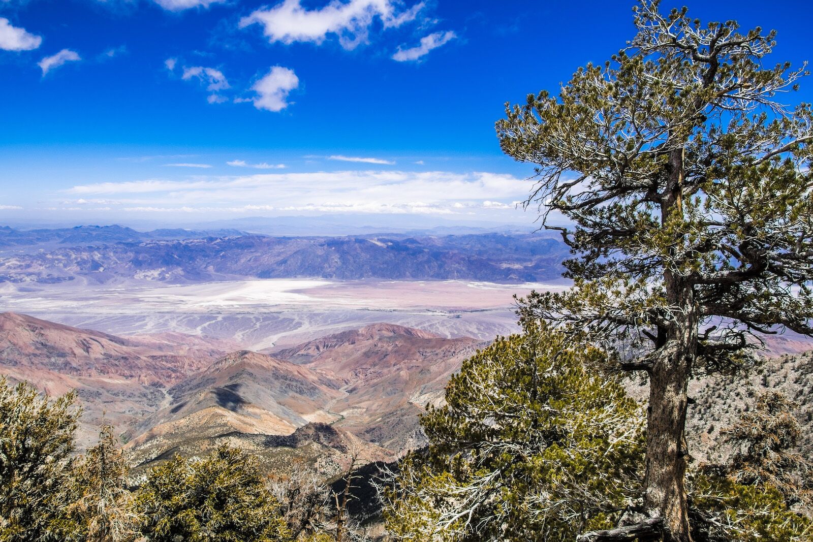
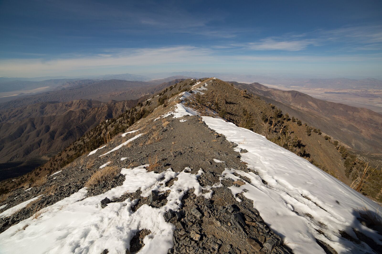
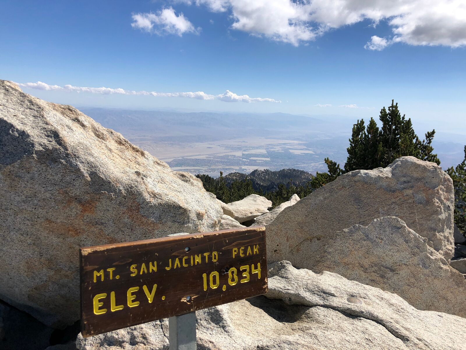
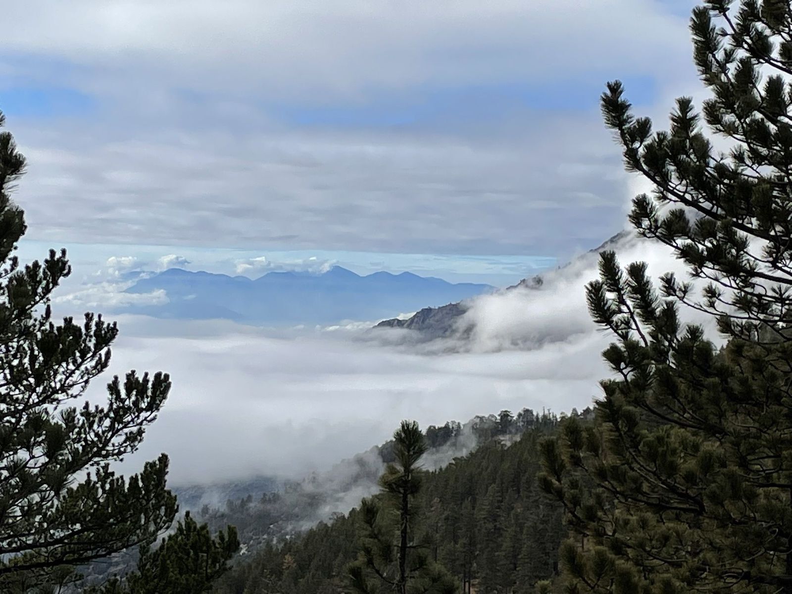
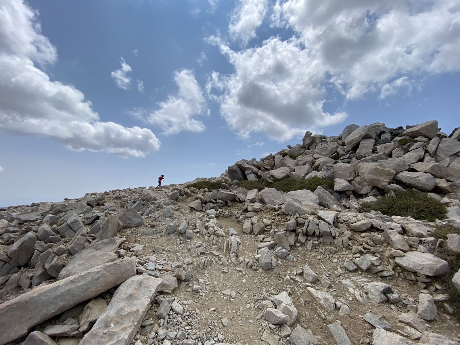
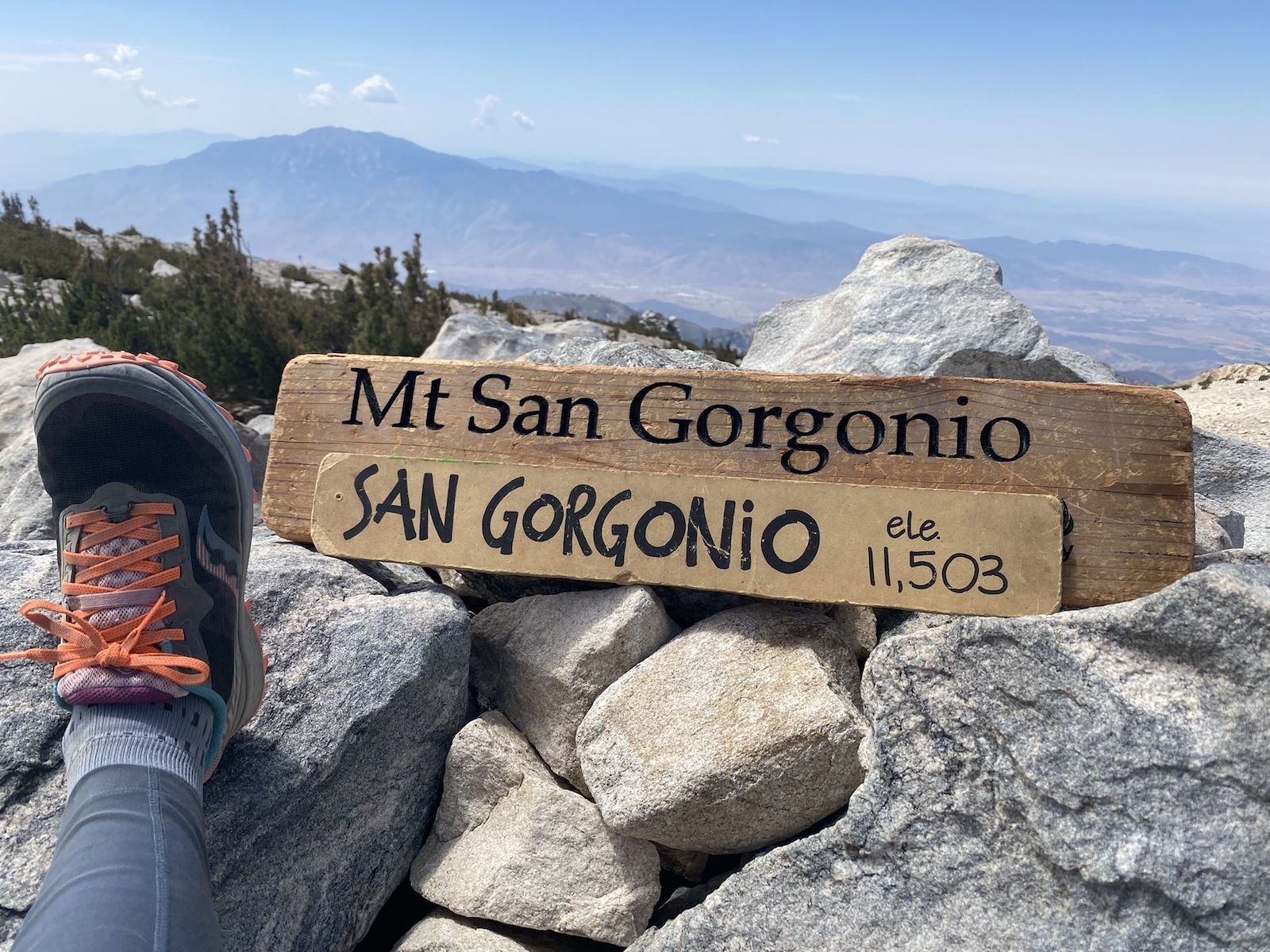
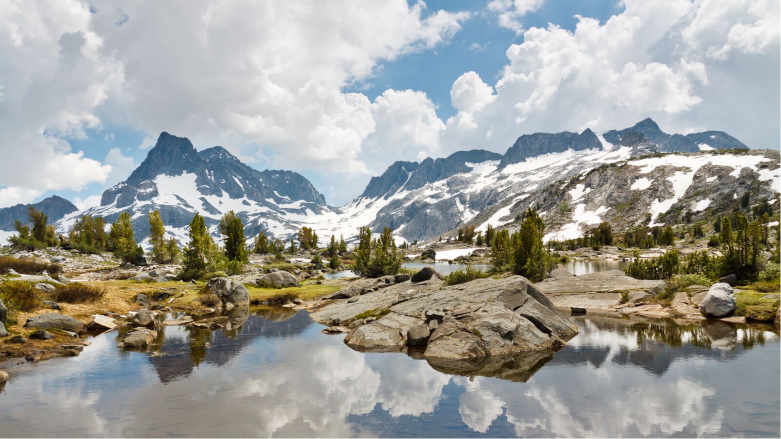
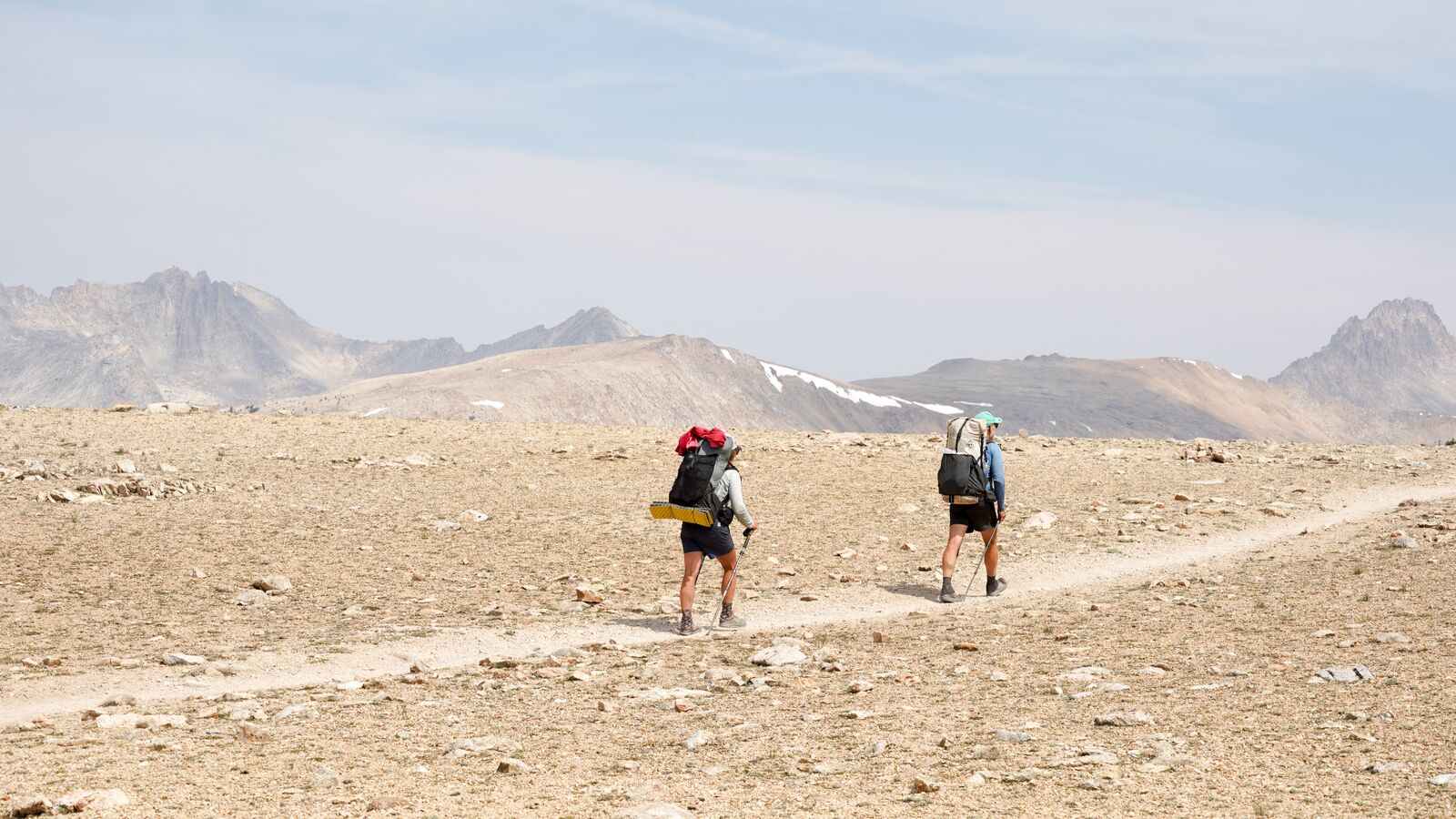
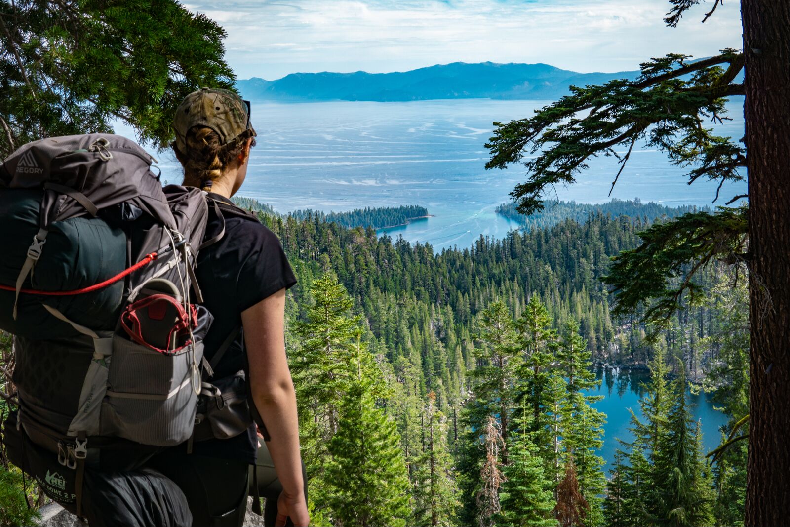
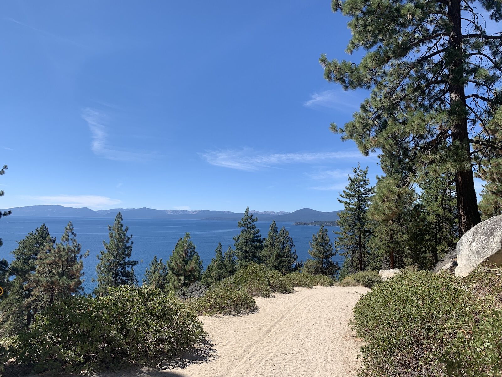
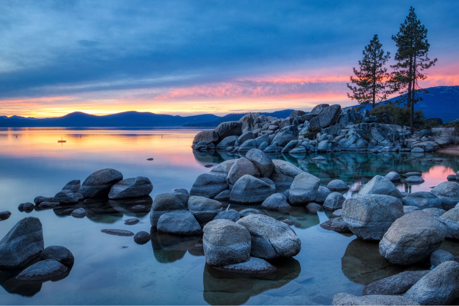
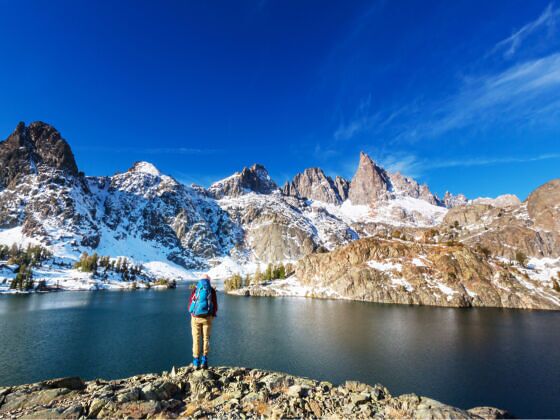
That said, California does have 14ers, in fact — 15 of them. It also has both the highest and lowest points in the lower 48, with Mt. Whitney at 14,505 feet above sea level and Badwater Basin in Death Valley National Park at 282 feet below sea level. Depending on where you are in California, you could be hiking muddy trails to massively lush waterfall basins, trekking through snow above treeline in the Sierra Nevada, or overlooking the city of San Diego at the Insta-worthy Potato Chip Rock. And with nine national parks and 20 national forests, plenty of California’s hiking trails are protected from development.

man hiking in the sierra

Photo: Galyna Andrushko/Shutterstock

But if you’re a dedicated hiker, you probably know that “Type Two” fun still counts as fun, and may be looking for some leg-burners to add to your to-do list this summer. Sure, the hardest hikes in California are long, but they’re also steep and varied, with everything from narrow single-track along steep cliffs to windy, rocky peaks where a wrong step could send you tumbling down a thousand feet. If you want to add one or two of the hardest hikes in California to your resume, explore the list below.

The 10 trails highlighted cover northern and southern California and include both single-day and distance hikes. And don’t take the warnings lightly about their difficulty — people train for months (even years) to be ready to tackle some of these routes.

The Hardest Hikes in Northern California

Mt. Whitney

Photo: Mariusz S. Jurgielewicz/Shutterstock
Photo:
Photo: Galyna Andrushko/Shutterstock
Photo: Nadia Yong/Shutterstock
  • Distance: +/- 21 miles
  • Total elevation gain: +/-  6,650 feet
  • Max elevation: 14,505 feet

If you’re at all familiar with hiking in California, you may be surprised to see Mt. Whitney on the list of the hardest hikes in California, rather than on a list of hard distance hikes. But that’s because cranking out all 21 miles of Mt. Whitney in a day adds an extra level of difficulty. Rather than basecamping halfway up the mountain and waking up early for a sunrise summit, single-day hikers will start at an elevation of 8,600 feet — already enough for a severe case of altitude sickness — and make it all the way up and back down in time for sunset (ideally).

Obviously, this wild effort should only be attempted in summer and early fall, both to maximize daylight and reduce the likelihood of needing snow spikes or traction devices near the top. Expect wild weather near the summit; rain and strong winds are common at the crest, even when it’s dry and sunny at the bottom. Day-use permits are required (and competitive). More information.

Half Dome

Photo: Slberto Loyo/Shutterstock
Photo: Sundry Photography/Shutterstock
Photo Suzie Dundas
Photo: Mark Yarchoan/Shutterstock
  • Distance: +/- 16 miles
  • Total elevation gain: +/-  5,200 feet
  • Max elevation: 8,840 feet

On paper, Half Dome isn’t the hardest hike on this list by distance or elevation, though it does clock in at a reasonably long 16 miles if you start from the Yosemite Valley floor. But it’s the route’s infamous cables — and their associated fear factor — that make this California hike such a doozy. The cables are the only thing keeping hikers grounded along the steep, 1/4-mile climb along a slick rockface to the top. And yes, when someone is coming down the cables, you need to let go to let them pass. And there will be hikers behind you, so there’s no time to stop if you get nervous. In other words, if you’re afraid of heights, stay back at camp.

However, for most people who have done Half Dome, the actual cables aren’t the hardest part. That honor goes to the sub-dome, a smaller dome just before the cables. It’s just as steep but without any sort of handrails or breaks. It gains 600 feet via several switchbacks in just 1/4th of a mile, and with few trees and giant steps, it’s a massive leg burner. And just when you finally finish, well, that’s when it’s time to trek up the actual cables. Bring more water than you think you’ll need.

As with most of the hardest hikes in California, you need a permit. You can hike to the base of the cables without a permit and if you’re lucky, you may find someone who chickens out and lets you use their space to get to the very top. But park rangers are usually nearby to check permits, so you don’t want to risk getting caught without one. More information.

Mount Shasta via Avalanche Gulch

Photo: Robert Cornell/Shutterstock
Photo: Stephen Moehle/Shutterstock
Photo: Galyna Andrushko/Shutterstock
Photo: Radoslaw Lecyk/Shutterstock
  • Distance: +/- 10.5 miles
  • Total elevation gain: +/-  7,120 feet
  • Max elevation: 14,180 feet

Though Mt. Whitney may get most of the attention in California for its superlative height, it’s Mount Shasta, to the north, that’s arguably more difficult. In fact, it hardly counts as a hike and could more be considered a mountaineering endeavor, especially as there’s no set trail.

Sure, most people take more or less the same route, but if you’re hoping for a clear path, think again. Add in the year-round need to traverse across snow with ice axes and crampons and the risk of avalanches and unexpected crevasses in ice — not to mention wild weather — and it’s clear why it’s often considered the hardest hike in California. Unless you have a death wish, you should go with a guide your first time if you’ve never mountaineered.

You’ll need a permit to attempt Mount Shasta, but surprisingly, there’s no quota system — they’re self-issued at the trailheads. If you plan on hiking above 10,000 feet, you’ll also need a summit pass, which you can get at the Mt. Shasta Ranger Station or at a self-issue station if you have exact cash ($25 per person). Many climbers do this as a multi-day hike with professional guides. It’ll still be one of the hardest hikes in California you’ve ever done, but at least you’ll have a dedicated safety and camping team to help you to the top. More information.

Grizzly Falls via China Gulch

Photo: DimiB Photos/Shutterstock
Photo: Volodymyr Osypov/Shutterstock
  • Distance: +/- 20 miles
  • Total elevation gain: +/-  5,090
  • Max elevation: 7,120 feet

Go hard or go home, right? In the case of Grizzly Falls, “go home” is the choice for most people as the hike tops many a list of the hardest hikes in California. That said, the views at the top are some of the best in California. The trail’s highest point is atop Grizzly Falls, where hikers will stand on a narrow band of rocks with 150-foot Grizzly Falls on one side and a beautiful alpine lake on the other. But Mother Nature makes you work for the pleasure of standing there, and hikers will traverse some of the hardest non-technical terrain California has to offer.

Along the trek, expect steep rock stairways, loose shale, tight switchbacks, stream crossings, and a downhill followed by a grueling climb back up. And just before reaching the summit (but after a few steep sections that’ll tax your leg muscles), you’ll reach what’s known as the Grizzly Creek scramble: a rocky final push without a clear trail you’ll have to navigate using your feet and hands. It’s not incredibly hard as far as scrambles go, but add on the fact that you’ll already have climbed nine miles to reach it, and you can see why it’s developed an intimidating reputation.

Ambitious hikers can do this as a one-day trek, though there are backcountry camping sites at a few locations along the route. You’ll need a permit, which you can get on the way at the Weaverville or Shasta Lake ranger stations. More information.

Hardest Hikes in Southern California

Telescope Peak

Photo: yhelfman/Shutterstock
Photo: Sundry Photography/Shutterstock
Photo: Asim Patel /Shutterstock
Photo: National Park Service/Jennette Jurado
  • Distance: +/- 12.8 miles
  • Total elevation gain: +/-  3,320 feet
  • Max elevation: 11,043 feet

It’s probably not a shocker that a place called Death Valley would be home to one of the hardest hikes in California. But what may be shocking is that the summit of Telescope Peak is around 11,000 feet above sea level — which is 11,280 feet above the lowest area of the park (which happens to be well below sea level). Fortunately, the hike for Telescope Peak starts from the park’s Mahogany Flat Campground, which eliminates much of the difference as the campground is about 8,200 feet above sea level.

The hike starts in a forest but quickly opens to massive views of the park, followed by steep and dry climbing through high desert. The final quarter-mile or so is along a fairly narrow ridgeline known for strong wind and gusts, so make sure you take off any baseball caps.

The elevation gain is fairly well distributed, but there’s no water along the trail and it’s exposed to the elements nearly the entire way. In late spring, the trail could be dusty and dry at the bottom but icy and dotted with snow patches closer to the summit. Be sure to keep an eye on the weather forecast and don’t even think about attempting it if there’s potential for a storm anywhere nearby.

If you do make it to the top, look north to see one of the other hardest hikes in California in the distance: Mount Whitney. More information.

Cactus to Clouds via the Skyline Trail

Photo: Andy Konieczny/Shutterstock
Photo: AJ9/Shutterstock
Photo: KhanIM/Shutterstock
Photo: AJ9/Shutterstock
  • Distance: +/- 19 miles
  • Total elevation gain: +/-  10,330 feet
  • Max elevation: 10,834 feet

Cactus to Clouds is a really, really difficult hike. That elevation gain isn’t a typo: it seriously gains more than 10,000 feet of elevation in a single day. Most hikers start very early in the morning with headlamps to even have a chance of finishing it before dark — and to ensure they aren’t climbing in the daytime desert heat, when temps can be well over 110 degrees Fahrenheit. Cactus to Clouds often tops lists of the hardest hikes in California — and if you don’t see it on similar lists, it’s probably because most people consider it undoable in a day. But it’s not, if you’re extremely fit and experienced.

The hike begins in Palm Springs at an elevation of around 500 feet above sea level before finally reaching San Jacinto Peak at an elevation of 10,834 feet above sea level. As if the insane elevation gain and distance weren’t enough, there are several other factors that help this hike earn its reputation.

First, planning for the weather is tricky. You don’t want to do it in the middle of summer as the temperatures in Palm Springs and for the first few miles on the trail will be unbearably hot and lead to heatstroke — but you also don’t want to go too early or late in the year as you’ll hit snow much higher up toward San Jacinto Peak. Most hikers do it mid-fall.

You’ll also have to deal with arranging transportation as it’s a point-to-point hike, and make sure you get the appropriate permits at the appropriate locations (you’ll need a backcountry permit when you get into the San Jacinto Wilderness). There’s no water until mile 10, you’ll need to keep an eye out for both nighttime and daytime critters that can hurt you (like snakes and spiders), you’ll have to carry much more than usual in case you do get lost or delayed, and the trail’s numerous crossings and turns can be confusing if you don’t know how to read your map.

It’s pretty well-known that this is one of the hardest hikes in California — so much so, in fact, that police mounted two “rescue boxes” along the trail with supplies for hikers in trouble. Don’t take anything out of the box unless you really, really need it. More information.

San Gorgonio Peak

Photo: AllTrails
Photo: AllTrails
Photo: AllTrails
Photo: AllTrails
  • Distance: +/- 19 miles
  • Total elevation gain: +/-  5,500 feet
  • Max elevation: 11,500 feet

San Gorgonio Peak is the tallest peak south of the Sierra Nevada and with some steep climbs and extended exposed sections, it’s just as intimidating as its northern California counterparts. Less than half a mile out of the gate, you’ll face a series of steep switchbacks, and if that has your legs burning, just you wait. The trail has very few flat sections and is mostly uphill the entire time. The middle section is forested and lush (at least in spring and summer), but it’s exposed and rocky at the top with very strong winds. Even with sunscreen, you’ll probably have some serious windburn by the time you start the hike back down.

It’s important to start early in the summer, both to beat the heat and to find parking — despite the challenge, this trail is popular. It’s also a popular hike for adventurers training for Mount Whitney since it follows a similar elevation profile. You need a permit to hike it, and while they’re free, they’re also limited. The Vivian Creek trailhead is kind of in the middle of nowhere, so most people will want to camp in the nearby San Bernardino National Forest, where dispersed camping is allowed as long as you follow a few basic regulations. More information.

Hardest Long-Distance Hikes in California

The Pacific Crest Trail

Photo Patrick Poendl/Shutterstock
Photo: chrisontour84/Shutterstock
Photo: Bob Pool/Shutterstock
Photo: Modern Meta Photography/Shutterstock
  • Distance: +/- 2,600 miles
  • Total elevation gain: +/-  824,370 feet
  • Max elevation: 13,153 feet

The PCT is one of the longest distance hikes in North America and it’s not a “take a long weekend next summer to do it”-type of hike. The PCT requires serious knowledge and training. You’ll likely need to quit your job or at least take an extended leave of absence, since most people take about five months to go from the starting point near the Mexico-California border to the ending point at the Canadian border.

Most people cover about 15 miles a day and it’s far more common to do it south-to-north. This allows you to start the long segments in the desert before the middle-of-summer heat kicks in and means you won’t hit the Sierra Nevada mountains until most of the snow has melted.

But don’t think starting in the desert makes things easier. You’ll have to go more than a week without a chance to resupply and will be at the mercy of the heat, wind, and elements — don’t expect lots of tree cover if a storm rolls in. We can’t even begin to give enough information here to stress how challenging the hike is, even for expert athletes, so just take a look at this video from a Pacific Crest Trail hiker who took one photo every mile of the journey. It’s a physically demanding effort. More information.

The Lost Coast Trail from Shelter Cove

Photo: Geartooth Productions/Shutterstock
Photo: James R T Bossert/Shutterstock
Photo: Geartooth Productions/Shutterstock
Photo: Christer Dabu/Shutterstock
  • Distance: +/- 25 miles
  • Total elevation gain: +/- 1,600 feet
  • Max elevation: 132 feet

When you think of California’s coastline from south to north, what’s the order? San Diego, Los Angeles, Monterey Bay, San Francisco, and then….what? If you’re familiar with California, you may say Mendocino or Eureka. But the fact is that the coastline north of San Francisco is almost as long as the coastline south of San Francisco — but it’s a lot harder to reach.

With no roads and very little development, the area known as California’s Lost Coast is one of the last remaining sections of California’s coastline left in its original state. It’s where you’ll find the Lost Coast Trail, which isn’t particularly taxing by numbers but packs a punch when it comes to weather and coastal conditions. The terrain is so rugged that Highway 1, which hugs California’s coastline everywhere else in the state, moves inland here as it was just too difficult to build in this area. Much of the hike is through rock and sand (i.e. unsure footing), which is extremely taxing on your legs.

On top of that, it rains — a lot. And even if it’s not raining, you can expect to almost always be damp from the breezes blowing saltwater in off the ocean. Oh, and you have to time it right with the tides or you’ll find yourself trapped on rocks for hours until the route becomes visible again under the waves. And don’t expect cell service or any nearby amenities.

Those challenges aside, it’s a beautiful hike and unlike anything else in California. Most hikers do it in three days since they’ll generally move slower across sand. You can do it as an out-and-back hike, and you can start in the north or the south. Just don’t be fooled by the low elevations — the fact that it’s so close to sea level is what makes it so mentally difficult. More information.

The Tahoe Rim Trail

Photo: Jordan BC /Shutterstock
Photo: Suzie Dundas
Photo: Andy Konieczny/Shutterstock
Photo: Suzie Dundas
  • Distance: +/- 170 miles
  • Total elevation gain: +/- 27,900 feet
  • Max elevation:10,338 feet

Technically, some of this trail is in Nevada. But it still counts, especially as it’d be one of the hardest hikes in California even if you cut off the entire Nevada section.

As you may expect, the Tahoe Rim trail circumnavigates Lake Tahoe, which has 72 miles of shoreline and is nearly 22 miles long. Because the trail has to wear around major geological features and mountainous terrain, it’s much longer — 170 miles, to be exact. And if you thought you’d climb into the mountains, circle the lake, and climb down, think again. The route has no less than a dozen climbs that gain well over 1,000 feet of elevation. Most hikers take about two weeks to do it, though speedy hikers can probably do it in closer to 10 or 11 days.

Unfortunately for summer hikers, tackling the Tahoe Rim Trail is not akin to a warm lake vacation. It’s not uncommon to have daytime temperatures around 80 degrees Fahrenheit but nighttime temperatures below freezing. And campfires aren’t allowed — you’re in forest-fire territory, after all.

If you’re lucky, you’ll get to see a few bears and maybe a mountain lion, which does mean you’ll have to carry all your food in a bulky bear bin the whole time. The north shore is generally considered the most challenging, especially after a big snow year. There are a few resupply stations along the trail and like the PCT, many people mail themselves supplies in advance to pick up along the way.

It’s challenging, rocky, cold, and will put you at risk of elevation sickness, but if you’re willing to do it, you can expect near-constant vistas of alpine lakes and forests, valleys filled with wildflowers, and some of the most peaceful backcountry campsites you’ll ever experience. You can also extend the trip by a week or so if you take some of the many side hikes off the main TRT route. More information.


Discover Matador