Thanks in part to Cheryl Strayed’s massively popular book “Wild” (and the subsequent film of the same name starring Reese Witherspoon), the Pacific Crest Trail has gone from a backpacker bucket-list goal to an experiential, existential must for many hikers. The PCT, as the cool kids call it, runs 2,633 miles between the US borders with Mexico and Canada, crossing the lengths of California, Oregon, and Washington. It’s one of the longest hiking trails in the world and usually takes about three to five months to finish.
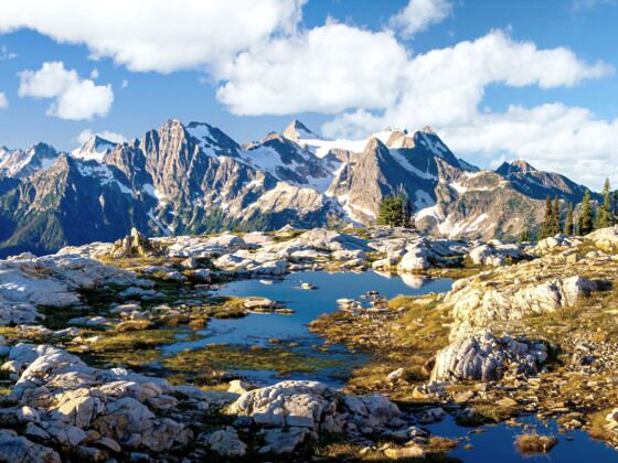
Photo: Tobin Akehurst/Shutterstock
Hike These 8 Sections of the Pacific Crest Trail, Starting at Just 9 Miles
Every year, thousands of permits are issued for hikers attempting the difficult journey through the beautiful terrain. To leave time for snow to melt at higher elevations, most thru-hikers start in the south in the desert and move north, trying to hit the mountains of California, Oregon, and Washington toward the end of summer. The route is extremely taxing, and both physically and mentally exhausting. The Pacific Crest Trail Association estimates that only about a quarter of people who start the PCT finish the entire thing.
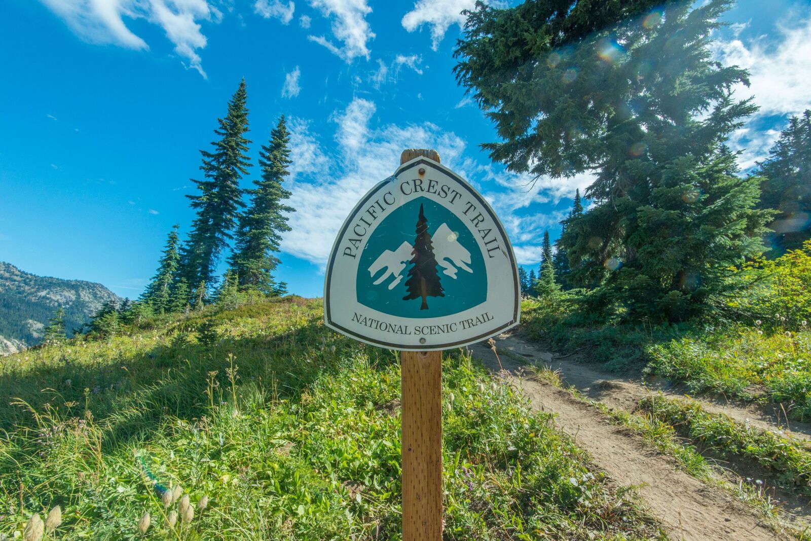
Photo: Modern Meta Photography/Shutterstock
Fortunately, if you’re not ready to spend five months on foot but still want the challenge, there are many sections of the PCT you can hike in a much shorter amount time. Some you can do as day hikes, as well as longer parts that work for shorter (i.e., a week or weekend) backpacking trips.
When you’re researching your trip, you’ll find the word “section” used in two different ways. The official PCTA route is divided into official sections; for example, Section A of the PCT runs for 109 miles from the MX-US border to Warner Springs, north of San Diego. These sections are divided based on difficulty, so they’re not all the same mileage.
However, when most causal hikers say “sections of the PCT,” they’re using the word “section” in a more casual sense, just referring to a “some distance on the trail,” rather than an officially designated area.
-
- Shorter PCT hikes in California
- Shorter PCT hikes in Oregon
- Shorter PCT hikes in Washington
Sections of the PCT in California
The PCT runs straight through the middle of California, so no matter where you are in the state, you probably aren’t too far from a section of it. The exception is around the desert: some of the desert sections of the PCT are pretty far out there in terms of distance from cities. Some of the longest stretches hikers on the PCT have to go without resupplying are in the California desert, where the first five “official sections” (sections A-E) are each more than 100 miles long.
San Jacinto Peak, Southern California
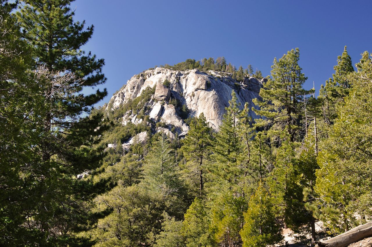
Photo: Steve Minkler/Shutterstock
- Distance: 17.2 miles
- Elevation gain: 5,285 feet
- Type: Out-and-back
The desert portion of the PCT is not highly rated for its beauty. In fact, some thru-hikers say it’s kind of boring. Other nearby spots, like Joshua Tree, have more captivating desert landscapes. But if you want to hike a portion of the PCT and SoCal is your only option, the section of the PCT around Mount San Jacinto from Idyllwild (which has campgrounds) is the most popular route.
If you want to do it as a day hike, which is no small feat, you can pickup a free day-use permit at the park office in Idyllwild or the Long Valley Ranger Station near Palm Springs. For an overnight permit, you’ll need to apply for one in advance by mailing in the form available online. Do it as far in advance as possible. With unforgettable views from the top — desert on one side and forest on the other — it’s perfect for a long weekend.
Note that Mount San Jacinto reaches 10,834 feet, so even in Southern California, it can get chilly up there. You may think sections of the PCT in California would be constantly warm, but you’ll still want to bring a warm layer (like a light puffy), plus a rain jacket, a beanie, and maybe even a light pair of gloves (which can also help if you’re using hiking poles).
The John Muir Trail, Central CA
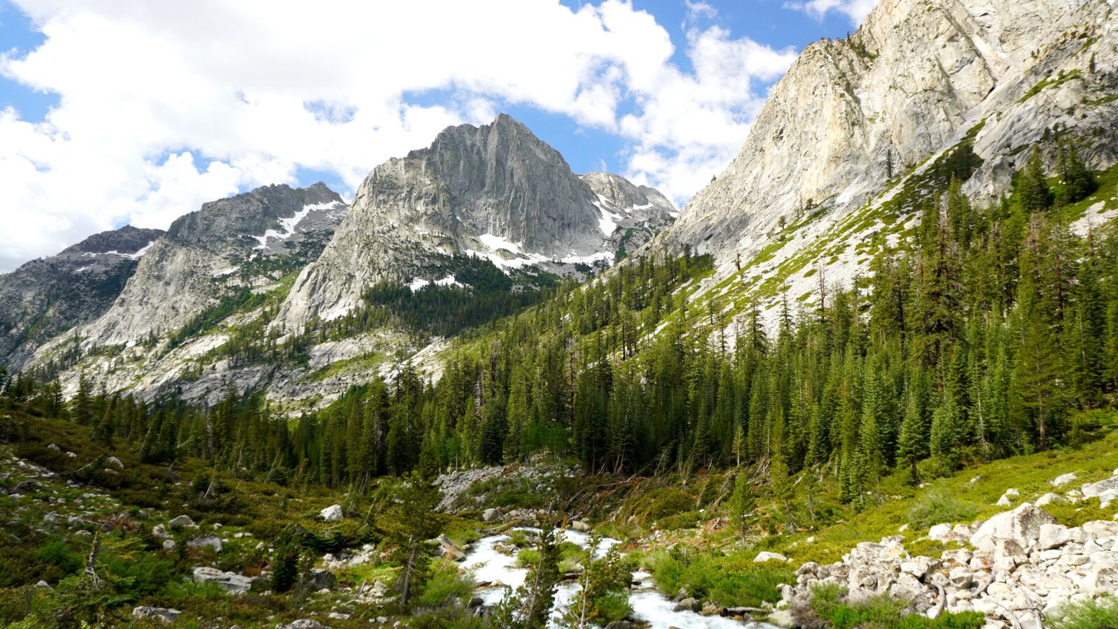
Photo: Luis A Sepulveda Hidalgo/Shutterstock
- Distance: 221 miles
- Elevation gain: 46,700 feet
- Type: Point to point
The John Muir Trail is perhaps the most famous section of the PCT, stretching for 221 scenic miles through Yosemite, Kings Canyon, and Sequoia national parks to Mount Whitney. Most hikers budget three weeks for the undertaking. If you’re feeling up for it, you’ll need to do some advanced planning.
If you start from the north (in Yosemite National Park), you’ll need a wilderness permit issues by Yosemite National Park. Like all Yosemite permits, these are competitive, and you should apply online six months in advance, as 60 percent of the permits are distributed via an online lottery. If any of those permits aren’t claimed, they become available on a first-come, first-served basis. The remaining 40 percent of permits are issues via an online lottery one week in advance. All reservations are managed via Recreation.gov. Self-registration permits are all you need (available at trailheads) if you visit between mid-Oct and mid-April.
If you start the JMT section of the PCT from the south, you’ll need to get a permit from Inyo National Forest. They’re a bit easier to get, but still fairly competitive, since Inyo’s Mount Whitney is one of the most popular hikes in the country. The permit issuance process is similar to Yosemite’s, except permits are needed year-round. It’s also managed via Recreation.gov six months in advance.
You cannot cache any food on the JMT, but there are several resupply stations along the route where you can mail packages or stop and shop for whatever you need. The JMT isn’t an exceedingly difficult hike, but you’ll want to have some multi-day backpacking experience and knowledge of how to read terrain and weather conditions before thinking about planning a trip.
Tuolumne Meadows to Devils Postpile, near Mammoth
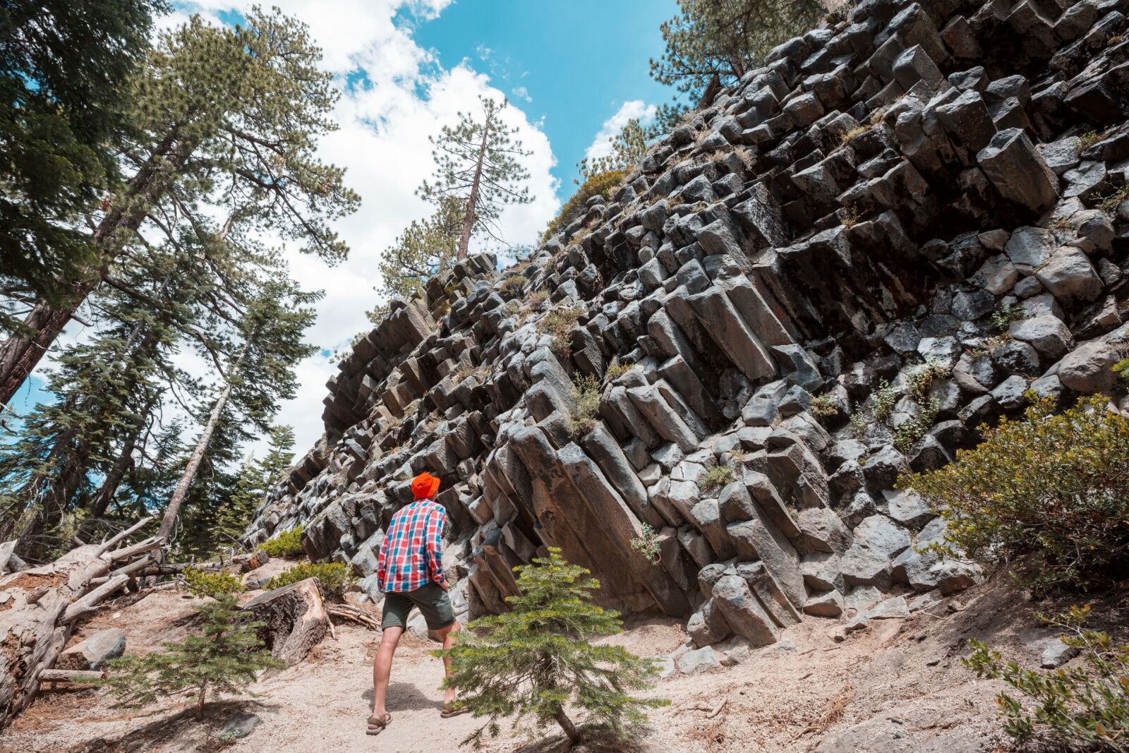
Photo: Galyna Andrushko/Shutterstock
- Distance: 56.7 miles
- Elevation gain: 8,870 feet
- Type: Point to point
Even if the JMT is easier than the PCT, it’s still quite the commitment. Fortunately, you can access many sections of the JMT — which are also sections of the PCT — for shorter hikes. One such hike is the Tuolumne Meadows to Devils Postpile section, starting in Yosemite and ending at Mammoth Lakes. The permit process is the same as detailed above, both for starting from the north (Yosemite) and the south (Inyo National Forest). The elevation gain is actually fairly minimal given the distance, and most people do it in four or five days.
There are also lots of multiple route options and offshoot hikes you can add if you want to spend more time in the wilderness. Fortunately, the main hike goes past many gorgeous alpine lakes, so you don’t have to go very far off the beaten path to see some of the prettiest parts of the PCT. One part that can get tricky, however, is the parking lot: you can’t park by Devil’s Postpile during the summer. You’ll need to take the YARTS bus to connect Mammoth and Yosemite, then a second bus from Mammoth to or from the Devil’s Postpile parking area.
Sections of the PCT in Oregon
Oregon’s section of the PCT may not have a reputation for being as pretty as California or Washington. But that may just be a collective trick to keep those sections of the trail less crowded, because the Oregon sections are just as gorgeous as anywhere else along the PCT. Also: waterfalls. Lots and lots of waterfalls.
Cherry Creek Trail, Central Oregon
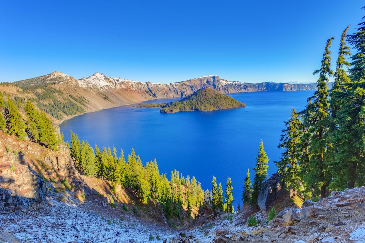
Photo: Zhukova Valentyna/Shutterstock
- Distance: 11.6 miles
- Elevation gain: 1,490 feet
- Type: Out-and-back
A section of the PCT cuts through Oregon’s Sky Lakes Wilderness, an area dotted with glacial lakes and stunning views of the Cascades, from Mount Hood to Mount McLoughlin. It’s just south of Crater Lake National Park and is a popular hiking spot for families, locals, and those just passing through. You can reach it off Highway 140; it’s less than two hours from the southern Oregon cities of Medford or Ashland.
A good day hike (or overnight, if you want to spend time swimming and camping), is the Cherry Creek Trail to Trapper Lake. There are also lots of ways to make this into a much longer hike, with spurs off the main PCT trail to add more distance and more gorgeous views. Look at a mapping app like AllTrails and you’ll be able to piece together lots of routes in the area.
Another good hike in this section of the PCT is in Crater Lake National Park. The Pacific Crest Trail and Alternate Loop traverses terrain to the west of Crater Lake; going counter-clockwise will get most of the elevation gain out of the way in the first few miles.
Timberline Lodge to Paradise Park
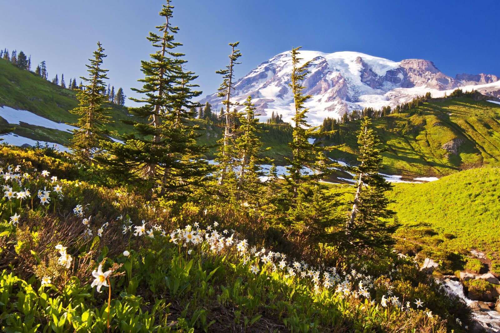
Photo: Tusharkoley/Shutterstock
- Distance: 9.8 miles
- Elevation gain: 2,410 feet
- Type: Out-and-back
For a short day hike on one of the coolest Oregon sections of the PCT, head to Timberline Lodge (which you may recognize from “The Shining.”) That’s the starting point for your long-ish day hike to Paradise Park, a gorgeous, wildflower-filled meadow on Mount Hood.
From Timberline Lodge, the hike heads mostly downhill for the first 3.5 miles — and you don’t need to be a genius to know that means the last 3.5 miles will also be uphill. So pace yourself and be sure to carry plenty of water, though you can fill up with a water filter at a few places along the trail. Also note that Mount Hood gets quite a bit of snow, so this isn’t the type of trail you can do in early May. But the flip side of all that moisture means the wildflowers are usually thriving well into July and August.
And another perk of this hike? You can pop into Timberline Lodge’s tiny Blue Ox bar for a local brew to toast to a successful day.
Sections of the PCT in Washington
Sections of the PCT in Washington are everything you’d expect from the Evergreen State. They’re lush, densely forested, and full of sweeping valleys surrounded by impressive peaks. The Cascade Chain extends into Washington, so you could encounter snow year-round.
Mount Adams to Mount Rainier, South-Central Washington
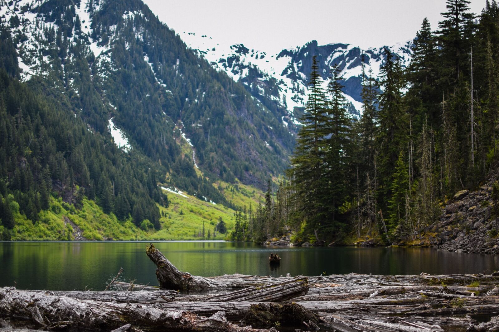
Photo: Kelsey Neukum/Shutterstock
- Distance: 147.5 miles
- Elevation gain: 28,000 feet
- Type: Point to point
Section H of the Pacific Crest Trail covers 147.5 miles from the Bridge of the Gods in the Columbia River Gorge (near the Oregon/Washington border) to White Pass near Mount Rainier in central Washington. This portion of the trail skirts the base of Mount Adams and ambles across Goat Rocks Wilderness, ending just south of the crown jewel of the Cascades: 14,411-foot Mount Rainier. This section takes fast hikers about 10 days, but you should probably budget closer to 2 weeks to enjoy the whole thing. Anyone staying overnight needs a wilderness permit, which are free and self-issued at the trailhead.
However, if 10 days to two weeks seems like too much of a commitment, you can do any segment of this hike in a day, since there are lots of forest roads and shorter loops that cross the main trail.
Snowgrass Flats and the Goat Lakes Loop is a good section of the PCT to do as a day hike, provided you have literally all day: at 12 miles and with more than 2,000 feet of elevation gain, it’s a big hike. But it provides access to Goat Rocks, which many call the most scenic spot of the PCT. The Snowgrass Flats trailhead is a three-hour drive from either Seattle or Portland.
Cutthroat Pass: North Cascades
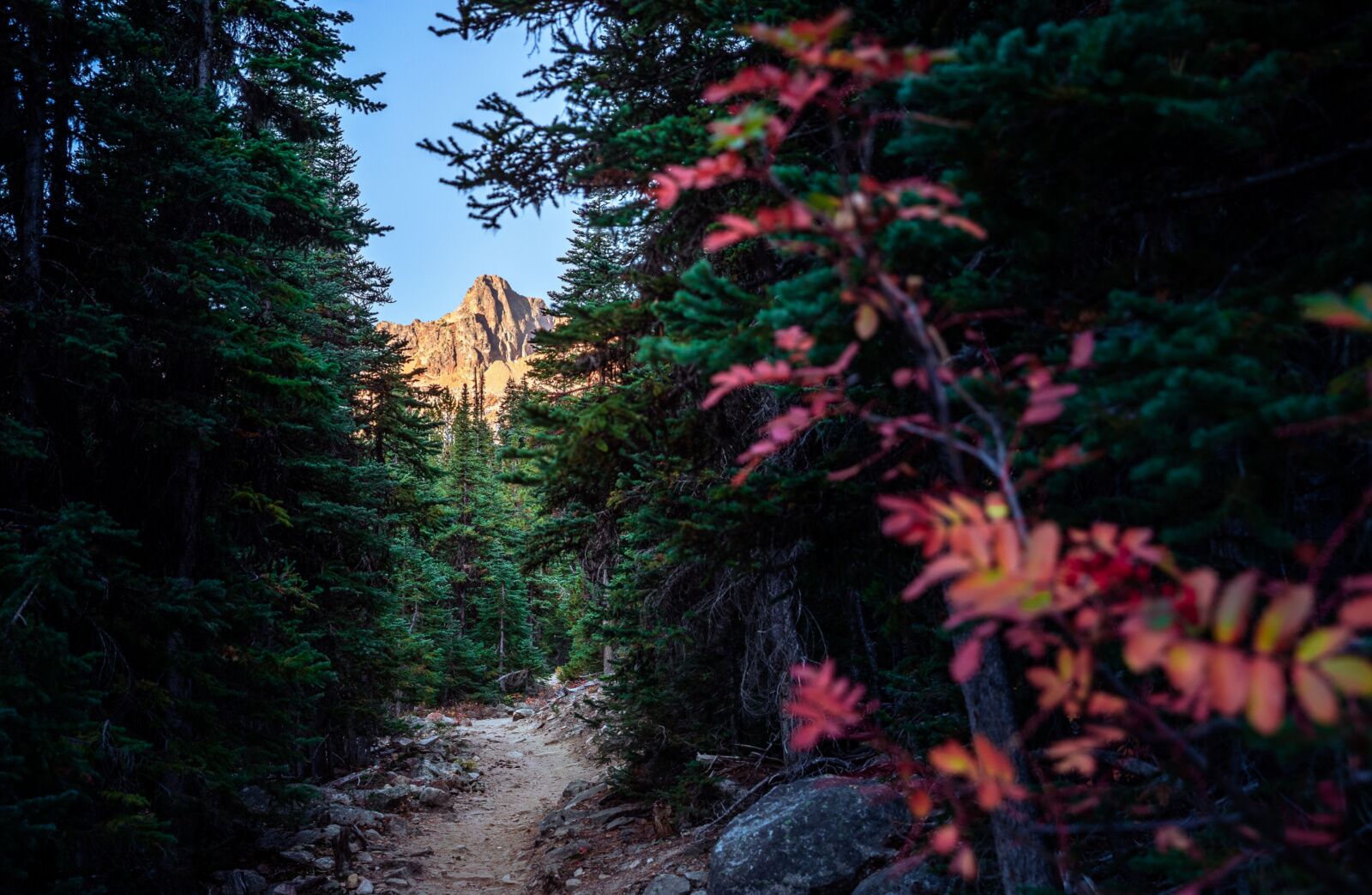
Photo: Foto-Jagla.de/Shutterstock
- Distance: 11.4 miles
- Elevation gain: 2,470 feet
- Type: Point to point
Cutthroat Pass is one of the prettiest day hikes in the North Cascades area and mirrors the Pacific Crest Trail the entire way. But instead of being outside for months on end, you’ll turn just a bit after mile five, creating a very doable 11-mile hike.
The hike passes several gorgeous places to stop and take a breather, but the highlight is Cutthroat Pass, which doesn’t have a bad view in any direction. This is another hike known for fabulous wildflowers, as well as huge huckleberry bushes, so keep an eye out for bears and make noise when you’re coming around tight turns. The trail is pretty long, which adds challenge, but aside from the final section of switchbacks, the elevation gain is pretty evenly spread out.
There are several ways to reach Cutthroat Pass, but if you take this route, you’ll need to drive about a mile on a dirt road to reach the trailhead. A pass is $5 (payable at the trailhead). Note that the road to the trailhead is closed all winter, so check the status before making any plans, since it sometimes doesn’t open until early June on heavy snow years.
Hart’s Pass to Rainy Pass
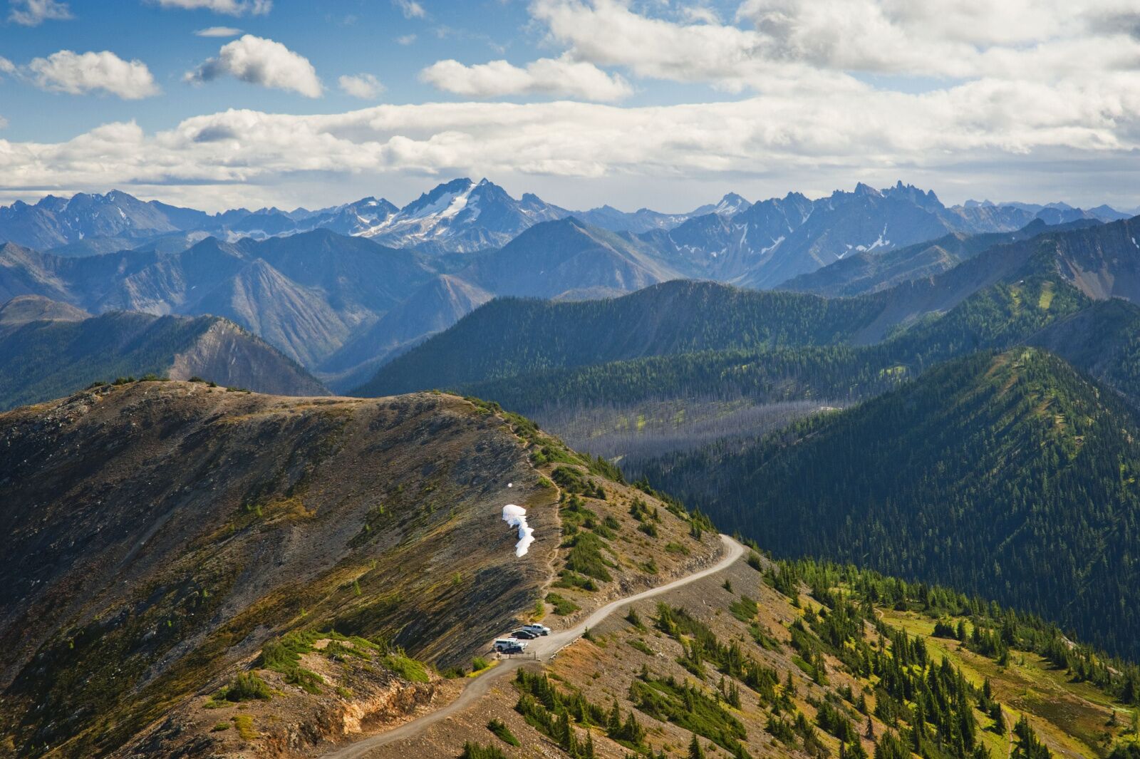
Photo: Edmund Lowe Photography/Shutterstock
- Distance: 30.6 miles
- Elevation gain: 3,800 feet
- Type: Point to point
For hikers doing the entire PCT, Harts Pass to Rainy Pass marks the approaching end of the journey. It’s considered one of the most visually spectacular portions of the PCT, thanks to the craggy peaks and deep valleys of the North Cascades. Here, the forested green hills of the central Cascades give way to a more extreme landscape. While there are plenty of popular and heavily traveled loop hikes starting around Snoqualmie Pass, the Rainy to Hart’s section is along the PCT the entire time. It’s a point-to-point, so you’ll need to arrange someone to pick you up or drop you off. Fortunately, it’s not very far from Seattle. ![]()