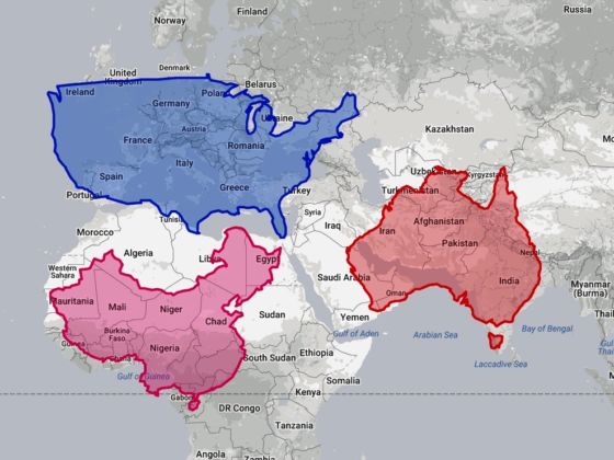
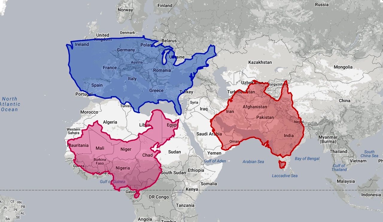
A lot of people have problems with the Mercator map of the world. Fortunately, The True Size is set up to help cartography fans see how much it distorts land mass by allowing users to move outlines of nations across the 2-D images. It is oddly addictive.
A brief history of the Mercator Projection
It is surprisingly difficult for geographers and cartographers to accurately portray a 3-dimensional sphere on a 2-dimensional surface. This challenge goes back millennia and has been addressed by different people from different cultures in many different ways (Fra Mauro’s map is a personal favorite), but the map Americans are most familiar with is known as the Mercator Projection.

