In outdoor travel, the word “isolation” is put on a pedestal. “Get away from the crowds,” advertisements say, “and find yourself truly isolated from the chaos of the world.” But then the coronavirus happened, forcing even the hardiest of vagabonds to forget upcoming trips and seclude themselves inside, turning the term into a begrudgingly necessary requirement rather than a goal.
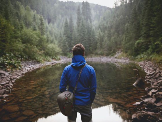
Photo: Volodymyr_Dyrbavka/Shutterstock
How to Find Remote Green Spaces Near You to Get Out of the House
We’re advised not to board planes, congregate with groups of friends, or even enter public spaces unless it’s absolutely necessary. It would be irresponsible to venture far from home and potentially endanger ourselves or the communities we visit en route to far-flung parks until the COVID-19 situation is brought under control. For now, at least, isolation seems a lot more isolating.
But the one place we can — and should — go is outside, near home. On the trail and in the stream are two ways to take back the dignity that social distancing has always provided. These tips will help you safely find and access nearby green spaces near you, no matter where the current state of the world currently has you posted. Load up your day pack. Let’s put isolation back where it belongs.
What to avoid for now
Photo: Rocksweeper/Shutterstock
Your trip into the near outdoors should be conducted in the following manner: “car-trailhead-car-home.” As tough a pill as it may be to swallow, this is the only safe and non-selfish way to access the outdoors while communities, and in some cases entire states, are under lockdown and the country is trying to minimize viral spread.
Sure, being out of school or sent home from work is likely to conjure the idea of a road trip to visit a national park or to knock a backpacking trip off your summer list before the season typically starts. But it’s important to think about the big picture. You might be putting yourself or others at risk by venturing outward, especially in small towns. Either way, it’s simply not worth it right now.
Bring your own food and drink, or fuel up before leaving home. Responsible social distancing means not going out to eat after a hike or bike ride. Avoid public transportation and carpooling with anyone who doesn’t live in your home. And, in general, anyone who doesn’t need to be on the excursion with you shouldn’t be on it.
Tips for finding local areas to adventure
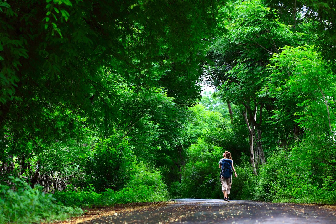
Photo: Dudarev Mikhail/Shutterstock
Outdoor gear shops and outfitters are closed in many parts of the country, eliminating one of the most reliable ways to gather information about wilderness expanses near you. The good news is that for every in-person resource for outdoor trip planning, there’s an almost-equal option on the web.
Should you live in a mountain town or near the coast, odds are high you’re within minutes of an epic adventure. In major cities, a commute is likely necessary but you can still follow the “car-trailhead-car-home” routine in order to minimize risk. Fortunately, even from most metro areas, green spaces free of crowds are totally possible to find (see the apps below for local recommendations). During normal, non-pandemic times, outdoor recreation areas near big cities tend to fill up on sunny weekends and immediately after work hours. This may not be the case right now, and you may not need to drive more than an hour to reach a near-empty trailhead, but it still doesn’t hurt to get up early or visit during off-peak hours. Should a trail appear crowded, the responsible thing to do is to keep on driving or turn back.
A Google search is likely to turn up wilderness areas local to you for specific activities like hiking, bird watching, or fishing. Google Maps is great for getting an idea of green spaces in your vicinity and for driving directions to them, but be wary of the descriptions and reviews posted there about parks, trails, or other wilderness areas as the people posting may have very different priorities or experience levels than yourself. Look instead to online outdoors forums focused on your town or region for tips on where to go. And, there’s always the good old Gazetteer map, should you have one holed up somewhere in the garage.
Apps to help you find the perfect close-to-home place to explore
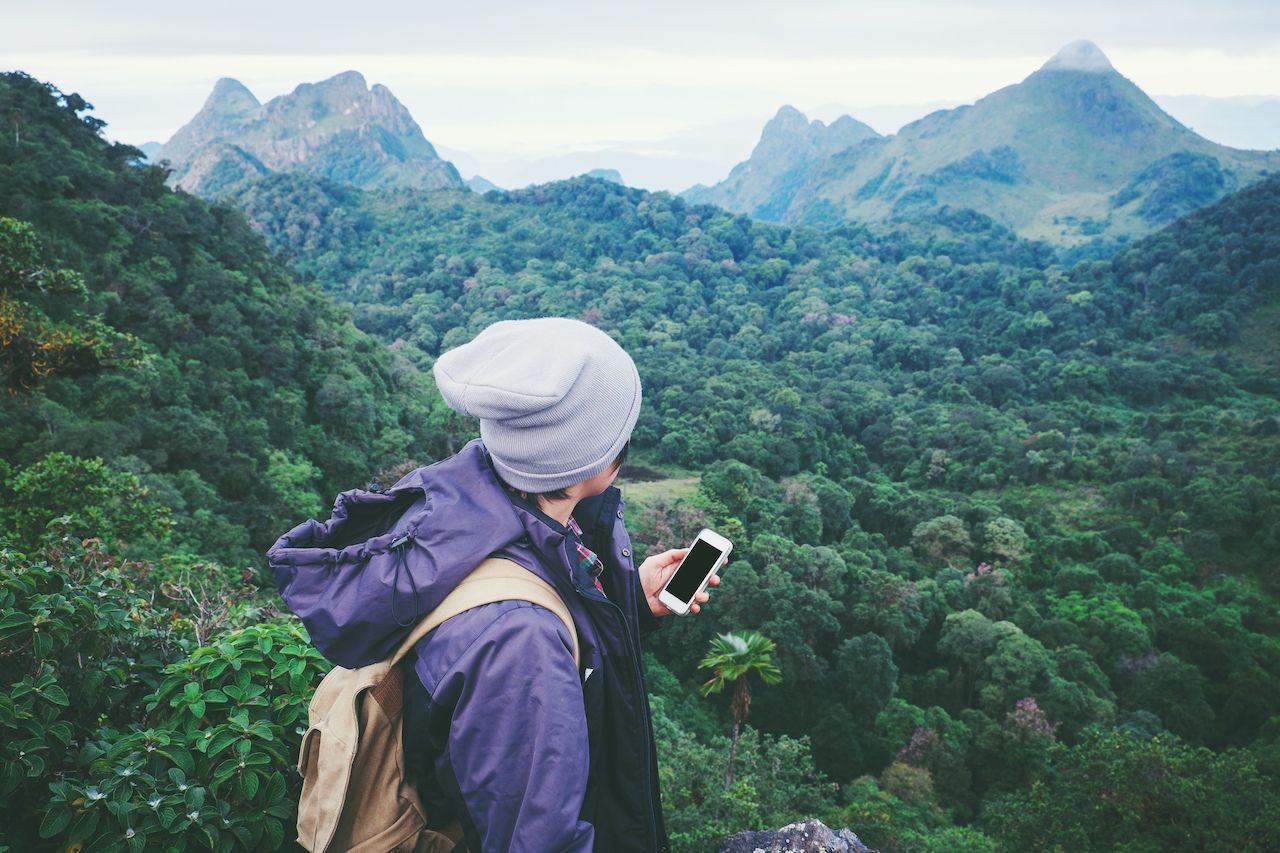
Photo: Joyseulay/Shutterstock
AllTrails
Best for: casual day hikers and bikers
For general day hikes, AllTrails is a strong option because it allows you to search by region, city, country, or find trails on a wider map. It provides a brief summary of each trail with info on its format (loop or out-and-back), elevation gain, length, and modes of travel allowed. The app also shows current weather, making it great for simple day hikes in spring and fall. Users can leave reviews and add to a “favorites” list. Because of AllTrails’ popularity, it’s also the most accurate as far as anticipating how crowded a trail is likely to be. Does it have tons of reviews? You might want to look elsewhere if solitude is a priority.
MTB Project, Hiking Project, Powder Project
Best for: sport-specific trails and current conditions
Developed by REI, the “Project” apps are the best way to find sport-specific trails and read recent user reviews of conditions, closures, or anything else that might impact your excursion. MTB Project is for mountain bikers, Powder Project is for backcountry skiing and snowboarding, and Hiking Project is for, obviously, the two-foot traversers. What makes these apps unique is that users can interact with the trail listings, posting photos and offering wayfinding tips based on their most recent outing. Closures and trail alterations are typically noted on these apps more quickly than most others due to their more “social” nature.
Gaia GPS
Best for: detailed topographic maps, advanced features for mountaineering and wayfinding, thorough displays of trail systems and beginning/endpoints
Gaia GPS is the most thorough and detailed trail and way-finding app available that is actually easy to learn and use. It’s similar to Google Earth in that it displays maps in topographic format, meaning you can easily see elevation changes and judge a trail by its steepness. It allows you to leave “pins” on specific trails, or locations on a trail should you be worried about getting back, and your GPS location is displayed directly on the map at all times. You can access a compass and have your route marked as you walk or ride it so you’ll know exactly where you’ve been, and store notes and trail markers and share them with others in the premium setting. If you’re in a big city, Gaia GPS notes trails just about anywhere that there is one, from the local park to a downtown riverwalk. ![]()