Photo: Visit California

Road Tripping Route 66: Kingman, Arizona to Santa Monica, California

Arizona California Road Trips
by Suzie Dundas Mar 6, 2026

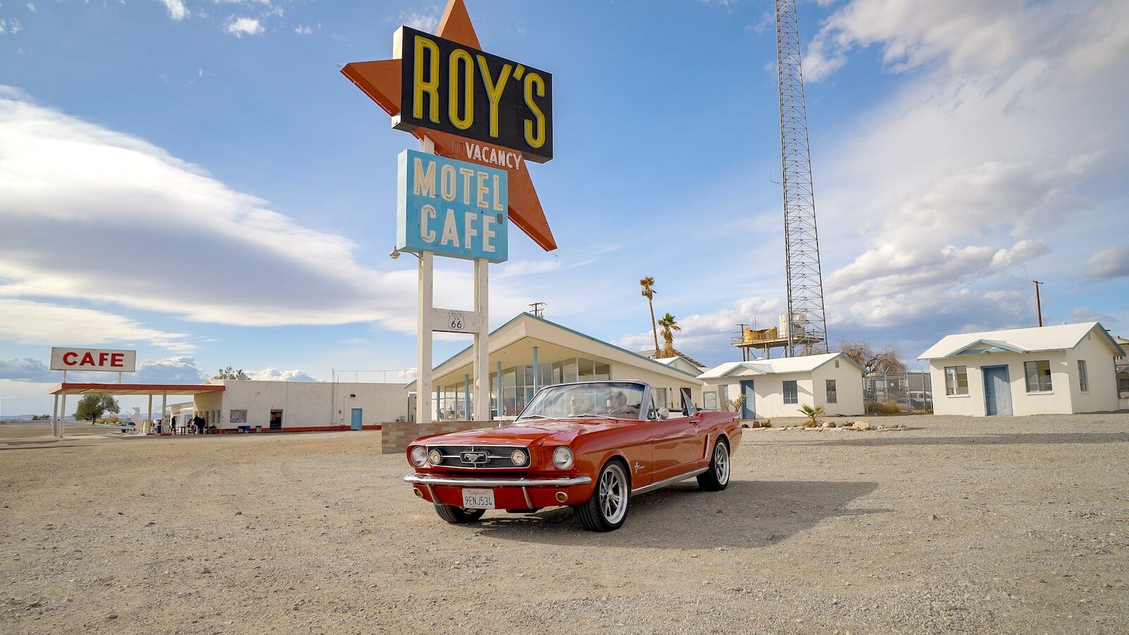
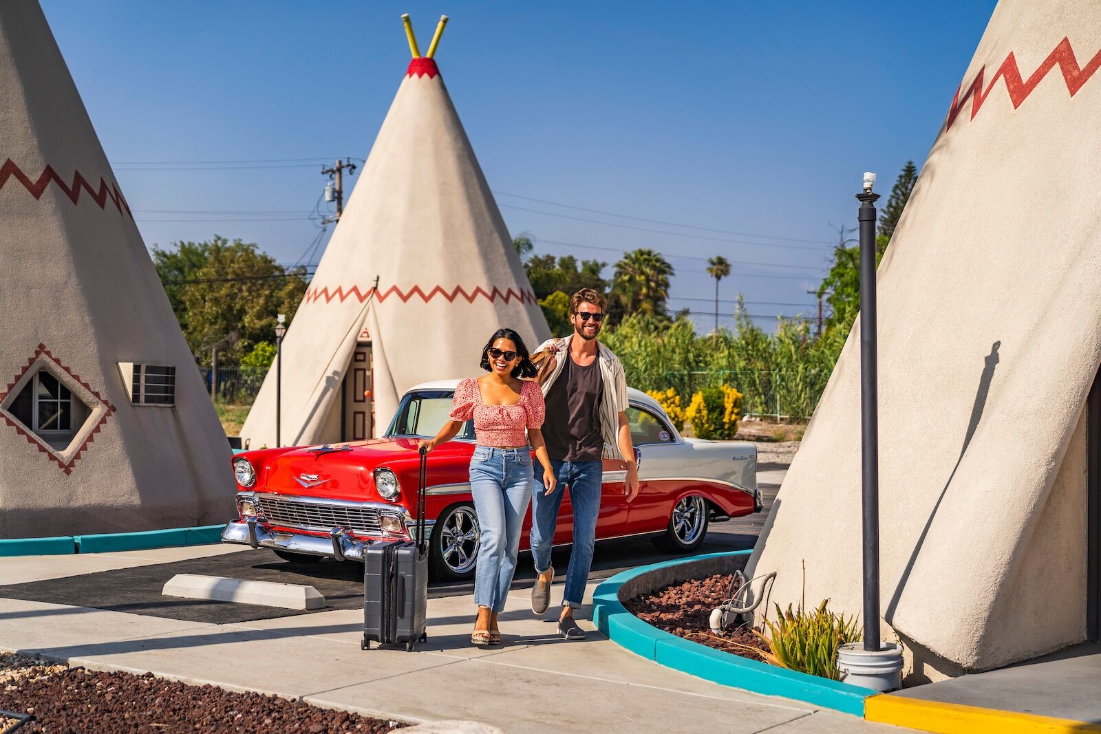
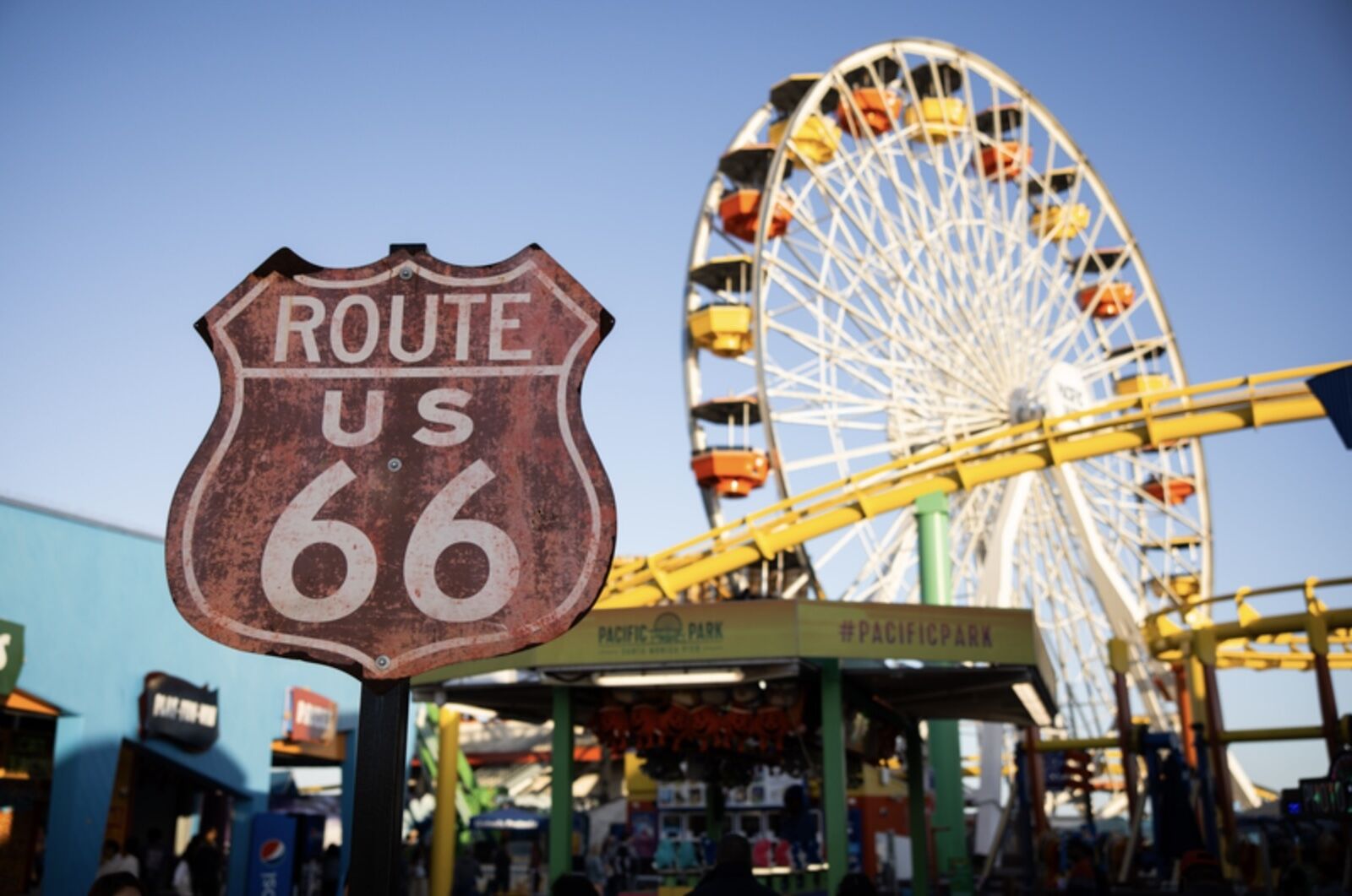
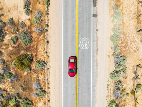
All of Route 66 is packed with reasons to love America’s most famous drive, but the last leg is its most cinematic. From the moment you leave Kingman and climb into the Black Mountains, you’re immediately immersed in desert drama along winding roads. It ends on the California coastline with salt in the air and palm trees lining the road.

Take your time on this section — pull over and watch the sunset, make that roadside stop for coffee, and take a desert photo session. Though it’s the shortest section of the route, it’s measured in experiences, not miles.

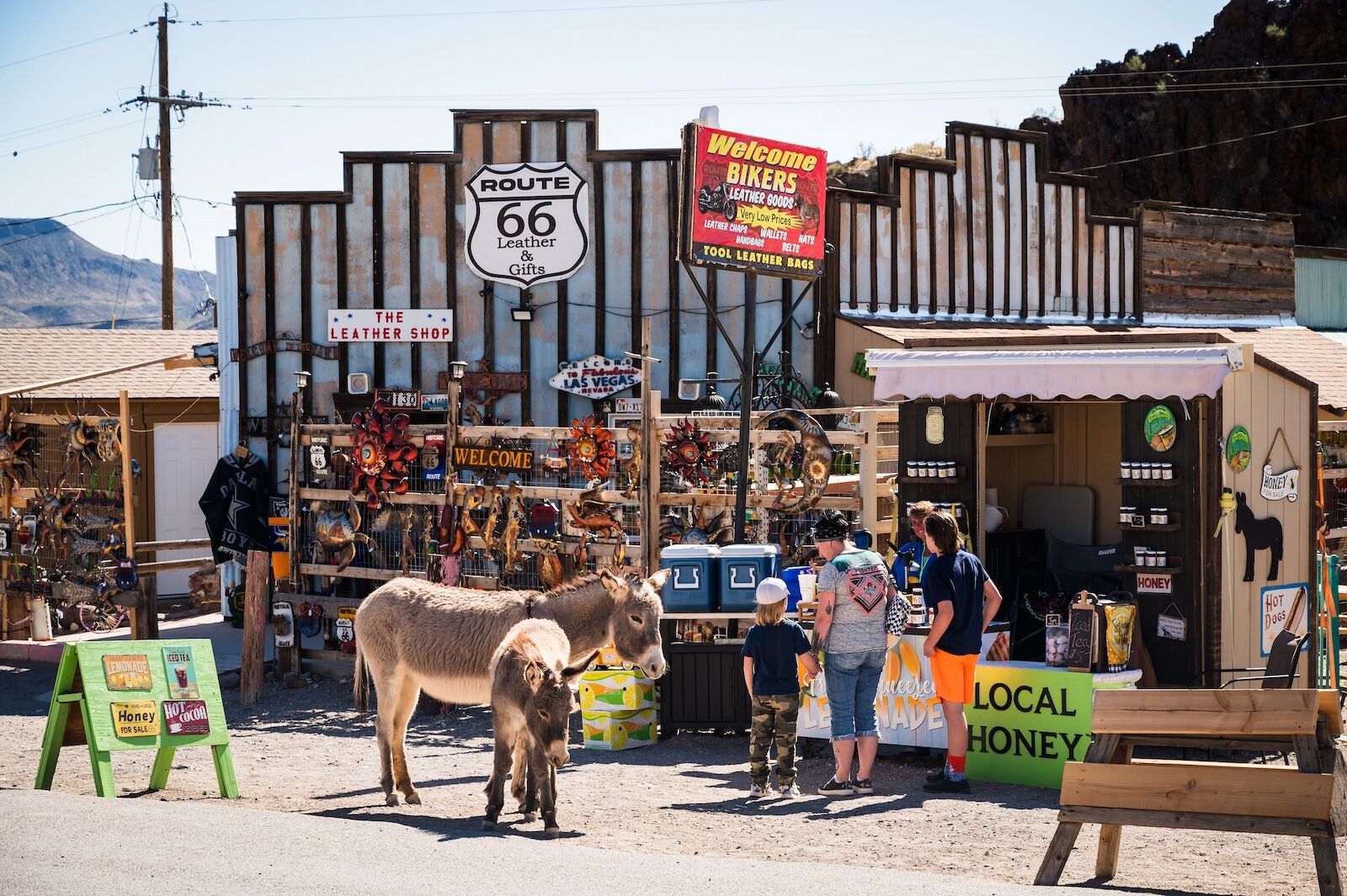
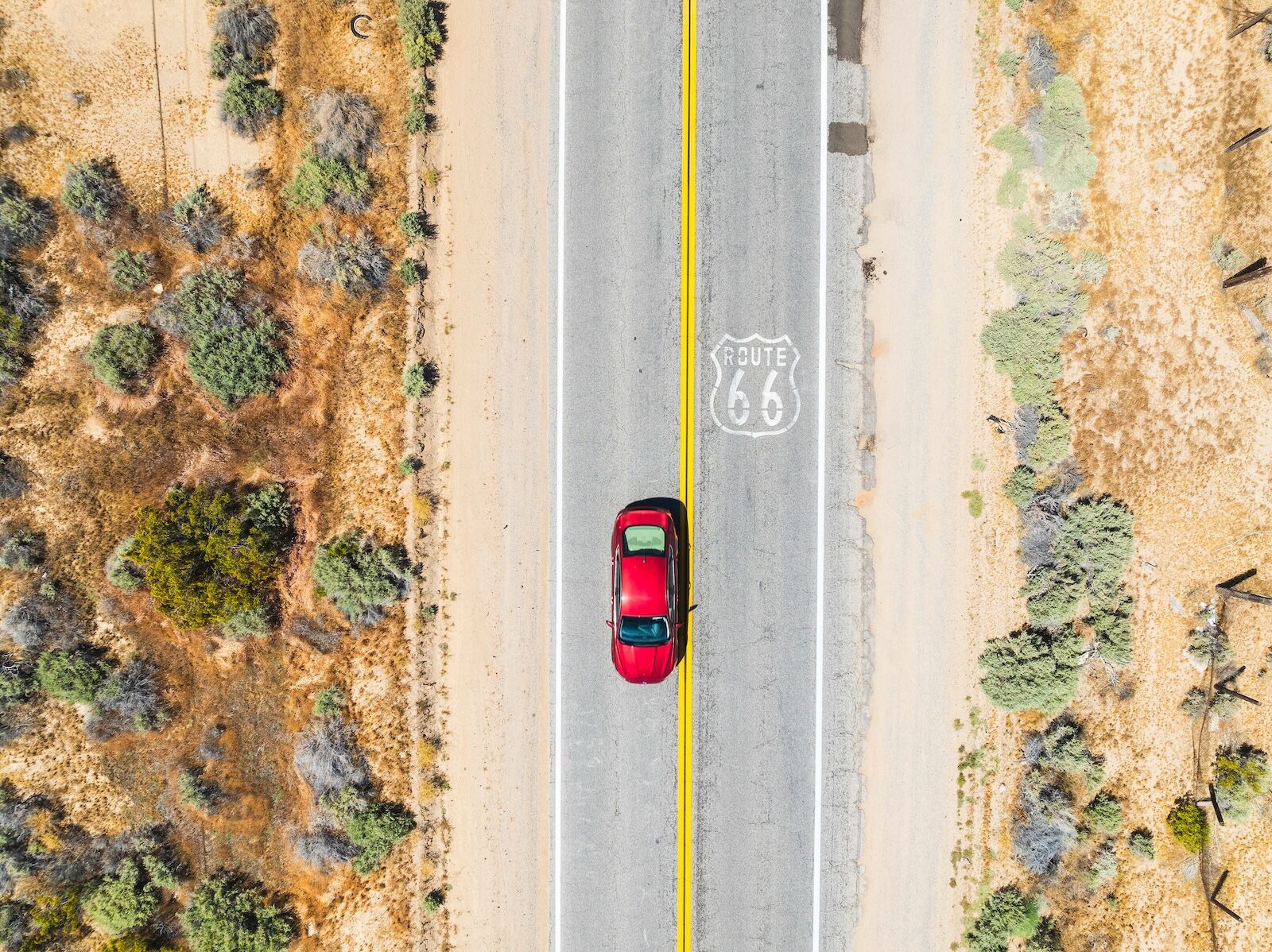
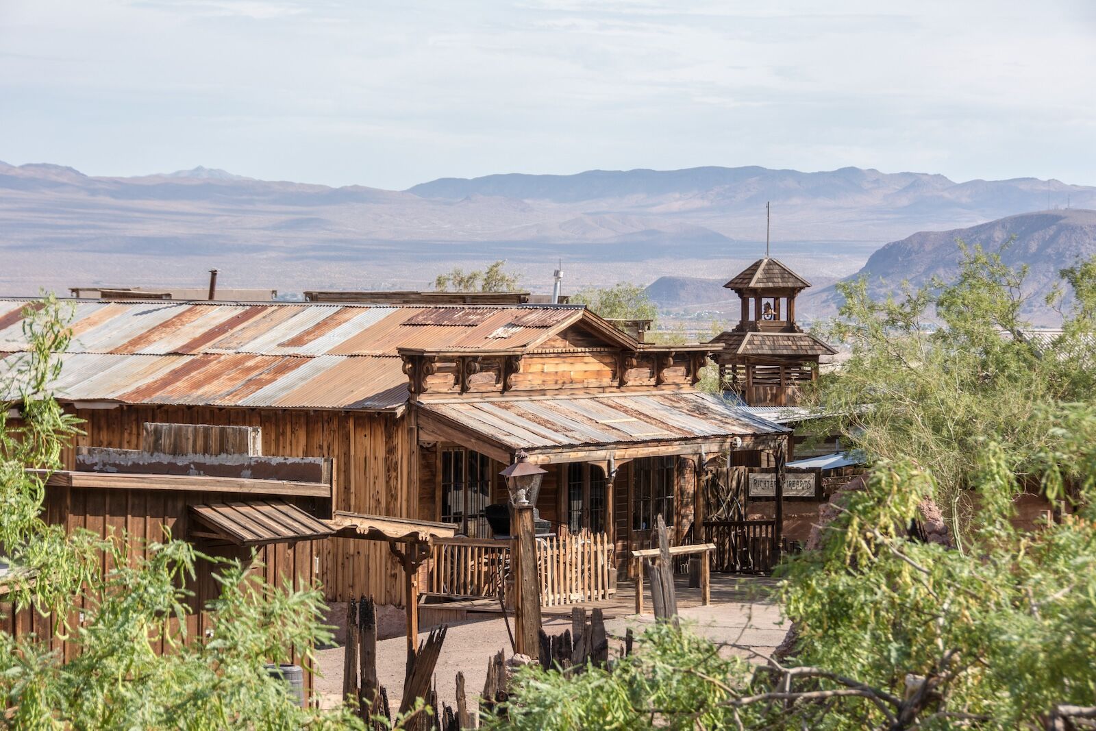
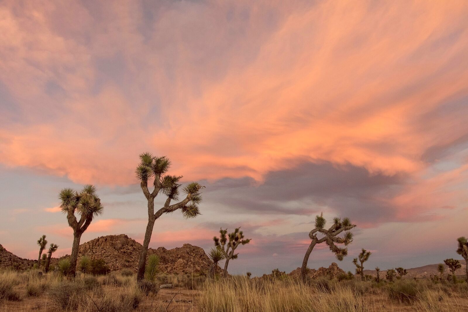
On the roughly 350 miles from Kingman to Santa Monica, you’ll cross the Colorado River into California, cruise through some of the most beautifully empty desert terrain on the continent, roll through a former gold rush town that has more wild burros than people, and eventually find the classic California dreamin’ views of the Pacific Ocean.

A Route 66 Kingman to Santa Monica road trip


This guide picks up in Kingman, Arizona, and heads west through the Black Mountains into the vast emptiness of the Mojave Desert. The final stretch transitions from cacti to palm trees, and if you drive all the way you’ll be on the famous Santa Monica Pier. This route spans about 380 miles, or closer to 500 if you add an optional round-trip detour to Joshua Tree National Park outside Barstow. Budget three to five days minimum, but add more if you want to hike Amboy Crater, linger in Oatman until the afternoon gunfight, or practice your night sky photography skills out in the Joshua Tree desert. Gas stations get scarce fast once you’re in the Mojave, so fill up whenever you get the chance, carry more water and snacks than you think you need, and stop for every roadside oddity that catches your eye.


Sections:


Oatman, Arizona: Burros, gunfights, and Gold Rush ghosts

oatman, arizona - arizona to california route 66 roadtrip

Photo: David Buzzard/Shutterstock

Kingman to Oatman drive time: 29 miles/50 minutes

The drive from Kingman to Oatman on Route 66 is a dramatic stretch of pavement. The steep road climbs into the Black Mountains through a series of tight switchbacks, with views that may make whomever is in the passenger seat reach for the the ceiling grab handle. Take into account that there are no guardrails on significant portions of the road. There’s a reason this section takes nearly an hour, despite being less than 30 miles long. It’s not a segment to rush.

Your reward for the climb (aside from the gorgeous views) is Oatman, a former gold mining boomtown that had roughly 3,500 residents at its peak in the 1930s and now has less than 100. But what it lacks in population, it makes up for with personality — and with wild burros. Descendant of animals used by Gold Rush prospectors roam freely through town and have been known to wander into shops, stop traffic, and accept snacks from visitors willing to share (veggies and other healthy treats preferred). You can buy bags of carrots at the local shops to feed them. You’ll want to give yourself plenty of time for photos of burros nuzzling into your hands, blocking roads, and staring you down from across the street when it spots the bright orange snack in your palm.

Beyond the burros, Oatman’s main drag looks like a Western movie set. The wood-fronted buildings are home to small shops, saloons, and restaurants, and on weekends there are cheesy mock gunfights staged in the street. Oatman is also a great place to explore the spookier side of Route 66, as the 1902 Oatman Hotel is supposedly haunted. Today, it’s a bar and restaurant with a museum on the second floor.

The Mojave Desert: Needles to Amboy

Oatman to Needles drive time: 22 miles/32 minutes

Cross the Colorado River at Topock to enter California and the Mojave Desert. Needles is the first real town across the border, named for a cluster of needle-shaped rock towers you can see from the river. It’s worth stopping for gas and supplies — the stretch ahead is gorgeous and almost completely empty of services.

Needles is a small town, but can serve as the starting point for a few different adventures. Head north for 40 minutes or so to reach the Grapevine Canyon Petroglyph Site, with more than 700 ancient rock paintings. About 10 minutes south of Needles is the Topock Maze (also called the Mystic Maze), which the Mojave People believe is a significant spiritual site. If you’re a birder, head to Havasu National Wildlife Refuge, where you may spot everything from the endangered, chicken-sized Yuma Ridgway’s rail to peregrine falcons from the park’s marked trails.

West of Needles, Route 66 passes through small communities. Many are ghost towns, or close to it. The jewel of the bunch is Amboy, where Roy’s Motel and Cafe has one of the best-preserved (and largest) mid-century roadside Googie buildings on the route. The boomerang-shaped “Roy’s” sign is frequently photographed for its vintage pumps against an otherworldly remote landscape. It’s been used in more than a few movies and TV shows. Roy’s is technically open for gas and limited provisions, but hours can be irregular.

Hikers would be well-served to stop at Amboy Crater, a cinder cone volcano just off the road. It’s a quick four-mile round-trip hike to the rim, looking down onto lava fields below. There’s free parking at the trailhead, but don’t delay too long — the desert sun quickly gets hot.

Bagdad Cafe: The famous diner in the middle of nowhere

Amboy Crater to Newberry Springs drive time: 56 miles/1 hour

In 1988, a German film director came to the Mojave and made a quirky movie called Bagdad Cafe at a truck stop in Newberry Springs. The film became a cult classic in Europe (you can find it on YouTube), and inspired Europeans to make pilgrimages to the truck stop. Today, it’s covered top to bottom in photos, postcards, and notes left behind by visitors who traveled from around the world to eat a slice of pie in this particular building.

There’s just a dusty, two-lane road through the tiny desert town, and it certainly doesn’t feel like it should be home to such a quirky piece of Hollywood history. But that only adds to the charm. Feel free to bring your own stickers, postcards, or other notes to add to the walls.

Barstow: The Mother Road Museum and mining kitsch

arizona to california route 66 roadtrip - calico

Photo: Maks Ershov/Shutterstock

Newberry Springs to Barstow drive time: 20 miles/25 minutes

Barstow isn’t the most glamorous stop on the route, as it’s mostly known for being a place where two highways intersect. However, it has one essential stop: the Route 66 Mother Road Museum, housed in a historic restored railroad station housed in the 1911 Casa del Desierto depot. The Spanish Colonial Revival building seems a bit out of place for the desert, and doesn’t match most of the other buildings in town. Inside, exhibits cover everything from the development of Route 66 to the Dust Bowl migration to the days of luxury road trips in the 1950s and ’60s.

Photography buffs will want to note that Barstow does have some other sites worth capturing, such as the sign-covered Tom’s Certified Welding and Machine Shop, the vintage green sign in front of the Cactus Motel, the “Route 66” sign in front of the Route 66 Motel, the neon sign of the Star Inn, and the aptly named Giant Fire Helmet.

From Barstow, you have some options for day tripping. You can head northeast for an hour on Interstate 15 to reach the historic town of Zzyzx, a health and wellness resort in the 1940s that’s now inside Mojave National Reserve. Its founder was later jailed for numerous crimes, including making fraudulent health claims. If you head there, you may want to drive the extra few miles to Baker to take a photo with the world’s largest thermometer. Naturally, there’s a gift shop.

Another good detour is Calico Ghost Town, a restored silver-mining town just outside Barstow. Founded in 1881 after major silver strikes, it once had hundreds of mines, saloons, boarding houses, and a few thousand residents before the silver market collapsed in the 1890s and the town was quickly left behind. In the 1950s, it was restored as a county park, and today has wooden boardwalks past old storefronts, silver mine tours, gold panning, restored buildings, and a few shops and restaurants. It’s a fun, slightly kitschy slice of Old West history. You can camp in the park, if you’re brave enough to spend the night.

Side trip: Joshua Tree National Park

joshua tree national park - route 66 roadtrip detour

Photo: Kasidee Karsten/Unsplash

Barstow to Joshua Tree: 83 miles/1 hour, 30 minutes

Route 66 doesn’t pass through Joshua Tree National Park, but if you’re willing to detour south, it’s one of the most striking additions to this final stretch of Route 66 — especially if you can add a few extra days to camp or stay in a remote desert Airbnb. The park sits at the intersection of the Mojave and Colorado deserts with a landscape defined by spiky Joshua trees, giant granite boulders, wide-open basins, and big-sky sunsets. After dark, those sunsets give way to one of the best stargazing locations in the United States.

For a short hike, Hidden Valley (1 mile, 114-foot gain) has classic Joshua Tree scenery without much elevation gain, and Barker Dam (1.1 miles, 50-foot gain) is another easy circuit through rock formations and desert flora. For something longer, check out the Boy Scout Trail (8 miles, 2250-foot gain one way) that goes through a famous natural formation known as “Wonderland of Rocks.”

Summer temperatures routinely exceed 100 degrees, so choose shorter trails and hike early in the morning if you’re visiting between May and September. Services within the park are limited, so make sure you have a full tank of gas and plenty of water before you head into the park. It’s about a 90-minute detour each way to Joshua Tree, whether you leave from Barstow or Victorville.

Victorville and San Bernardino: The last of the desert

arizona to california route 66 roadtrip - wigwam motel

Photo: Visit California/Wigwam Motel

Barstow to San Bernardino drive time: 71 miles/1 hour, 20 minutes

Leaving Barstow, make a stop in Oro Grande at Elmer’s Bottle Tree Ranch for quirky roadside art. It’s a forest made from welded metal “growing” from the sand, all with branches decorated with bottles that hum and rattle in the wind. It’s folk art meets fever dream, and one of the best photo ops on the California stretch. It’s open when it’s open. From there, if you haven’t had your fill of Route 66 museums, stop at the California Route 66 Museum in Victorville, with vintage gas pumps, diner booths, classic cars, and exhibits that highlight the West Coast section of the road.

From Victorville, you’ll climb toward Cajon Pass, the mountain divide between the Mojave Desert and the San Bernardino Valley. For the historic Route 66 experience (rather than the highway), take Cajon Boulevard. It winds slowly through the pass and feels different from the interstate, with narrow lanes, winding roads that hug the mountains, and long views back toward the desert behind you. There are several unofficial pull-offs with sweeping views across the valley.

At the bottom of the pass is a true piece of American history, for better or worse: the Original McDonald’s Site and Museum. It’s the first-ever McDonald’s, founded by the McDonald brothers, and is where the country’s modern-day fast-food culture was born. Today, it’s a free museum crammed with memorabilia and a handful of photo ops that are pure Americana. If you want to spend the night nearby, the Wigwam Motel in Rialto has concrete teepee rooms. At one point, motels like this dotted the entirety of Route 66 and were a must-stop fixture for road trips, but today, only three remain.

On to Pasadena: cruising into coastal California

pasadena california downtown

Photo: Michael Gordon/Shutterstock

San Bernardino to Pasadena drive time: 53 miles/1 hour

After leaving San Bernardino, Route 66 becomes Foothill Boulevard. If you’re spending the night in the area and not planning to drive much farther, the Magic Lamp Inn is a retro throwback restaurant, complete with red leather booths and a bright neon sign topped with a real flame. It’s a glitzy stop for a legitimately good dinner, or at least a cocktail.

Route 66 runs straight through a compact historic downtown in Upland. It’s a good place to stop and walk, with a farmer’s market and fair every Saturday, antique stores, art galleries, quirky local shops, and more. There’s also a Madonna of the Trail monument honoring pioneer women — one of 12 in the country.

As you move west, you’ll enter Claremont, home to the Rancho Santa Ana Botanical Garden. It’s focused on native California plants and is robust. Plan on at least two hours, or longer if you take one of the optional tram or walking tours. Route 66 follows Foothill Boulevard with excellent photo stops between Barranca Avenue and Citrus Avenue, where the San Gabriel Mountains seem to rise just beyond the road.

Nearby is the famous “Bridge to Nowhere,” a beautiful arch bridge from the 1930s over a canyon that connects nothing to nothing. It was built before the roads on either side were completed, and due to heavy flooding, those roads were never built. Now, it’s accessible via a 10-mile roundtrip hike that starts on Camp Bonita Road. There’s paid parking at the trailhead, or you can park for free if you have an America the Beautiful pass.

Finally, in Pasadena, the world’s your oyster. There’s so much to do nearby that it comes down to what you’re interested in rather than what’s available. Old Town Pasadena is a sprawling mix of old and new, with buildings like the 1908 Gamble House (built in a classic Arts and Crafts style with guided tours), the glamorous Raymond Theatre from 1921 (tours by appointment only), and the Pasadena Museum of History on Millionaire’s Row where you can take guided art and mansion tours.

For a quick but dramatic detour, drive or walk to the Colorado Street Bridge, a Beaux Arts concrete arch from 1913 across the Arroyo Seco River. Pasadena’s Storrier Stearns Japanese Garden is open on weekends, haunted pub crawls and history tours run almost every night, and the Norton Simon Museum has works from around the world from everyone from Goya and Raphael to Picasso, Rodin, Matisse, Monet, and more.

Santa Monica: the last stop on Route 66

route 66 kingman to santa monica road trip - pier

Photo: Santa Monica Travel and Tourism/Visit California

Pasadena to Santa Monica drive time: 26 miles/45 minutes

Route 66 officially ends (or begins, if you want to double back) at the intersection of Santa Monica Boulevard and Ocean Avenue, one block from the Pacific Ocean. If you’ve road tripped all of Route 66, or even just this last leg, you owe it to yourself to take a photo at the “End of the Trail” sign at the Santa Monica Pier. It’s been a pilgrimage site for drivers for decades, and knowing you’ve just completed a 2,500-plus-mile drive across America makes the experience of finally touching it all the more special.

When it first opened, Route 66 ended in Downtown Los Angeles. Business owners in Santa Monica lobbied for it to extend another 13 miles to the ocean to give it a more symbolic finish, which happened from 1935 to 1936. Now, the road ends at the entrance to the famous Santa Monica Pier, a classic seaside amusement pier built in 1909. It has a small Ferris wheel, a carousel that dates to 1922, arcade games, excellent fish tacos, and enough nostalgia to fill an entire afternoon. You’ll find no shortage of photo ops and stands selling all manner of Route 66 memorabilia, in case you didn’t pick up enough from the quirky shops along your drive thus far.

For a celebratory meal, The Lobster at the foot of the pier is a splurge-worthy seafood spot with views of the water. Or head a few blocks inland to any number of restaurants along Main Street or Wilshire Boulevard. Book a room at the Fairmont Miramar Hotel & Bungalows, if you want to end on a high note. It’s old, glamorous, and located on a bluff above the beach, adding an elegant note to your trip. After a week or more on the road, it’s nice to end the trip at a place with stunning sunset views and a proper cocktail bar — especially if you’ve been spending the last week camping and staying in roadside motels.

Next up: (Section 1): Road tripping Route 66: Chicago to St. Louis

Discover Matador

Save Bookmark

We use cookies for analytics tracking and advertising from our partners.

For more information read our privacy policy.