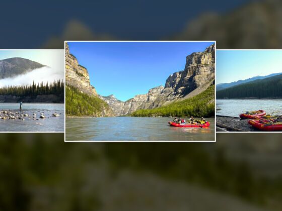
Rafting the Nahanni: Wild Canyons, Virginia Falls, and a River Worth Protecting

Northwest Territories Sustainability National Parks Adventure Travel
by Tim Wenger Aug 27, 2026

The minimal man-made infrastructure within the boundaries of Nahanni National Park Reserve, which occupies 11,600 square miles of Canada’s remote and rugged Northwest Territories, is made entirely of wood. Its purpose, aside from returning to the earth after its useful life has passed, is to allow human travel through the park to keep this sacred river and its surrounding wilderness intact as it has been for millennia. Get in, get through, and get out. And keep it simple while you’re here.

In July I joined a rafting expedition down the Lower Nahanni with Nahanni River Adventures, during which wildfires and weather caused us to spend a few wayward days getting to camp atop the famed Náįlįcho, or Virginia Falls. Once we got there, we spent four glorious days rafting the lower Nahanni to the park’s southern boundary near the village of Nahanni Butte. I came to learn of the history of this land and the fight for its protection, and I left having gained a new understanding of what the term “community” means.
A landscape worth fighting for

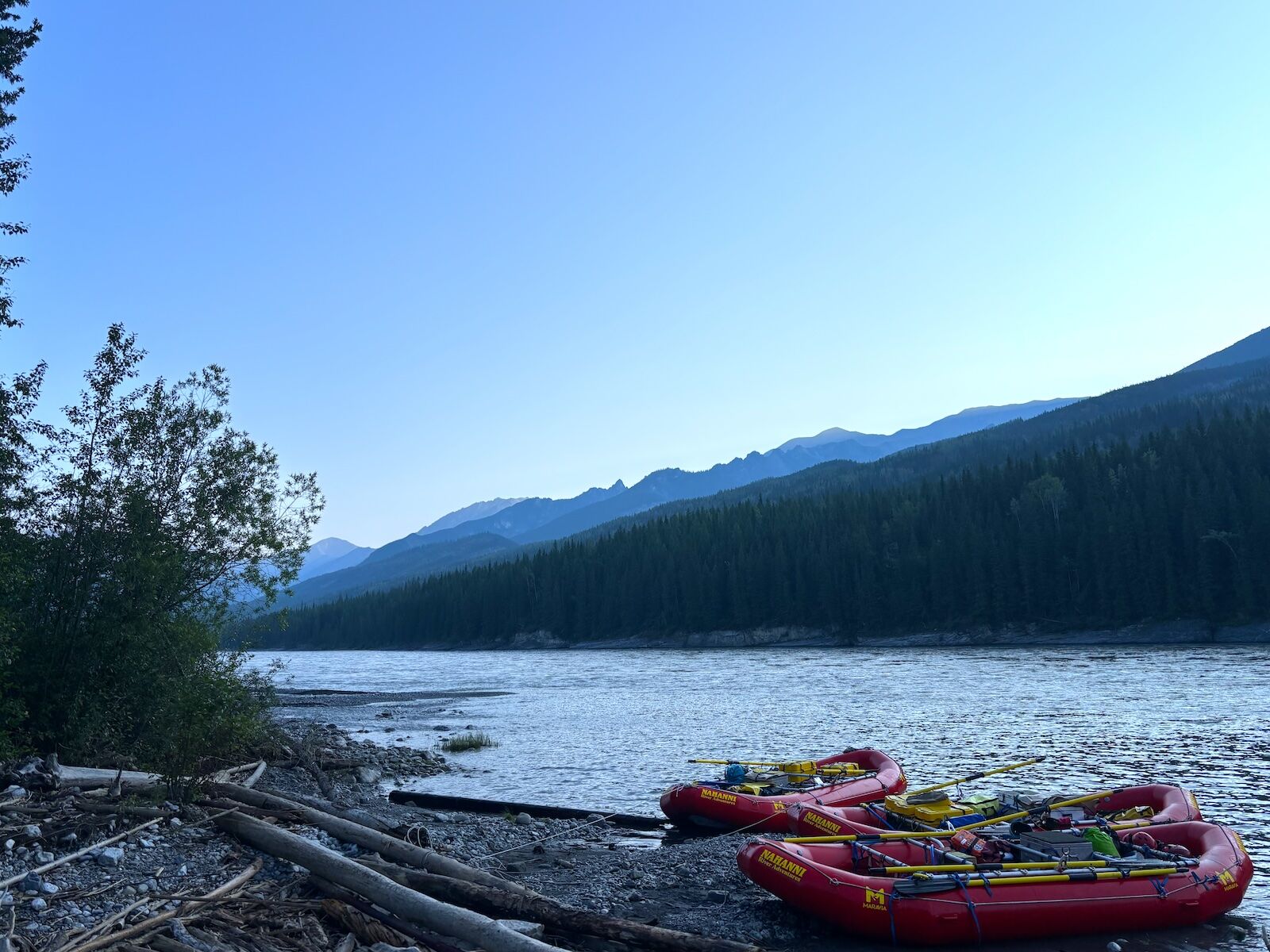
rafts on the nahanni river

Nahanni National Park was established in 1972, and greatly expanded in 2009 as the Nahanni National Park Reserve. Permitted rafting expeditions are among the only was for most to experience the park’s interior. Photo: Tim Wenger

Here, the Nahʔą Dehé Dene Band of the Dehcho First Nations have stewarded the landscape for nearly 10,000 years. Since the top of the century, it has partnered with the Canadian Parks and Wilderness Society (CPAWS) and Parks Canada to keep their ancestral lands intact. The park’s 2009 boundary expansion and later signing of the 2022 Ndahecho Gondié Gháádé (Following the Words of Our Elders) cooperative management agreement ensures, for now, that it remains wild by protecting the watershed from development and overzealous resource extraction. A cohort of rugged river rats were among those fiercely advocating for first the establishment, and later expansion, of a national park.

The landscape shifts by the mile. The valley bottoms along the river are thick with white spruce and balsam poplar, dense enough in places to feel like a wall. Climb even a little and black spruce takes over, joined by lodgepole pine to the west and stands of tamarack that torch gold in September. Near Virginia Falls, the forest thins into spruce and larch scattered through lichen taiga, with wild orchids pushing up through the moss. Keep climbing and the trees give out entirely, replaced by the sedges, dwarf shrubs, and lichen-crusted rock of the alpine tundra all the way to the ridgelines. It adds up to more than 700 species of vascular plants, richer than any comparable area in the Northwest Territories. The reasons are the hot and cold mineral springs, waterfall mist zones, wet calcareous ground, and terrain that, by some insane twist of geological fate, the glaciers never touched.


Uncontrolled wildfire forced the evacuation on June 28 of Fort Simpson, where our trip was supposed to begin and end, and its 1,300 residents. Between 132,000 and 164,800 acres were burned, according to the territorial government. Instead, we flew into Whitehorse, Yukon, an entire territory to the west, and after an overnight stay in a hotel, we were shuttled by van five hours south to Watson Lake, near the territory’s border with British Columbia. The plan was to skip the town entirely in favor of an immediate float plane to the first campsite on the river, but socked-in weather kept the planes grounded for two days. Instead, we walked through Watson Lake’s Sign Post Forest, where some 100,000 street signs from around the world hang in a grove of trees on the outskirts of town. We spent the rest of the time hiking, frisbee golfing, and experiencing the depths of the restaurant scene in the Alaska Highway town of 1,100 residents.

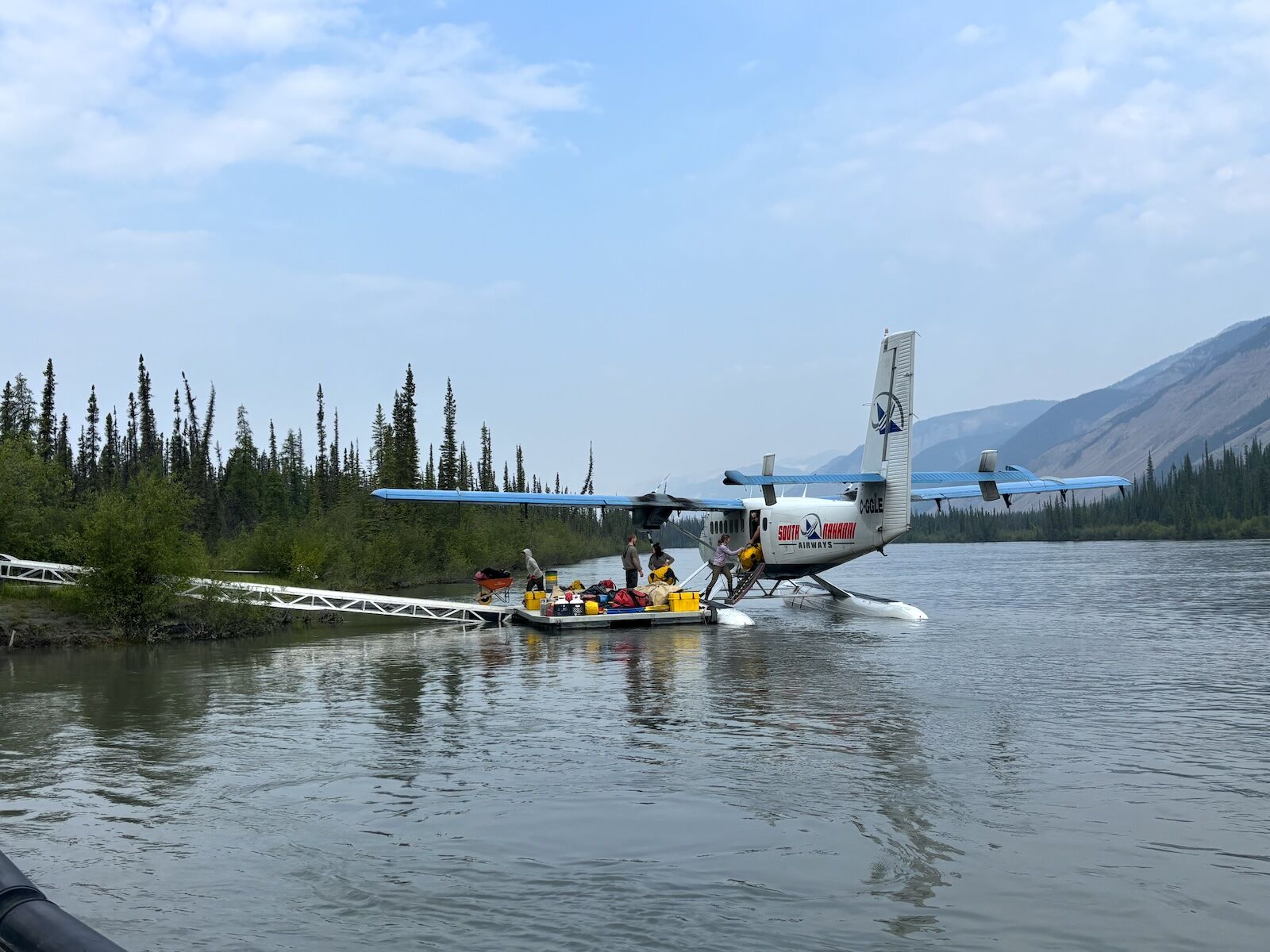
The float plane operated by Northern Rockies Air took off from Watson Lake around 10 AM on day three. An hour later, after climbing over the jagged mountain border into Northwest Territories, we skidded to a halt on the Nahanni, just above Náįlįcho, also known as Virginia Falls, and docked at the only “developed” campsite in the park. Wooden platforms anchored our tents, and after a welcome briefing from our lead guide, Grace McCredie, we took a quick walk out to a viewpoint at the top of the falls before dinner.

A float plane positioned us above Virginia Falls, where we camped for a night before portaging gear and food down to the put in below the waterfall. Photo: Tim Wenger
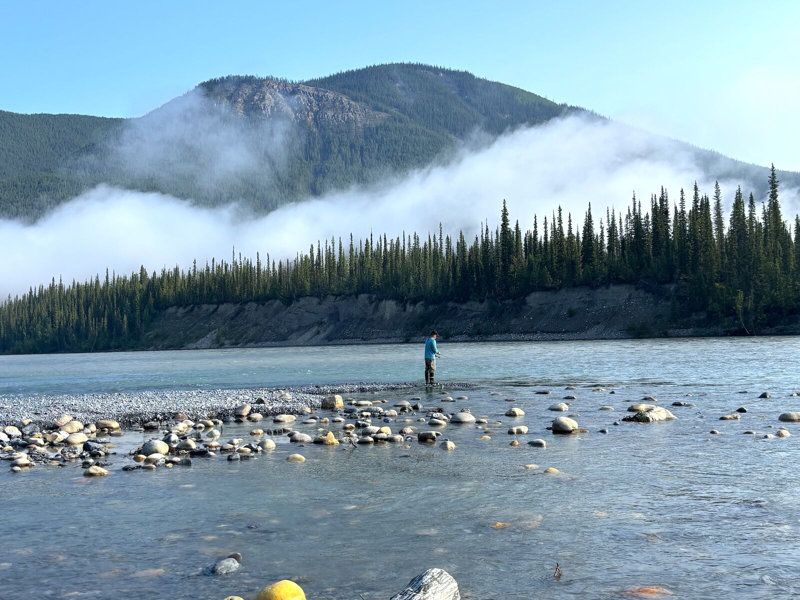
Merango Creek camp offered ideal angling. Photo: Tim Wenger
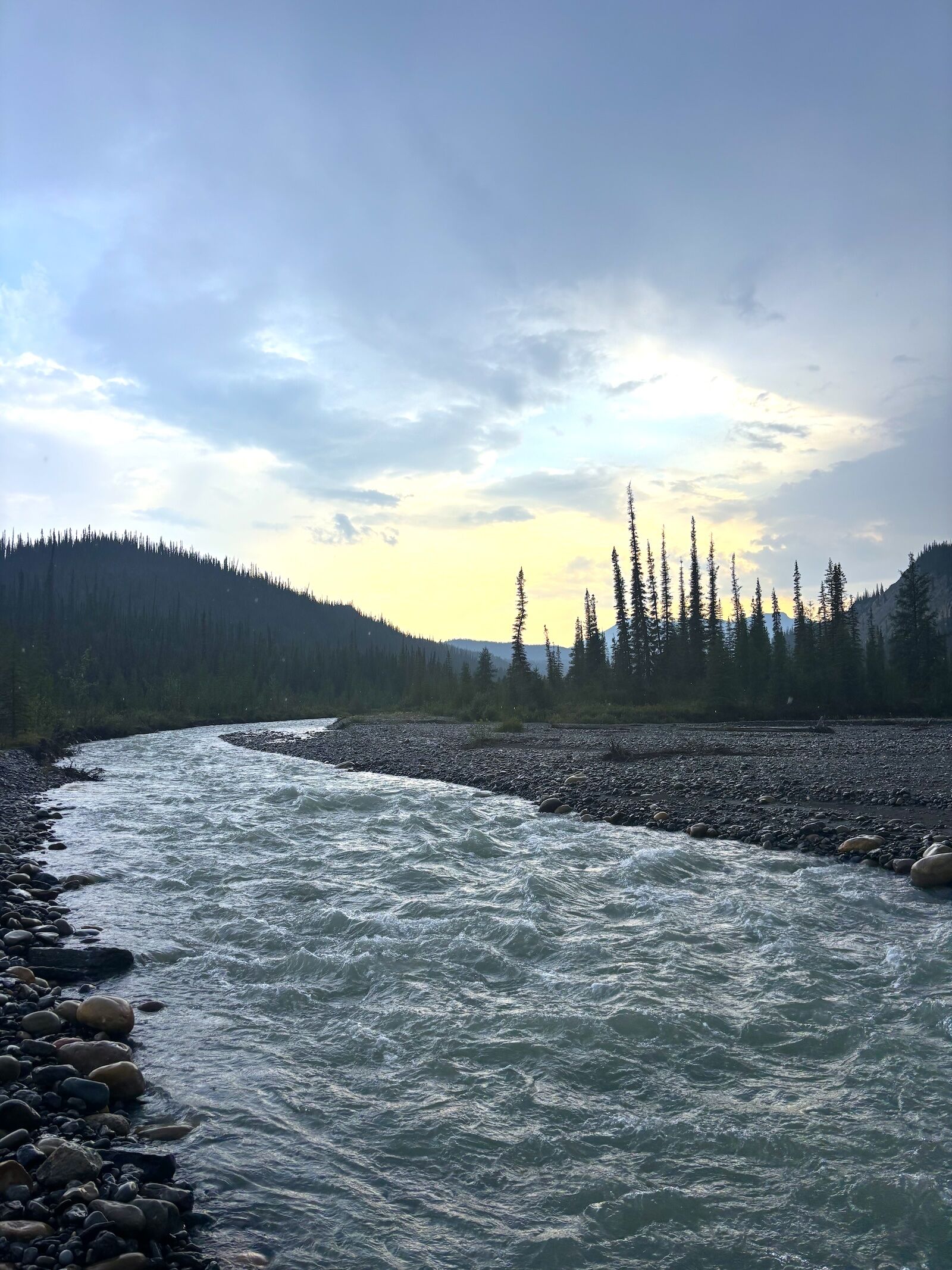
The sun never fully sets in the North during summer, but the golden hue over Merango Creek at 10 PM is worth staying up for. Photo: Tim Wenger
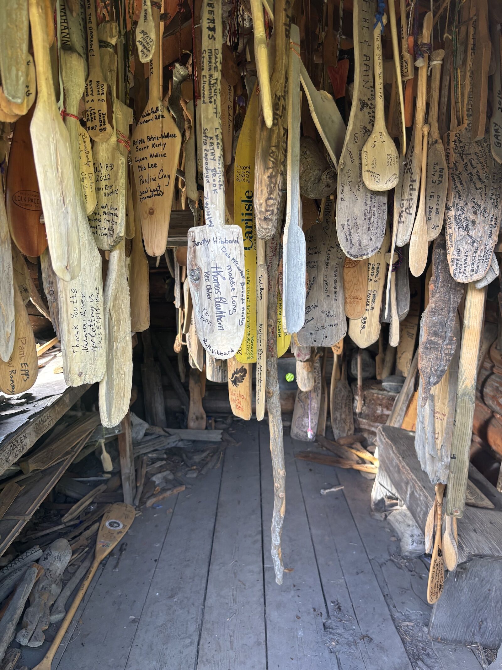
Expeditioners widdle and sign a paddle to mark their trip down the Nahanni, and hang it in one of two "paddle cabins" en route. Photo: Tim Wenger

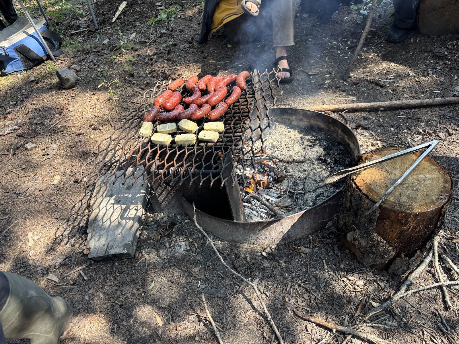
The perk of a river expedition versus other forms of backcountry travel is that after we portaged our gear down an extensive, steep trail to the bottom of the waterfall, the river carried the weight the next morning. This allowed elaborate dining setups throughout our trip that included steak and potatoes, greek souvlaki, couscous and salads, and sausages from a longtime butcher in Yellowknife. In the mornings, granola and coffee were served at 7 AM sharp, with a full hot breakfast – scrambled eggs, waffles, and breakfast burritos, depending on the day – served an hour later. Our guides, it turned out, were as skilled at the art of the campsite cookout as they were at navigating a waterway moving at 19,000 cubic feet per second.

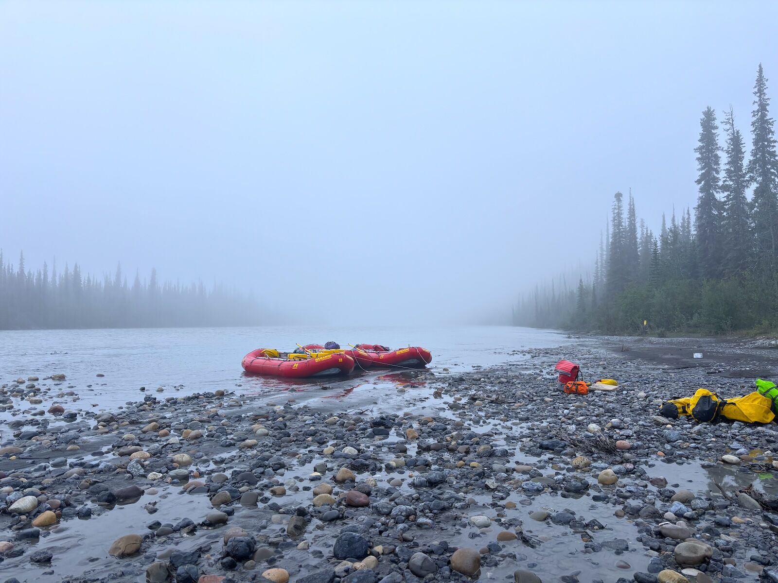
By the time we finally got to the river, we were two days behind schedule and needed to make up ground. We pushed offshore in mid-afternoon, traveling a few miles before camping along the rocky banks of Marengo Creek as it spills into the Nahanni. The tributary’s fingers made perfect banks for fishing and camp chair lounging, the water a gurgling turquoise ribbon that paired perfectly with a cool Old Style beer. It rained lightly throughout the evening, and in the morning I woke to a dense haze engulfing our campsite and the river beyond. The setting was as eerily beautiful as anything I’d seen in a lifetime of mountain exploration.

That beauty helped protect the Lower Nahanni from overzealous extractive interests. Parks Canada set aside the original Nahanni National Park Reserve in 1976, but that boundary was never big enough for the people who knew the place best. Over the next three decades, the Dehcho First Nations, CPAWS, and other groups led a campaign to support the park’s expansion that reached across the country and beyond. By 2009 the park had grown sixfold, swallowing nearly the entire South Nahanni watershed and anchoring the northern end of the Yellowstone to Yukon corridor, one of the longest wildlife conservation corridors on the continent.


CPAWS spent the better part of a decade building the case for legislators in Ottawa, and outfitters who ran the river for a living joined in. Nahanni River Adventures mobilized clients and sent speakers on a cross-country tour, while operators like Black Feather lent their institutional weight alongside scientists and thousands of individual Canadians who’d never paddled the Nahanni but understood what was at stake. According to The Magnificent Nahanni: The Struggle to Protect a Wild Place, the pages of which I devoured each night at camp, the campaign drew almost unanimous public support. When the bill finally reached the House of Commons, it passed without a single dissenting vote. Today, the park covers 91 percent of the Greater Nahanni Ecosystem.

First Nations hunting and traditional harvesting rights were written into the reserve designation alongside the new boundary, backed by a “renewable harvesting” framework that recognized subsistence use as compatible with conservation rather than opposed to it. That balance has roots to 1938, when the federal government created the Mackenzie Mountains Game Preserve, an early wildlife protection covering the same area that grew, in part, out of pressure from river travelers and outfitters like Harry Snyder, a hunter and expedition leader who wanted the region’s Dall sheep populations managed rather than depleted.

A family business, passed down the current

raft on nahanni river

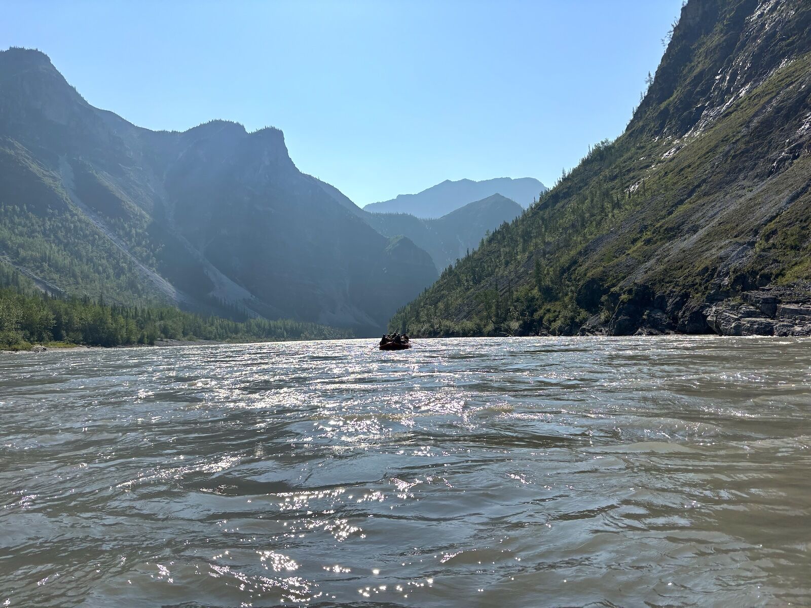
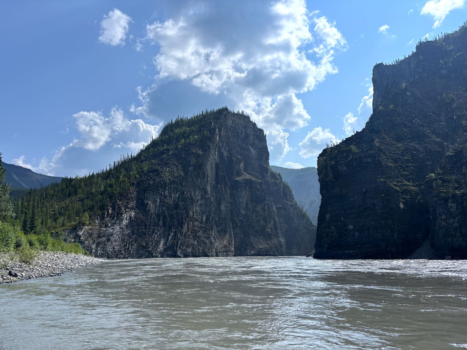
The expedition passed through four distinct canyons. Photo: Tim Wenger

We covered just under 50 river miles on our first full day on the water. With water moving high and fast and minimal rapids to speak of, the going was easy. Spread across three boats, we got to know each other well in short fashion. Besides myself, the other guests on the trip included a multigenerational family from Toronto — Naomi Loeb, the matriarch of sorts, celebrating her upcoming 80th birthday in the totally normal manner of spending several days expeditioning down a wild subarctic river.

At Marengo Creek, the group raised a Champagne toast to her. The following night, while camped at a pullout known as Painted Rocks for the limestone and sedimentary rock walls that are coated in vibrant red mineral pigments, the guides produced a birthday cake baked in a Dutch oven over the fire, along with a bottle of Scotch, and the whole camp sang. It was a small moment, but it said something bigger about how this operation runs: even on a trip where the original itinerary had long ago gone out the window, the planned special moments still came forward.

On our final day, McCredie pulled us over at an abandoned cabin. Expeditioners have hung paddles here for decades to mark their trips down the Nahanni. We hung our own small paddle whittled from a stick at camp the night before, with each of our names inscribed along with the nickname Naomi’s family had given the trip, “Nahanaomi.”

That same day we passed through First Canyon, the deepest and most dramatic of the four gorges below Virginia Falls. As we wound between the 3,200-foot-high walls, McCredie pointed out numerous caves in the limestone and shale, part of a system of hundreds of karst caves formed by slightly acidic groundwater dissolving soluble rock, crawling through the limestone and dolomite cliff faces. That morning at camp, one of our guides, Cam, caught an eight-inch trout with his bare hands, held it long enough for the group to admire it (I was more astonished he’d caught it in the first place), and then released it to swim off.

Over a calm stretch of river, we noticed several trees extending sideways from the shoreline over the water. McCredie explained that the Nahanni valley has a layer of permafrost one to two feet below ground. During high water, increased erosion hastens permafrost melting and causes trees in some areas of the river to slump over the water as if they grew horizontally out of the earth.

A heavy fog often sits over the Nahanni in the early morning. Photo: Tim Wenger
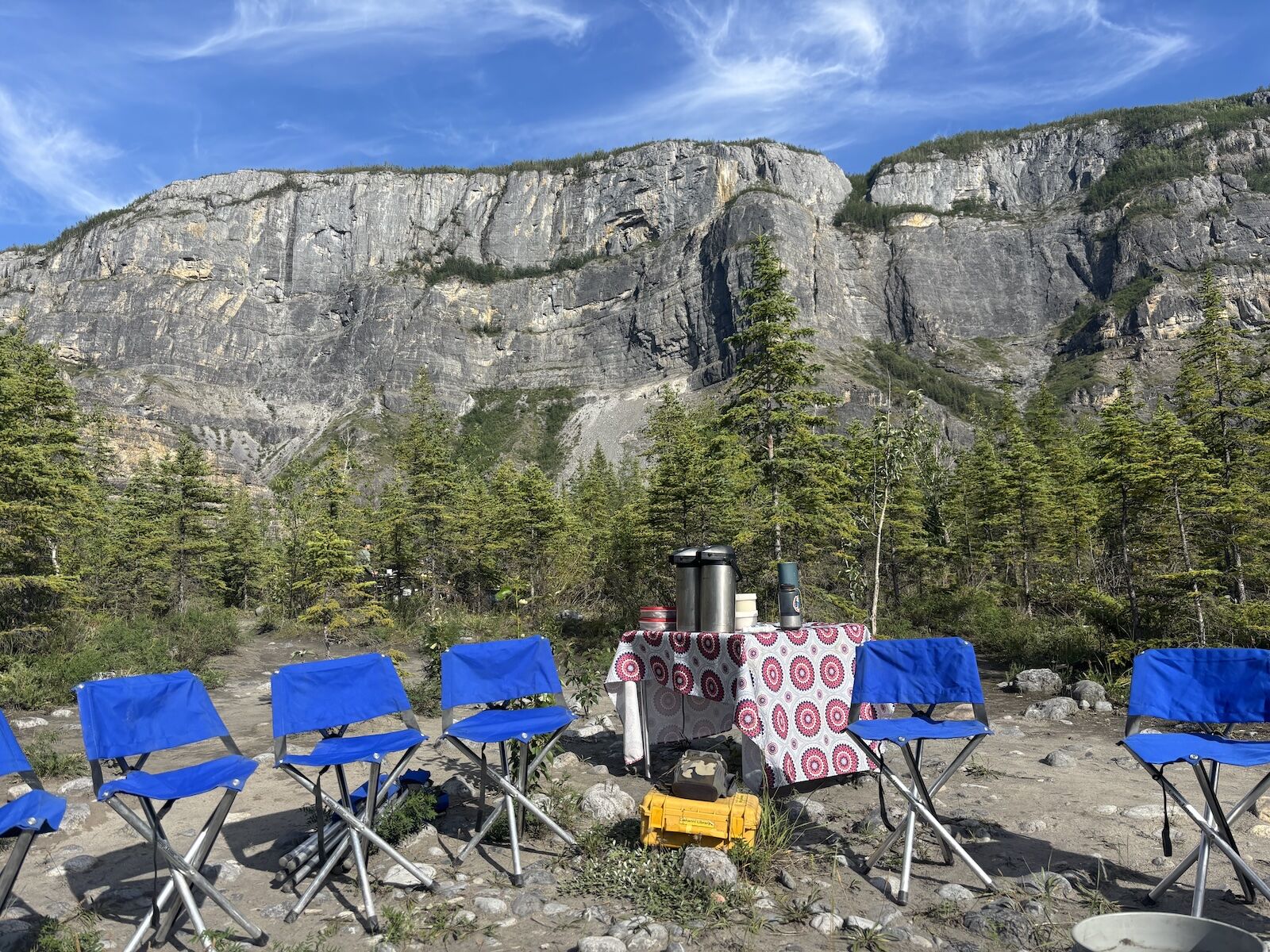
The stories these chairs have heard . . . Photo: Tim Wenger
NRA's guides cook three meals a day for guests. All compost is burned, following strict Leave No Trace ethics. Photo: Tim Wenger

The company I’d signed on with has its own layered history, one that traces to when the park’s advocates were fighting to expand its boundaries. Neil Hartling founded Nahanni River Adventures in the mid-1980s, after landing a rare Nahanni outfitting licence in 1984. He spent decades of his life building the Nahanni River Outfitters Association to unite competing canoe and rafting companies under one voice, feeding information to Parks Canada and CPAWS about where mining threatened the reserve. He lent the credibility of a working outfitter to a fight that needed exactly that kind of ground-level testimony. Long before “ecological integrity” became language written into federal law, people like Hartling were already arguing that a wild river needed more than admirers. It needed defenders who knew it at water level.

A parallel history was unfolding a few hundred miles away. David Hibbard started guiding on the Nahanni in the 1980s and eventually scraped together enough to buy a license of his own, launching a company called Nahanni Wild.

“It was a lifestyle for them,” Joel, Hibbard’s son, told me over the phone after I returned home. “They wanted us kids out on the river as much as possible.”

He apprenticed under his father starting at 14, was leading his own trips by 18, and briefly tried to walk away from the family business entirely.

“I decided there’s no way I was going to be like my dad,” he said, describing a six-year detour into sports equipment manufacturing before his father needed a guide one summer and Joel found himself back in a raft, where he found an appreciation for the lifestyle on his own terms.

In 2018, Joel and his sister Dana bought the assets, brand names, and river tenure of Hartling’s operation, folding Nahanni Wild, Nahanni River Adventures, and Canadian River Expeditions into a single family of companies their parents could finally step back from. The pandemic forced a harder call a few years later, mothballing the Nahanni Wild name and consolidating everything under the nahanni.com banner. What’s carried through every iteration of the business is the same instinct that put Hartling in a room with government officials 40 years ago.

“There’s constant effort to be working with the First Nations, the conservation groups, and the Canadian public at large who see value in these places being held up as important parts of our social fabric,” Joel said. “Don’t ever count a wild place as protected. You may have victories, but there’s someone else on the other side who’s using economic opportunity that may not line up with our vision.”

It’s why he describes outfitting less as a business than as an ongoing practice, saying, “it’s never something you’re done doing.”

A small part of a bigger story

The Gate along Nahanni River

The Gate” along the South Nahanni River was formed by a cut-off meander where the river carved a shortcut through a narrow neck of rock, rather than by a collapsed rock barrier. Photo: Tim Wenger

This trip was proof of that same adaptability. The itinerary was rewritten at least twice before we even got to the water. That’s appropriate, though, because the North isn’t static. Wildfire seasons are starting earlier and burning hotter across the Northwest Territories, and permafrost gives way a bit more each year. Yet the Nahanni watershed remains.

As travelers, it’s our duty to tread lightly here, to leave no footprint beyond the portage trails and wooden camping platforms that make moving through this landscape possible. Do that, and there’s no river quite like it. Canyon walls lit gold at midnight, towering above a dutch oven birthday cake baked under a sky that never fully gets dark. Traveling with Nahanni River Adventures made it easy to be inspired by the community that’s kept this river wild.

Wildfire smoke blanketed the sky as we drove east to Fort Providence and our final camp after more than 150 miles on the river. A bear cub stood in the road halfway there, staring at our slowing van and looking as puzzled by his hazed surroundings as we were. To experience this landscape and not be compelled to protect it seemed, to me, unfathomable. Gazing out the window of my Canadian North flight from Yellowknife south to Edmonton, the sapphire-sparkling waters of Great Slave Lake expanding below, I took comfort knowing that the outfitter I’d traveled with across two territories and down this river has both the history and the people to leave you proud to be just a tiny part of that story.

Discover Matador

Save Bookmark

We use cookies for analytics tracking and advertising from our partners.

For more information read our privacy policy.