The hike using traction devices across a glacier was the most challenging section of trail. Photo: Tarang Mohnot

I Speed-Hiked a 19,700-Foot Peak in the Himalayas. Here's What Went Wrong.

India Hiking
by Tarang Mohnot Nov 21, 2024

My friends and I chose the date of September 15, 2024, a day picked after scouring our weather apps and seeing that it promised sun and clear skies. Six of us were ready to tackle a peak 19,783 feet, or 6,030 meters, above sea level: UT Kangri II. Five of us would be attempting it for the first time, while one had made the trek before.

UT Kangri II is a peak in the union territory of Ladakh in India. It’s a sparsely populated, high-altitude region on the western Himalayas, with desert-like terrain, deep valleys, and mountain passes. Of the hikable mountains in India for beginners, UT Kangri II itself is relatively non-technical, with an easy approach. But it’s still a grueling challenge, given the altitude – especially as our goal wasn’t just to reach the top, but to speed-hike it in a single day. We’d start before the sun rose and return before dusk, ideally.
Most people do UT Kangri II as a three-day trip, taking the first day to reach basecamp, the second day to summit and return to basecamp, and the third day to trek down from basecamp. There are usually a few days of acclimatization and training before that for travelers coming from outside northern India. The trailhead sits at a base elevation of more than 15,000 feet, and the summit is only 500 feet shorter than Denali, the tallest peak in all of North America. Since we’d be making an elevation gain of 4,600 feet in one day, one thing was certain: we had to prepare well.

The road to Rumtse


UT Kangri II himalayan summit - drive to trail

Driving from Leh to Rumtse. Photo: Tarang Mohnot

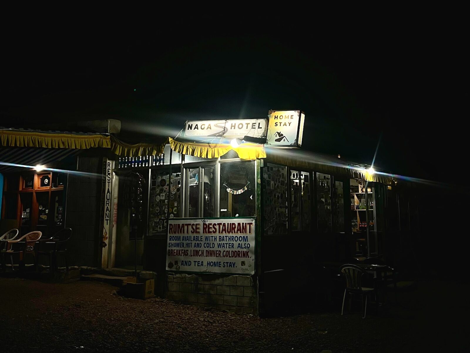
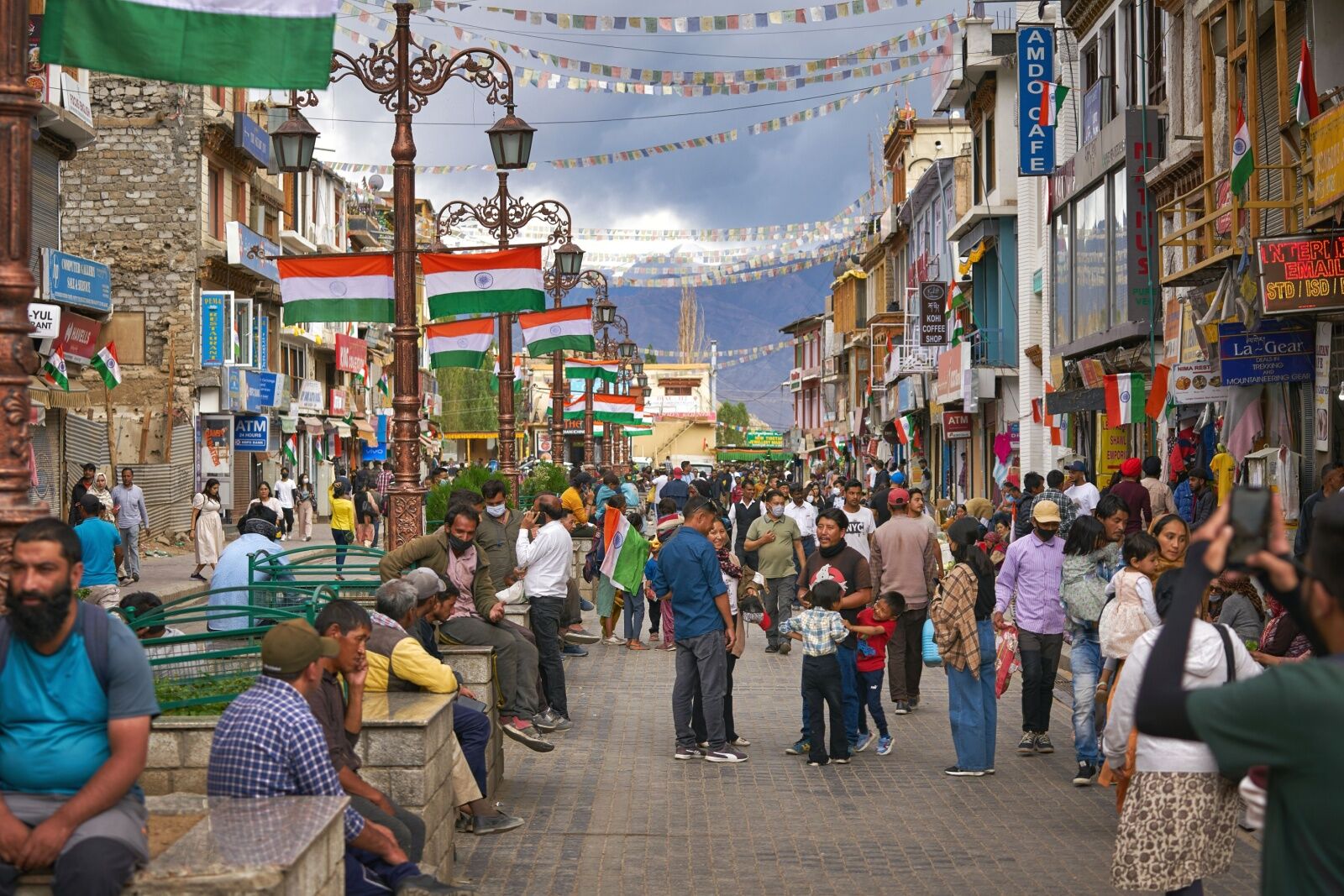
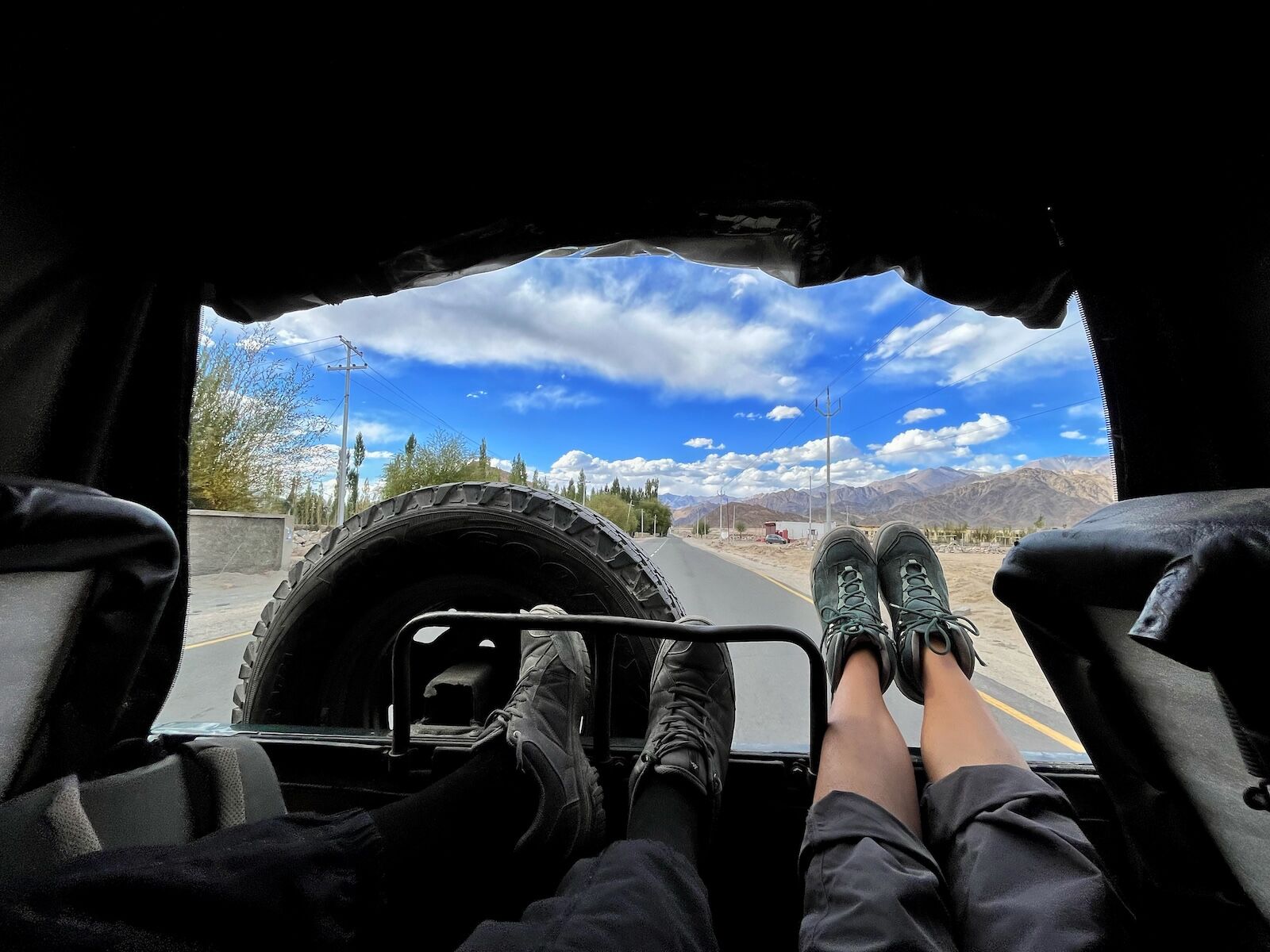
Around 3 PM on September 14, we squeezed into Pranav’s two-door SUV, ready for the adventure about to unfold. From Leh, the largest city in Ladakh, we drove two hours to Rumtse, a village at 13,400ish feet above seat level. Our evening in Rumtse was spent sipping ginger-lemon-honey tea — something recommended to mitigate the effects of altitude — going on a short acclimatization walk, and debating the ideal time to start hiking in the morning. After dinner, we crammed into a single room where six mattresses were sat side by side. The space buzzed with our high-pitched chatter, which soon faded into muffled giggling as we tried to get some sleep.

Three alarms went off at 3 AM. I hadn’t slept much anyway, so I was relieved to get up. After futile attempts at emptying our bowels, we double-checked our gear: water, food, headlamps, hiking poles, traction devices, sunglasses, sunscreen, altimeters, warm layers, and cameras. There was no room for error. We piled back into the SUV, and made the roughly 40-minute drive to the trailhead.

Our first steps toward the summit


UT Kangri II himalayan summit - homestay

We left our homestay bright and early to be on the trail before sunrise. Photo: Tarang Mohnot

By 4:30 AM, we stood at the trailhead, at an elevation of 15,072 feet above sea level. The sky was mostly clear, stars sparkling like someone splashed diamonds scattered across it. We began hiking, keeping three key rules in mind: stay steady rather than fast, speak up if anyone felt breathless, and drink water periodically, even if we didn’t feel thirsty.

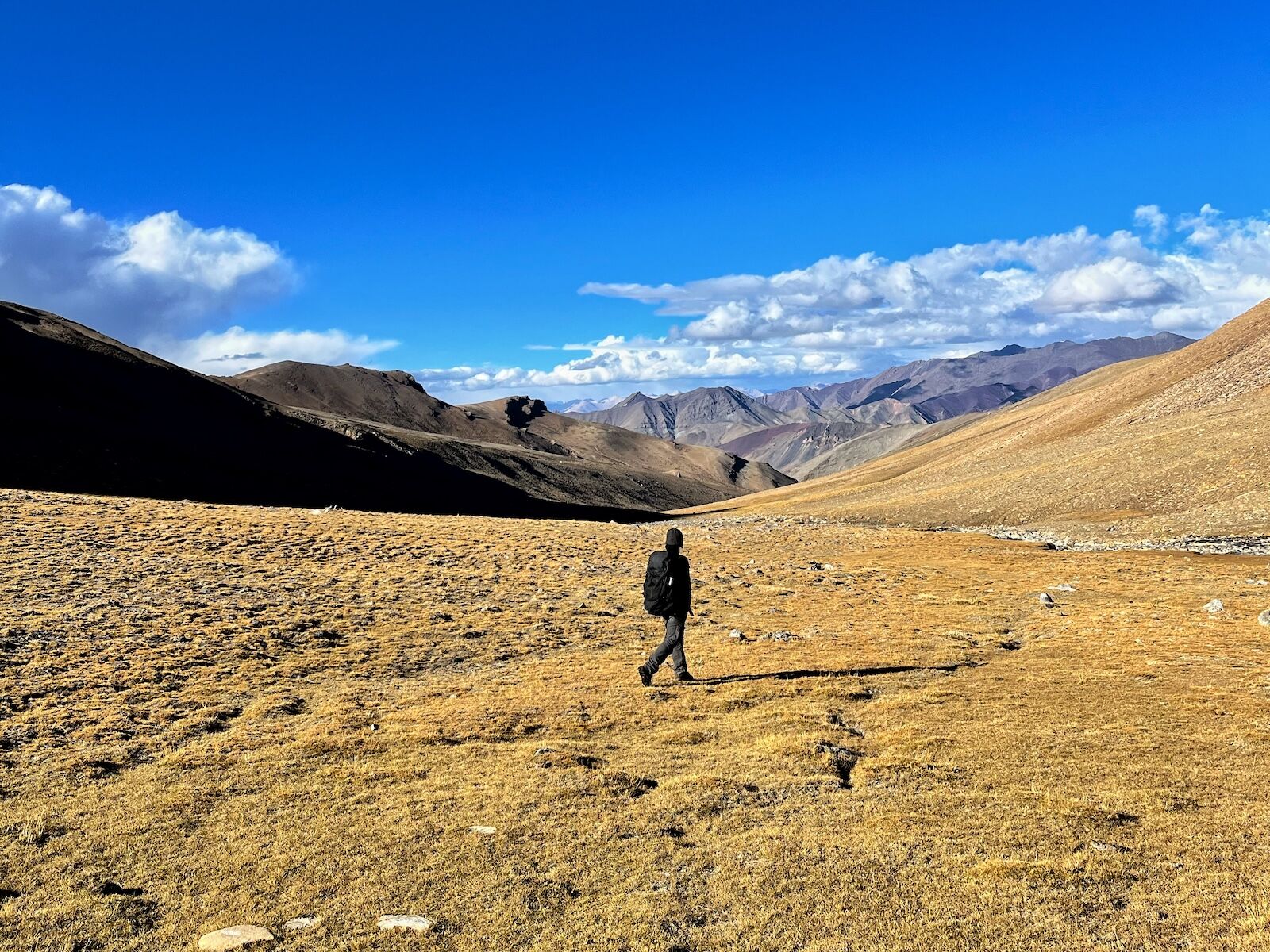
The first 2.5 miles were a breeze. A few clouds hovered over distant peaks, which concerned Deepak, who had made this exact trek before. But our pace was great, and spirits were high as dawn lit up the surrounding peaks in crisp, golden light. We all felt a boost of energy when the summit came into view, looking as majestic as we’d hoped. After two hours, we plopped down about half a mile before the basecamp used by overnight hikers, snacking on the aloo parathas (Indian flatbreads stuffed with spiced potato) our homestay owners from the night before had packed for us.

Soon, tiny, perfectly hexagonal snowflakes began falling, sending us back to a childlike sense of happiness. Unfortunately, we paid little attention to the peak we were to climb, which now stood against a backdrop of brooding clouds.

A struggle for breath – and confidence


UT Kangri II himalayan summit - morning on trail

The hiking started well, but the weather soon took a turn. Photo: Shumzin Wangmo

By about 16,400 feet above sea level (about 5,000 meters), I found myself struggling, noticing that the combination of high altitude and low oxygen was catching up to me. “Take a set number of steps before resting, find a rhythm, and breathe as you go,” seasoned UT Kangri II hiker Deepak advised me.

While I appreciated the help, at that moment, I just wanted to be teleported to the summit, and questioned why I thought I could speed-hike to the summit when I’d never been this high. Before UT Kangri II, the only place where I’d spent more than a few days hiking at a high elevation was in India’s Spiti Valley, where I worked on a wildlife documentary at elevations of about 13,800 feet above sea level. And UT Kangri II was another 6,000 feet higher than that.

Somehow, I pushed through, and by 9:30 AM, we reached the final stretch of the trek: a 45-degree ascent along a steep glacier that gained 1,300 feet of elevation. It was the section for which we’d rented traction devices (also called crampons) back in Leh. Deepak ran us through the basics of using them: how to strap them to our boots, tucking in all the straps, and making sure they were tight, showing us how to move with flat feet to take short, wide steps.

Icy trails and close calls


UT Kangri II himalayan summit - hiking on glacier

The hike using traction devices across a glacier was the most challenging section of trail. Photo: Tarang Mohnot

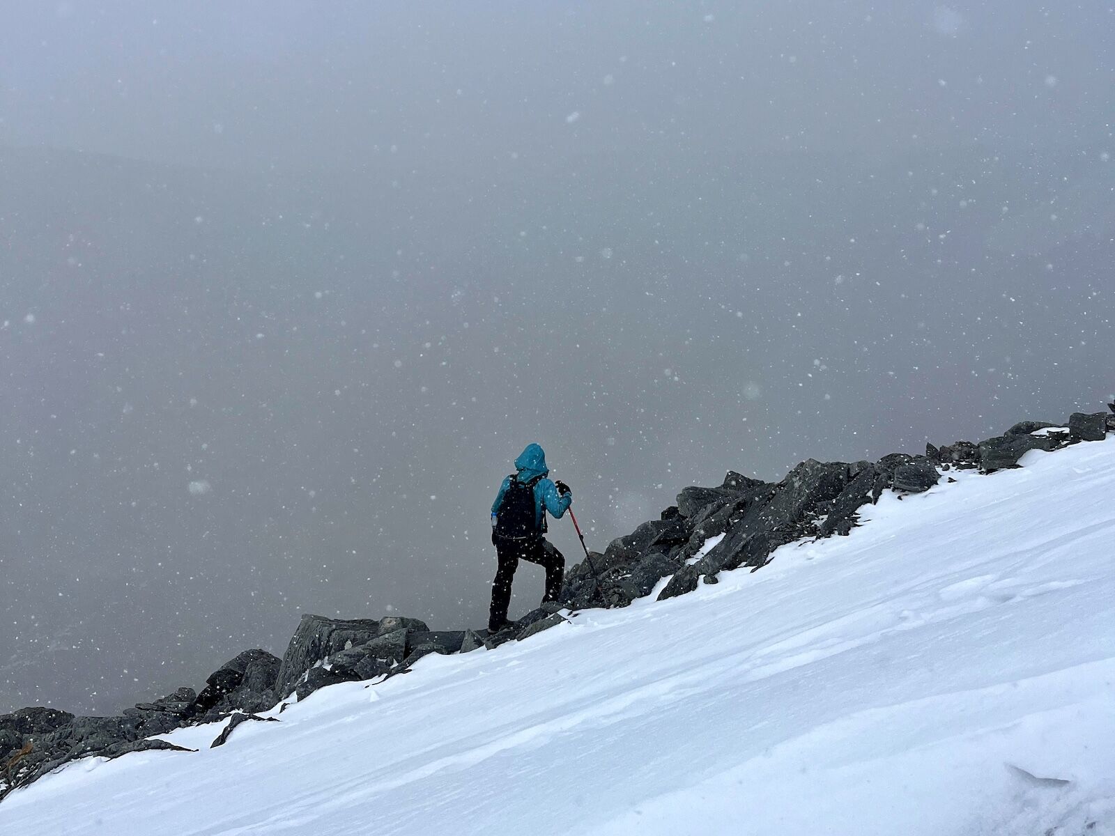
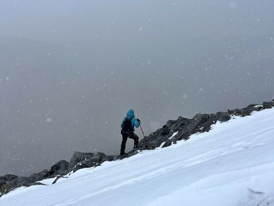
As we started the glacier section, it was clear this would be the real test. The snowfall had created near-whiteout conditions, but Vibhu, who had summited several equally tall peaks in the days before our trip, reassured us we’d be fine if our gear and stamina held up. My nervous mind raced with “what ifs” as my extremities turned to popsicles, and I gave thanks for the warm layers and clothing I did have. I was hopeful that the clouds would clear and give us a glimpse of the forecasted sun.

Taking my first crampon-supported steps on the ice, I felt like I suddenly had superpowers, with my secure steps gripping the ice better than expected – and creating an oddly satisfying crunch with every step.

But it was cold, and the thin air was taxing on our lungs and leg muscles. Snow collected in my hair, at the nape of my neck, and on my eyelashes. We knew the summit was just under 1,000 feet away, but each fatiguing step made it feel even farther. We settled into a rhythm as a group: twenty steps, then a break. Repeat.

scree field on ut kangri ii

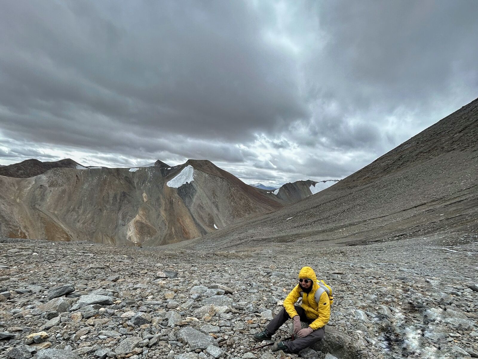
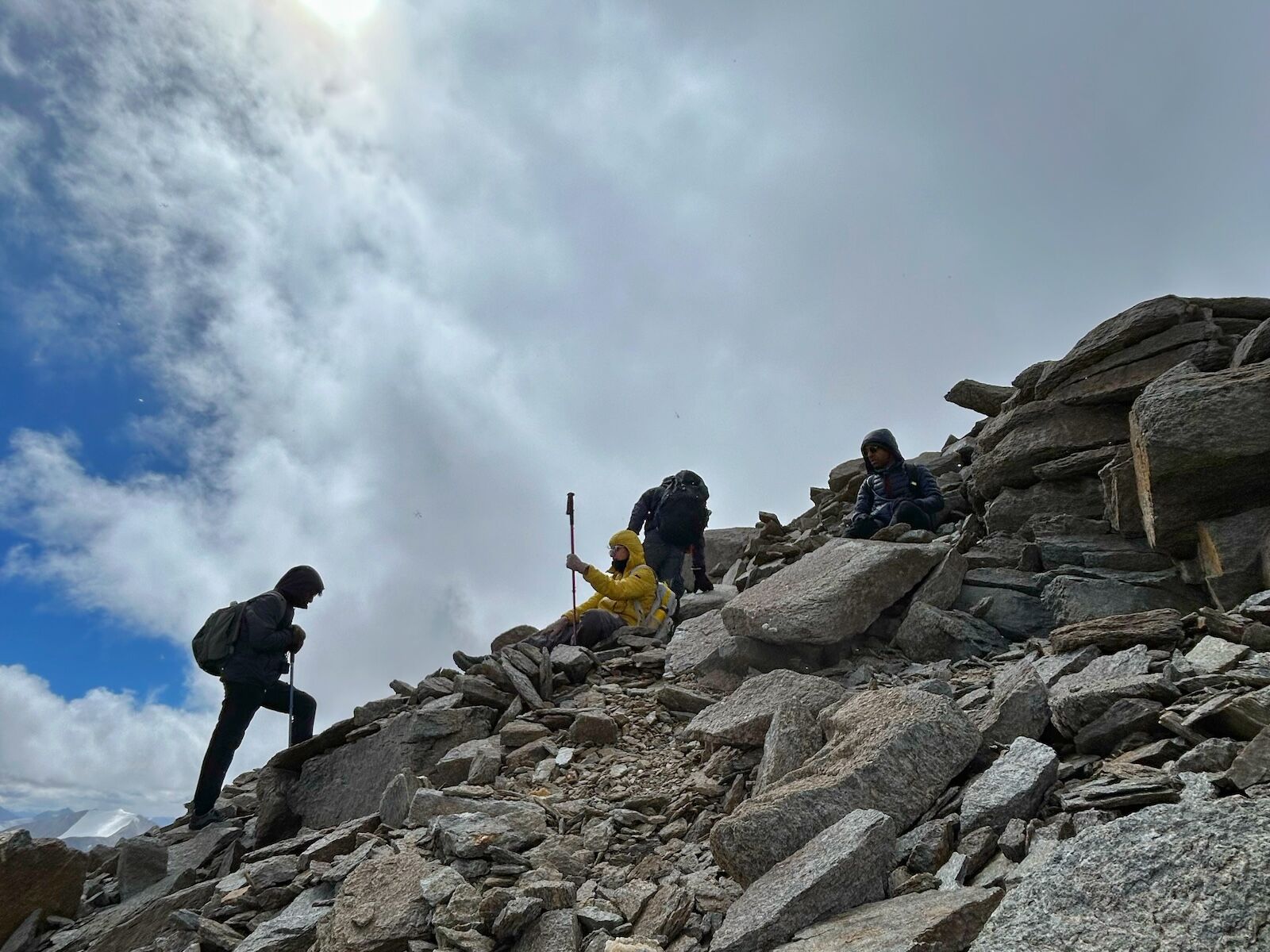
The group switched to hiking up an alternate route on a scree field, rather than continuing on the glacier. Photo: Shumzin Wangmo

Minutes later, the routine was broken: Pranav lost his balance and slipped down the glacier. “Somebody stop me!” he yelled, reaching for anything to grab. Fortunately, his slide ended after about 150 feet, coming to a stop against a slightly raised area on the slope. He was unhurt but shaken, and so was I. It made me realize how dangerous one small mistake could cause – in his case, leaning too far forward while trying to sit, which shifted his weight downslope. Once he rejoined us, we decided to take off our crampons and veer off the icy section, opting to hike the rest of the way along a scree field (section of loose rocks and gravel), rather than continuing on the glacier.

But then, even off the ice, it happened again: I slipped on a loose rock, slamming my knee into another. The pain shot through me, but I tested if I could put some weight back on it, then kept going.

The final ascent


UT Kangri II himalayan summit - group at top

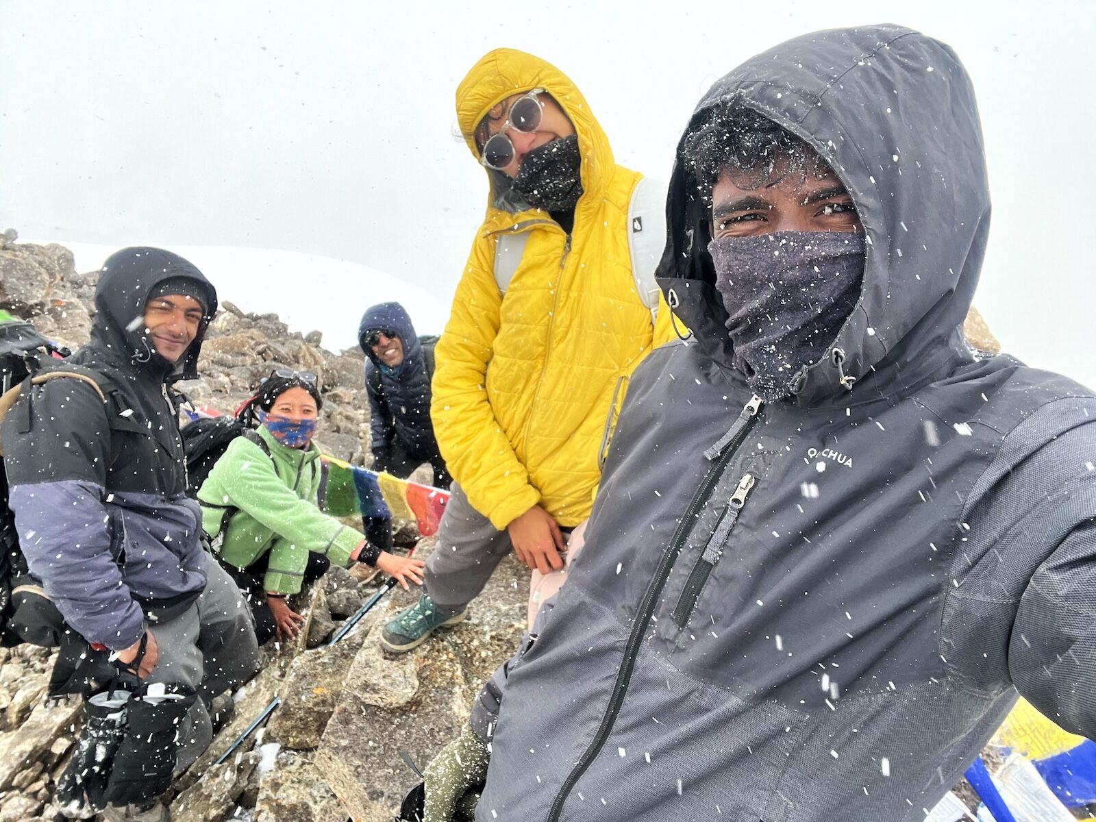
The author and her hiking companions at the top of UT Kangri II. Photo: Tarang Mohnot

We summited at 12:28 PM, after an eight-hour hike and elevation gain of 4,600 feet, all in the worst weather possible. At the top, the six of us hugged, unable to grasp what we’d just achieved to get there. I felt strong – even invincible. I joked about how, just a month ago, I’d been so depressed I almost canceled this trip. But standing on the summit of UT Kangri II, I couldn’t understand how I’d ever considered scrapping it. The world felt wide open and full of possibilities, and I was right there in the center of it.

Soon, the snowfall eased. I was crying, overwhelmed with a mix of pain, pride, euphoria, and disbelief. Looking up, I saw two of my crewmates crying too, and it hit me how adventures like these really show us who we are. There’s simply no room for masking. It’s both humbling and freeing, and partly why I enjoy extreme adventures. Perhaps it’s my version of the current viral trend of “rawdogging” travel.

We took one mandatory group picture, and tied prayer flags on the peak. But before long, blizzard-like conditions started to once again take hold, and Pranav began showing signs of AMS (Acute Mountain Sickness, or altitude sickness), such as a pounding headache and dizziness. We started descending immediately.

The UT Kangri II descent


clear skies while hiking in india

Clear skies returned by the end of our hike. Photo: Tarang Mohnot

For the next three hours, the snowfall was relentless. It was black and white as far as the eye could see. Some might say it resembled Iceland or Finland, but to me, it looked unmistakably like what I expect in the far-north parts of India, especially Ladakh: raw, barren, chilling. My lips were chapped and my knees in excruciating pain, but occasionally, moments of awe still found their way through – like when I stopped to pee and giggled at the steam rising off the cold, snowy rocks. Or when the wind whipped up tiny snow tornadoes.

By the time we reached basecamp, the weather had cleared. Blue skies dominated, and the sunshine warmed our cold, weary bodies. The surrounding mountains came back into view, showing peaks dusted with fresh snow. Pranav’s AMS symptoms improved, and we finally had an easy stretch of trail.

I slipped on my headphones, letting Led Zeppelin power my pace. Every so often, I’d glance back at the summit, still amazed at how far we’d come. I’d like to believe this difficult climb was meant to reveal to me my own strength, but maybe that’s just me trying to make sense of the whirlwind of a day. By 6 PM, we were back to where we started. It had been just over 14 hours, but it felt like a whole month had passed.

What I’d do differently


ut kangri ii hike - leh

The writer spent plenty of time before the trek in high-elevation Leh, India. Photo: Vladimir Zhoga/Shutterstock

I knew this would be a day I’d write about endlessly in my journals, and in my professional work as a writer. Despite the tough conditions, I’m proud of how we handled things, and supported each other as a team. That said, we definitely should’ve carried ice axes, which could have helped with self-arrest on the glacier. And I wish we had paid more attention to the weather — not necessarily because we would have turned around, but because the snow and cold took us a bit by surprise, given the forecast.

If you’re ever planning a hike in the Himalayas, especially above 10,000 feet, here are a few tips to keep in mind:

  • Respect the mountains (and their ability to challenge even the best-laid plans). Always prepare for the worst-case scenario. For example, I packed a pair of bottom thermals (a base layer), despite being convinced I wouldn’t need them. But when the snow came, I was glad I had them.
  • Know your limits. There’s a fine line between pushing yourself and pushing yourself too far. I’ve spent significant time living and hiking at high altitudes, so attempting UT Kangri II as a speed hike wasn’t too far out of my comfort zone.
  • Acclimatize well. This can’t be overstated. At the time of the trek, I’d already spent 20 days in Ladakh, and we slept in Rumtse at more than 13,000 feet above sea level. Bring the right medications (asking your doctor to prescribe Diamox may be a good idea), and drink plenty of water. If you experience symptoms like dizziness or confusion, descend immediately.
  • Go with a team you trust. While we were self-guided, two of our team members had extensive mountaineering experience. If it’s your first time, always hike with a local guide.
  • Check the weather. Frequently. It’s ironic I say this after our experience, but checking the weather apps is still wise. Yes, the mountains can surprise you, but there are plenty of times I’ve been thankful I checked in advance.

Discover Matador

Save Bookmark

We use cookies for analytics tracking and advertising from our partners.

For more information read our privacy policy.