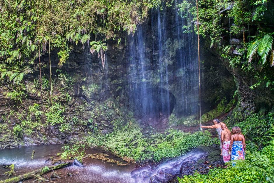
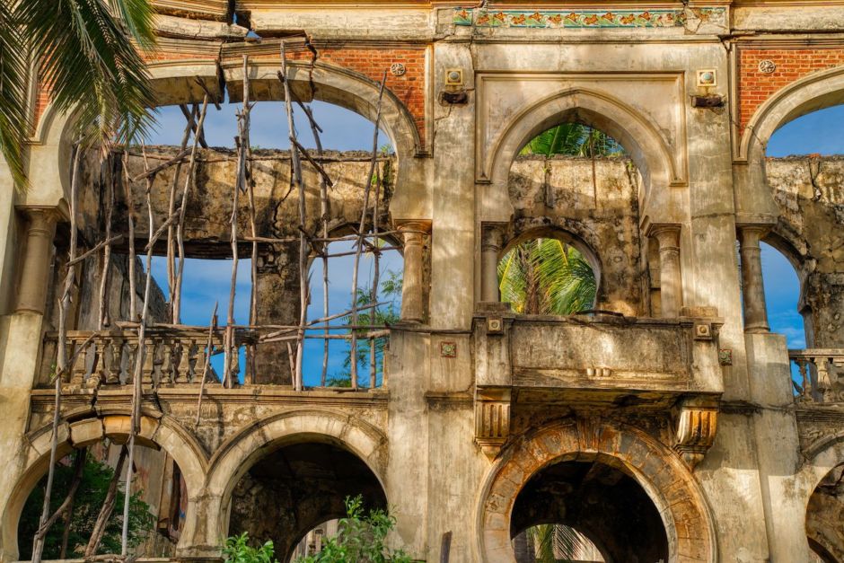
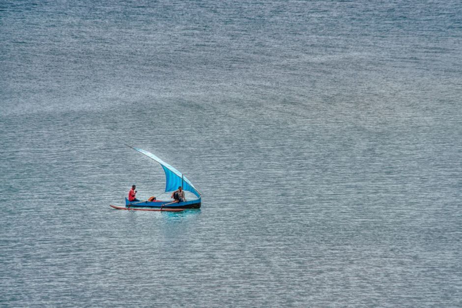
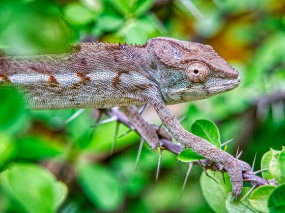
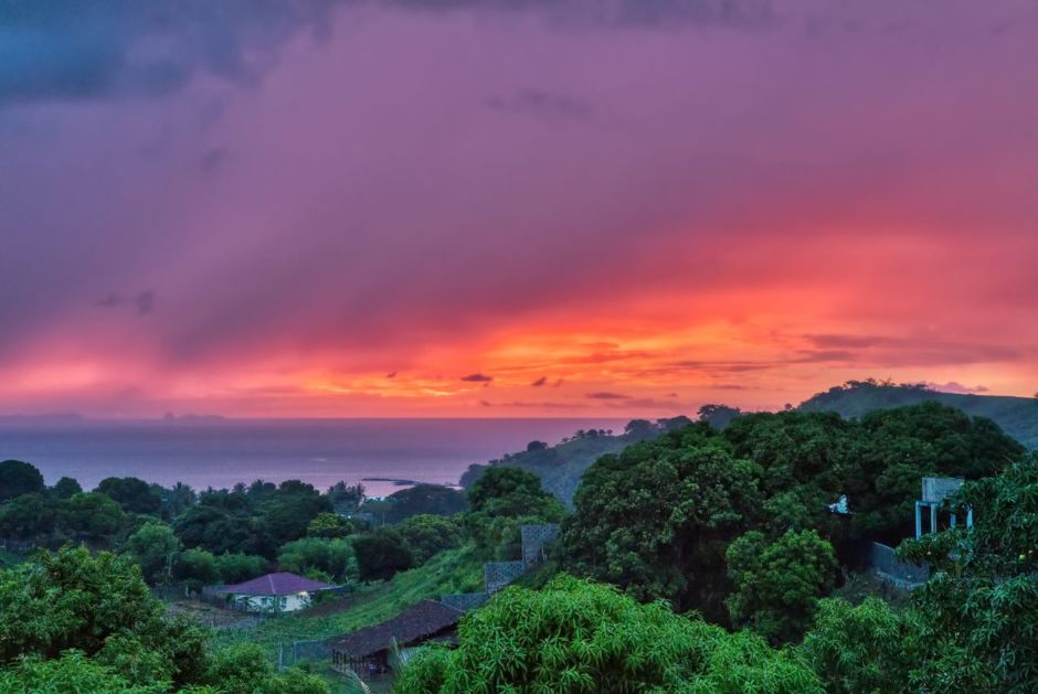
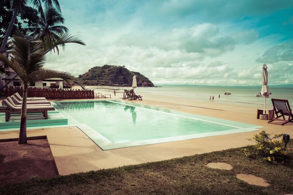
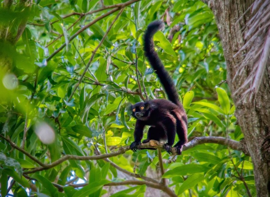
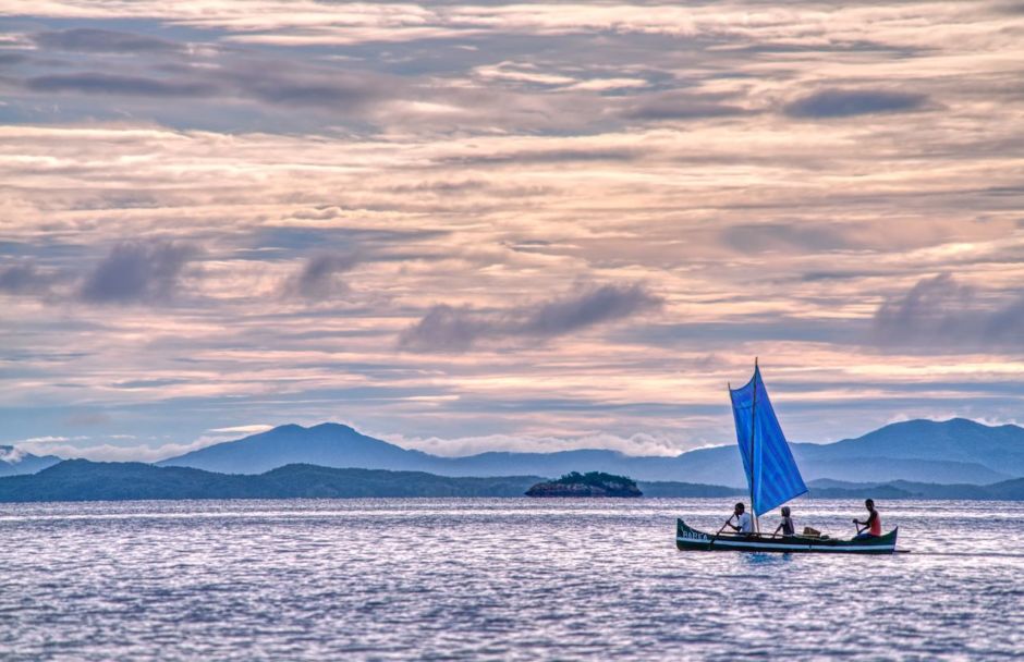
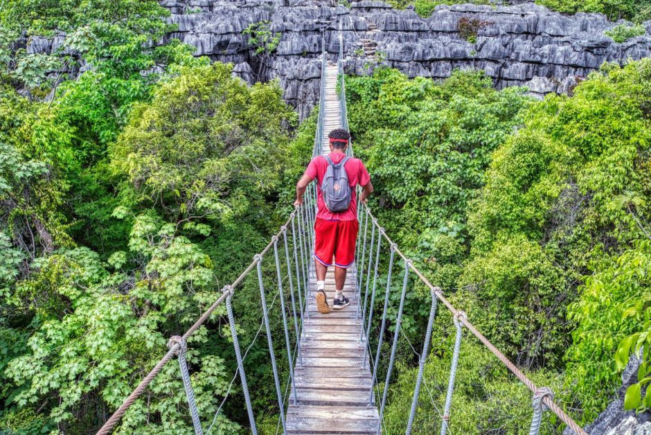
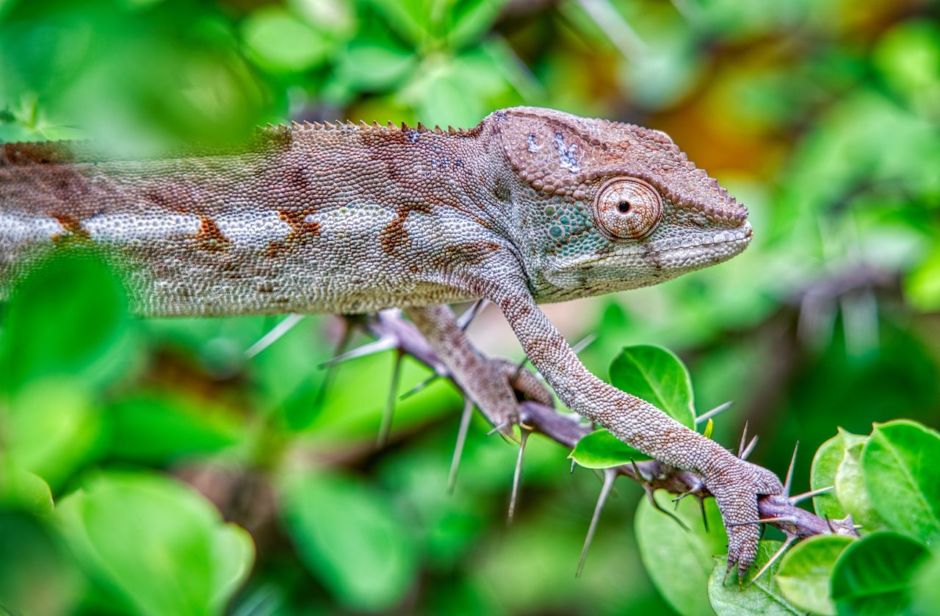
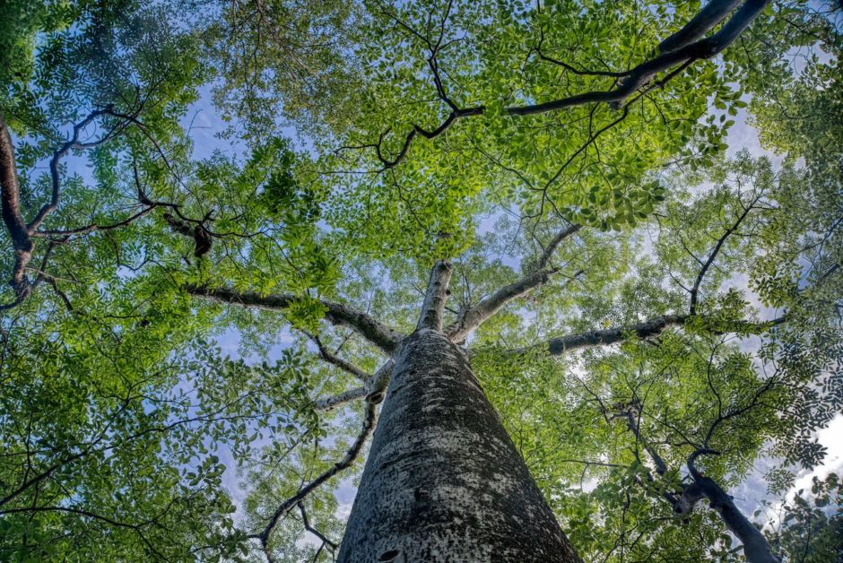
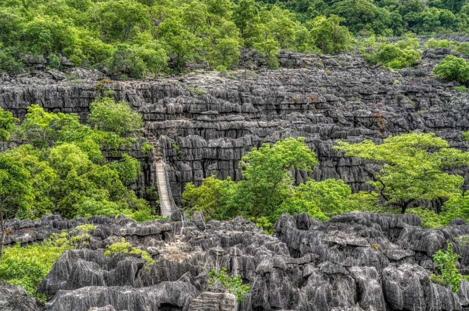
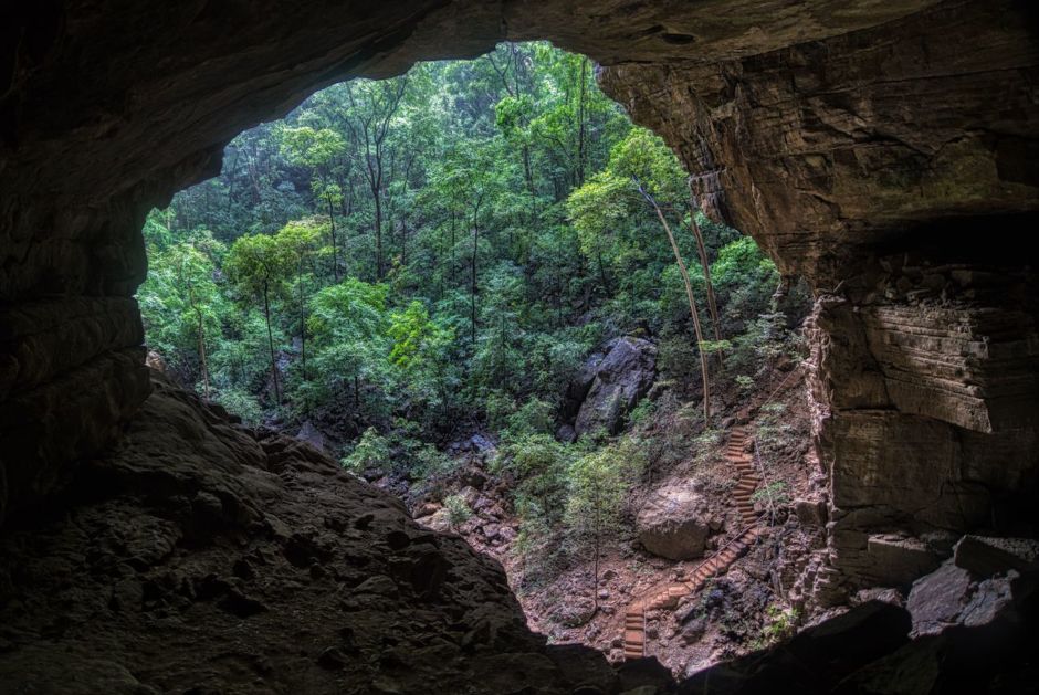
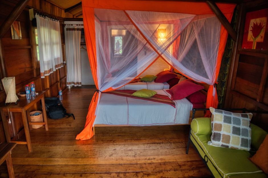
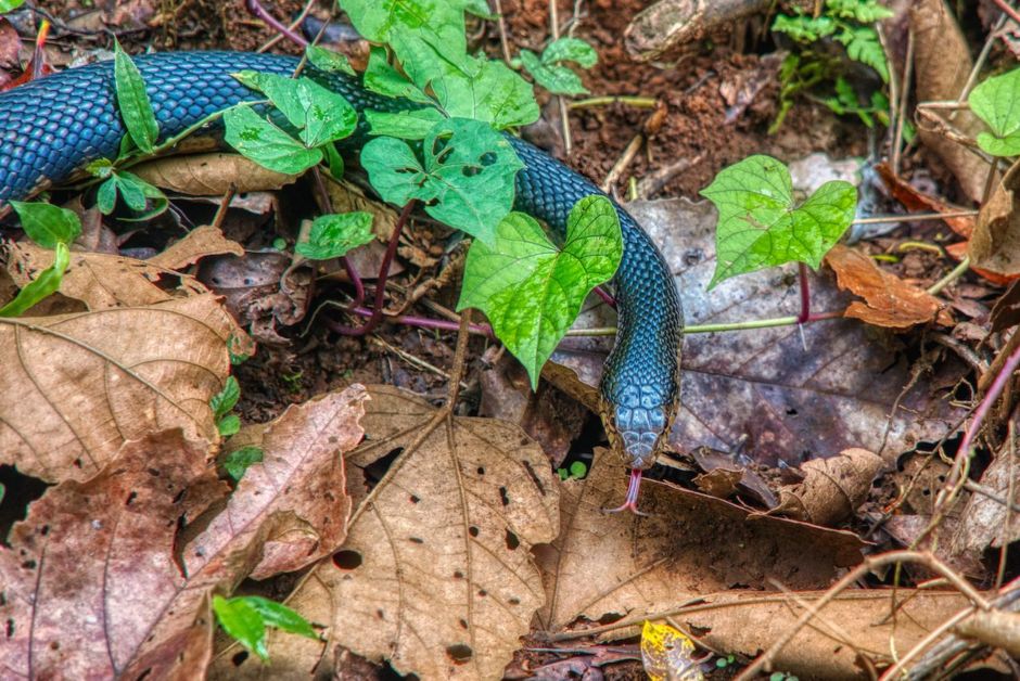
In December, my family and I took a trip across northern Madagascar, the world’s second-largest island country after Indonesia and home to diverse animal species found nowhere else on the planet. The country is made up of the main island of Madagascar, the world’s fourth-largest island, and several smaller islands. We started on the island of Nosy Be, off the coast of the main island, and ended at the main island’s northern port city of Antsiranana, visiting three national parks along the way. Below are my favorite photos from our journey to this beautiful, wild island.

1

Our first stop was the island of Nosy Be, located northwest of the main island of Madagascar. Our first night, we saw this sunset along the coast with the main island of Madagascar visible in the distance. Nosy Be, which means "big island," has an international airport, secluded beaches, tropical resorts, and Lokobe National Park, which is home to several species of lemurs, the country's famous endemic primates.

2

This is a hotel pool on Palm Beach, on the west coast of Nosy Be. Nosy Be has become a resort destination for Europeans, with lodging ranging from luxury hotels to small hostels and private home rentals. Even so, many of the beaches are secluded and undeveloped.

3

From the coast, we went to Lokobe National Park where we saw this male black lemur. Madagascar split from the African and Indian landmasses almost 100 million years ago, allowing its plants and animals to evolve in isolation. About 90 percent of Madagascar's species are unique to the island, including the lemur, a small primate. There are more than 100 subspecies of lemur.

4

The next day, we took an early morning, 90-minute ferry from Nosy Be to the Madagascar mainland. Photographed from the ferry, this pirogue is sailing the straits between Nosy Be and Madagascar. In Madagascar, pirogues - hand-crafted canoes made by hollowing a single tree trunk - typically also have outriggers and are powered both by paddles and sails. Upon arriving on the main island, we drove about six hours to Ankarana National Park along Madagascar’s north-south highway, a rutted dirt road where it was often hard to travel more than 10-15 miles per hour.

5

We spent the next three days at Ankarana National Park. In the park, this is a bridge across the tsingy. In the native language Malagasy, tsingy literally means "where one cannot walk barefoot" and is used to refer to the sharp, needle-like karst limestone formations that can be found in several places on the island, including in Ankarana park. Ankarana is also known for having one of the highest densities of primates of any forest in the world.

6

This chameleon navigates a thorny plant in Ankara National Park. Madagascar is home to about half of the world's 150 species of chameleons, animals famous for their ability to dramatically change colors. They also have bulging eyes that can move independently, providing them almost 360-degree vision, an advantage as they hunt for insect prey in the forest.

7

We look up at a baobab tree in Ankarana National Park. A baobab tree can store up to 32,000 gallons of water in its trunk, which allows the tree to survive in drought conditions. There are six species of baobab trees native to Madagascar. Recently, baobabs across southern Africa have begun to die off as rainfall patterns have changed due to climate change.

8

Trails in Ankarana National park lead across the tsingy canyons. The sharp tsingy rocks are formed when water combines with limestone (calcium carbonate) to form a weak acid, which eats away at the limestone to form peaks and cavities.

9

09

We look out from the Cave of the Bats in Ankarana National Park, where 220 steps lead down to the entrance of this spacious cave. The park has over a dozen species of bats, and the cave is home to several of those species, including large fruit bats.

10

After three days in Ankarana, we spent a day and night at Amber Mountain, staying in the Nature Lodge there just outside the entrance to the Amber Mountain National Park. Located in northern Madagascar near the city of Antsiranana, Amber Mountain is one of the most biologically diverse areas of Madagascar. It sits at 5,000 feet above sea level, offering a cool respite from the heat of the surrounding lowlands.

11

A snake crawls along the forest floor in Amber Mountain National Park. The park is home to 59 species of reptiles and 25 species of mammals.

12

Along with wildlife, Amber Mountain is known for its lakes and waterfalls. The local people travel to the Cascade Sacrée, or Sacred Waterfall, to drink the water and leave offerings for their ancestors.

13

From Amber Mountain, it is about a two-hour drive to Antsiranana, a lovely port town on the northern tip of Madagascar known for its large deep-water bay. Antsiranana - a city of 100,000 that’s also known as Madagascar’s "northern capital" - was named Diego Suarez prior to 1975 and is still called that by many locals. In 1885, after the French overthrew the ruling Madagascar monarchy, this area became a French colony; France established rule over the entire island in 1896 until Madagascar’s independence in 1960. Here is an abandoned hotel facade dating to the colonial period.

14

A pirogue sails on Antsiranana Bay, one of the largest harbors in the Indian Ocean. It is accessible by road and airport to the rest of the country. After two nights in Antsiranana, we flew back to Nosy Be, our starting point, for our international flight back home. The alternative, taking a highway back down south, would have been at least a 12-hour drive and was impossible anyway - since the road had washed out during a rainstorm a month earlier.