THE SOUTHEAST ROUTE to Mount Columbia leads you through pine forests and towards an extensively easy to navigate ridgeline. This is a solid 12-miles round trip that will take you up to the summit. Once at the top, the view consists of snow contoured peaks for miles all around you. Just the perfect backdrop for some summit beers and the chance to say you’ve summitted a 14,000 feet peak.
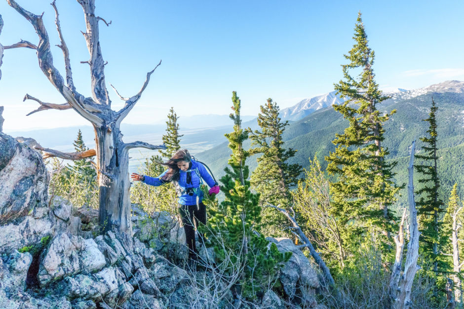
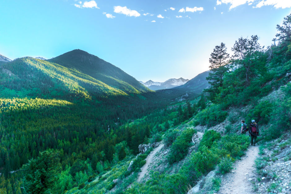
Early morning light warms my friend Kit on his way to the summit. After branching off the Colorado trail, the southeast ridge trail of Columbia meanders just along the ridge center through a pine forest. You emerge several times on chunks of protruding rock, giving you a chance to feel a cold bite of wind and view the incredible valley being lit by the rising sun.
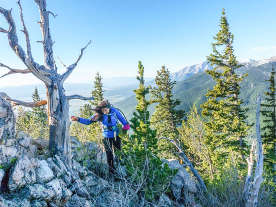
When on a 14er, you might need to pull out your Lewis and Clark skills to find the route. Different than just going off trail, route finding is necessary when the trail is too faint to follow, doesn’t have a direct path from one cairn to the next, or when debris like dead trees or boulders are all over the place. In the image above, Brea navigates a section of rock where a little bit of choosing your own adventure is required to get to the defined trail further up. While route finding is sometimes necessary, it is vital to stay on trail whenever possible to help prevent erosion, protect the surrounding ecosystem, and lower the risk of becoming lost.
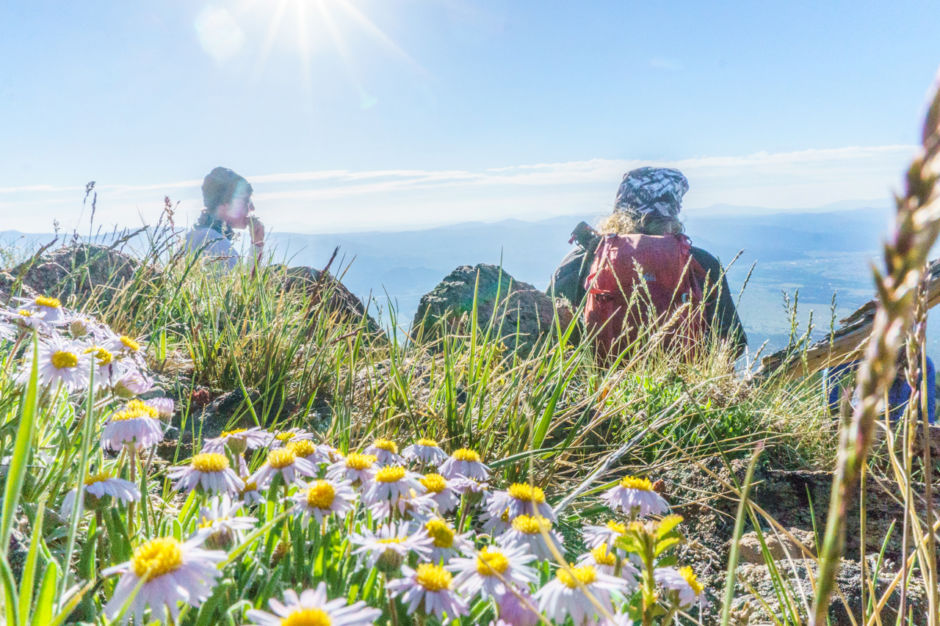
We take a rest on a sparsely vegetated incline before reaching tree line and discuss the trail ahead. After researching our route, we know the direction is obvious though the actual path is fairly faint. Researching your route is necessary for plenty of reasons, and as we make our way onward we are happy we did. A grassy ridge with rocky outcroppings comes into view but based on our research, we know we have to stay to the left to avoid unnecessary elevation gain and save our sore muscles extra effort.
Intermission
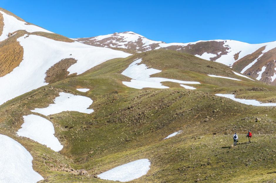
Dwarfed by the alpine hills that stand before us, we move onward toward our peak which is finally visible. Although the summit will be within sight for the rest of the hike, we’ve gotten only partial views of the rolling ridge the route is named for. As we work our way further into the alpine tundra, muscles begin to ache and rapidly changing temperatures require the never-ending game of shedding, zipping, packing, and pulling out layers faster than the handsome little marmots popping in and out of the boulders around us.
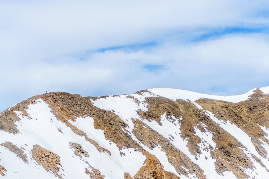
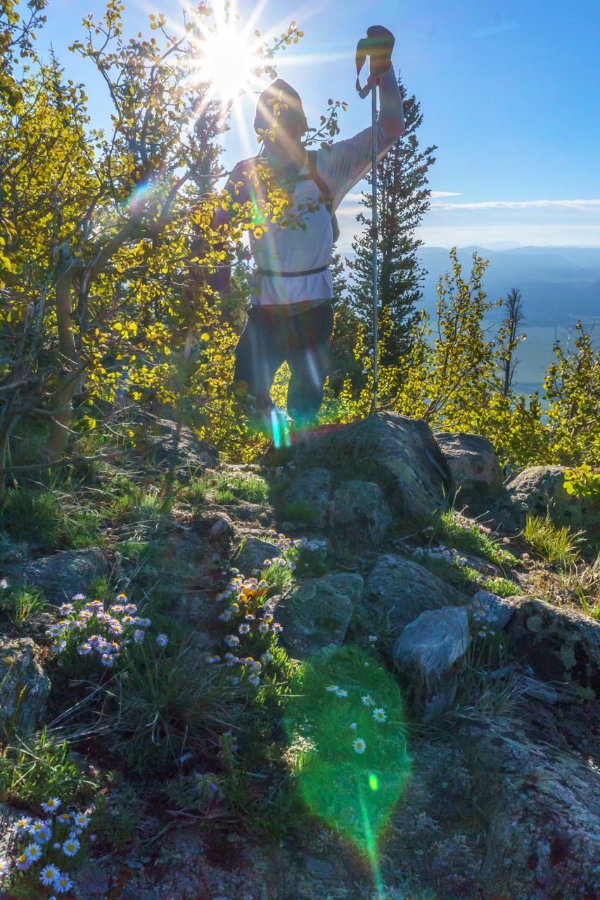
While enjoying a snack break and attempting to slow our heavy breathing, a trail runner carrying nothing but a small pack of water on his back stopped briefly to exchange pleasantries and converse on the beauty of the morning. As swiftly as he stopped he was back on his way. Not long after, we saw a tiny spec bouncing along the undulating ridgeline toward the summit.
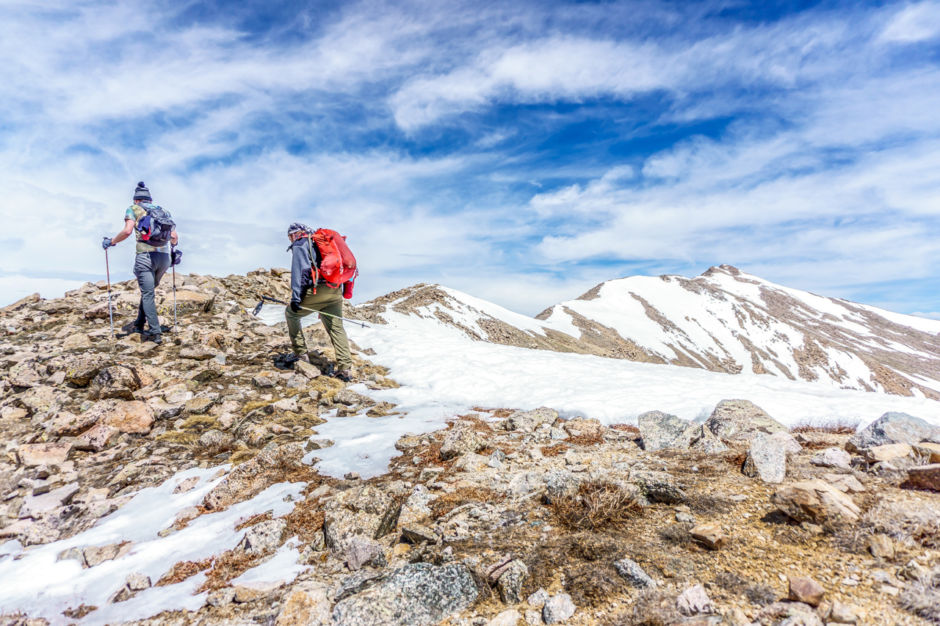
After a final push and post-holing just a bit, the entire southeast ridge comes into view. From a distance, it doesn’t look like much more than a stroll, but then you recognize how tiny this mountain makes you feel. Creating both distance and time between us and tree line, we travel the route with one eye on the clouds. While traveling the southeast ridge route it is important to note the time it takes you to get back to the tree line in case of afternoon storms. If returning isn’t an option, you might want to drop into the Horn Fork Basin and head to the nearby Cottonwood Creek Trailhead, a quicker route to safety.
The alpine tundra is a unique ecosystem that typically starts around 11,000 feet. For a variety of reasons ranging from high winds to low carbon dioxide, organisms such as trees cannot survive in this high altitude. When it comes to hiking in the alpine, the views you get off the mountain are beautiful - but we made sure to pay close attention to where we were placing each step on our trek. The alpine tundra is an extremely delicate ecosystem and it is important to always stay on trail and leave no trace.
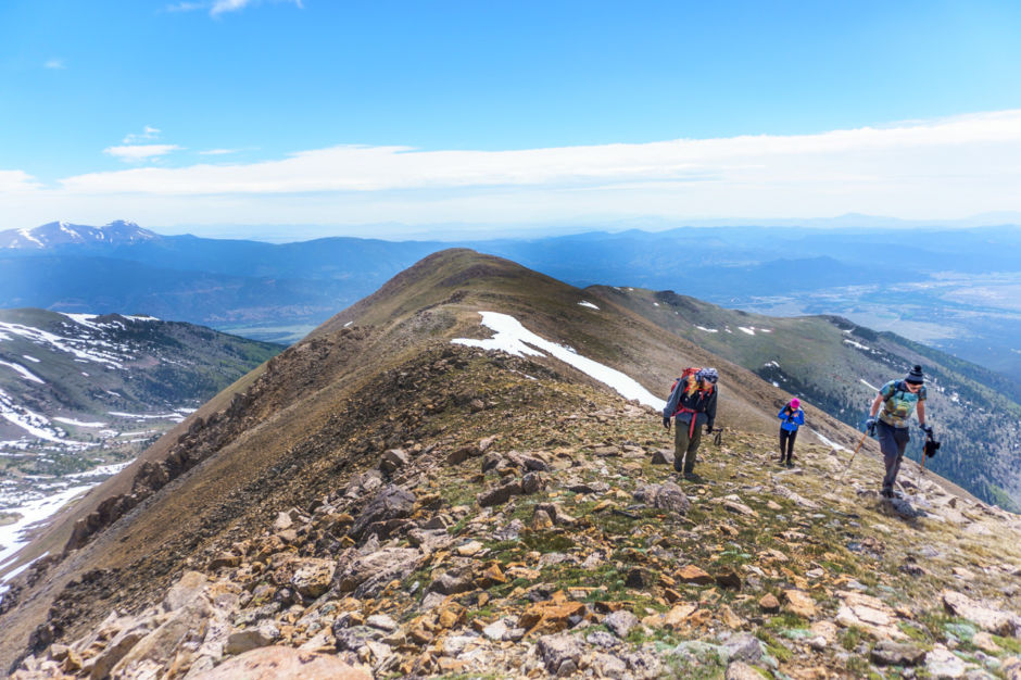
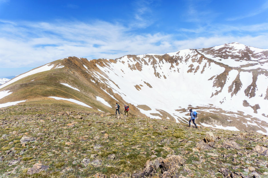
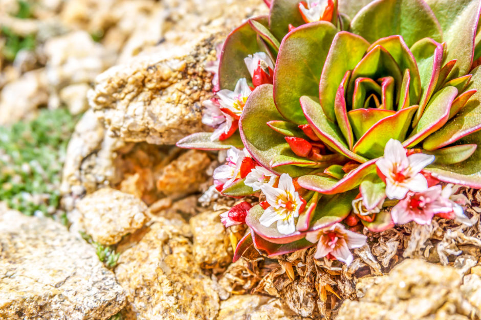
After hiking up to the rocky ridgeline, now only speckled with alpine flowers and small critters, the remaining path to the peak of Mt. Columbia is fairly clear. With only a few clouds in the sky, plenty of water, muscles sore and way too many snacks, Ian, Brea, and Kit make their way along the southeast ridge to our summit.
After 30 minutes of clambering up loose rock and over boulders, we realize how tiny we are compared to the waving ridgeline. With 14 and 13,000 foot peaks to our left and the sweeping valley to our right, we take care in our steps but also make sure to take in the beauty we are lucky enough to be hiking through.
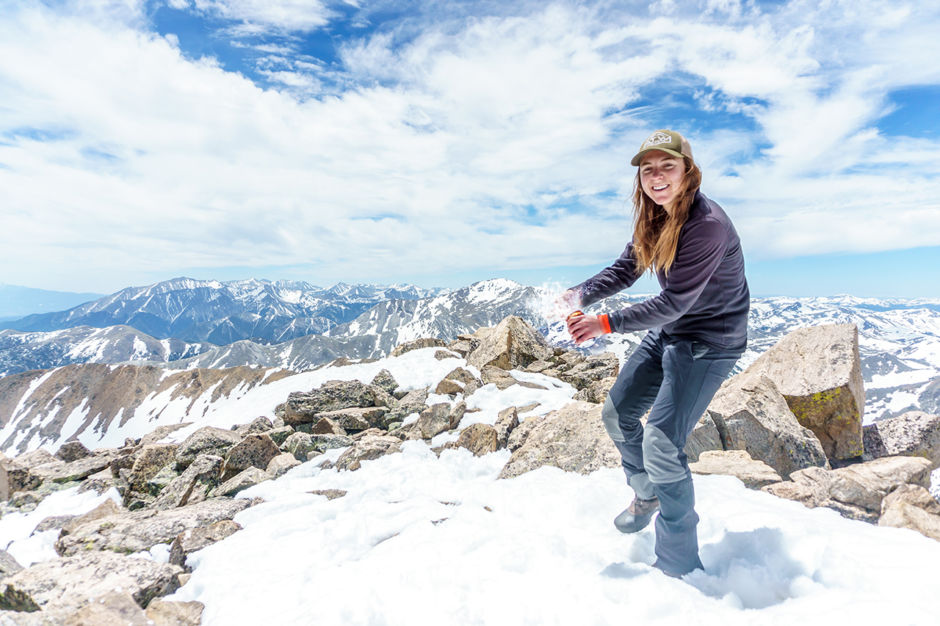
With a final burst of energy, we shoot to the top. We share our peak with summit beer explosions and a burly little marmot who curiously stalks us looking for handouts. I don’t normally post photos of myself, but my first time at 14,000 feet in 2017 and 14er #20 definitely calls for an exception.
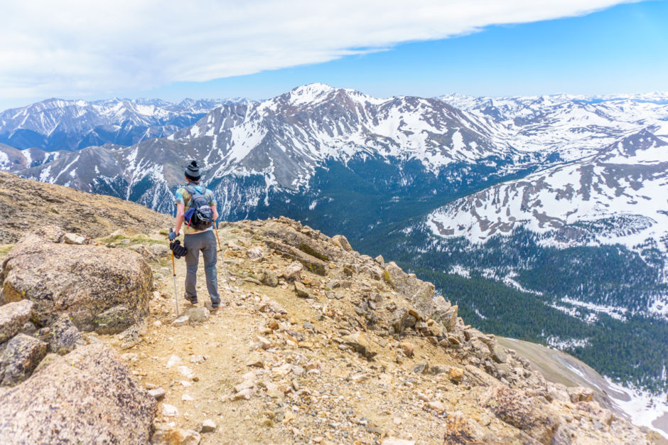
As if beginning a new journey, we leave the summit with happy bellies and new views ahead of us.
After a long day, we dip back below tree line watching as the last light of day casts a pearly shade over the surrounding hilltops. After an ankle injury, a gentle glissade complete with cold butts, so many marmots, and views that words cannot describe, we near the car with another 14er bagged. Our hearts are full of adventure, and our eyelids want nothing more than to close in the passenger seat of the old Chevy Tracker.