A bird's eye view of New York, circa 1875. Photo from The Big Map Blog.

The World's Coolest Maps, All in One Place

by Jason Wire Dec 21, 2011
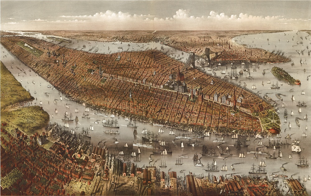
There’s something about old maps that just gets me all…mappy.

Yeah, mappy. You know what I’m talking about.

When faced with a big, wall-sized map (or even a small one), it’s impossible not to look at it and start dissecting the ins and outs of the city layout. It’s like being shown a picture of Jim Morrison and trying to think of anything else but the words “tragic badass.” Doesn’t happen.

So when I came across this brand new site–The Big Map Blog–it was pretty tough not to start perusing the long list of decades and centuries-old maps with the curious gaze of a long-bearded cartographer.

Basically, a map-loving filmmaker started realizing that those who control access to cool maps like the ones below are doing a bad job of making them publicly available.

I found thousands of old, beautiful maps that are sadly being kept from the public that deserves them — sometimes by clumsy or unwieldy government FTP sites, or by archives with steep fees for research, and steeper fees for reproduction.

I felt strongly that something should be done about this…[so] that’s what this website is about: enormous maps, file access, and if I can bang out a couple of paragraphs without sounding like an ass, then all the better.

I've never even wanted to visit Milwaukee...until now. Map courtesy of The Big Map Blog.

Unlike the Google Earth and Maps we so frequently turn to today, these maps aren’t just about providing navigational assistance. They’re painstakingly beautiful works of art, time capsules of bygone eras that offer only a shadow of the past–there is no photo of 14th century Europe–but in that shadow, we somehow feel a closer connection to life “back then” than the most high-definition aerial photograph of the maps we use today.

There are maps of Milwaukee, New York, and California, but also of the Grand Canyon and lesser-known rivers and of city-specific Chinatowns. I’ve never come across a more extensive collection of easily-accessible, high-definition, zoom-able antique maps of incredibly interesting places and things.

World War I Map of the Expeditionary Force, 1932. Map courtesy of The Big Map Blog.

There I go again, getting all mappy.

Discover Matador