Photo: Ryan C Slimak/Shutterstock

6 Beautiful Urban Trails That Prove Washington State Was Made for Hiking

Washington Outdoor Hiking
by Brandon Fralic Jun 28, 2021

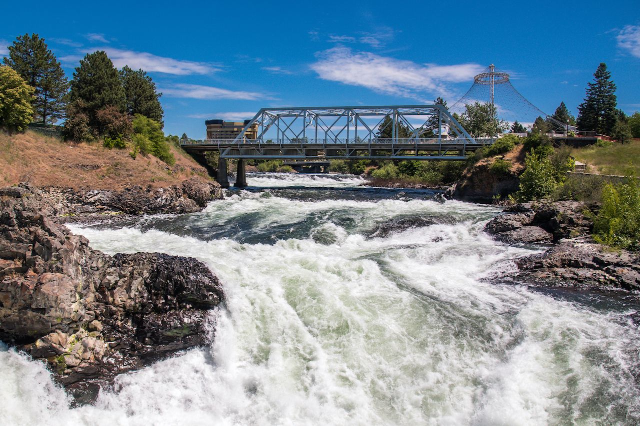
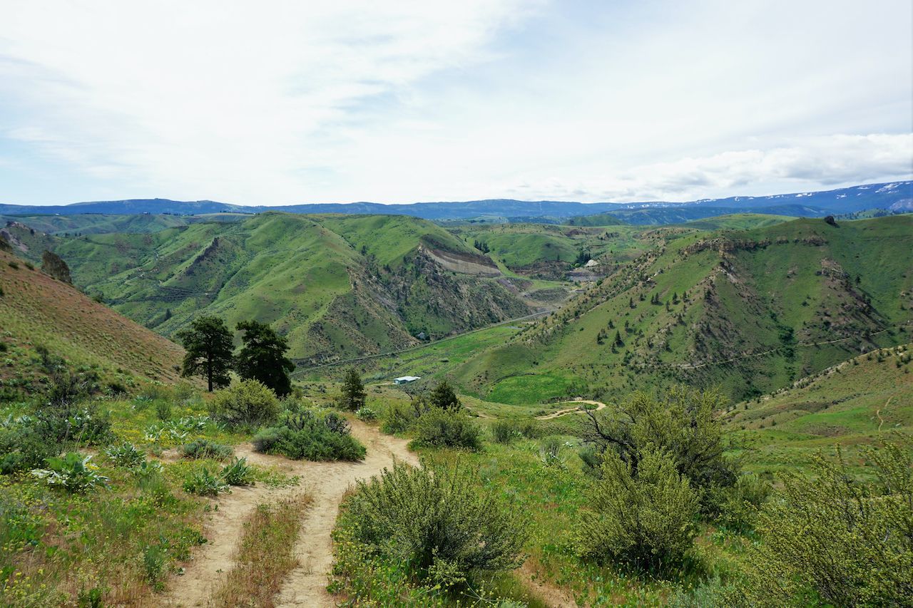
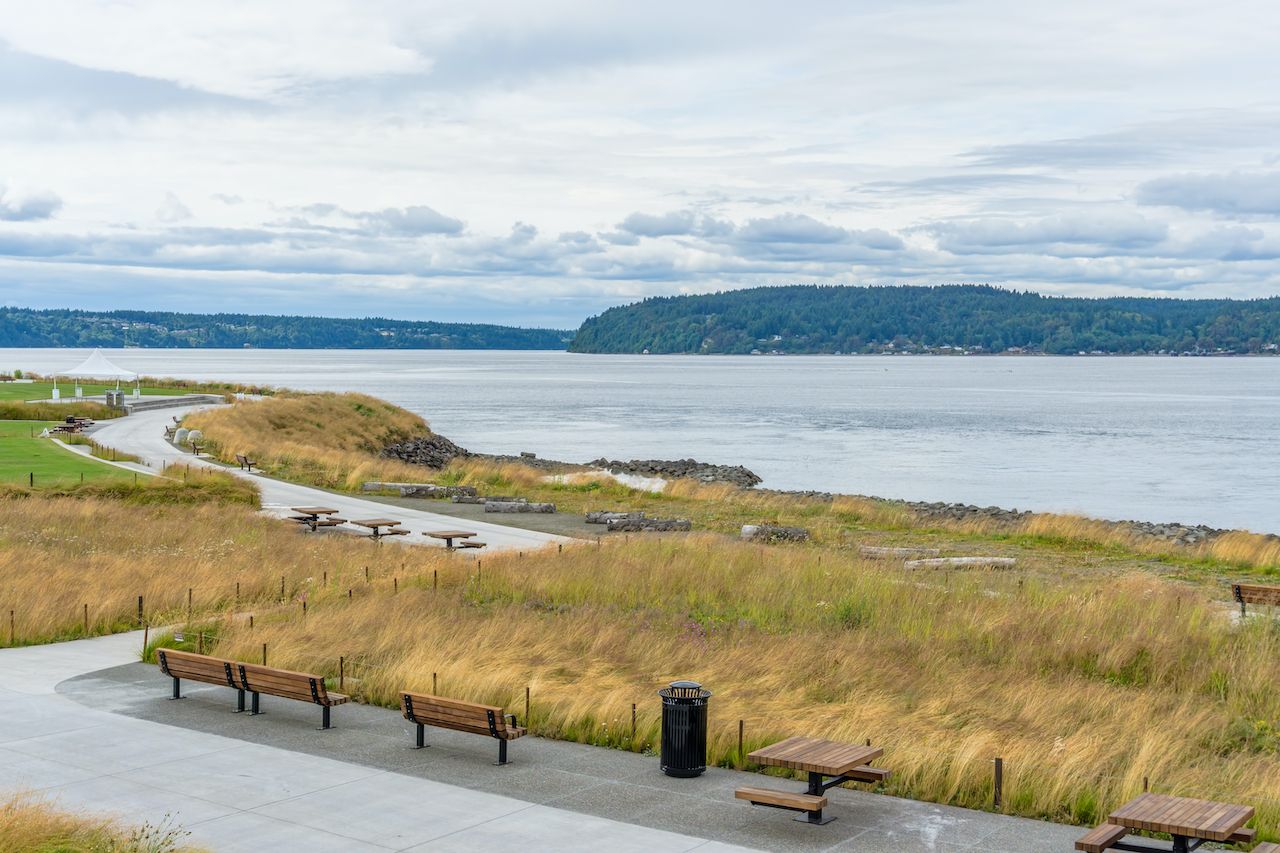
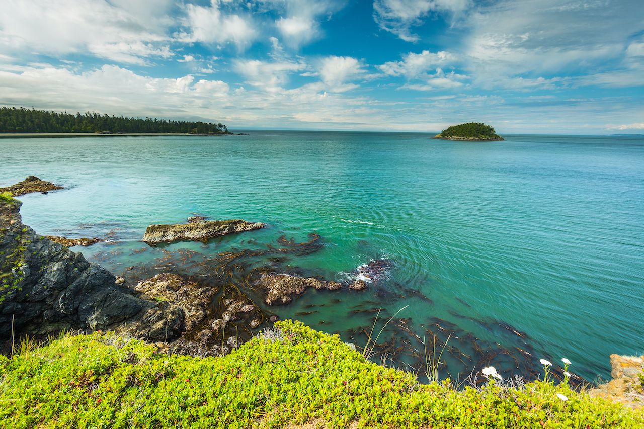
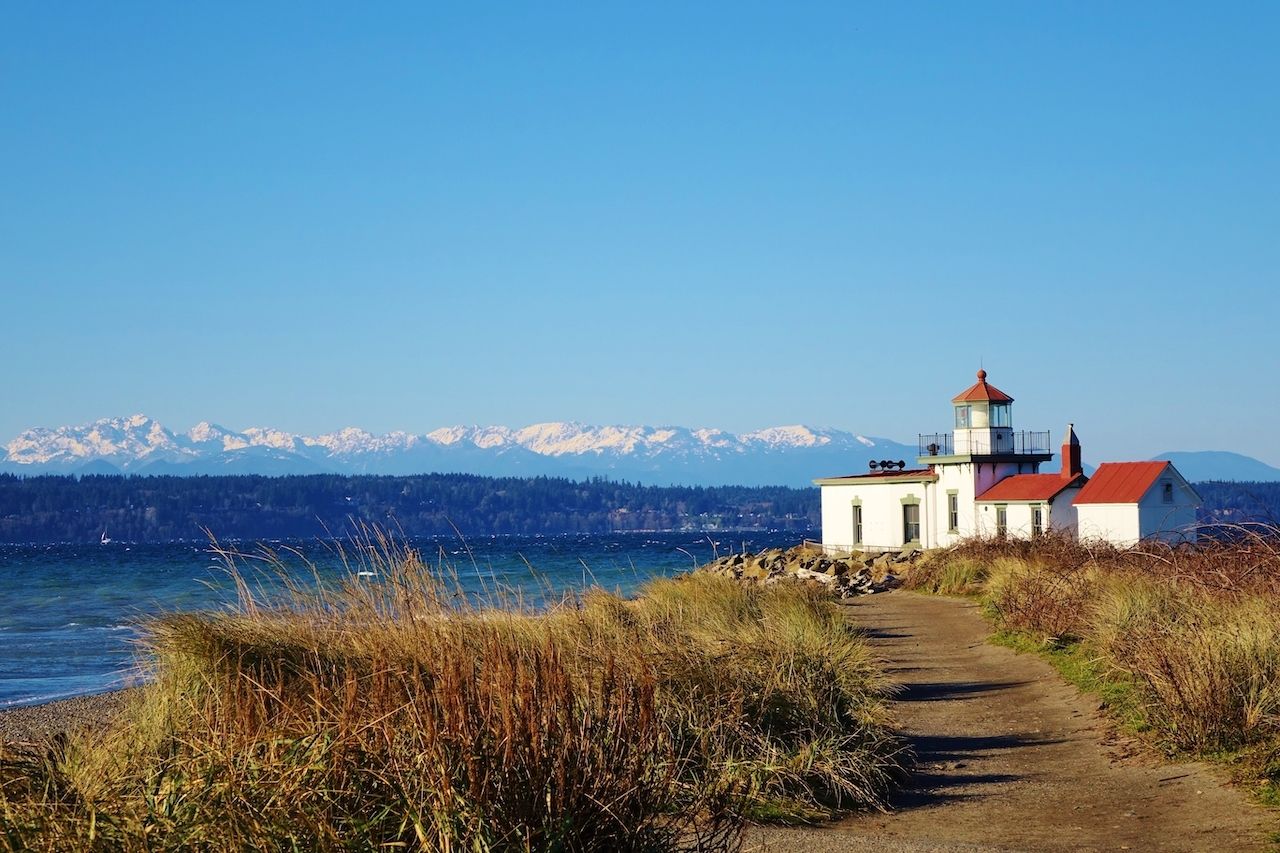
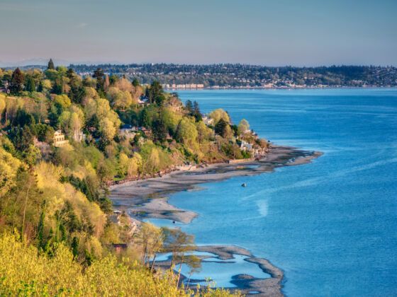
Lush forests, glacier-clad Cascade Mountain peaks, and saltwater shorelines are hallmarks of Washington State. Thankfully, you don’t need to travel far to enjoy these natural wonders. Anyone can experience the Evergreen State’s abundant beauty via urban trails that include everything from city center waterfront walks to true mountain treks.

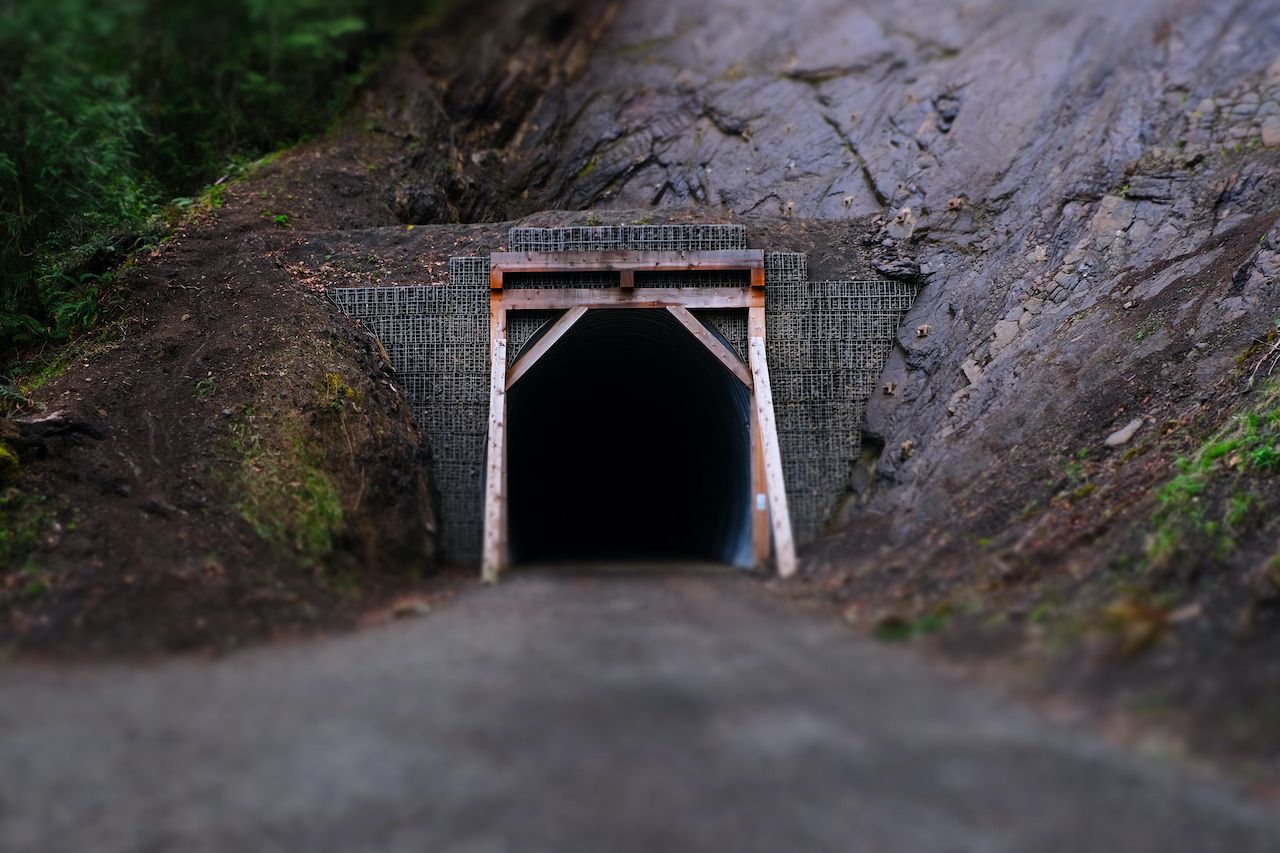
Located in or near the city, urban trails are defined by ease of access. Most are family and dog-friendly, with trailhead amenities and year-round hikeability. As with any hike, it’s a good idea to fuel up properly, bring plenty of water and snacks, and come with the right gear. But rest assured — you’ll never be far from the city on these adventures in the nearby nature.

Here are six diverse urban trails spread across the state. Mileage ranges are given, but since most of these trail networks are extensive, your mileage may vary.

1. Riverfront Park in Spokane

1-2 miles round trip

riverfront-park-spokane-washington-hike-1330490834,  urban hiking trails

Photo: Krumpelman Photography/Shutterstock

Located near the Idaho border, Spokane is Washington’s second-largest city. It’s a city that embraces its natural surroundings, and Riverfront Park is among the prettiest city parks in the state. Suspension bridges span the Spokane River, where waterfalls thunder through the canyon below. The Spokane SkyRide aerial cable cars fly over the falls in slow motion. Elsewhere in the park, human-made attractions like the historic clock tower, pavilion, and a giant red wagon make this urban greenspace one of Spokane’s top destinations. And it’s all accessible via urban pathways in the center of the city.

Looping through the park can take an hour or an afternoon, depending on your preferences. First, grab a park map at the visitor center. For the best views of Spokane Falls, cross the river via suspension bridge to Snxw Meneɂ island (this Salish name means “salmon people”). Back on the main island, you can’t miss the Expo ‘74 Pavilion — a former IMAX theater built for the World’s Fair that’s been converted into an elevated walkway and river viewing platform. Catch the sunset from here if you can. Then stroll through the peaceful park to the Great Northern Clock Tower. A remnant from Spokane’s industrial railway past, the tower has stood the test of time since 1902.

2. Saddle Rock Trail in Wenatchee

3 miles round trip

washington-hikes-Saddle-Rock-Trail-Wenatchee-1520497991,  urban hiking trails

Photo: Trish Jose/Shutterstock

If you’re looking for more “hike” and less “urban,” Saddle Rock is the answer. The prominent rock is visible from Wenatchee — a picturesque town on the other side of the Cascades mountains from Seattle — that rises nearly 2,000 feet above the valley. It’s a short, steep trek that gains 900 feet in a little over one mile, so come prepared for a proper hike. The summit offers sweeping views of the Columbia River.

Saddle Rock is perhaps best hiked in the spring during balsamroot blooms. During summer, hike in the early morning or evening to beat the heat. Regardless of the season, pack plenty of water, as the trail is fully exposed to the elements.

From the trailhead, which is located 10 minutes from downtown Wenatchee, head up a wide gravel path toward the looming summit. Social trails branch off here and there. When in doubt, stick to the widest, most well-traveled path. Soon, you’ll find yourself between two peaks atop the saddle, staring down on the city and river below. Keep a close eye on kids and dogs up here — it’s a long way down.

3. Dune Peninsula in Tacoma

2-3 miles round trip

dune-peninsula-tacoma-washington-hike-1468600883,  urban hiking trails

Photo: GeorgeColePhoto/Shutterstock

Just south of Seattle on Puget Sound, Tacoma has become a destination of its own, and its redeveloped waterfront combines urban convenience with the natural landscape. In just a couple miles of walking, you can go from the trendy shops at Point Ruston to 760 acres of forest, botanical gardens, zoo, and aquarium at Point Defiance Park. Peer over Puget Sound, watching ferries from various vantage points along the way.

Begin from Dune Peninsula Park to fully explore the area. Named after the classic sci-fi novel Dune, written by former Tacoma resident Frank Herbert, this little park offers 11 acres of scenic saltwater shoreline. See if you can find the sandworm public art inspired by the book. The trail bends south around the marina, turning west to ascend a wide pedestrian ramp that leads to the Wilson Way Bridge. This 605-foot-long, 50-foot-tall structure provides wide-open views of Puget Sound with the nearby islands and ferries below. Plus, it has a giant slide.

The “stairs and slides” attraction (locally known as chutes and ladders) is a series of six slides dropping 50 feet from Wilson Way to the waterfront. No child (and few adults) can resist the urge to slide on down. From here, the trail continues across the bridge into Point Defiance Park. Miles of hiking trails await at this crown jewel of Tacoma Metro Parks’ public lands. If you’re visiting during summer, don’t miss the free botanical gardens.

4. Spruce Railroad Trail in Port Angeles

2-10 miles round trip

spruce-railroad-trail-port-angeles-washington-hikes-1664761261,  urban hiking trails

Photo: Sara Valenti/Shutterstock

Maybe it’s a stretch to call this forested trail in Olympic National Park “urban.” But it’s only 30 minutes from Port Angeles, a striking coastal town at the foot of the Olympic Mountains, and the entire trail is paved, making it easily accessible to all. This trail runs five miles one-way along the lakeshore, but its highlights can be reached in a round trip that’s just two miles.

Spruce Railroad Trail is a remarkable section of the 135-mile Olympic Discovery Trail. Tracing the north shore of Lake Crescent, the trail follows an old railroad grade and passes through decommissioned train tunnels at the foot of Pyramid Mountain. This rails-to-trails corridor was built to harvest the trail’s namesake Sitka spruce in 1918. These days, it’s a pleasant walk past mossy maple trees and sword fern to a swimming hole on the wild side of the lake.

After just one mile of hiking, you reach the 450-foot-long McFee Tunnel. Walk through to the other side, hang a left, and discover the trail’s main attraction: Devil’s Punchbowl. Most visitors call it a day here, and it’s easy to see why. With its picturesque footbridge spanning the lake and Olympic Mountain views, the punchbowl makes for an excellent summer swimming hole. Just don’t wade out too far. At 624 feet deep, Lake Crescent is Washington’s second-deepest lake.

5. Deception Pass Headlands in Anacortes

3-4 miles round trip

deception-pass-headlands-anacortes-washington-hikes-494378806,  urban hiking trails

Photo: Roman Khomlyak/Shutterstock

The iconic Deception Pass bridge connecting Fidalgo Island and Whidbey Island stands 180 feet over the swirling waters below — a striking symbol of urbanity surrounded by natural beauty. Welcome to Washington’s most-visited state park. You can walk across the bridge for unrivaled views from the Cascade Mountains to the San Juan Islands. Besides the bridge, tourists come for the evergreen forests, pebble-strewn beaches, and headland heights — no ferry required. Get a taste of it all with a hike at Deception Pass Headlands.

Setting out from Bowman Bay, the trail heads south past an old fishing pier. Climb a 50-foot bluff (or simply walk the beach at low tide) to access Lighthouse and Lottie Points. These small peninsulas both offer short loops with views of the Deception Pass Bridge. Choose Lighthouse Point for a longer trek with high bluffs; Lottie for a shorter excursion.

Backtrack to Bowman Bay in preparation for the grand finale. Following the main trail north, then west leads to Rosario Head. The 60-foot sea cliffs here are arguably the most photogenic place in the park. Not quite Ireland’s Cliffs of Moher — but the closest you’re going to get in northwest Washington. Watch kids and dogs closely around these otherworldly bluffs.

6. Discovery Park in Seattle

3-4 miles round trip

discovery-park-seattle-washington-hikes-577694029,  urban hiking trails

Photo: Dan Lewis/Shutterstock

No Washington urban hikes guide is complete without mentioning our favorite park in Seattle: Discovery Park. Visitors can get lost in these 534 acres of forest, meadow, beach, and bluff — all connected by miles of trails. Grab a trail map from the East Parking Lot visitor center to plot your route before hopping on the 2.8-mile loop trail.

Loop highlights include bluff-top views across Puget Sound to the Olympic Mountains and a former military base at Fort Lawton Historic Area. But Discovery Park’s finest feature is located off the main loop, and accessible only by walking. At the west end of the loop trail, take a shore excursion along the South Beach Trail — dropping 200 feet to the waterfront. Here stands West Point Lighthouse. Originally constructed in 1881, the historic lighthouse is still active today.

Visit during sunset for the most dramatic photo opportunities. When the weather is clear, Mount Rainier rises above Seattle’s southern skyline, bathed in alpenglow at nightfall. This scene is as Seattle as it gets. With saltwater at your feet, historic lighthouse by your side, and volcano views beyond, Discovery Park proves itself a world-class urban hiking destination.

Discover Matador