Trying to avoid people in Zion National Park’s main canyon is like trying to avoid its sand — you can’t really do it. Each year, millions of people visit the park to see southwestern Utah’s rust-red cliffs and striking sandstone formations. Most visitors enter through the nearby town of Springdale, take a shuttle down Zion Canyon Scenic Drive, and congregate on a handful of hikes, which can mean long wait times to get see landmarks like Angels Landing and The Narrows (and tons of people in your photos). And Angel’s landing requires a permit now, by the way.

The 16 Least-Crowded Zion National Park Hiking Trails for Avoiding People
Far fewer visitors begin at the east entrance (along Route 9) or at the Kolob Canyon Entrance to the north, leaving a surprising amount of the park relatively untouched. For adventurers looking to experience the more remote and rugged Zion national park hiking trails, we’ve teamed up with the outdoor recreation app AllTrails to scope out the 16 least-crowded options. These are those trails, with firsthand feedback from hikers who’ve done them.
Note: There’s no guarantee that these trails won’t be crowded, since the number of AllTrails recordings is influenced by factors like extreme summer heat, the average age of visitors, and the length of the trail — the shorter it is, the less likely a user may be to record it. But they will give you a general sense of which trails have the greatest chance of being empty. AllTrails is free for anyone to join and access trails, but you’ll need a pro membership if you want to be able to download and follow the maps while offline.
What are the most popular Zion National Park hiking trails?
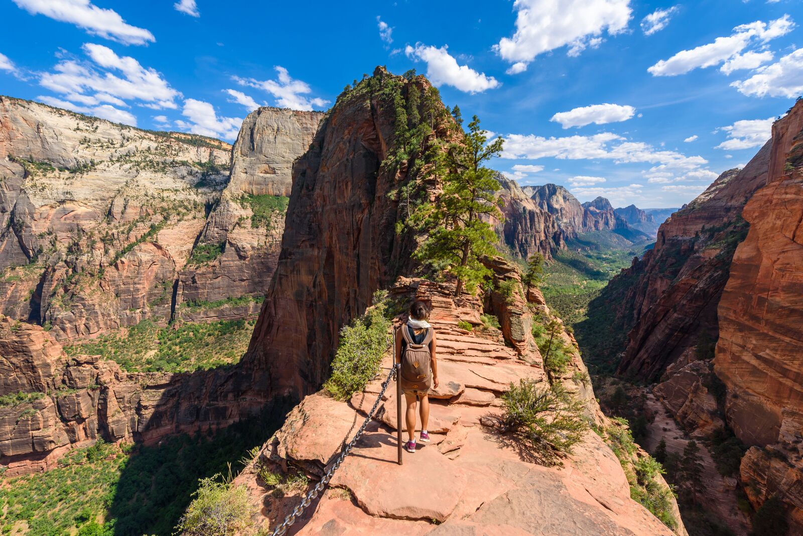
Photo: Simon Dannhauer/Shutterstock
1. Angels Landing Trail
- Distance: 4.4 miles
- Elevation gain: +/- 1,604 feet
- Difficulty: Hard
- Number of 2021 recordings: 6,677
Angels Landing isn’t just Zion’s most popular trail. It’s up there with the most famous trails in the entire US National Park System. The trail’s sandstone formation got its name in 1916 when minister Frederick Vining Fisher declared it so tall that only angels could land there. On average, more than 550 daring hikers record a trek to prove Fisher wrong each month. It can be a bit scary as the final stretch is a narrow ridge with 1,000-foot drop-offs, though there is a chain railing to help steady hikers. Even if you don’t make it to the end, Angels Landing is a leg-burning hike with a beautiful plateau roughly 500 feet from the top that makes a nice viewpoint if you don’t go to the end. The trail begins at the Grotto Trailhead at the sixth stop of the Zion Canyon Shuttle.
2. Watchman Trail
- Distance: 3.1 miles
- Elevation gain: +/- 636 feet
- Difficulty: Moderate
- Number of 2021 recordings: 3,566
The Watchman Trail is an excellent choice for hikers entering the park from the main entrance who want a steady yet moderate incline that yields views of the Temples and Towers of the Virgin (a sweeping string of monoliths on the west side of Zion Canyon), as well as Watchman Peak, which marks the end of the trail. The trail is conveniently less than a mile from the visitor center, so there’s no shuttle necessary, which likely helps explain why it’s one of the most popular Zion National Park hiking trails. If you’re looking to add on some mileage, try combining the Watchman Trail with the 3.4-mile out-and-back Pa’rus Trail, which begins on the opposite side of the Virgin River and winds up at Canyon Junction Bridge, one of the park’s most-photographed spots.
Traveling to Zion? Check out Matador’s Zion National Park lodging guides:
3. Zion Canyon Overlook Trail
- Distance: 1 mile
- Elevation gain: +/- 187 feet
- Difficulty: Moderate
- Number of 2021 recordings: 2,373
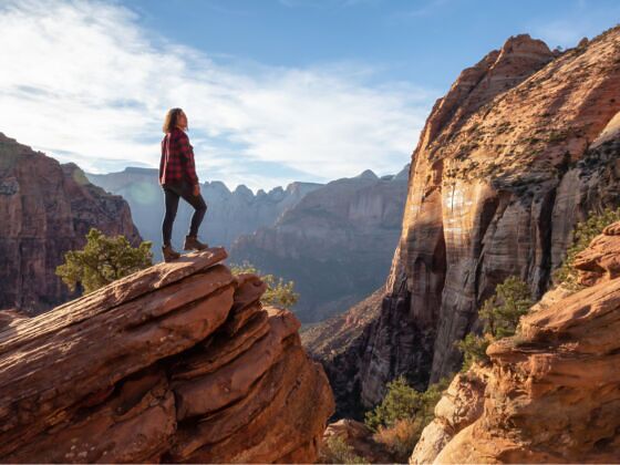
Spanning just one mile out and back, the Zion Canyon Overlook Trail is more about the views than the workout. It’s one of the few official trails in the park’s Upper East Canyon and cannot be reached by shuttle, so you’ll need to park near the Zion-Mount Carmel Tunnel off Route 9 to access the trail. The (relatively) easy trail has a shady section at the halfway mark where you can stage a photoshoot surrounded by verdant ferns, then continue on for the panoramas at the end. With railings running along much of the trail, this is a great choice for groups with kids, although the drop-offs can be somewhat steep, and you’ll still want to mind where you’re walking.
The least-crowded Zion National Park hiking trails, from most to least trafficked
1. Deertrap Mountain via Stave Spring Trailhead
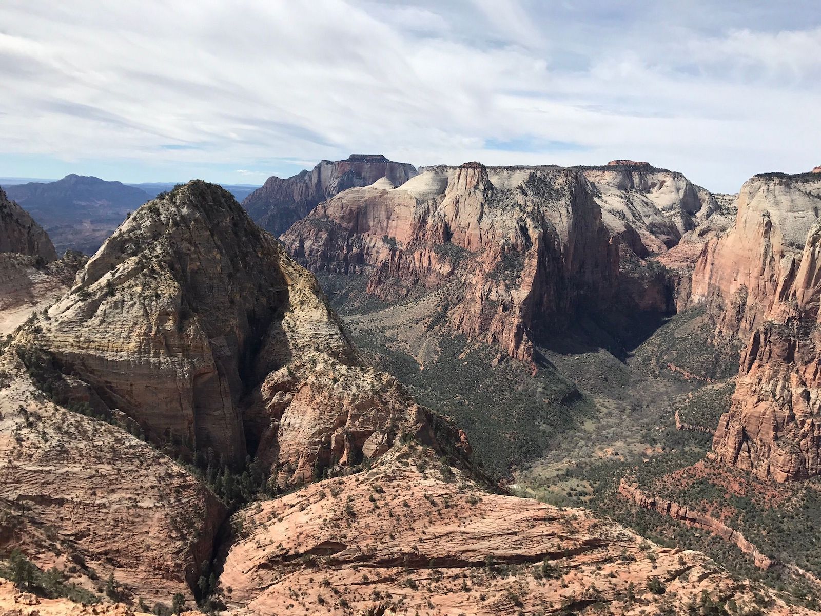
Photo: AllTrails
- Distance: 10.6 miles
- Elevation gain: +/- 1,233 feet
- Difficulty: Hard
- Number of 2021 recordings: 79
The Deertrap Mountain Trail has no dedicated trailhead. Hikers access it via the East Rim Trail for a 20-plus-mile round-trip out-and-back hike, or can start at the Stave Spring Trailhead, which cuts the hike roughly in half. While much of the trail is relatively flat, expect ups and downs in the home stretch as the final few miles traverse multiple hills in the upper plateau. Along the way, hikers can expect to pass foliage ranging from ponderosa pines to wildflowers, depending on the season, but it can also get overgrown and muddy. This is one of the best Zion National Park hiking trails if you want a view of Angels Landing (from Deertrap Mountain) but don’t want to deal with the Angels Landing crowds. More information.
2. Coalpits Wash
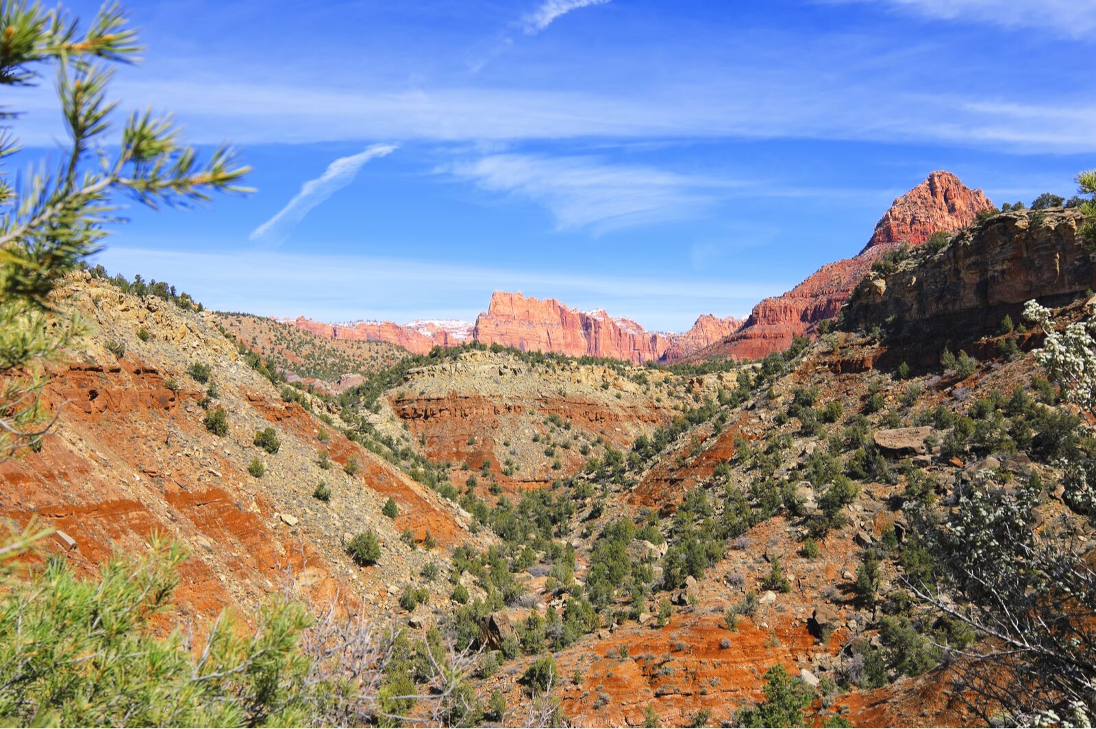
Photo: Marina Ivanova/Shutterstock
- Distance: 7.2 miles
- Elevation gain: +/- 524 feet
- Difficulty: Moderate
- Number of 2021 recordings: 56
Like much of Zion’s backcountry, Coalpits Wash is an exercise in scrambling up loose rocks. But unlike on the more harrowing trails, the biggest obstacles here are overgrowth and questionable trail markings. The trail up the wash starts fairly gentle — mostly flat with a few steeper sections and lots of muddy areas — and eventually yields to some easy bouldering. With little competition from other hikers, Coalpits Wash is a nice place for beginner backpackers to overnight at the campsites along the route. The trail also intersects Scoggins Wash (listed below) and the two can be done in tandem as a loop for a more exciting day hike. It truly is a “moderate” trail, both in terms of distance and elevation gain. More information.
3. Sand Bench Trail
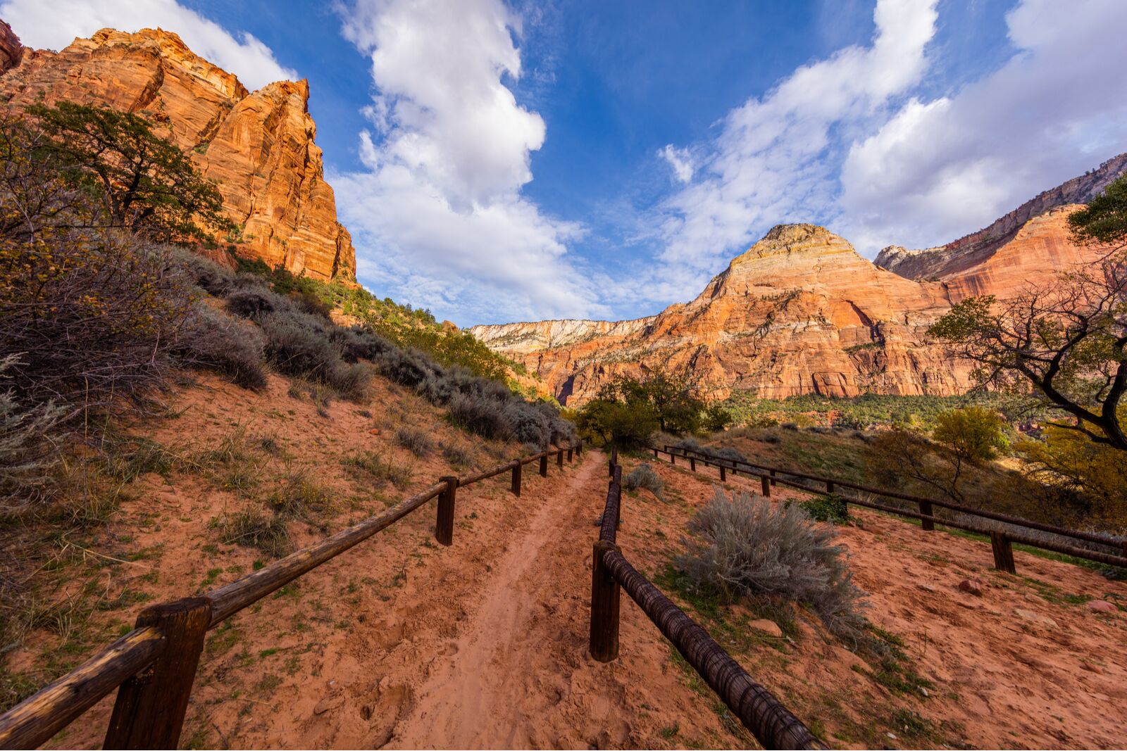
Photo: Roman Khomlyak/Shutterstock
- Distance: 3.8 miles
- Elevation gain: +/- 721 feet
- Difficulty: Moderate
- Number of 2021 recordings: 43
Heed the trail name before choosing this route — you’re in for a sandy hike. You can access this rarely crowded Zion National Park hiking trail one of two ways: either from the Emerald Pools Trailhead at the fifth shuttle stop on Zion Canyon Scenic Drive, or from the Court of the Patriarchs (shuttle stop four). It’s one of the few on this list actually accessed via Zion Canyon Road. The consensus from AllTrails users is to hop off at the latter stop and do the hike clockwise so that the sandiest sections are downhill. This is the shorter route, but apparently, you’re not missing much if you skip the first mile — except mud and horse droppings as Sand Bench Trail is equestrian-friendly. You’ll probably want to skip it in the peak of summer as the trail is quite exposed and the terrain can get very, very dry. More information.
4. Cascade Falls
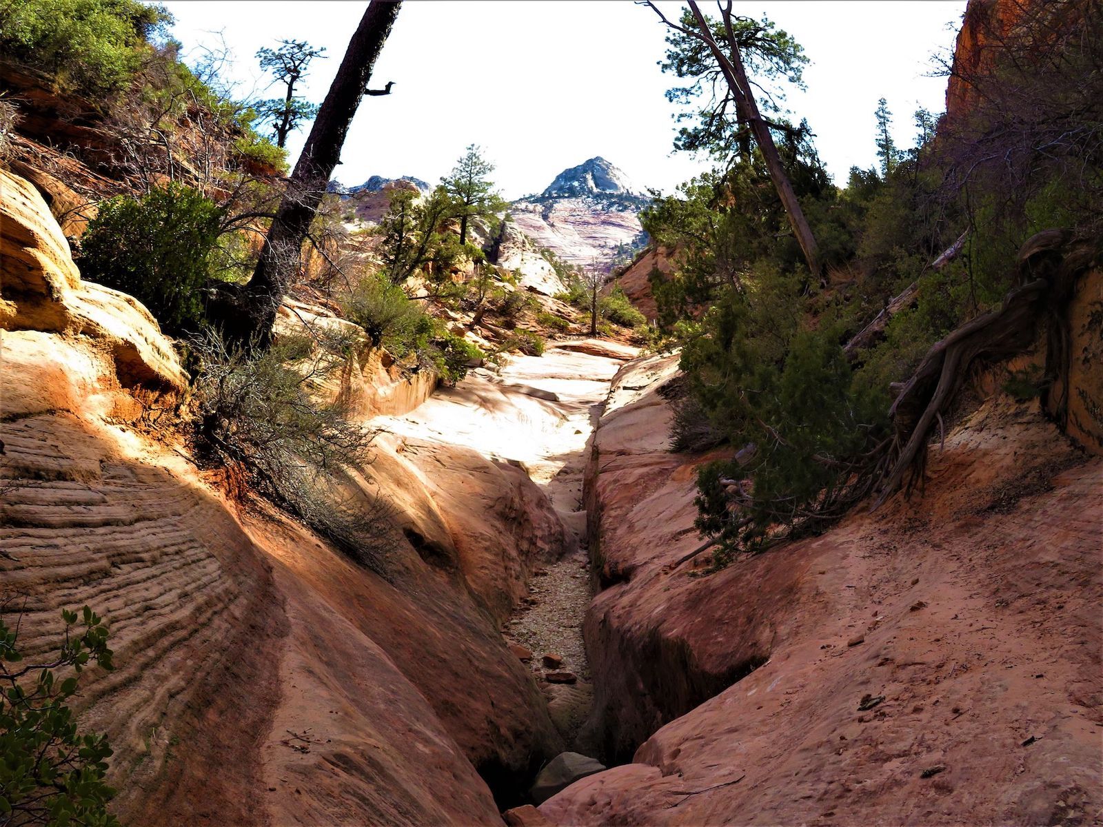
Photo: AllTrails
- Distance: 2.2 miles
- Elevation gain: +/- 465 feet
- Difficulty: Moderate
- Number of 2021 recordings: 36
Cascade Falls is a pleasant mix of riverside meandering and boulder scrambling while climbing a slickrock canyon in East Zion. The trailhead is beside the small tunnel on the Zion-Mount Carmel Highway. The trail itself is pretty accessible with little elevation gain, but it’s not particularly well-marked, so you’ll need some hiking know-how to navigate it. More information.
5. Shelf Canyon Trail
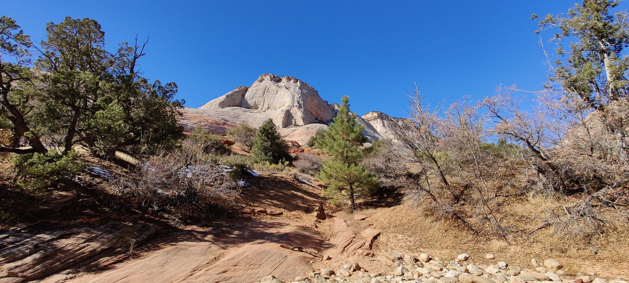
Photo: AllTrails
- Distance: .7 miles
- Elevation gain: +/- 259 feet
- Difficulty: Moderate
- Number of 2021 recordings: 36
This is one of the best Zion National Park hiking trails if you like slot canyons, as there’s rarely anyone else around and it’s in the less-popular Upper East Canyon area. At the end of the trail is a rocky hollow that shows off Shelf Canyon’s namesake shelves, which run up the west wall. Despite being a short out-and-back hike with little elevation gain, the trail is classified as moderate due to obstacles like narrow walls, steep slickrock, and big boulders that hikers have to contend with as they venture into the slot. Budget a bit more time than you think you might need. More information.
6. East Temple Saddle Trail
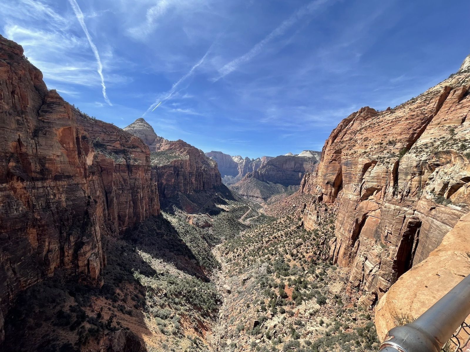
Photo: AllTrails
- Distance: 2.7 miles
- Elevation gain: +/- 1,177 feet
- Difficulty: Hard
- Number of 2021 recordings: 27
East Temple Saddle is one of the few Zion National Park hiking trails truly best left to experienced backcountry hikers — or in this case, scramblers. One AllTrails user compared it to Angels Landing “without the chains, man-made switchbacks, and signs.” Though the hike begins on the relatively easy out-and-back Canyon Overlook Trail, it quickly takes hikers off the trail to make a loop through the steep and slippery terrain on the backside of the saddle. Standard GPS can be sketchy here, but it’s easy to get lost, so consider coming equipped with a reliable backcountry GPS app and a downloaded (i.e., available offline) map. More information.
7. Mountain of the Sun Trail
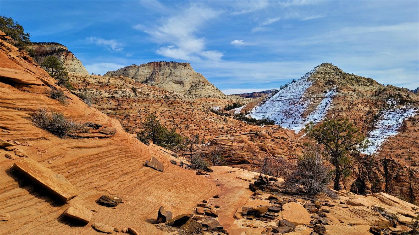
Photo: AllTrails
- Distance: 6.4 miles
- Elevation gain: +/- 3,047 feet
- Difficulty: Hard
- Number of 2021 recordings: 27
Across from the Court of the Patriarchs in Zion Canyon, the Mountain of the Sun Trail is a quintessential Zion backcountryish excursion — but not a trail for the inexperienced or faint of heart. Several AllTrails users reported bringing a rope to belay down the steepest, loosest, and slipperiest sections of the rock face; everyone agreed that grippy shoes (and possibly grippy gloves) are an absolute must. One wrong move on this tricky Zion trail could be fatal, so don’t even think about attempting it in the winter when the rock face could be icy or wet. But the panoramic views of the entire Zion Canyon from the top are simply unparalleled and a fair reward for hikers who know what they’re doing. More information.
8. Cockeye Falls Trail
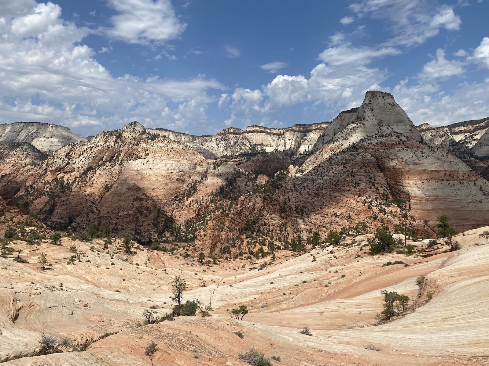
Photo: AllTrails
- Distance: 4.7 miles
- Elevation gain: +/- 1,354 feet
- Difficulty: Hard
- Number of 2021 recordings: 15
Cockeye Falls is the obvious highlight of this Zion National Park hiking trail, although it’s likely to be frozen in winter and dried up in summer, so plan to visit during the shoulder seasons. But even if you don’t time the falls exactly right, you’ll still get a spectacular glimpse into Parunuweap Canyon, which runs along the East Fork of the Virgin River. The terrain waffles between brush and slickrock as you climb to the saddle of Peak 6460 in East Zion’s backcountry, weaving between striking hoodoos and patches of pine trees in bighorn sheep territory. The so-called trail is unmaintained and unmarked, so you’ll feel like a real trailblazer here. Just be sure to download an offline map before you get past the trailhead. More information.
9. West Route Canal
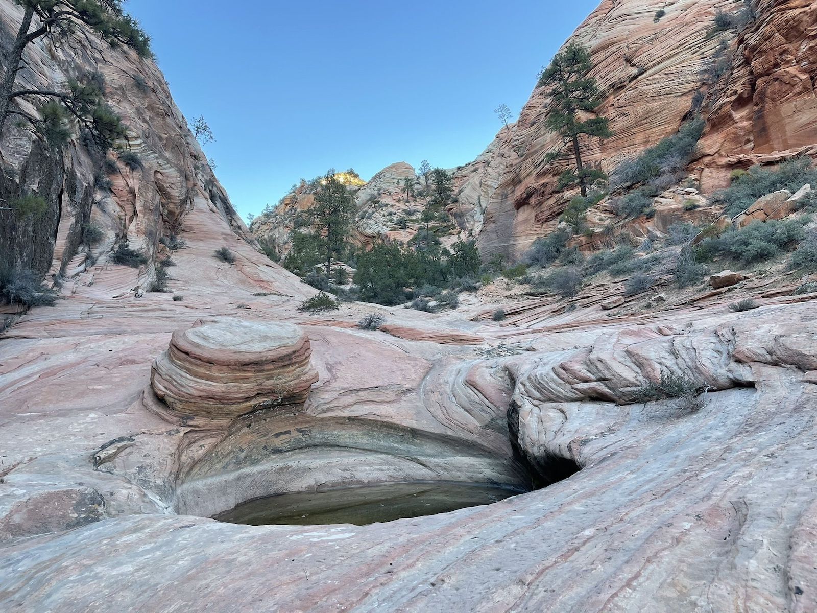
Photo: AllTrails
- Distance: 2.2 miles
- Elevation gain: +/- 583 feet
- Difficulty: Hard
- Number of 2021 recordings: 13
If you’re into tricky slot canyon hikes, West Route Canal is good introduction, with tough terrain but a relatively wide berth. It’s an excellent Zion National Park hiking trail for a beginner slot-canyon explorer, but the technical skills required still make it an overall difficult hike. On the way to the slot, you’ll pass several small pools as you navigate slickrock and shrubby ravine; once inside, prepare to scramble through loose rocks and sand and do some moderate bouldering in the tighter sections. More information.
10. Pine Creek Canyon
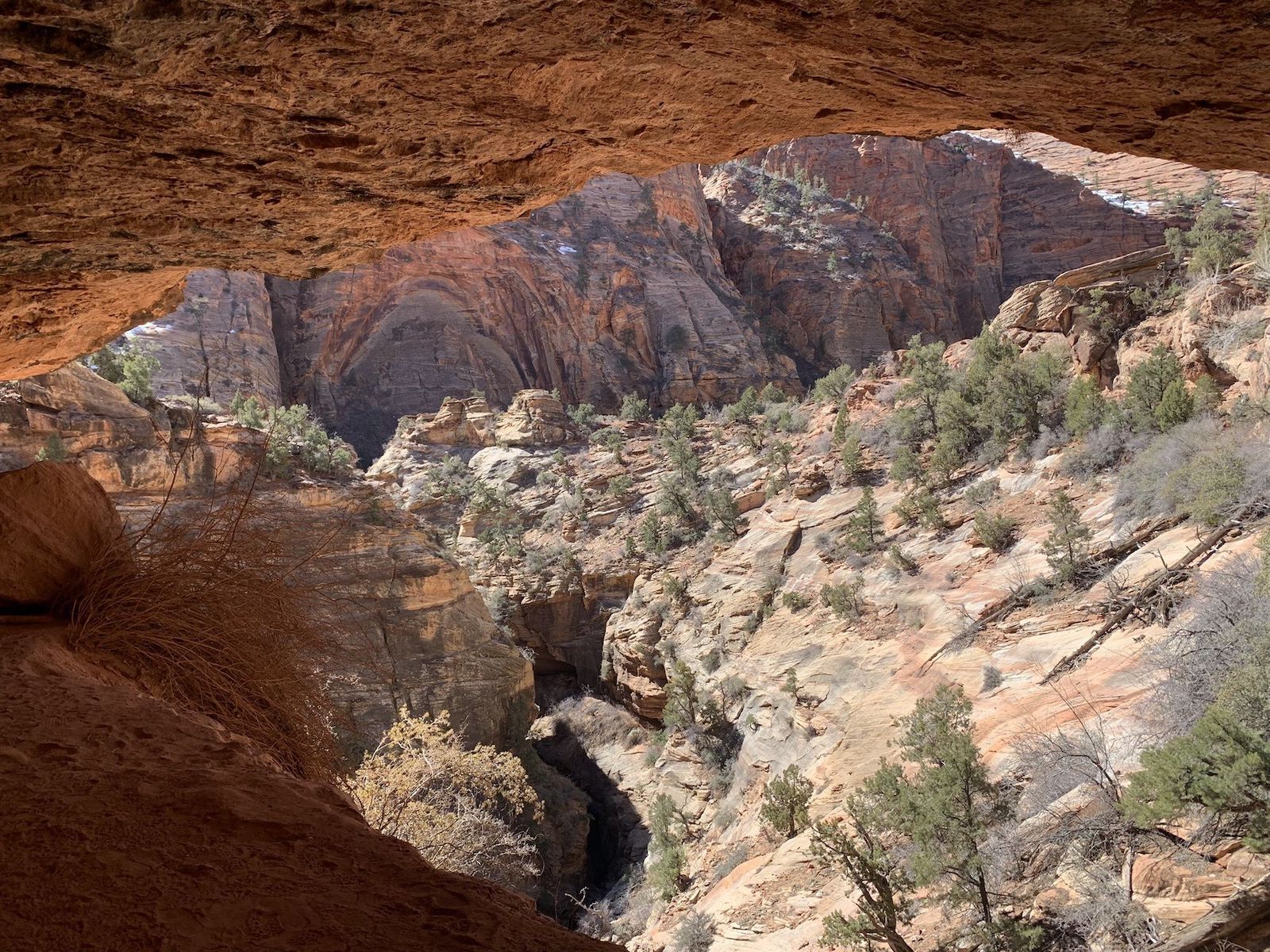
Photo: AllTrails
- Distance: 1.2 miles
- Elevation gain: +/- 36 feet
- Difficulty: Moderate
- Number of 2021 recordings: 12
Pine Creek Canyon is a technical canyoneering route not suitable for the average hiker, which may explain why it’s on a list of the least-crowded Zion National Park hiking trails. But if you do have the proper gear and experience, it’s an incredible experience. The subterranean slot canyon descends roughly 900 feet and can take anywhere from two to six hours to rappel, downclimb, and swim through, winding up at Zion’s Route 9 switchbacks. (Wetsuits are non-negotiable for the watery sections.) You’ll need a permit to canyoneer through Pine Creek, and only 50 people are permitted per day, so do your best to reserve one well in advance. More information.
11. Checkerboard Arch Trail
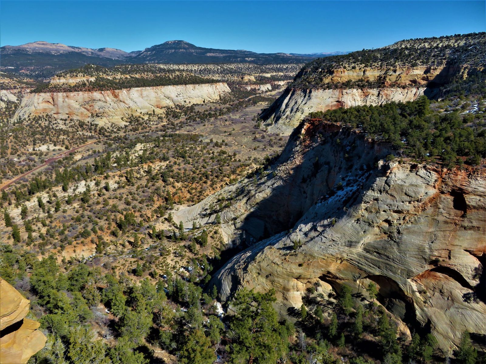
Photo: AllTrails
- Distance: 1.1 miles (depending)
- Elevation gain: +/- 849 feet
- Difficulty: Moderate
- Number of 2021 recordings: 10
Towering over the Zion-Mount Carmel Highway, Checkerboard Mesa is the most famous landmark in Zion’s East Side, where the majority of the striking rock formations remain unnamed. Checkerboard Arch isn’t on Checkerboard Mesa, but the trail to the arch curves around the base of the mesa. Overall, it’s a great microcosm for hiking on the east side of the park, with equal parts slickrock scrambling, sand trudging, and bushwhacking. You’ll also need to do your own navigation, as is common in less-visited East Zion. There’s no real trail here, and the terrain is unmaintained, so it’s up to individual hikers to find the best route. More information.
12. The Triplets Trail
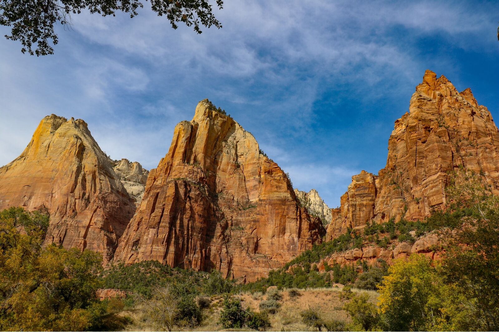
Photo: D Currin/Shutterstock
- Distance: 2.8 miles
- Elevation gain: +/- 1,181 feet
- Difficulty: Hard
- Number of 2021 recordings: 7
The Triplets Trail is a bit of a misnomer. The Triplets is a nickname for one of Zion’s peaks, which is actually a series of four peaks on the East Rim, not three. (Admittedly, the fourth and westernmost peak is small and unremarkable compared to the main trio, each of which is accessible from this backcountry trail.) The easternmost peak is the tallest, but the real fun lies in traversing the saddles between The Triplets if you’re comfortable with Class two-to-four climber obstacles. But even if you’re not a climber, the hike through the canyon connecting the peaks is worthwhile if you like remote and rugged trails (and don’t mind a bit of bushwhacking). More information.
13. Upper Keyhole Canyon
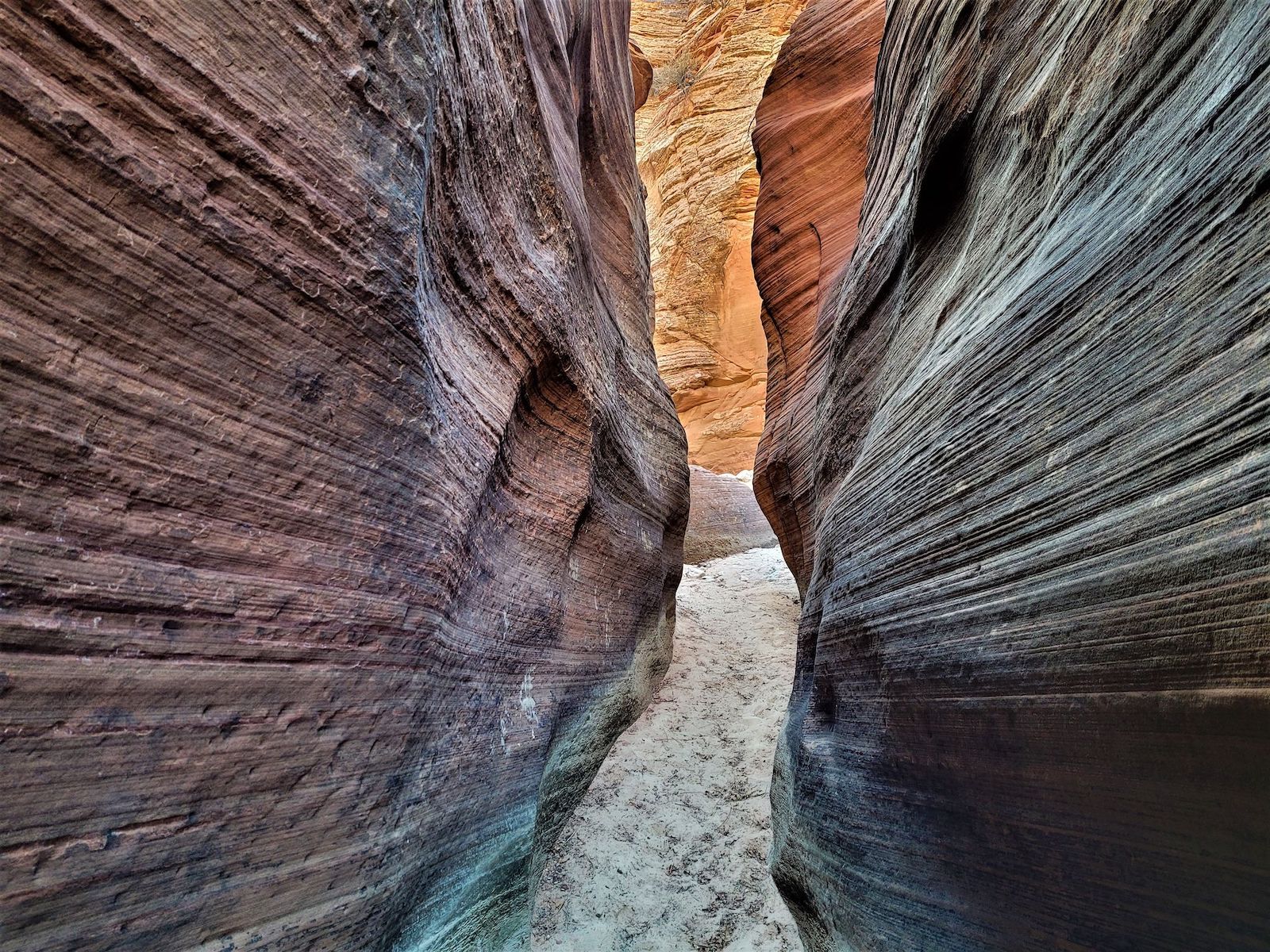
Photo: AllTrails
- Distance: 3.2 miles
- Elevation gain: +/- 711 feet
- Difficulty: Hard
- Number of 2021 recordings: 6
While Zion’s Keyhole Canyon requires technical gear to rappel, and wetsuits are recommended for the parts you have to swim through, Upper Keyhole Canyon is a non-technical canyoneering route. Nonetheless, it’s not for the inexperienced as it’s a narrow slot canyon with sections where you’ll alternate between scampering up and down rocks or wading through water. You should be comfortable with Class 2 and 3 climbing skills, too.
You’ll start off Route 9 and should budget extra time to explore the washes alongside the remote upper canyon. You can also hike to Jug Handle Arch (below). As with all slot canyons, keep an eye on the weather and don’t go if there’s rain in the forecast — slot canyons are notorious for deadly flash floods. More information.
14. Scoggins Wash Trail
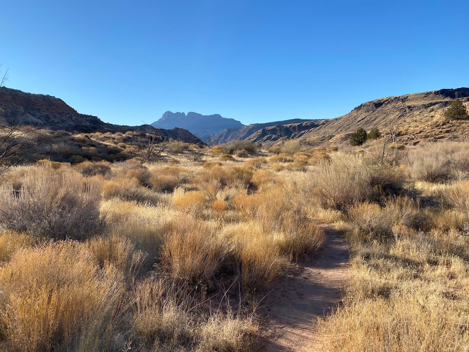
Photo: AllTrails
- Distance: 12.8 miles
- Elevation gain: +/- 3,005 feet
- Difficulty: Moderate-to-difficult
- Number of 2021 recordings: 5
This Zion National Park hiking trail is actually in South Zion, where the elevation is lower than elsewhere in the park — hence the massive elevation gain on the 12.8-mile trail. The wash is a tributary of Coalpits Wash (listed above) and the Coalpits Wash Trailhead is a good place to start for this one, too. While the hike never gets too technical, it does get progressively harder as the wash narrows. The elevation gain is fairly even along the trail until the last mile, but it may be a moderate or difficult hike depending on your comfort with longer distances. The cooler months are ideal for tackling Scoggins Wash as the heat gets brutal during summer, and you’re most likely to see water flowing in spring or after rainstorms in the fall. More information.
15. G2 Trail
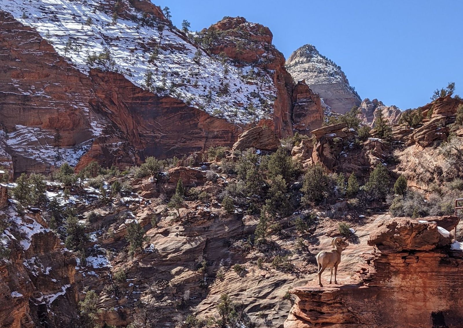
Photo: AllTrails
- Distance: 8.4 miles
- Elevation gain: +/- 2,988 feet
- Difficulty: Hard
- Number of 2021 recordings: 3
The fact that it’s over eight miles long and gains almost 3,000 feet of elevation could explain why the G2 Trail has only three recordings, but it’s probably also because people that do it know it so well they don’t bother recording it each time. It can be a day hike, but it’s going to be an all-day hike in Zion’s backcountry. While AllTrails data suggests budgeting around 5.5 hours to complete, commenters warn that eight to 12 hours is more realistic.
Looking east from the visitor center, you’ll see G2’s vertical rock face staring back at you, though the trail to reach it starts and ends at the Canyon Overlook parking lot on the east side of the Zion-Mount Carmel Tunnel. While you might think scaling the actual rock face would be the most is the most trying part of the climb — as it’s the toughest and most technical challenge — most commenters think the marshlands on the way to the face is actually the trickiest area. On the plus side, there’s a good chance you’ll see bighorn sheep before you make it to the steep scramble. More information.
16. Jug Handle Arch Trail
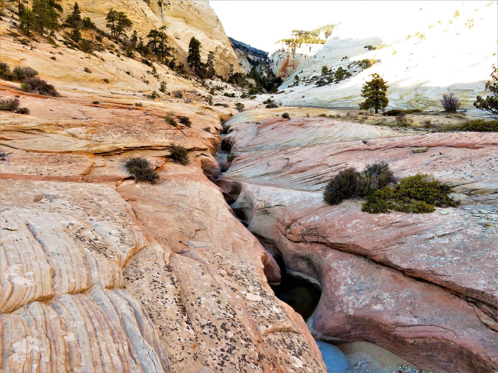
Photo: AllTrails
- Distance: 2.4 miles
- Elevation gain: +/- 1,013 feet
- Difficulty: Hard
- Number of 2021 recordings: 2
The star of the Jug Handle Arch Trail is one of Utah’s many natural arches. This one is a propped arch, which means it’s shaped like the handle of a jug — hence the name. The arch is visible from Route 9 on the east side of the park but can be hard to spot, so it’s lucky that this hike lets you see it from so close, starting about 3.5 miles east of the Zion-Mount Carmel Tunnel. Just be warned that it won’t be easy. It’s a scramble to reach the arch, with some sections of the trail demanding Class 3 or 4 climbing skills. As for the rest, well, it’s just plain steep. More information.