Photo: Andy Konieczny/Shutterstock

9 Stunning LA Hiking Trails for an Urban Workout Without the Crowds

Los Angeles Outdoor Hiking
by Joanna Kalafatis Apr 21, 2022

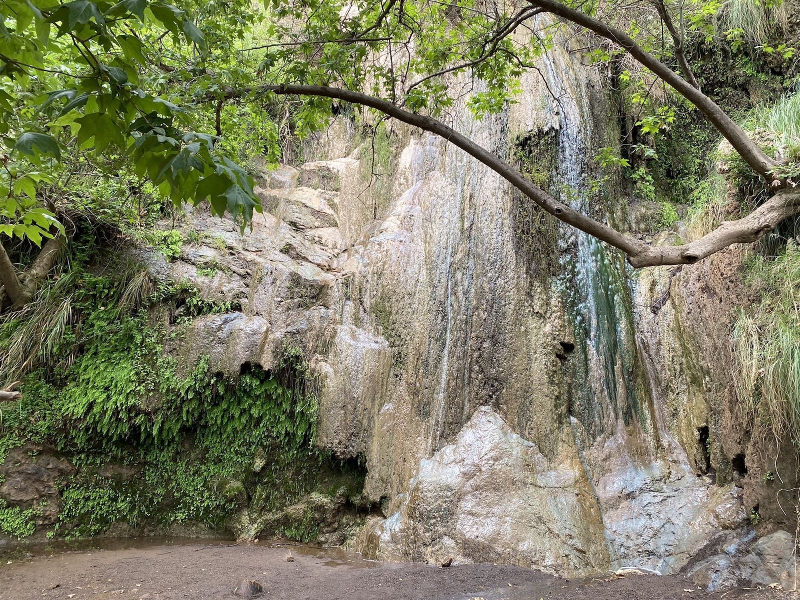
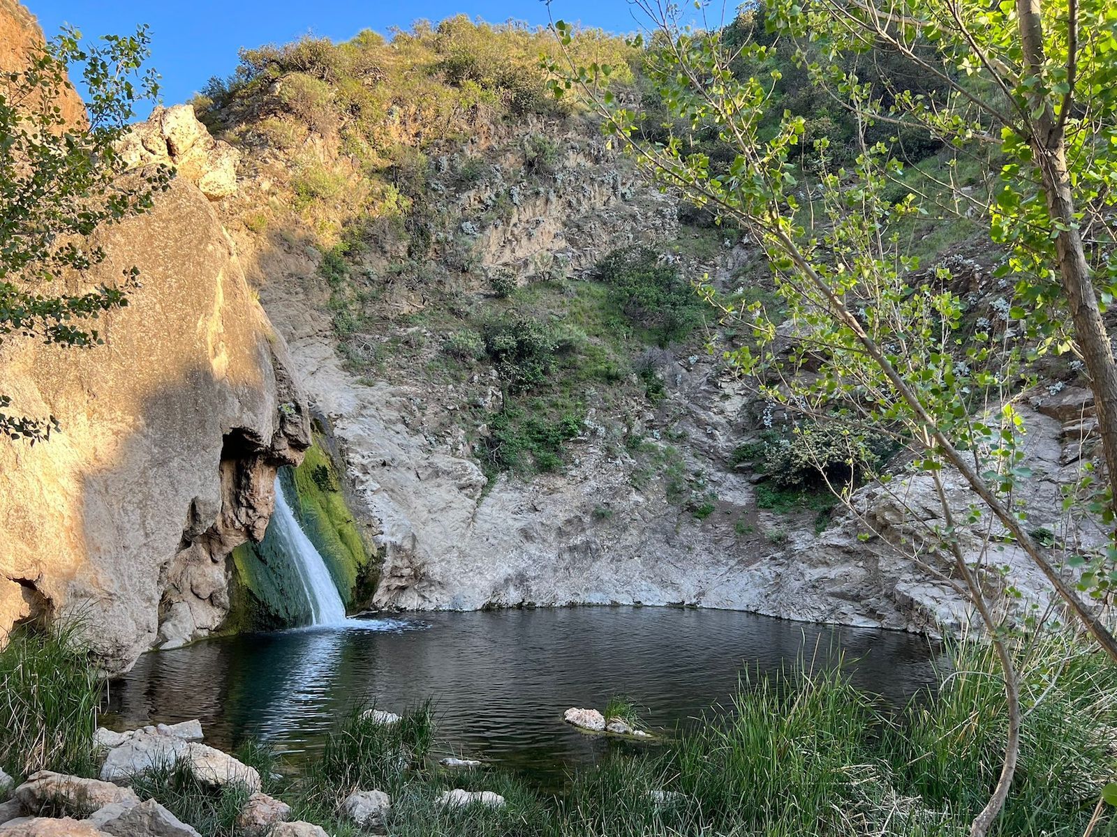
One of the most significant advantages of living in or visiting Los Angeles is having access to over 100 hiking trails evenly spaced throughout Los Angeles county.

LA hiking trails run the gamut from coastal cliffs and inland forests to mountains and views of downtown skyscrapers. For being such a large, expensive city, Los Angeles offers a surprising host of incredible trails for most hikers within just a short drive from the city limits.

However, most people visiting the city tend to stick to the classic, more well-known hiking trails in LA, including Griffith Park or one of the two routes in Runyon Canyon Park. This means those LA hiking trails are incredibly crowded, but many of the lesser-known routes around the county get overlooked, despite their beautiful surroundings.

runyon canyon

Photo: oneinchpunch/Shutterstock

Given the highly regulated parking around LA and the fact that there are probably too many cars in the city, accessing the most popular trails can be a hassle, especially when the parking lots fill.

But don’t worry: you just need to explore one of these incredible LA hiking trails with fewer crowds. Just remember that the city is generally blessed with sunny, moderate weather, but temperatures can fluctuate wildly from morning to night. Hot, sunny days can quickly turn into chilly evenings after the sun goes down. Wear layers, drink plenty of water, and keep an eye on the weather (and an eye on the ground as there are a few odd rattlesnakes in the area).

Oh, and as any Angeleno will tell you, driving to or from trails during morning and evening rush hour is a bad idea. Los Angeles traffic has some weird roads and the traffic is really, really bad.

Wildwood Canyon Trail

La hiking trail wildwood canyon

Photo: Andy Konieczny/Shutterstock

  • Location: Burbank
  • Distance: 2.3 miles
  • Type: Out and back
  • Elevation gain/loss: +/- 918 feet

Perhaps better known to tourists and locals as the home of Warner Bros. Studios, Burbank also has a surprising number of recreational areas. At the top of that list is the Wildwood Canyon Trail, which rewards hikers with one of the most breathtaking, sweeping views of Los Angeles. On a (rare) clear day, visitors can see the city’s downtown area, the hills, and the coast at once.

Though it’s a short hike, the incline on the way up is relatively steep, so be prepared for a strenuous ascent that usually takes just under an hour. Sunset is the best time to enjoy the views from the top. Considering the limited artificial light around this area, you’ll want to bring a light source for the hike back down.

Hikers looking for a more relaxed descent can take the alternate, mostly paved route down, which is longer and windier but has a more moderate incline.

As a bonus, the parking lot at the base of the trail is usually mostly empty, making this one of the easier hikes in LA to do on a whim.

Note that there’s another Wildwood Canyon Trail near Yucaipa, so don’t get the two confused. More information.

Escondido Falls Trail

Escondido Falls hiking trail in LA

Photo: AllTrails

  • Location: Malibu
  • Distance: 3.7 miles
  • Type: Out and back
  • Elevation gain/loss: +/- 534 feet

Just off the scenic Pacific Coast Highway, the Escondido Falls Trail features plenty of California coastal views and takes hikers past luxury Malibu mansions to a beautiful waterfall vista. Thanks to its location near the ocean and the fact that most of the trail is shaded, it’s one of the best LA hiking trails for warmer summer days.

Couples and families especially enjoy this route as a good section of it is fairly wide and level and dog-friendly. A couple of creek crossings are required, but even when the water level is high, some easy rock-hopping makes it easy to keep your feet dry. In spring, wildflowers bloom along the path, creating an extra burst of beauty.

Keep in mind that only the lower falls are accessible, as the upper falls are on private property. More information.

Franklin Canyon Site Trail

Franklin Canyon LA hiking trails

Photo: divanov/Shutterstock

  • Location: Between Beverly Hills and Studio City
  • Distance: 2 miles
  • Type: Loop
  • Elevation gain/loss: +/- 219 feet

One of the easiest and shortest LA hiking trails, Franklin Canyon Site Trail is perfect for an afternoon stroll through one of the lesser-known natural refuges of Los Angeles, in the eastern end of the Santa Monica Mountains. Though it’s in the middle of LA, you’ll feel like you’ve left the city far behind, especially with the ducks and turtles swimming around the reservoir and adjoining Heavenly Pond.

Though almost devoid of tourists, Franklin Canyon Park is a favorite spot among locals for picnicking, strolling, biking, and birdwatching. More information.

Wisdom Tree Trail & Mount Lee Summit Loop

wisdom tree LA hiking trail

Photo: trekandshoot/Shutterstock

  • Location: Near Cahuenga Pass
  • Distance: 3.9 miles
  • Type: Loop
  • Elevation gain/loss: +/- 1,407 feet

The Wisdom Tree Trail is a great example of a hike you can find photos of on social media but is still somehow under the radar in real life – even though it’s near the incredibly popular Griffith Park. Perhaps part of the reason for the low traffic is the long, moderately challenging nature of the trail itself.

You’ll be able to find the trailhead on most maps. Though it’s in the middle of a busy residential area, the trail is on public land. Parking is on Lake Hollywood Drive.

The lone-standing tree at the top of the first part of this trail has become famous for supposedly being the only tree left standing after wildfires raged throughout the area in 2007. Some visitors take a shortcut, making their way up only to the famous tree and then looping back down without finishing the full Mount Lee Summit Loop. It’s a great option if you’re short on time.

After taking in the view by the Wisdom Tree, hikers should check out a large box by the tree’s base – it’s a cache full of papers and journals with positive messages. Bring a pen if you want to add your own. More information.

Paradise Falls Trail

  • Location: Thousand Oaks
  • Distance: 2.8 miles
  • Type: Loop
  • Elevation gain/loss: +/- 498 feet

This moderate trail is named for the beautiful 37-foot-tall waterfall hikers will find at the end of the road. Along the way, hikers will come across a canyon and Indian Cave, both definitely worth exploring.

The views and scenery along the way make this trail a favorite for local families. If you bring the kids, just keep an eye on younger members on rocky parts and during the creek crossing. Bring a lot of water as large sections are exposed to the hot California sun.

Thanks to the creek crossing and waterfall at the end of the trail, hiking shoes that work well in water are highly recommended. More information.

Vasquez Rocks Trail

vasquez rocks

Photo: Joanna Kalafatis

  • Location: Agua Dulce
  • Distance: 2.7 miles
  • Type: Loop
  • Elevation gain/loss: +/- 311 feet

Some hiking trails in the City of Angeles combine nature viewing with the ability to explore filming locations, and Vasquez Rocks is one of them. Most visitors will recognize the famous rocky landscape from movies like Blazing Saddles and TV shows ranging from Star Trek: The Next Generation to Westworld.

Named after Tiburcio Vasquez, a bandit in the Old West who used the rocks to evade capture in 1874, the area is home to fascinating desert flora and natural features. Even though the plant life and features are well-signed, the trail itself is unmarked in some parts. So it’s one of the best hiking trails in LA for using a hiking app.

The trailhead is about 45 minutes from Los Angeles, but the views and nature center are worth it. More information.

Temescal Canyon Trail

Temescal Canyon hiking trails in LA

Photo: Wirestock Creators/Shutterstock

  • Location: Pacific Palisades
  • Distance: 4 miles
  • Type: Loop
  • Elevation gain/loss: +/- 928 feet

Temescal Canyon takes hikers through flowering fields and trees up to peaks overlooking the gorgeous coastline of Malibu. You’ll see the best Southern California has to offer while exploring the canyons and ocean views of the natural retreat just a stone’s throw away from the bustling downtown hub of Santa Monica.

In Topanga State Park, this moderately challenging trail alternates between shaded areas and rather exposed areas, so wear layers as temperatures will fluctuate throughout the hike. On a clear day, hikers can see Catalina Island from the San Gabriel Mountains in a sweeping panorama.

Note that there’s a fee for parking in the lots near the trailhead. Parking enforcement officials check the area and ticket often, so make sure you pay the fee before starting up the trail.

Bridge to Nowhere (East Fork Trail)

cool LA hiking trails bridge to nowhere

Photo: localsenpa/Shutterstock

  • Location: Mount Baldy
  • Distance: 9.5 miles
  • Type: Out and back
  • Elevation gain/loss: +/-1,246 feet

Hikers wanting to experience a challenging trail that’ll take most of the day to complete should check out the East Fork Trail, leading to the Bridge to Nowhere. It’s at the edge of LA County and is one of the oddest attractions in the area.

Built in 1936, the Bridge to Nowhere (technically called the Big Tujunga Canyon Bridge) crossed the San Gabriel River to link the San Gabriel Valley to Wrightwood. However, It was in service for just a short time before a devastating 1938 flood washed out the road leading to it, rendering the bridge essentially useless.

Now the abandoned bridge remains a popular hiking destination and occasional bungee-jumper destination as well. The route is long and challenging, requiring a day pack, sturdy hiking boots, and plenty of water. Hikers must wade through water at least four times, occasionally almost waist-high, to reach the end. You may want to bring water shoes along to keep your hiking shoes dry.

The bridge itself might be the trail’s highlight, but this route will take hikers through shaded glens, along the rim of the San Gabriel River, and across stunning canyons.

Be sure to respect any signs regarding access to the bridge, which is sometimes off-limits to visitors. More information.

Grotto Trail

 route to the grotto

Photo: AllTrails

  • Location: Malibu
  • Distance: 2.5 miles
  • Type: Out and back
  • Elevation gain/loss: +/-561 feet

A truly under-trafficked LA hiking trail, the Grotto Trail takes around 90 minutes to complete and winds through beautiful natural features in Malibu. Unlike most hiking trails in LA, it starts with a descent, but the route out of the grotto is mostly uphill.

The trail is generally recommended for more experienced or fit hikers as there’s plenty of scrambling and light bouldering required to get to the caves and hidden waterfalls. Don’t make the mistake of scrambling down the boulders to get to the grotto without first assessing if you can climb your way back out.

There’s little-to-no phone service along the trail, so either be prepared for a scramble or go with a buddy and climb down one at a time. Carry more water than you anticipate needing as there’s little shade on the trail and the hills are fairly steep.

However, the oasis that is the grotto makes this hike worth it for outdoor adventurers wanting to discover the hidden natural beauty of southern California. More information.

Discover Matador