Photo: Peter Istvan/Shutterstock

The 8 Hardest Mountain Biking Trails in the US, From Moab to Tahoe

Moab Outdoor Cycling
by Malee Oot Jun 21, 2022

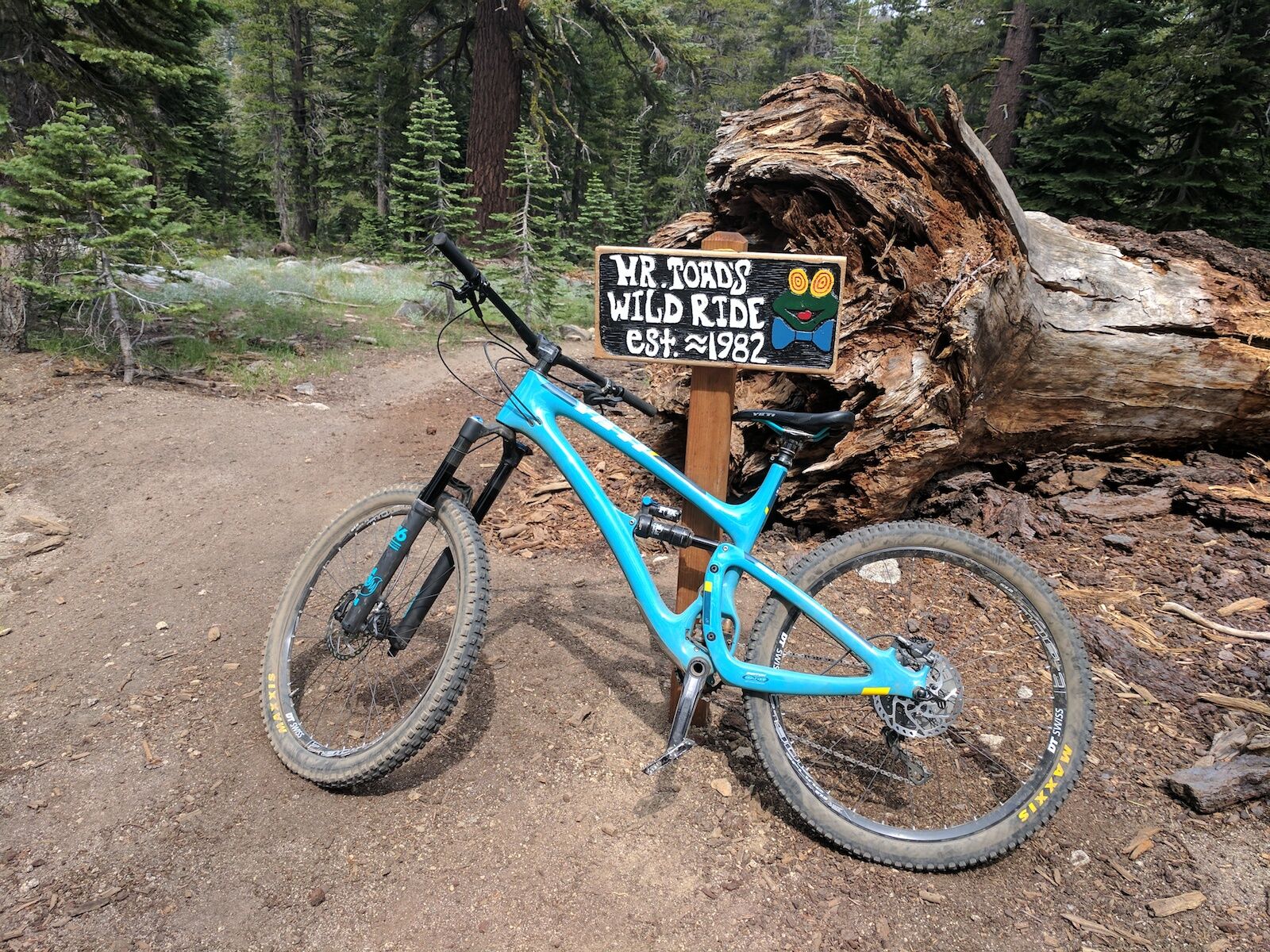
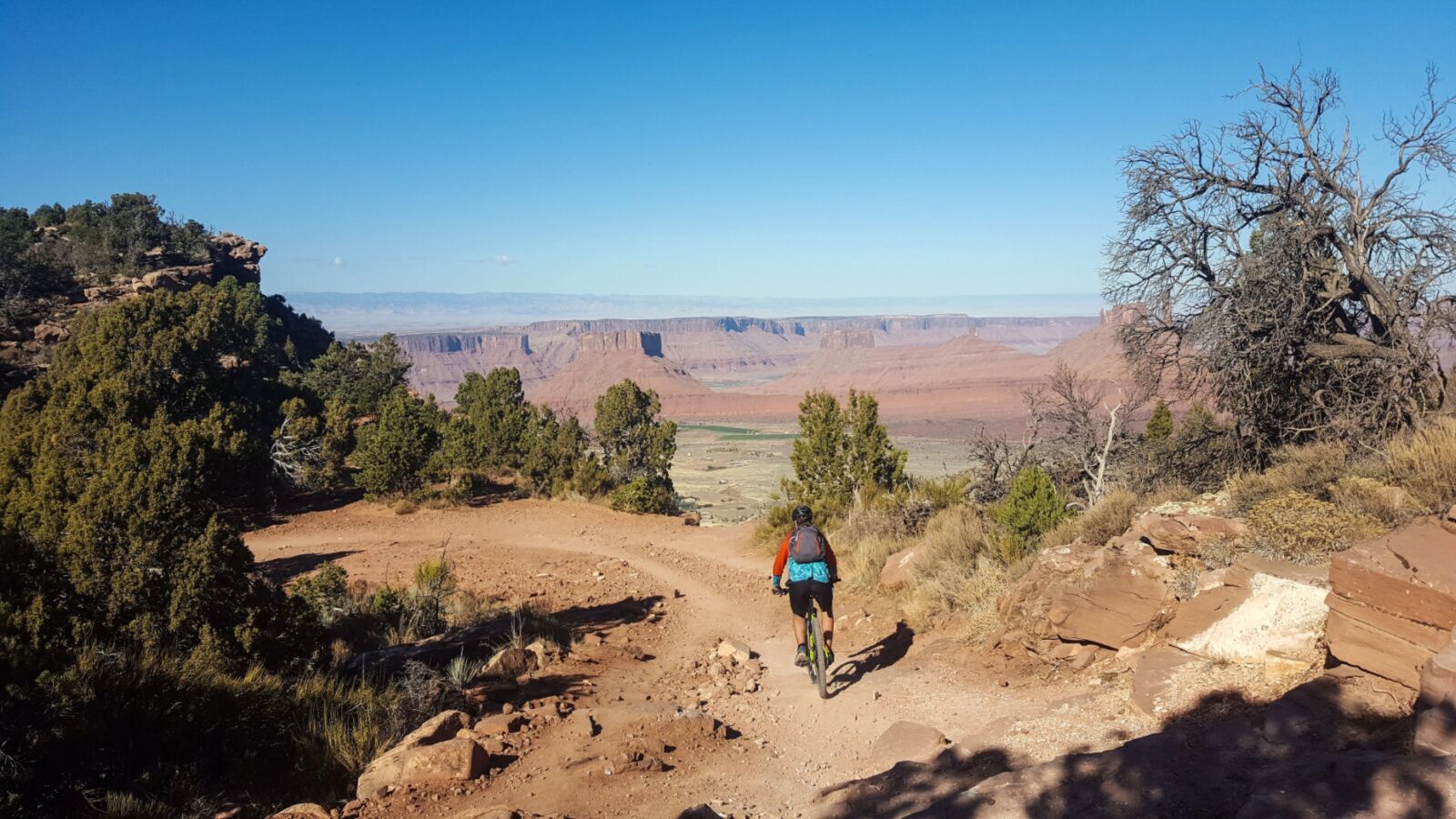
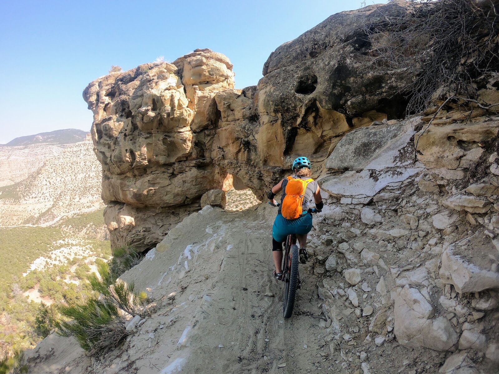
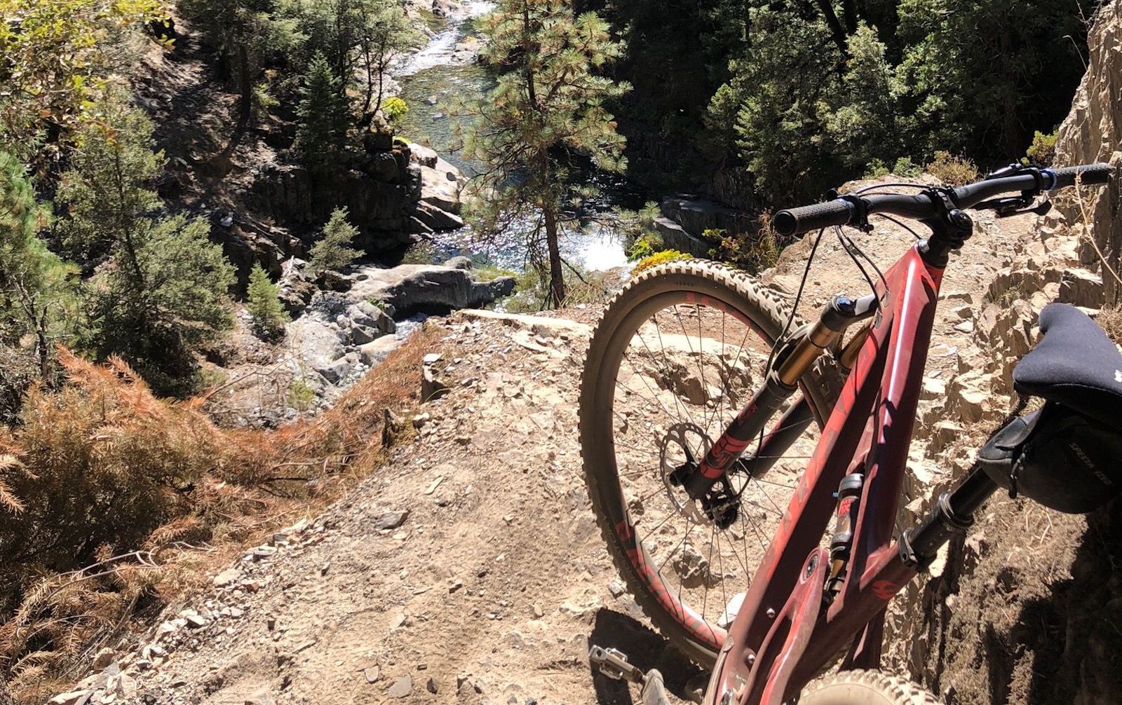
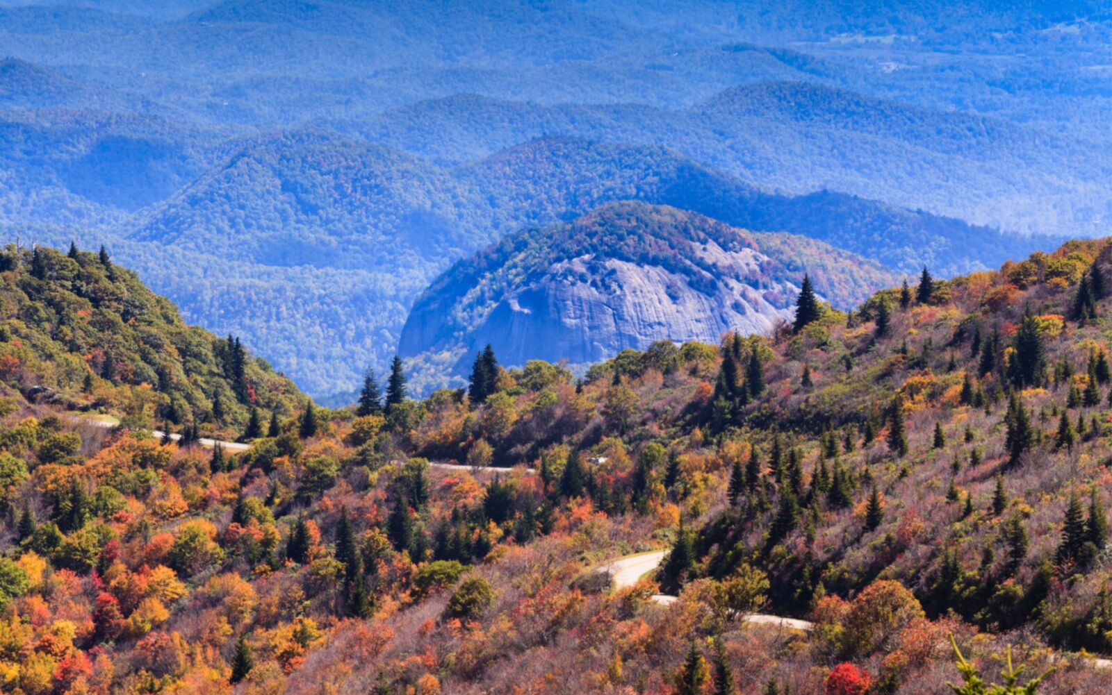
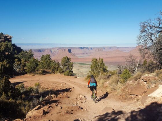
From the red rock deserts of the Southwest to the leafy summits of the Blue Ridge Mountains, America’s most striking natural features have also inspired some of the country’s most extreme mountain biking trails. Studded with bone-rattling rock gardens, technical stretches of slickrock, adrenaline-charged drops, and ledges to inspire vertigo, these rides are not for beginners – or the faint of heart.

With routes across 20 different states rated as Epics by the International Mountain Biking Association (IMBA), there’s a lot out there to ride. Whether you’re looking for the gnarliest Moab mountain biking or prefer the long-distance sufferfests of mountain traversing, you’ll find something amazing out there if you’re up for a challenge.

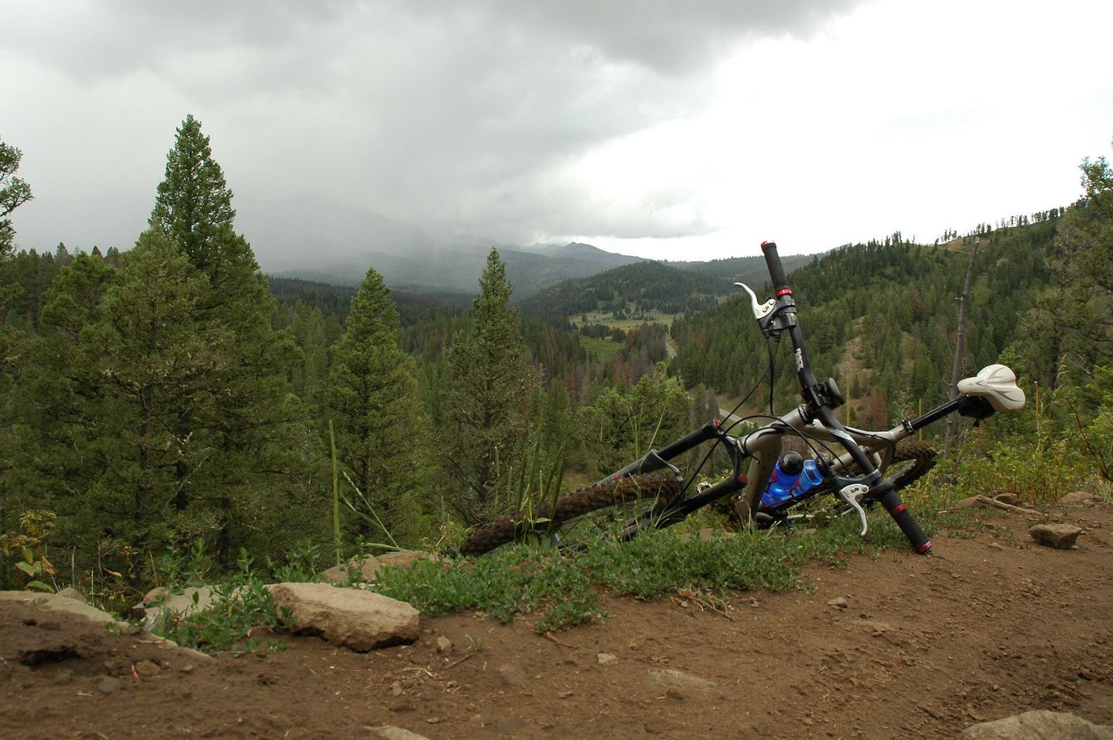
These are the most extreme mountain bikes in the country, in destinations you may or may not have heard of – it’s not just well-known options like Moab mountain biking that can tax even the most advanced riders. Add these to your mountain bike must-do list if you’re serious about the sport (and own plenty of protective gear).

Rose to Toads, Nevada

moab mountain biking and other places - tahoe

Photo: Suzie Dundas

  • Distance: 64.5 miles
  • Up/down: +8,480 feet, -10,788 feet
  • Expect: Grinding climbs, technical descents, and unsurpassed views of Lake Tahoe and the Humboldt-Toiyabe National Forest

Arguably Tahoe’s most storied ride, the Rose to Toads route is also the name of an annual race hosted by the Tahoe Area Mountain Bike Association (TAMBA). A full-day excursion, the 64.5-mile trail runs the length of Lake Tahoe and is typically rideable beginning in early summer, depending on snowmelt.

The route begins on the flanks of 10,785-foot Mount Rose and quickly descends to the Tahoe Rim Trail, dishing up heady views of America’s second-deepest lake. Grueling climbs begin between Kingsbury Grade and Star Lake and continue to the ride’s encore — Mr. Toad’s Wild Ride. The appropriately-named strip of singletrack plummets more than 2,500 feet in under 10 miles, with tight turns, nerve-rattling drops, and loads of rock.

Dirty Gypsy Adventures and Wanna Ride Tahoe offer shuttle services for Roads to Toads route. And if you want to extend your time in Tahoe, the Nevada Beach Campground and the Eagle Point Campground have campsites along the lake’s southern shore.

The Whole Enchilada, Utah

moab mountain biking - whole enchilada

Photo: Peter Istvan/Shutterstock

  • Distance: 26.8 miles
  • Up/down: +1,272 feet, -7,750 feet
  • Expect: Tricky drops, challenging slickrock, and heady Southwestern scenery

A portal to Arches National Park and Canyonlands National Park along with the La Sal Mountains, visiting Moab — and, specifically, doing some Moab mountain biking — is a life-list destination for many adventure sport enthusiasts.

For visiting riders, The Whole Enchilada is quite possibly the crème de la crème of Moab mountain biking and the area’s most iconic route. Typically rideable between July and early October, the trail begins in the La Sal Mountains southeast of town and ends at the cliff-cradled Colorado River, delivering a 26.8-mile ride with more than 7,000 feet of spine-rattling downhill.

For shuttle-dropped riders, the trip starts at Geyson Pass, and the gritty climbs begin early on the Burro Pass Trail, topping out above treeline. Then expect a rollercoaster ride on the way to Warner Lake followed by flowing descent. The route then breaks for the ledge of Porcupine Rim, the ride’s most technical and scenic stretch.

Riders will want to pause to savor the views of Castle Valley (and breathe a bit) before tackling the plunging turns, ledges, and heart-pounding drops during the drop from Porcupine Rim. Not all Moab mountain biking is quite this gnarly and there are plenty of other fabulous trails in the area, so don’t force yourself to try it unless you know you’re ready.

A handful of Moab-based outfitters offer shuttle services for visitors, including Porcupine Shuttle, Whole Enchilada Shuttle, Coyote Shuttle, Moab Cyclery, and the Hazard County Shuttle.

Palisade Plunge, Colorado

mountain biking moab - palisade plunge colorado

Photo: Suzie Dundas

  • Distance: 32 miles
  • Up/down: +1,287 feet, -5,883 feet
  • Expect: Tight switchbacks, narrow ledges, flowing descents, and dazzling views of the Grand Valley

Barely a year old, the Palisade Plunge is a dazzling backcountry traverse, crafted largely because of the Colorado Plateau Mountain Bike Association (COPMOBA) efforts.

In southwestern Colorado, the aptly named ‘Plunge’ is a 32-mile ramble from the top of Grand Mesa to the Town of Palisade, descending nearly 6,000 feet along the way. The full-day ride begins with a fire road descent, followed by aspen-framed singletrack. But the techy terrain begins soon after with Otto’s Wall serving up a medley of slender ledges and serpentine switchbacks descending to the Kannah Creek Basin.

More technical flow follows, with a jumble of punchy jumps and berms, then tight lines and steep ledges with little room for error. More tight lines and drops follow along the route’s final run to the Colorado River, with some easier and fun cruising areas through washes before hitting the valley floor.

For a lift to the top of the mesa, Rapid Creek Cycles & Sports, Absolute Prestige Limousine, Hermosa Tours, Pali-Tours, and Powderhorn Mountain Resort all provide shuttle service from Palisade. For a little après-adventure relaxation, spend a recovery day exploring the wineries clustered outside town, all part of the Grand Valley American Viticultural Area.

Downieville Downhill, California

downieville california - moab mountain biking

Photo: AllTrails

  • Distance: 15 miles
  • Up/down: +816 feet, -4,915 feet
  • Expect: Plunging descents, vertigo-inducing ledges, and technical rock gardens

Stashed away in California’s Lost Sierra region, the river-cradled town of Downieville is among the state’s most well-known mountain biking epicenters, thanks in part to an adrenaline-charged race known as the Downieville Classic — a local tradition since 1995.

But you don’t have to enter the official race to tackle the epic ride. Just be ready for a challenge. While Moab mountain biking may have a reputation for being the hardest technical riding in the US, Downieville is no joke, especially at the trail’s usual very high speeds.

It’s a 15-mile trip from the Packer Saddle back to town and is a hard-charging ride cobbled together from historic mining trails, forest roads, and dried-up waterways. The route begins with the berm-studded Sunrise Trail, then flows into the rock-buttressed terrain of Butcher Ranch – the route’s most technical stretch. The final drop to town has roots, rock gardens, and a handful of vertiginous ledges. There are also several miles filled with “baby heads” – a somewhat macabre name for endless small rocks and bumps that’ll leave your knuckles throbbing.

In Downieville, Downieville Outfitters offers shuttle services for the Downieville Downhill. Post-ride, most riders stop to hit one of the easily accessible swimming holes in Downieville, or extend your adventure and snag a riverside campsite in the Tahoe National Forest (or at one of the dozen campgrounds spread along Highway 49).

Black Mountain Loop, North Carolina

pisgah national forest

Photo: Cvandyke/Shutterstock

  • Distance: 12.1 miles
  • Up/down: +2,171 feet,  -2,164 feet
  • Expect: Grueling climbs, root-riddled singletrack, fast-flowing descents

Pisgah National Forest is a must-visit for singletrack aficionados in mountain-riddled western North Carolina. Crowned by the high peaks of the Blue Ridge and offshoots (including the Black Mountains and the Great Balsam Mountains), the national forest brims with technical terrain.

For a bite-sized taste of the gritty singletrack, head for the Black Mountain Loop, beginning at the Pisgah Ranger Station north of Brevard. The 12-mile circuit starts with a series of climbs, including a grueling gravel ascent of more than 1,300 feet on Clawhammer Road. But after all the grating uphill, there’s a sweet reward: the 7.3-mile Black Mountain Trail. Riveted with roots and rocks, it drops more than 1,900 feet toward the Davidson River, gradually becoming less technical at lower elevations.

To make an overnight of it, grab a site at the Davidson River Campground, about half a mile from the Pisgah Ranger Station. And be sure to load up on local beers from Brevard’s five microbreweries before you get your campfire going.

Evolution, Unemployment Atomic Dog Descent, Washington

washington state mtb

Photo: AllTrails

  • Distance: 7.4 miles
  • Up/down: +/- 1,153 feet
  • Expect: Leafy singletrack, plenty of well-built features, flowing drops

Nestled between Lake Samish and Lake Whatcom on the outskirts of Bellingham, Galbraith Mountain is a trail-threaded playground for downhill riders managed by the Whatcom Mountain Bike Coalition.

To sample the 65-mile trail network’s most technical terrain, hit the “Evolution, Unemployment Line, Atomic Dog Descent,” a lollipop loop totaling 7.4 miles. The thrills start with flowing downhill on Unemployment Line and continue on Evolution. It’s a ridgeline descent riddled with drops, ladders, and tabletops. The lower portion of Unemployment Line on the way back to the Samish Way parking area dazzles with berms, jumps, and gaps, though Atomic Dog is the final, exhilarating encore. Look forward to singletrack littered with roots and rocks – it’s a fun technical section.

Rothrock TrailMix, Pennsylvania

PA state forest mountain biking

Photo: AllTrails

  • Distance: 35.1 miles
  • Up/down: +/- 4,277 feet
  • Expect: Ridgetop rambles, rock gardens, boxy rhododendron tunnels, and flowing descents

Just outside State College, Pennsylvania’s Rothrock State Forest serves up more than 100 miles of trails for mountain bikers, along with 190 miles of forest roads for gravel riders maintained in partnership with the Nittany Mountain Biking Association.

The forest offers a chance to see what the larger Ridge-and-Valley Appalachians (part of the greater Appalachian Range) are like. It’s also hosted some of Pennsylvania’s toughest races, including the Rothrock Grit Gravel Grinder.

For a taste of the ridge-rippled terrain, ride Rothrock TrailMix, one of the state forest’s two IMBA Epics. A half-day expedition, the 35-mile route strings together some of Rothrock’s most technical trails, beginning with a series of leg-burning climbs and nerve-rattling rock gardens. The return includes ridgeline rambles on Bald Knob Ridge Trail and Tussey Mountain Trail, along with the fast and flowy Tussey Mountain Extension.

For the lay of the land, download the route on your favorite biking app or grab a trail map for Rothrock State Forest from Purple Lizard Maps – the company specializing in mapping public lands in Pennsylvania.

Bangtail Divide, Montana

banger divide moab mountain biking

Photo: AllTrails

  • Distance: 30
  • Up/down: +/- 4,090 feet
  • Expect: Ridgetop riding, tight switchbacks, flowy downhill, and expansive views of Bridger Canyon

Twisting through an especially pretty part of Gallatin National Forest, the Bangtail Divide is a medley of gritty climbs, ridgetop rolls, and swift-flowing descents through groves of lodgepole pine and wildflower-peppered meadows. It’s usually doable between June and October.

Easily accessible from Bozeman, this IMBA Epic begins with a leg-burning ascent to the top of the divide, but there’s a sweet payoff: views of the Bridger Range and the Crazy Mountains. After a final climb, the true downhill begins, with a flowing descent from the crest of Grassy Mountain.

The Gallatin Valley has natural hot springs perfect for soaking trail-battered joints après-adventure. Note that if you don’t arrange to shuttle, you’ll have to ride along a paved stretch for a large section in the beginning.

Discover Matador