Looking at a map of the world before the continents took their current shape and place can be a trippy experience. That’s especially true when you can identify your hometown on those ancient maps. Now you can do just that. Ian Webster, a paleontologist in California, has created an interactive map that lets people see how their hometown’s location has shifted over 750 million years.
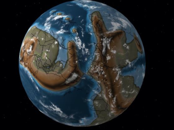
Photo: Ian Webster
This Interactive Map of Earth Shows Where Your Hometown Was Located Millions of Years Ago
Webster told CNN, “It shows that our environment is dynamic and can change. The history of Earth is longer than we can conceive, and the current arrangement of plate tectonics and continents is an accident of time. It will be very different in the future, and Earth may outlast us all.”
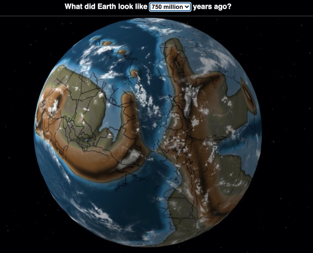
Photo: Ian Webster
The interactive map is an application that sits on top of another map created by geologist and paleontographer Christopher Scotese, which shows tectonic development over the course of 750 million years. Webster’s map also uses a software that helps visualize plate tectonic reconstructions.
All you have to do is enter your location. That location then gets plugged into the plate tectonic models, allowing you to see where your hometown was located hundreds of millions of years ago. As a bonus, you’ll also see what dinosaurs used to live near your childhood home. ![]()